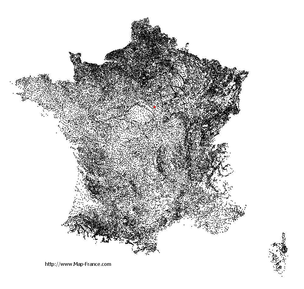
Aillant-sur-Milleron on the relief France map in Lambert 93 coordinates
|

See the map of Aillant-sur-Milleron in full screen (1000 x 949)
|
At left, here is the location of Aillant-sur-Milleron on the relief France map in Lambert 93 coordinates.
Here are the altitudes of Aillant-sur-Milleron :
- Town hall altitude of Aillant-sur-Milleron is 165 meters
- Minimum altitude of Aillant-sur-Milleron is 138 meters
- Maximum altitude of Aillant-sur-Milleron is 196 meters
- Medium altitude of Aillant-sur-Milleron is 167 meters
Here are the altitudes of Orléans, prefecture of Loiret department:
- Town hall altitude of Orléans is 110 meters
- Minimum altitude of Orléans is 90 meters
- Maximum altitude of Orléans is 124 meters
- Medium altitude of Orléans is 107 meters
Here are the altitudes of the french biggest cities:
Paris : 33 meters
Marseille : 20 meters
Lyon : 237 meters
Toulouse : 146 meters
Nice : 10 meters
Nantes : 20 meters
Strasbourg : 144 meters
Montpellier : 35 meters
Bordeaux : 16 meters
Lille : 20 meters
Rennes : 35 meters
Reims : 83 meters
Click here for the terrain map of Aillant-sur-Milleron in full screen:
Relief map of Aillant-sur-Milleron
|
This relief map of Aillant-sur-Milleron is reusable and modifiable by making a link to this page of the Map-France.com website or by using the given code :
|
Terrain base map of Aillant-sur-Milleron
|

See the terrain base map of Aillant-sur-Milleron in full screen (1000 x 949)
|
Small relief base map of Aillant-sur-Milleron

|
This base map of Aillant-sur-Milleron is reusable and modifiable by making a link to this page of the Map-France.com website or by using the given code :
|
Map of Aillant-sur-Milleron with regions and prefectures
|
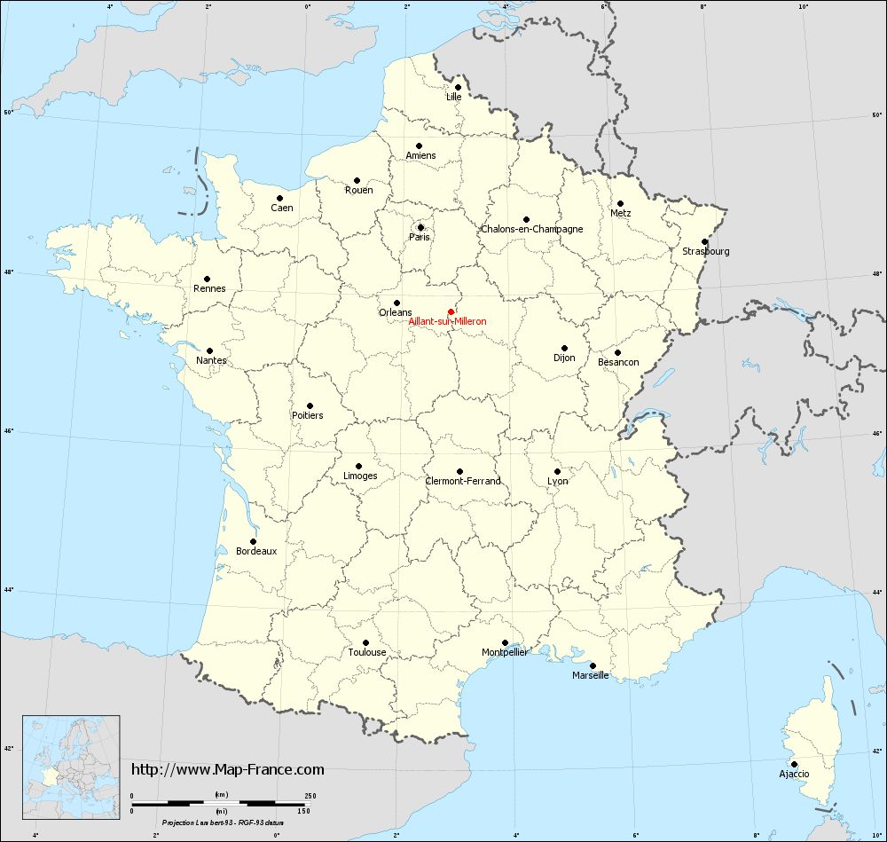
View the map of Aillant-sur-Milleron in full screen (1000 x 949)
|
You will find the location of Aillant-sur-Milleron on the map of France of regions in Lambert 93 coordinates. The town of Aillant-sur-Milleron is located in the department of Loiret of the french region Centre.
Geographical sexagesimal coordinates / GPS (WGS84):
Latitude: 47° 47' 34'' North
Longitude: 02° 55' 47'' East
Geographical decimal coordinates :
Latitude: 47.793 degrees (47.793° North)
Longitude: 2.931 degrees (2.931° East)
Lambert 93 coordinates :
X: 6 947 hectometers
Y: 67 436 hectometers
Lambert 2 coordinates :
X: 6 445 hectometers
Y: 23 106 hectometers
Below, the geographical coordinates of Orléans, prefecture of the Loiret department:
Geographical sexagesimal coordinates / GPS (WGS84):
Latitude: 47° 54' 08'' North
Longitude: 01° 54' 15'' East
Geographical decimal coordinates :
Latitude: 47.904 degrees (47.904° North)
Longitude: 1.907 degrees (1.907° East)
Lambert 93 coordinates :
X: 6 181 hectometers
Y: 67 563 hectometers
Lambert 2 coordinates :
X: 5 677 hectometers
Y: 23 226 hectometers
|
This map of Aillant-sur-Milleron is reusable and modifiable by making a link to this page of the Map-France.com website or by using the given code :
|
Map of Aillant-sur-Milleron with departments and prefectures
|
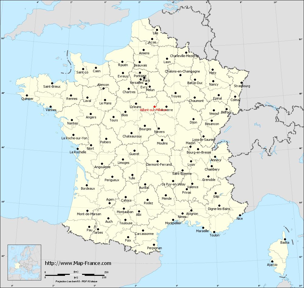
Voir la carte of Aillant-sur-Milleron en grand format (1000 x 949)
|
Here is the localization of Aillant-sur-Milleron on the France map of departments in Lambert 93 coordinates. The city of Aillant-sur-Milleron is shown on the map by a red point.
The town of Aillant-sur-Milleron is located in the department of Loiret of the french region Centre.
The latitude of Aillant-sur-Milleron is 47.793 degrees North.
The longitude of Aillant-sur-Milleron is 2.931 degrees East.
Here the distance between Aillant-sur-Milleron and the biggest cities of France:
Distances are calculated as the crow flies (orthodromic distance)
Distance between Aillant-sur-Milleron and Paris : 126.26 kilometers
Distance between Aillant-sur-Milleron and Marseille : 535.08 kilometers
Distance between Aillant-sur-Milleron and Lyon : 268.35 kilometers
Distance between Aillant-sur-Milleron and Toulouse : 479.81 kilometers
Distance between Aillant-sur-Milleron and Nice : 564.57 kilometers
Distance between Aillant-sur-Milleron and Nantes : 342.53 kilometers
Distance between Aillant-sur-Milleron and Strasbourg : 367.99 kilometers
Distance between Aillant-sur-Milleron and Montpellier : 470.61 kilometers
Distance between Aillant-sur-Milleron and Bordeaux : 423.94 kilometers
Distance between Aillant-sur-Milleron and Lille : 315.09 kilometers
Distance between Aillant-sur-Milleron and Rennes : 344.86 kilometers
Distance between Aillant-sur-Milleron and Reims : 181.8 kilometers
Clic here to see the map of Aillant-sur-Milleron in full screen:
Aillant-sur-Milleron on the map of french departments
|
This administrative map of Aillant-sur-Milleron is reusable and modifiable by making a link to this page of the Map-France.com website or by using the given code :
|
Administrative base maps of Aillant-sur-Milleron
|

See the administrative base map of Aillant-sur-Milleron in full screen (1000 x 949)
|
Small administrative base map of Aillant-sur-Milleron
|
This base map administrative of Aillant-sur-Milleron is reusable and modifiable by making a link to this page of the Map-France.com website or by using the given code :
|
 French Version : http://www.cartesfrance.fr