Map of France

Angervilliers photos


Find a town, a zip code,
a department, a region... in France
I like Map-France.com !


Angervilliers pictures


Here are the photos of the town of Angervilliers and nearby towns. Angervilliers is located in the department of Essonne in the region of Île-de-France. You will find the satellite map of Angervilliers under these photos.

To see photos of nearby towns of Angervilliers, you can try the following links :
   - Pictures of Le Val-Saint-Germain (91530) : town located at 3.05 km
   - Pictures of Saint-Cyr-sous-Dourdan (91410) : town located at 3.30 km
   - Pictures of Bonnelles (78830) : town located at 3.69 km
   - Pictures of Vaugrigneuse (91640) : town located at 4.32 km
   - Pictures of Saint-Maurice-Montcouronne (91530) : town located at 4.59 km
   - Pictures of Forges-les-Bains (91470) : town located at 4.74 km
   - Pictures of Longvilliers (78730) : town located at 5.51 km
   - Pictures of Rochefort-en-Yvelines (78730) : town located at 5.53 km
   - Pictures of Briis-sous-Forges (91640) : town located at 5.62 km
   - Pictures of Bullion (78830) : town located at 5.90 km
   - Pictures of Limours (91470) : town located at 5.90 km
   - Pictures of Pecqueuse (91470) : town located at 6.13 km

 - photos of the department prefecture of Essonne : photos of Évry
 - pictures of others cities of Essonne : Essonne


To see Angervilliers from the sky, here is the satellite map of the town of Angervilliers : Angervilliers map.

I like Angervilliers !


Photos of the town of Angervilliers

These photos taken near the town of Angervilliers can be shown in full screen clicking on the thumbnails. Photos are copyrighted by their owners.

SymmetryInElectricity - Photo of Angervilliers
SymmetryInElectricity

20240630_110118 - Photo of Angervilliers
20240630_110118

le mur du temps - Photo of Angervilliers
le mur du temps

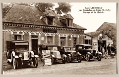
Garage de la Mairie. - Photo of Angervilliers
Garage de la Mairie.

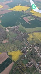
View of village on approach to Paris-Orly Airport, France - Photo of Angervilliers
View of village on approach to Paris-Orly Airport, France

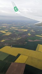
View of farms on approach to Paris-Orly Airport, France - Photo of Angervilliers
View of farms on approach to Paris-Orly Airport, France

PTT - Photo of Angervilliers
PTT

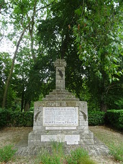
War memorial - Photo of Angervilliers
War memorial

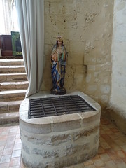
Water well - Photo of Angervilliers
Water well

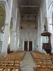
A Eglise - Photo of Angervilliers
A Eglise

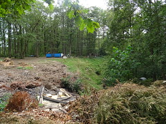
Dump - Photo of Angervilliers
Dump

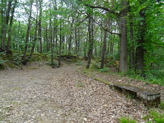
Camping in transition - Photo of Angervilliers
Camping in transition

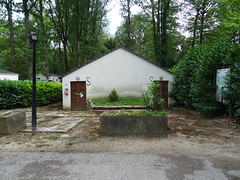
Abandoned bathhouse - Photo of Angervilliers
Abandoned bathhouse

Stones - Photo of Angervilliers
Stones


Angervilliers from the sky


Old photos of the town of Angervilliers

These photos taken near the town of Angervilliers can be shown in full screen clicking on the thumbnails. Photos are copyrighted by their owners.


Other maps, hotels and towns in france


Find another town, zip code, department, region, ...


Quick links Angervilliers :


Back to the menus Map of France :


Make a link to this page of Angervilliers with the following code :


Map of France | Regions | Departments | Cities | Partners | Terms | Contact