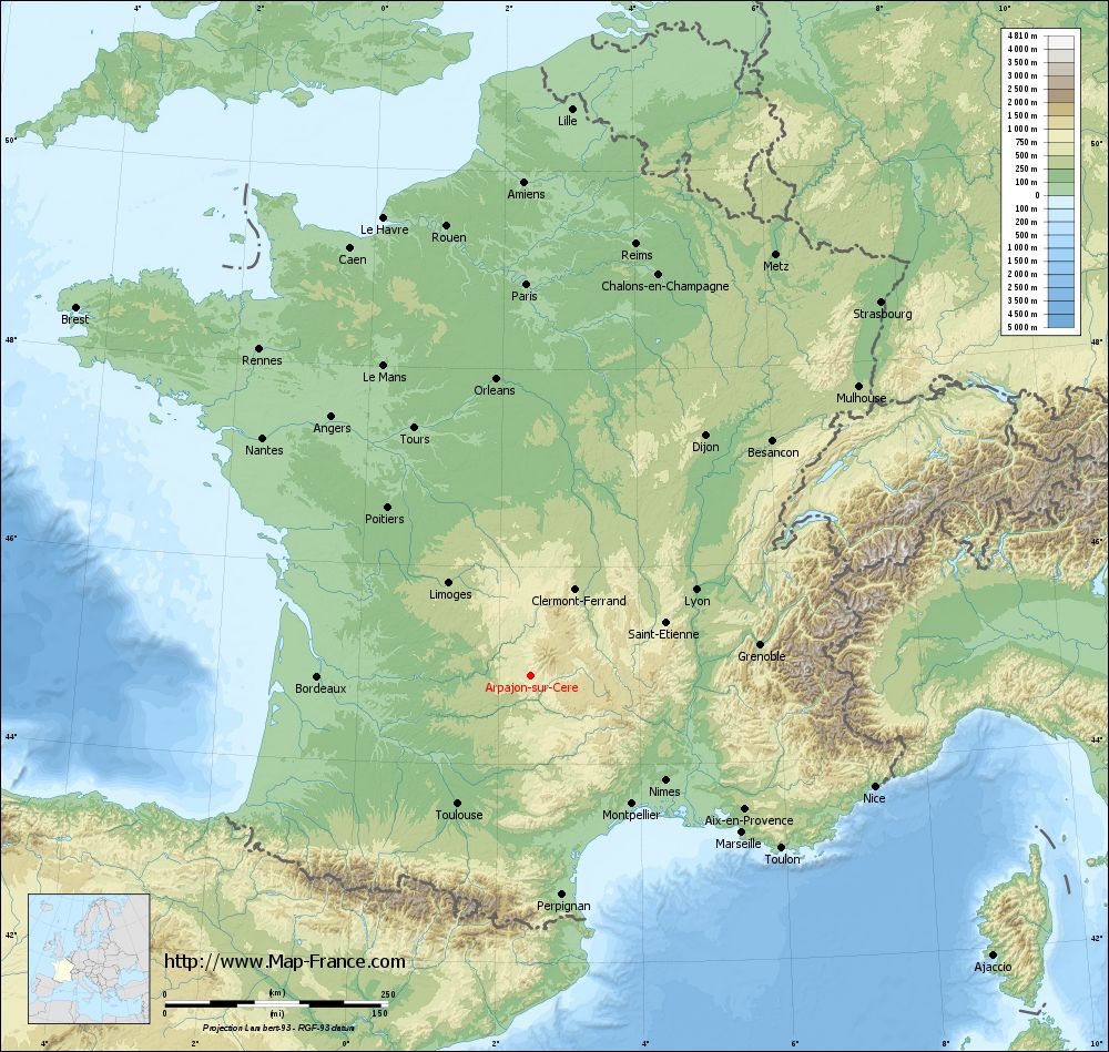
Arpajon-sur-Cère on the relief France map in Lambert 93 coordinates
|
See the map of Arpajon-sur-Cère in full screen (1000 x 949)
|
At left, here is the location of Arpajon-sur-Cère on the relief France map in Lambert 93 coordinates.
Here are the altitudes of Arpajon-sur-Cère :
- Town hall altitude of Arpajon-sur-Cère is 630 meters
- Minimum altitude of Arpajon-sur-Cère is 566 meters
- Maximum altitude of Arpajon-sur-Cère is 844 meters
- Medium altitude of Arpajon-sur-Cère is 705 meters
Here are the altitudes of Aurillac, prefecture of Cantal department:
- Town hall altitude of Aurillac is 620 meters
- Minimum altitude of Aurillac is 573 meters
- Maximum altitude of Aurillac is 867 meters
- Medium altitude of Aurillac is 720 meters
Here are the altitudes of the french biggest cities:
Paris : 33 meters
Marseille : 20 meters
Lyon : 237 meters
Toulouse : 146 meters
Nice : 10 meters
Nantes : 20 meters
Strasbourg : 144 meters
Montpellier : 35 meters
Bordeaux : 16 meters
Lille : 20 meters
Rennes : 35 meters
Reims : 83 meters
Click here for the terrain map of Arpajon-sur-Cère in full screen:
Relief map of Arpajon-sur-Cère
|
This relief map of Arpajon-sur-Cère is reusable and modifiable by making a link to this page of the Map-France.com website or by using the given code :
|
Terrain base map of Arpajon-sur-Cère
|

See the terrain base map of Arpajon-sur-Cère in full screen (1000 x 949)
|
Small relief base map of Arpajon-sur-Cère
|
This base map of Arpajon-sur-Cère is reusable and modifiable by making a link to this page of the Map-France.com website or by using the given code :
|
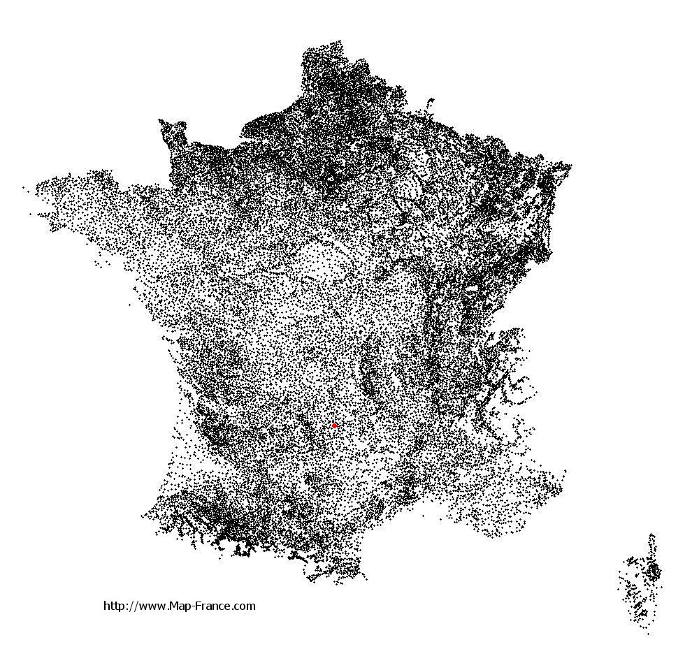
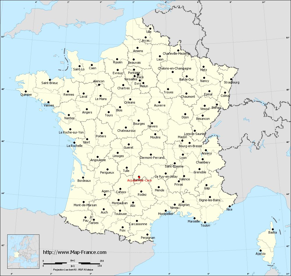
Map of Arpajon-sur-Cère with regions and prefectures
|
View the map of Arpajon-sur-Cère in full screen (1000 x 949)
|
You will find the location of Arpajon-sur-Cère on the map of France of regions in Lambert 93 coordinates. The city of Arpajon-sur-Cère is located in the department of Cantal of the french region Auvergne.
Geographical sexagesimal coordinates / GPS (WGS84):
Latitude: 44° 54' 14'' North
Longitude: 02° 27' 24'' East
Geographical decimal coordinates :
Latitude: 44.901 degrees (44.901° North)
Longitude: 2.46 degrees (2.46° East)
Lambert 93 coordinates :
X: 6 571 hectometers
Y: 64 229 hectometers
Lambert 2 coordinates :
X: 6 095 hectometers
Y: 19 893 hectometers
Below, the geographical coordinates of Aurillac, prefecture of the Cantal department:
Geographical sexagesimal coordinates / GPS (WGS84):
Latitude: 44° 55' 31'' North
Longitude: 02° 26' 23'' East
Geographical decimal coordinates :
Latitude: 44.927 degrees (44.927° North)
Longitude: 2.444 degrees (2.444° East)
Lambert 93 coordinates :
X: 6 558 hectometers
Y: 64 253 hectometers
Lambert 2 coordinates :
X: 6 082 hectometers
Y: 19 916 hectometers
|
This map of Arpajon-sur-Cère is reusable and modifiable by making a link to this page of the Map-France.com website or by using the given code :
|
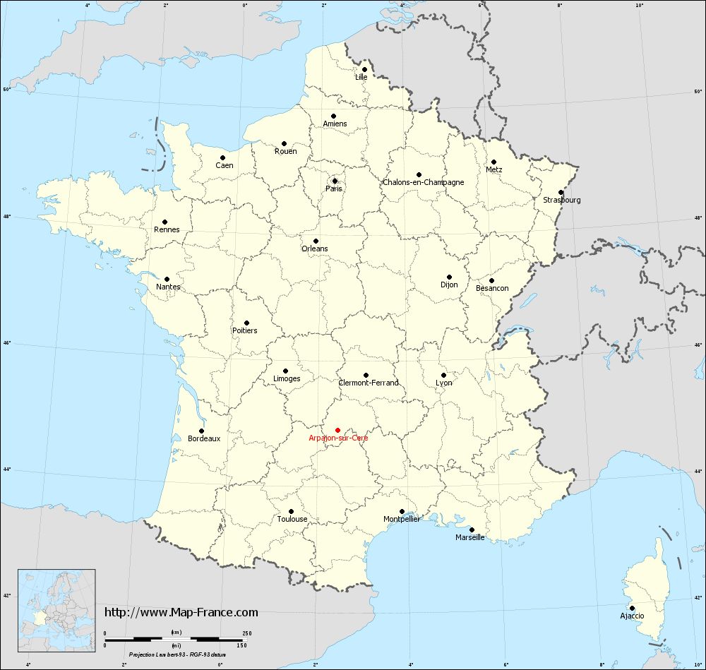
Map of Arpajon-sur-Cère with departments and prefectures
|
Voir la carte of Arpajon-sur-Cère en grand format (1000 x 949)
|
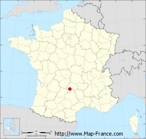
Here is the localization of Arpajon-sur-Cère on the France map of departments in Lambert 93 coordinates. The city of Arpajon-sur-Cère is shown on the map by a red point.
The city of Arpajon-sur-Cère is located in the department of Cantal of the french region Auvergne.
The latitude of Arpajon-sur-Cère is 44.901 degrees North.
The longitude of Arpajon-sur-Cère is 2.46 degrees East.
Here the distance between Arpajon-sur-Cère and the biggest cities of France:
Distances are calculated as the crow flies (orthodromic distance)
Distance between Arpajon-sur-Cère and Paris : 440.03 kilometers
Distance between Arpajon-sur-Cère and Marseille : 294.52 kilometers
Distance between Arpajon-sur-Cère and Lyon : 208.6 kilometers
Distance between Arpajon-sur-Cère and Toulouse : 165.38 kilometers
Distance between Arpajon-sur-Cère and Nice : 404.21 kilometers
Distance between Arpajon-sur-Cère and Nantes : 402.5 kilometers
Distance between Arpajon-sur-Cère and Strasbourg : 574.26 kilometers
Distance between Arpajon-sur-Cère and Montpellier : 182.43 kilometers
Distance between Arpajon-sur-Cère and Bordeaux : 239.02 kilometers
Distance between Arpajon-sur-Cère and Lille : 637.79 kilometers
Distance between Arpajon-sur-Cère and Rennes : 476.49 kilometers
Distance between Arpajon-sur-Cère and Reims : 498.45 kilometers
Clic here to see the map of Arpajon-sur-Cère in full screen:
Arpajon-sur-Cère on the map of french departments
|
This administrative map of Arpajon-sur-Cère is reusable and modifiable by making a link to this page of the Map-France.com website or by using the given code :
|
Administrative base maps of Arpajon-sur-Cère
|

See the administrative base map of Arpajon-sur-Cère in full screen (1000 x 949)
|
Small administrative base map of Arpajon-sur-Cère
|
This base map administrative of Arpajon-sur-Cère is reusable and modifiable by making a link to this page of the Map-France.com website or by using the given code :
|
 French Version : http://www.cartesfrance.fr