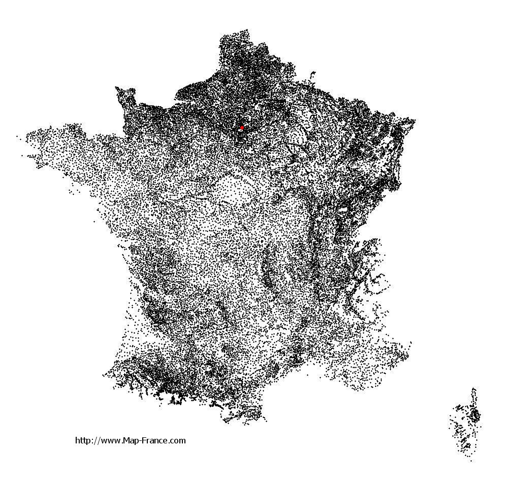
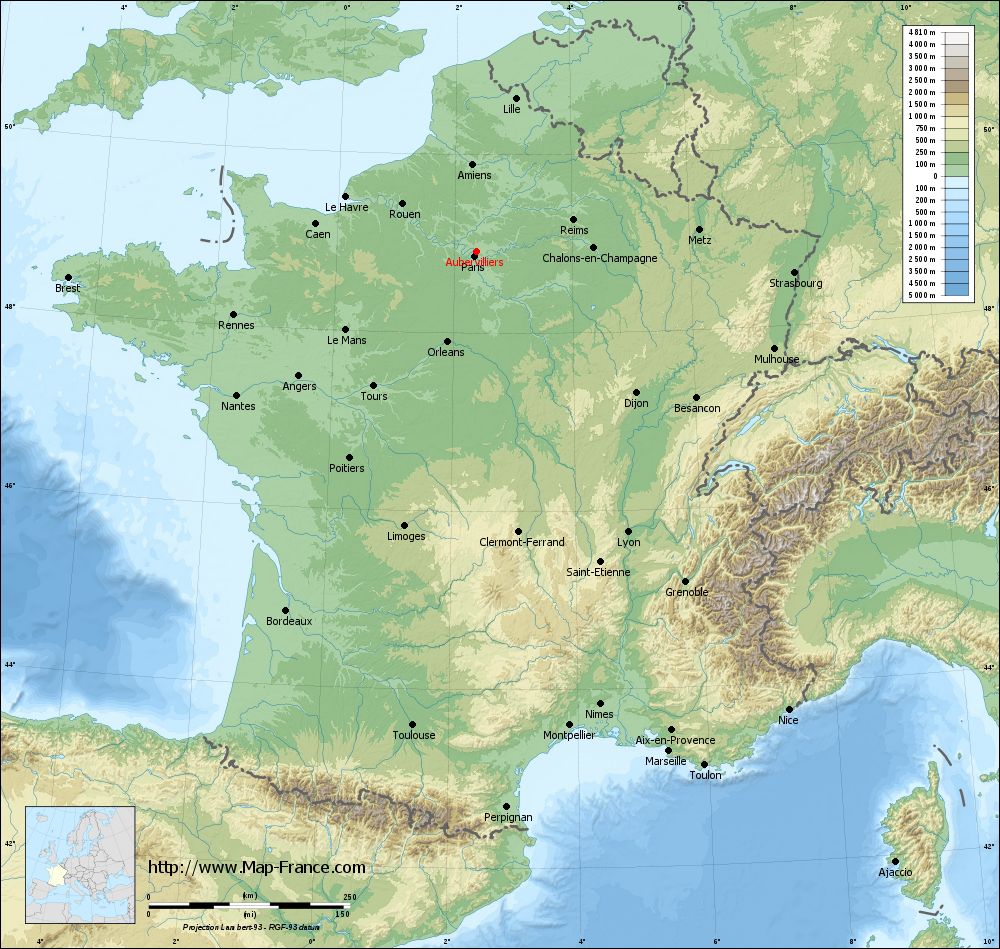
Aubervilliers on the relief France map in Lambert 93 coordinates
|
See the map of Aubervilliers in full screen (1000 x 949)
|
At left, here is the location of Aubervilliers on the relief France map in Lambert 93 coordinates.
Here are the altitudes of Aubervilliers :
- Town hall altitude of Aubervilliers is 40 meters
- Minimum altitude of Aubervilliers is 33 meters
- Maximum altitude of Aubervilliers is 46 meters
- Medium altitude of Aubervilliers is 40 meters
Here are the altitudes of Bobigny, prefecture of Seine-Saint-Denis department:
- Town hall altitude of Bobigny is 50 meters
- Minimum altitude of Bobigny is 39 meters
- Maximum altitude of Bobigny is 57 meters
- Medium altitude of Bobigny is 48 meters
Here are the altitudes of the french biggest cities:
Paris : 33 meters
Marseille : 20 meters
Lyon : 237 meters
Toulouse : 146 meters
Nice : 10 meters
Nantes : 20 meters
Strasbourg : 144 meters
Montpellier : 35 meters
Bordeaux : 16 meters
Lille : 20 meters
Rennes : 35 meters
Reims : 83 meters
Click here for the terrain map of Aubervilliers in full screen:
Relief map of Aubervilliers
|
This relief map of Aubervilliers is reusable and modifiable by making a link to this page of the Map-France.com website or by using the given code :
|
Terrain base map of Aubervilliers
|

See the terrain base map of Aubervilliers in full screen (1000 x 949)
|
Small relief base map of Aubervilliers

|
This base map of Aubervilliers is reusable and modifiable by making a link to this page of the Map-France.com website or by using the given code :
|
Map of Aubervilliers with regions and prefectures
|
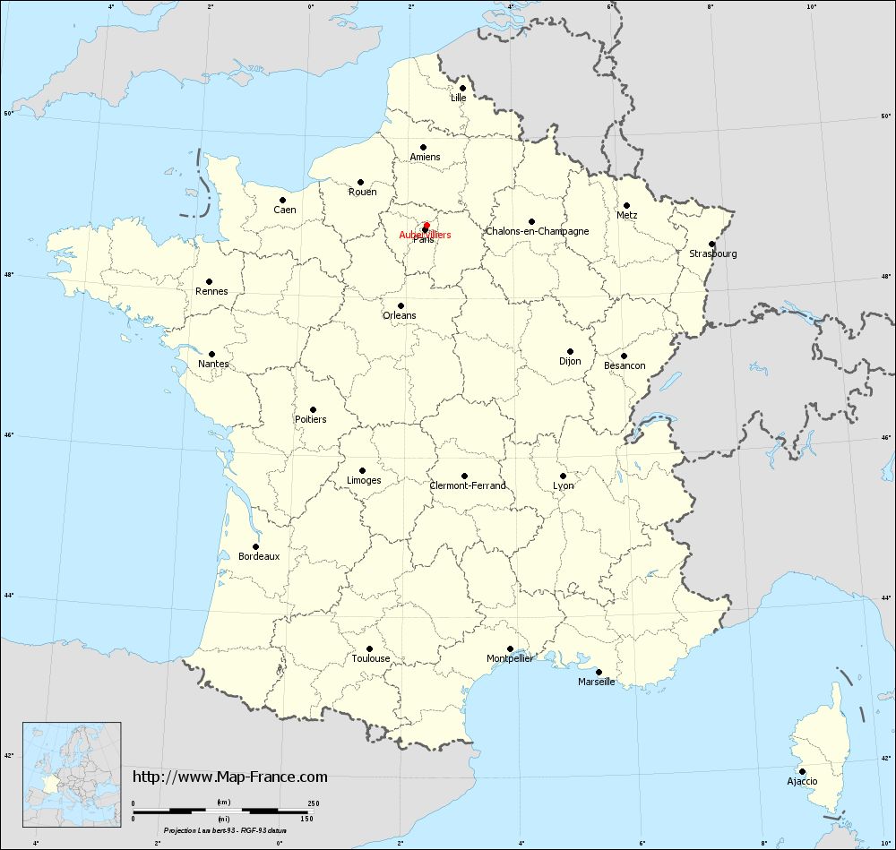
View the map of Aubervilliers in full screen (1000 x 949)
|
You will find the location of Aubervilliers on the map of France of regions in Lambert 93 coordinates. The city of Aubervilliers is located in the department of Seine-Saint-Denis of the french region Île-de-France.
Geographical sexagesimal coordinates / GPS (WGS84):
Latitude: 48° 54' 40'' North
Longitude: 02° 22' 57'' East
Geographical decimal coordinates :
Latitude: 48.913 degrees (48.913° North)
Longitude: 2.383 degrees (2.383° East)
Lambert 93 coordinates :
X: 6 547 hectometers
Y: 68 681 hectometers
Lambert 2 coordinates :
X: 6 034 hectometers
Y: 24 348 hectometers
Below, the geographical coordinates of Bobigny, prefecture of the Seine-Saint-Denis department:
Geographical sexagesimal coordinates / GPS (WGS84):
Latitude: 48° 54' 35'' North
Longitude: 02° 26' 19'' East
Geographical decimal coordinates :
Latitude: 48.908 degrees (48.908° North)
Longitude: 2.442 degrees (2.442° East)
Lambert 93 coordinates :
X: 6 589 hectometers
Y: 68 679 hectometers
Lambert 2 coordinates :
X: 6 075 hectometers
Y: 24 346 hectometers
|
This map of Aubervilliers is reusable and modifiable by making a link to this page of the Map-France.com website or by using the given code :
|
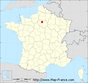
Map of Aubervilliers with departments and prefectures
|
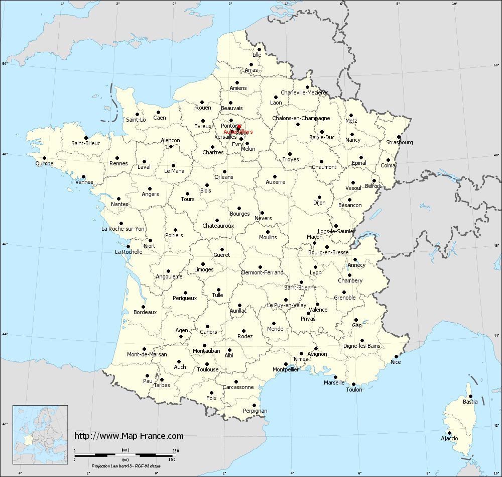
Voir la carte of Aubervilliers en grand format (1000 x 949)
|
Here is the localization of Aubervilliers on the France map of departments in Lambert 93 coordinates. The city of Aubervilliers is shown on the map by a red point.
The city of Aubervilliers is located in the department of Seine-Saint-Denis of the french region Île-de-France.
The latitude of Aubervilliers is 48.913 degrees North.
The longitude of Aubervilliers is 2.383 degrees East.
Here the distance between Aubervilliers and the biggest cities of France:
Distances are calculated as the crow flies (orthodromic distance)
Distance between Aubervilliers and Paris : 6.41 kilometers
Distance between Aubervilliers and Marseille : 665.65 kilometers
Distance between Aubervilliers and Lyon : 395.96 kilometers
Distance between Aubervilliers and Toulouse : 594.64 kilometers
Distance between Aubervilliers and Nice : 688.81 kilometers
Distance between Aubervilliers and Nantes : 347.59 kilometers
Distance between Aubervilliers and Strasbourg : 395.21 kilometers
Distance between Aubervilliers and Montpellier : 600.32 kilometers
Distance between Aubervilliers and Bordeaux : 504.84 kilometers
Distance between Aubervilliers and Lille : 196.37 kilometers
Distance between Aubervilliers and Rennes : 312.14 kilometers
Distance between Aubervilliers and Reims : 125.91 kilometers
Clic here to see the map of Aubervilliers in full screen:
Aubervilliers on the map of french departments
|
This administrative map of Aubervilliers is reusable and modifiable by making a link to this page of the Map-France.com website or by using the given code :
|
Administrative base maps of Aubervilliers
|

See the administrative base map of Aubervilliers in full screen (1000 x 949)
|
Small administrative base map of Aubervilliers
|
This base map administrative of Aubervilliers is reusable and modifiable by making a link to this page of the Map-France.com website or by using the given code :
|
 French Version : http://www.cartesfrance.fr