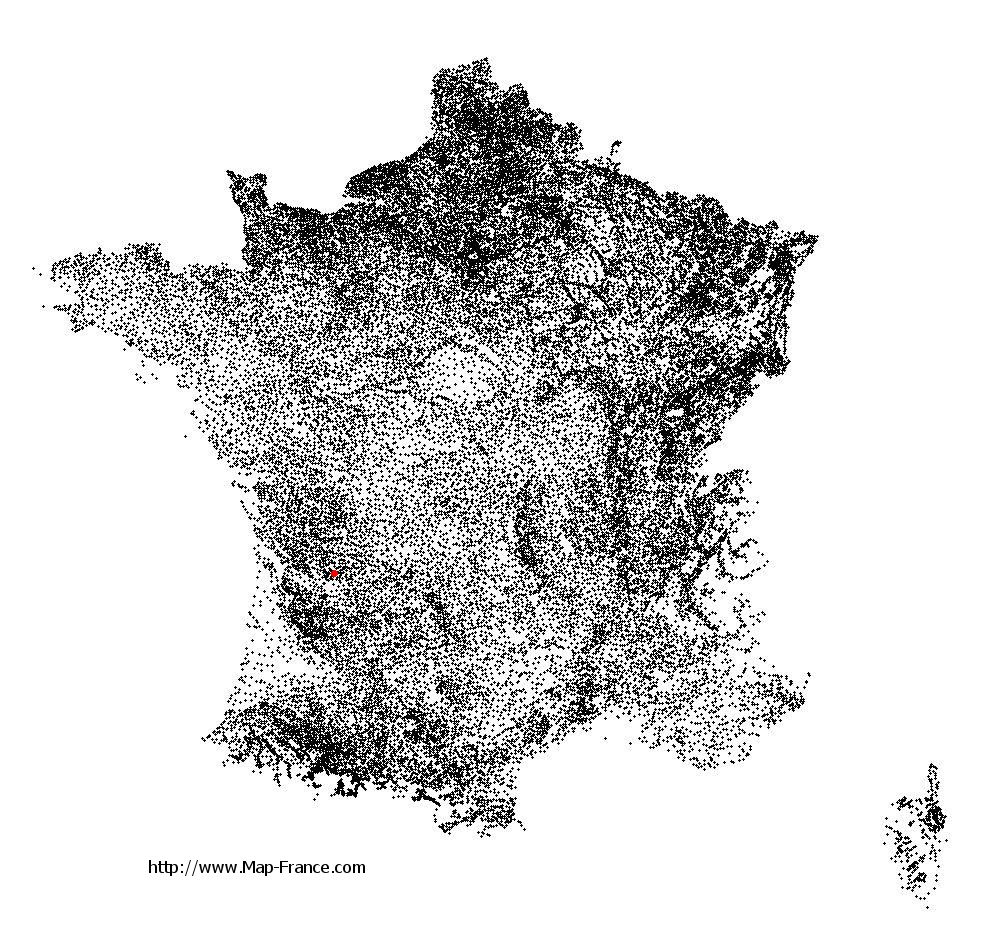
Aubeterre-sur-Dronne on the relief France map in Lambert 93 coordinates
|

See the map of Aubeterre-sur-Dronne in full screen (1000 x 949)
|
At left, here is the location of Aubeterre-sur-Dronne on the relief France map in Lambert 93 coordinates.
Here are the altitudes of Aubeterre-sur-Dronne :
- Town hall altitude of Aubeterre-sur-Dronne is 90 meters
- Minimum altitude of Aubeterre-sur-Dronne is 38 meters
- Maximum altitude of Aubeterre-sur-Dronne is 112 meters
- Medium altitude of Aubeterre-sur-Dronne is 75 meters
Here are the altitudes of Angoulême, prefecture of Charente department:
- Town hall altitude of Angoulême is 86 meters
- Minimum altitude of Angoulême is 25 meters
- Maximum altitude of Angoulême is 130 meters
- Medium altitude of Angoulême is 78 meters
Here are the altitudes of the french biggest cities:
Paris : 33 meters
Marseille : 20 meters
Lyon : 237 meters
Toulouse : 146 meters
Nice : 10 meters
Nantes : 20 meters
Strasbourg : 144 meters
Montpellier : 35 meters
Bordeaux : 16 meters
Lille : 20 meters
Rennes : 35 meters
Reims : 83 meters
Click here for the terrain map of Aubeterre-sur-Dronne in full screen:
Relief map of Aubeterre-sur-Dronne
|
This relief map of Aubeterre-sur-Dronne is reusable and modifiable by making a link to this page of the Map-France.com website or by using the given code :
|
Terrain base map of Aubeterre-sur-Dronne
|

See the terrain base map of Aubeterre-sur-Dronne in full screen (1000 x 949)
|
Small relief base map of Aubeterre-sur-Dronne

|
This base map of Aubeterre-sur-Dronne is reusable and modifiable by making a link to this page of the Map-France.com website or by using the given code :
|
Map of Aubeterre-sur-Dronne with regions and prefectures
|
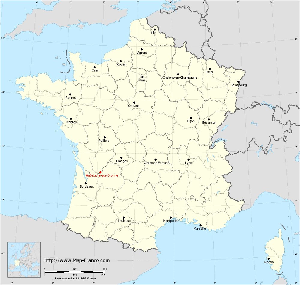
View the map of Aubeterre-sur-Dronne in full screen (1000 x 949)
|
You will find the location of Aubeterre-sur-Dronne on the map of France of regions in Lambert 93 coordinates. The town of Aubeterre-sur-Dronne is located in the department of Charente of the french region Poitou-Charentes.
Geographical sexagesimal coordinates / GPS (WGS84):
Latitude: 45° 16' 18'' North
Longitude: 00° 10' 12'' East
Geographical decimal coordinates :
Latitude: 45.273 degrees (45.273° North)
Longitude: 0.17 degrees (0.17° East)
Lambert 93 coordinates :
X: 4 781 hectometers
Y: 64 676 hectometers
Lambert 2 coordinates :
X: 4 300 hectometers
Y: 20 325 hectometers
Below, the geographical coordinates of Angoulême, prefecture of the Charente department:
Geographical sexagesimal coordinates / GPS (WGS84):
Latitude: 45° 38' 58'' North
Longitude: 00° 09' 34'' East
Geographical decimal coordinates :
Latitude: 45.653 degrees (45.653° North)
Longitude: 0.155 degrees (0.155° East)
Lambert 93 coordinates :
X: 4 788 hectometers
Y: 65 095 hectometers
Lambert 2 coordinates :
X: 4 303 hectometers
Y: 20 745 hectometers
|
This map of Aubeterre-sur-Dronne is reusable and modifiable by making a link to this page of the Map-France.com website or by using the given code :
|
Map of Aubeterre-sur-Dronne with departments and prefectures
|
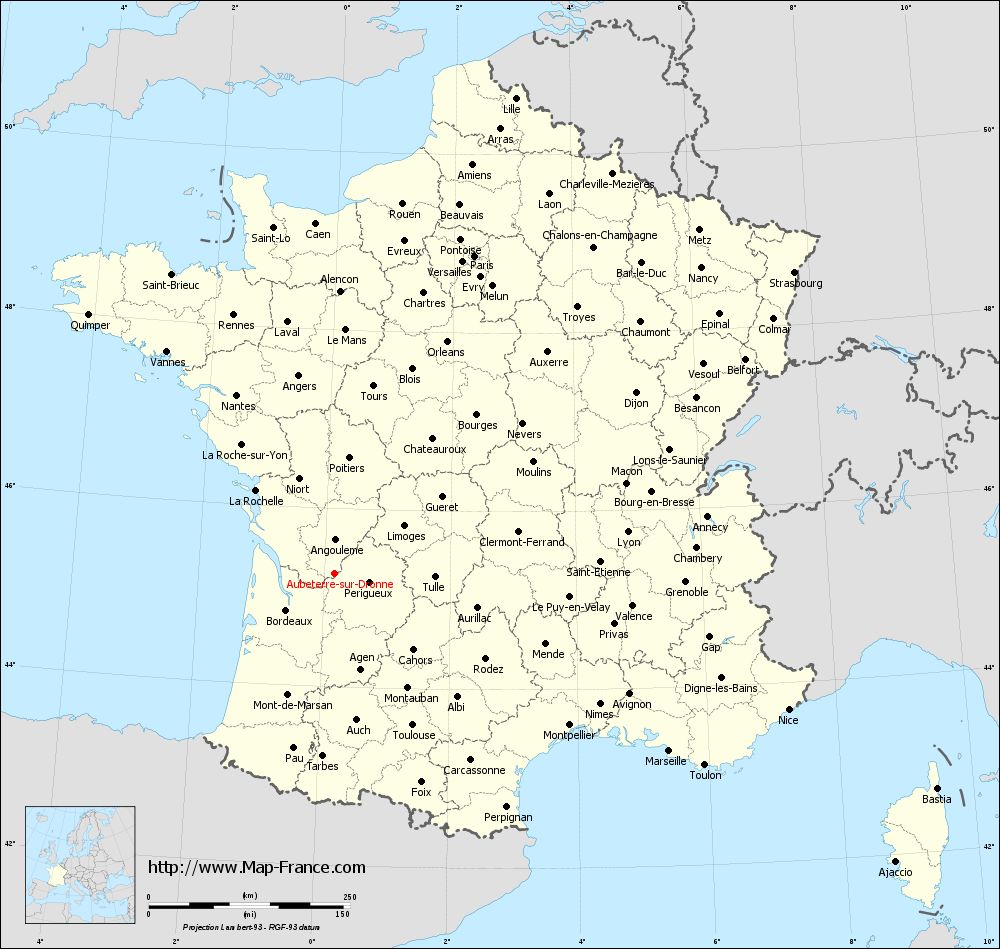
Voir la carte of Aubeterre-sur-Dronne en grand format (1000 x 949)
|
Here is the localization of Aubeterre-sur-Dronne on the France map of departments in Lambert 93 coordinates. The city of Aubeterre-sur-Dronne is shown on the map by a red point.
The town of Aubeterre-sur-Dronne is located in the department of Charente of the french region Poitou-Charentes.
The latitude of Aubeterre-sur-Dronne is 45.273 degrees North.
The longitude of Aubeterre-sur-Dronne is 0.17 degrees East.
Here the distance between Aubeterre-sur-Dronne and the biggest cities of France:
Distances are calculated as the crow flies (orthodromic distance)
Distance between Aubeterre-sur-Dronne and Paris : 431.27 kilometers
Distance between Aubeterre-sur-Dronne and Marseille : 470.14 kilometers
Distance between Aubeterre-sur-Dronne and Lyon : 367.1 kilometers
Distance between Aubeterre-sur-Dronne and Toulouse : 211.78 kilometers
Distance between Aubeterre-sur-Dronne and Nice : 588.22 kilometers
Distance between Aubeterre-sur-Dronne and Nantes : 253.59 kilometers
Distance between Aubeterre-sur-Dronne and Strasbourg : 682.63 kilometers
Distance between Aubeterre-sur-Dronne and Montpellier : 347.08 kilometers
Distance between Aubeterre-sur-Dronne and Bordeaux : 75.5 kilometers
Distance between Aubeterre-sur-Dronne and Lille : 632.16 kilometers
Distance between Aubeterre-sur-Dronne and Rennes : 345.09 kilometers
Distance between Aubeterre-sur-Dronne and Reims : 529.76 kilometers
Clic here to see the map of Aubeterre-sur-Dronne in full screen:
Aubeterre-sur-Dronne on the map of french departments
|
This administrative map of Aubeterre-sur-Dronne is reusable and modifiable by making a link to this page of the Map-France.com website or by using the given code :
|
Administrative base maps of Aubeterre-sur-Dronne
|

See the administrative base map of Aubeterre-sur-Dronne in full screen (1000 x 949)
|
Small administrative base map of Aubeterre-sur-Dronne
|
This base map administrative of Aubeterre-sur-Dronne is reusable and modifiable by making a link to this page of the Map-France.com website or by using the given code :
|
 French Version : http://www.cartesfrance.fr