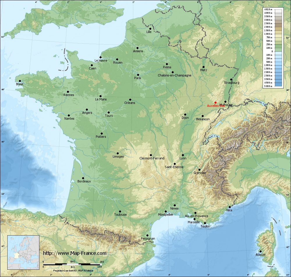
Auxelles-Bas on the relief France map in Lambert 93 coordinates
|
See the map of Auxelles-Bas in full screen (1000 x 949)
|
At left, here is the location of Auxelles-Bas on the relief France map in Lambert 93 coordinates.
Here are the altitudes of Auxelles-Bas :
- Town hall altitude of Auxelles-Bas is 490 meters
- Minimum altitude of Auxelles-Bas is 430 meters
- Maximum altitude of Auxelles-Bas is 621 meters
- Medium altitude of Auxelles-Bas is 526 meters
Here are the altitudes of Belfort, prefecture of Territoire de Belfort department:
- Town hall altitude of Belfort is 361 meters
- Minimum altitude of Belfort is 354 meters
- Maximum altitude of Belfort is 650 meters
- Medium altitude of Belfort is 502 meters
Here are the altitudes of the french biggest cities:
Paris : 33 meters
Marseille : 20 meters
Lyon : 237 meters
Toulouse : 146 meters
Nice : 10 meters
Nantes : 20 meters
Strasbourg : 144 meters
Montpellier : 35 meters
Bordeaux : 16 meters
Lille : 20 meters
Rennes : 35 meters
Reims : 83 meters
Click here for the terrain map of Auxelles-Bas in full screen:
Relief map of Auxelles-Bas
|
This relief map of Auxelles-Bas is reusable and modifiable by making a link to this page of the Map-France.com website or by using the given code :
|
Terrain base map of Auxelles-Bas
|

See the terrain base map of Auxelles-Bas in full screen (1000 x 949)
|
Small relief base map of Auxelles-Bas

|
This base map of Auxelles-Bas is reusable and modifiable by making a link to this page of the Map-France.com website or by using the given code :
|
Map of Auxelles-Bas with regions and prefectures
|
View the map of Auxelles-Bas in full screen (1000 x 949)
|
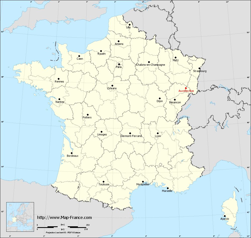
You will find the location of Auxelles-Bas on the map of France of regions in Lambert 93 coordinates. The town of Auxelles-Bas is located in the department of Territoire de Belfort of the french region Franche-Comté.
Geographical sexagesimal coordinates / GPS (WGS84):
Latitude: 47° 44' 03'' North
Longitude: 06° 46' 50'' East
Geographical decimal coordinates :
Latitude: 47.735 degrees (47.735° North)
Longitude: 6.782 degrees (6.782° East)
Lambert 93 coordinates :
X: 9 833 hectometers
Y: 67 439 hectometers
Lambert 2 coordinates :
X: 9 332 hectometers
Y: 23 133 hectometers
Below, the geographical coordinates of Belfort, prefecture of the Territoire de Belfort department:
Geographical sexagesimal coordinates / GPS (WGS84):
Latitude: 47° 38' 28'' North
Longitude: 06° 50' 58'' East
Geographical decimal coordinates :
Latitude: 47.642 degrees (47.642° North)
Longitude: 6.856 degrees (6.856° East)
Lambert 93 coordinates :
X: 9 889 hectometers
Y: 67 338 hectometers
Lambert 2 coordinates :
X: 9 389 hectometers
Y: 23 032 hectometers
|
This map of Auxelles-Bas is reusable and modifiable by making a link to this page of the Map-France.com website or by using the given code :
|
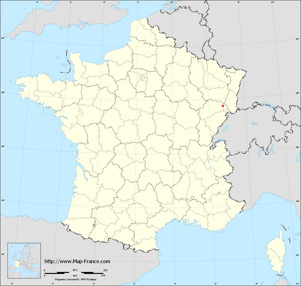
Map of Auxelles-Bas with departments and prefectures
|
Voir la carte of Auxelles-Bas en grand format (1000 x 949)
|
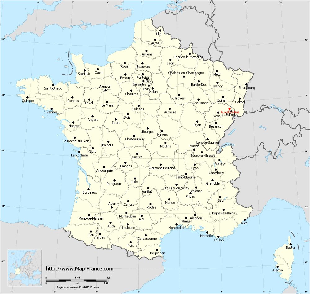
Here is the localization of Auxelles-Bas on the France map of departments in Lambert 93 coordinates. The city of Auxelles-Bas is shown on the map by a red point.
The town of Auxelles-Bas is located in the department of Territoire de Belfort of the french region Franche-Comté.
The latitude of Auxelles-Bas is 47.735 degrees North.
The longitude of Auxelles-Bas is 6.782 degrees East.
Here the distance between Auxelles-Bas and the biggest cities of France:
Distances are calculated as the crow flies (orthodromic distance)
Distance between Auxelles-Bas and Paris : 350.87 kilometers
Distance between Auxelles-Bas and Marseille : 504.59 kilometers
Distance between Auxelles-Bas and Lyon : 264.77 kilometers
Distance between Auxelles-Bas and Toulouse : 618.08 kilometers
Distance between Auxelles-Bas and Nice : 449.15 kilometers
Distance between Auxelles-Bas and Nantes : 628.27 kilometers
Distance between Auxelles-Bas and Strasbourg : 118.85 kilometers
Distance between Auxelles-Bas and Montpellier : 510.88 kilometers
Distance between Auxelles-Bas and Bordeaux : 649.41 kilometers
Distance between Auxelles-Bas and Lille : 420.6 kilometers
Distance between Auxelles-Bas and Rennes : 631.1 kilometers
Distance between Auxelles-Bas and Reims : 263.88 kilometers
Clic here to see the map of Auxelles-Bas in full screen:
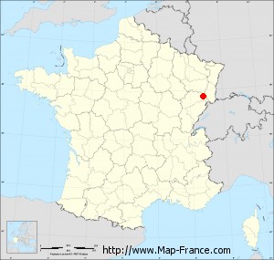
Auxelles-Bas on the map of french departments
|
This administrative map of Auxelles-Bas is reusable and modifiable by making a link to this page of the Map-France.com website or by using the given code :
|
Administrative base maps of Auxelles-Bas
|
See the administrative base map of Auxelles-Bas in full screen (1000 x 949)
|
Small administrative base map of Auxelles-Bas
|
This base map administrative of Auxelles-Bas is reusable and modifiable by making a link to this page of the Map-France.com website or by using the given code :
|
 French Version : http://www.cartesfrance.fr