Map of France

Auxelles-Haut photos


Find a town, a zip code,
a department, a region... in France
I like Map-France.com !


Auxelles-Haut pictures


Here are the photos of the town of Auxelles-Haut and nearby towns. Auxelles-Haut is located in the department of Territoire de Belfort in the region of Franche-Comté. You will find the satellite map of Auxelles-Haut under these photos.

To see photos of nearby towns of Auxelles-Haut, you can try the following links :
   - Pictures of Auxelles-Bas (90200) : town located at 1.54 km
   - Pictures of Plancher-les-Mines (70290) : town located at 2.73 km
   - Pictures of Plancher-Bas (70290) : town located at 3.74 km
   - Pictures of Giromagny (90200) : town located at 4.05 km
   - Pictures of Lepuix (90200) : town located at 4.08 km
   - Pictures of Belfahy (70290) : town located at 5.09 km
   - Pictures of Vescemont (90200) : town located at 5.79 km
   - Pictures of Lachapelle-sous-Chaux (90300) : town located at 5.87 km
   - Pictures of Chaux (90330) : town located at 6.25 km
   - Pictures of Rougegoutte (90200) : town located at 6.28 km
   - Pictures of Fresse (70270) : town located at 6.36 km
   - Pictures of Errevet (70400) : town located at 6.86 km

 - photos of the department prefecture of Territoire de Belfort : photos of Belfort
 - pictures of others cities of Territoire de Belfort : Territoire de Belfort


To see Auxelles-Haut from the sky, here is the satellite map of the town of Auxelles-Haut : Auxelles-Haut map.

I like Auxelles-Haut !


Photos of the town of Auxelles-Haut

These photos taken near the town of Auxelles-Haut can be shown in full screen clicking on the thumbnails. Photos are copyrighted by their owners.

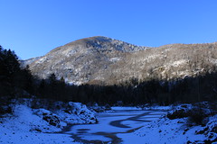
Plaine_et_Monts - Photo of Auxelles-Haut
Plaine_et_Monts

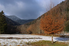
La Fennematt - Photo of Auxelles-Haut
La Fennematt

Man New Lion-s City 12 n°25  -  Belfort, OPTYMO - Photo of Auxelles-Haut
Man New Lion-s City 12 n°25 - Belfort, OPTYMO

Pyramides - Photo of Auxelles-Haut
Pyramides

Puit_de_mine - Photo of Auxelles-Haut
Puit_de_mine

Damier - Photo of Auxelles-Haut
Damier

Démarcations - Photo of Auxelles-Haut
Démarcations

Herbes_blanches - Photo of Auxelles-Haut
Herbes_blanches

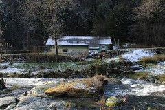
Maison_enneigée - Photo of Auxelles-Haut
Maison_enneigée

Symétrie - Photo of Auxelles-Haut
Symétrie

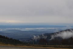
Plaine_embrumée - Photo of Auxelles-Haut
Plaine_embrumée

2020 Tour de France Stage 20 - Photo of Auxelles-Haut
2020 Tour de France Stage 20

2020 Tour de France Stage 20 - Photo of Auxelles-Haut
2020 Tour de France Stage 20

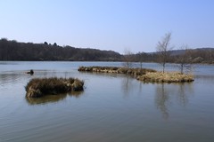
Quiétude - Photo of Auxelles-Haut
Quiétude


Auxelles-Haut from the sky


Old photos of the town of Auxelles-Haut

These photos taken near the town of Auxelles-Haut can be shown in full screen clicking on the thumbnails. Photos are copyrighted by their owners.


Other maps, hotels and towns in france


Find another town, zip code, department, region, ...


Quick links Auxelles-Haut :


Back to the menus Map of France :


Make a link to this page of Auxelles-Haut with the following code :


Map of France | Regions | Departments | Cities | Partners | Terms | Contact