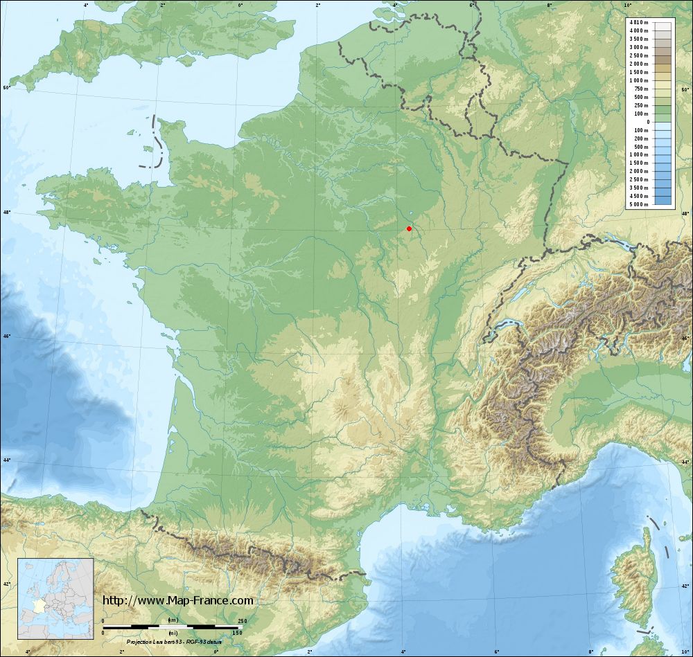
Avirey-Lingey on the relief France map in Lambert 93 coordinates
|

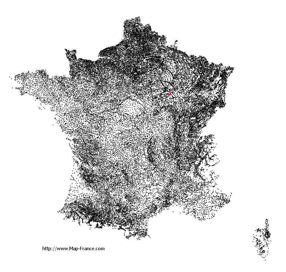
See the map of Avirey-Lingey in full screen (1000 x 949)
|
At left, here is the location of Avirey-Lingey on the relief France map in Lambert 93 coordinates.
Here are the altitudes of Avirey-Lingey :
- Town hall altitude of Avirey-Lingey is 200 meters
- Minimum altitude of Avirey-Lingey is 185 meters
- Maximum altitude of Avirey-Lingey is 309 meters
- Medium altitude of Avirey-Lingey is 247 meters
Here are the altitudes of Troyes, prefecture of Aube department:
- Town hall altitude of Troyes is 107 meters
- Minimum altitude of Troyes is 100 meters
- Maximum altitude of Troyes is 126 meters
- Medium altitude of Troyes is 113 meters
Here are the altitudes of the french biggest cities:
Paris : 33 meters
Marseille : 20 meters
Lyon : 237 meters
Toulouse : 146 meters
Nice : 10 meters
Nantes : 20 meters
Strasbourg : 144 meters
Montpellier : 35 meters
Bordeaux : 16 meters
Lille : 20 meters
Rennes : 35 meters
Reims : 83 meters
Click here for the terrain map of Avirey-Lingey in full screen:
Relief map of Avirey-Lingey
|
This relief map of Avirey-Lingey is reusable and modifiable by making a link to this page of the Map-France.com website or by using the given code :
|
Terrain base map of Avirey-Lingey
|
See the terrain base map of Avirey-Lingey in full screen (1000 x 949)
|
Small relief base map of Avirey-Lingey

|
This base map of Avirey-Lingey is reusable and modifiable by making a link to this page of the Map-France.com website or by using the given code :
|
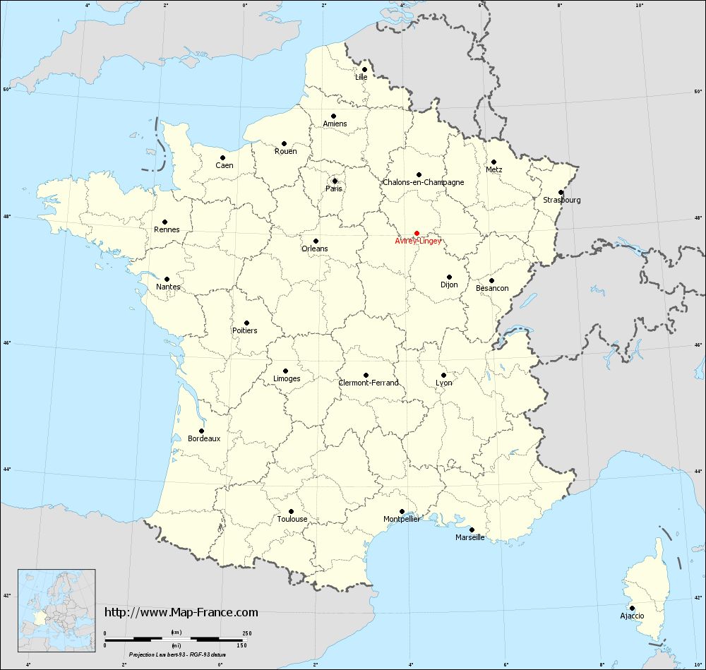
Map of Avirey-Lingey with regions and prefectures
|
View the map of Avirey-Lingey in full screen (1000 x 949)
|
You will find the location of Avirey-Lingey on the map of France of regions in Lambert 93 coordinates. The town of Avirey-Lingey is located in the department of Aube of the french region Champagne-Ardenne.
Geographical sexagesimal coordinates / GPS (WGS84):
Latitude: 48° 01' 33'' North
Longitude: 04° 18' 01'' East
Geographical decimal coordinates :
Latitude: 48.024 degrees (48.024° North)
Longitude: 4.299 degrees (4.299° East)
Lambert 93 coordinates :
X: 7 969 hectometers
Y: 67 703 hectometers
Lambert 2 coordinates :
X: 7 465 hectometers
Y: 23 381 hectometers
Below, the geographical coordinates of Troyes, prefecture of the Aube department:
Geographical sexagesimal coordinates / GPS (WGS84):
Latitude: 48° 17' 56'' North
Longitude: 04° 04' 41'' East
Geographical decimal coordinates :
Latitude: 48.296 degrees (48.296° North)
Longitude: 4.072 degrees (4.072° East)
Lambert 93 coordinates :
X: 7 800 hectometers
Y: 68 004 hectometers
Lambert 2 coordinates :
X: 7 292 hectometers
Y: 23 681 hectometers
|
This map of Avirey-Lingey is reusable and modifiable by making a link to this page of the Map-France.com website or by using the given code :
|
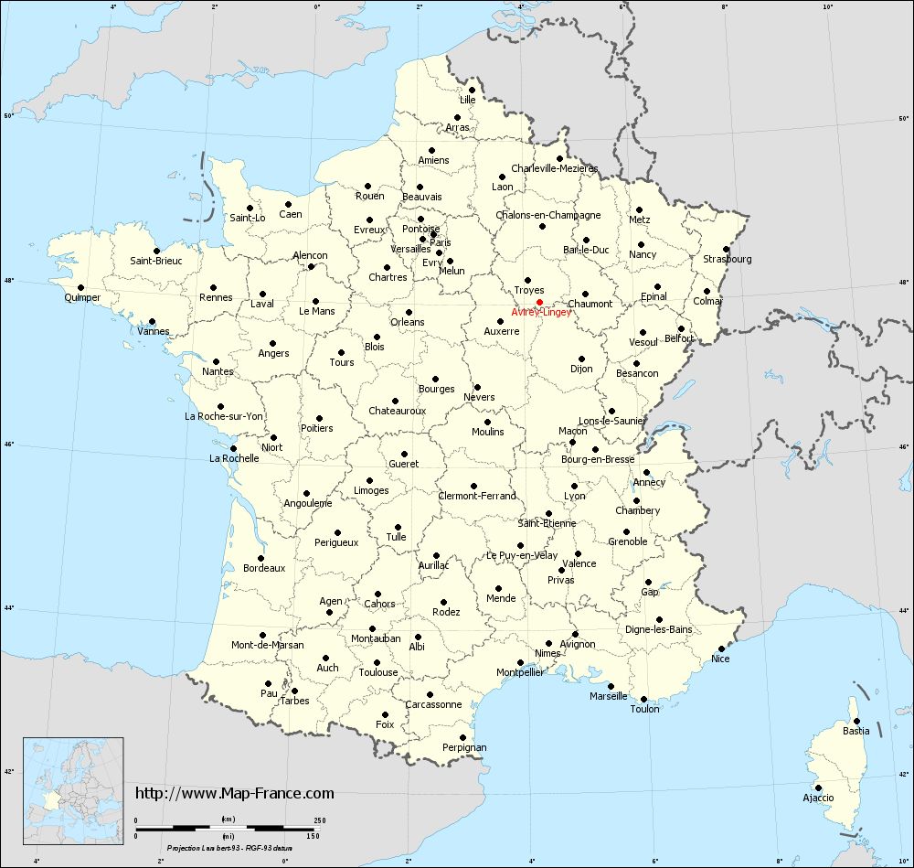
Map of Avirey-Lingey with departments and prefectures
|
Voir la carte of Avirey-Lingey en grand format (1000 x 949)
|
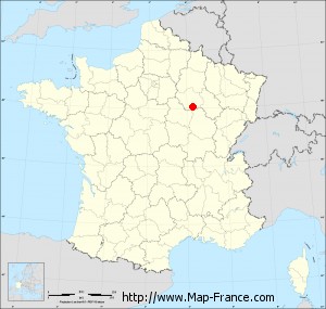
Here is the localization of Avirey-Lingey on the France map of departments in Lambert 93 coordinates. The city of Avirey-Lingey is shown on the map by a red point.
The town of Avirey-Lingey is located in the department of Aube of the french region Champagne-Ardenne.
The latitude of Avirey-Lingey is 48.024 degrees North.
The longitude of Avirey-Lingey is 4.299 degrees East.
Here the distance between Avirey-Lingey and the biggest cities of France:
Distances are calculated as the crow flies (orthodromic distance)
Distance between Avirey-Lingey and Paris : 171.34 kilometers
Distance between Avirey-Lingey and Marseille : 532.06 kilometers
Distance between Avirey-Lingey and Lyon : 254.85 kilometers
Distance between Avirey-Lingey and Toulouse : 538.69 kilometers
Distance between Avirey-Lingey and Nice : 531.63 kilometers
Distance between Avirey-Lingey and Nantes : 447.22 kilometers
Distance between Avirey-Lingey and Strasbourg : 262.93 kilometers
Distance between Avirey-Lingey and Montpellier : 491.66 kilometers
Distance between Avirey-Lingey and Bordeaux : 513.82 kilometers
Distance between Avirey-Lingey and Lille : 303.22 kilometers
Distance between Avirey-Lingey and Rennes : 443.94 kilometers
Distance between Avirey-Lingey and Reims : 138.49 kilometers
Clic here to see the map of Avirey-Lingey in full screen:
Avirey-Lingey on the map of french departments
|
This administrative map of Avirey-Lingey is reusable and modifiable by making a link to this page of the Map-France.com website or by using the given code :
|
Administrative base maps of Avirey-Lingey
|

See the administrative base map of Avirey-Lingey in full screen (1000 x 949)
|
Small administrative base map of Avirey-Lingey
|
This base map administrative of Avirey-Lingey is reusable and modifiable by making a link to this page of the Map-France.com website or by using the given code :
|
 French Version : http://www.cartesfrance.fr