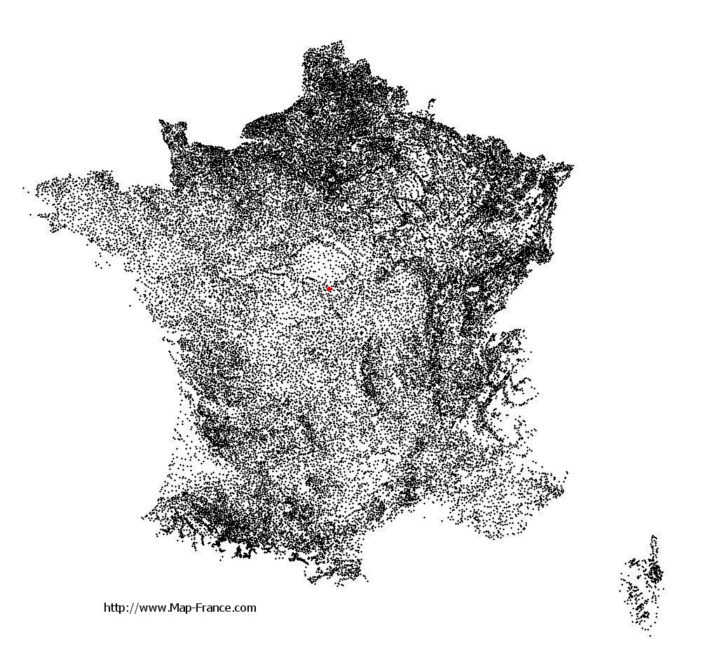
Berry-Bouy on the relief France map in Lambert 93 coordinates
|

See the map of Berry-Bouy in full screen (1000 x 949)
|
At left, here is the location of Berry-Bouy on the relief France map in Lambert 93 coordinates.
Here are the altitudes of Berry-Bouy :
- Town hall altitude of Berry-Bouy is 135 meters
- Minimum altitude of Berry-Bouy is 113 meters
- Maximum altitude of Berry-Bouy is 162 meters
- Medium altitude of Berry-Bouy is 138 meters
Here are the altitudes of Bourges, prefecture of Cher department:
- Town hall altitude of Bourges is 130 meters
- Minimum altitude of Bourges is 120 meters
- Maximum altitude of Bourges is 169 meters
- Medium altitude of Bourges is 145 meters
Here are the altitudes of the french biggest cities:
Paris : 33 meters
Marseille : 20 meters
Lyon : 237 meters
Toulouse : 146 meters
Nice : 10 meters
Nantes : 20 meters
Strasbourg : 144 meters
Montpellier : 35 meters
Bordeaux : 16 meters
Lille : 20 meters
Rennes : 35 meters
Reims : 83 meters
Click here for the terrain map of Berry-Bouy in full screen:
Relief map of Berry-Bouy
|
This relief map of Berry-Bouy is reusable and modifiable by making a link to this page of the Map-France.com website or by using the given code :
|
Terrain base map of Berry-Bouy
|

See the terrain base map of Berry-Bouy in full screen (1000 x 949)
|
Small relief base map of Berry-Bouy

|
This base map of Berry-Bouy is reusable and modifiable by making a link to this page of the Map-France.com website or by using the given code :
|
Map of Berry-Bouy with regions and prefectures
|
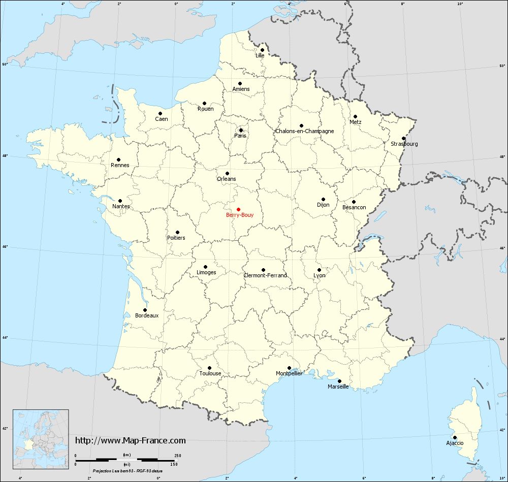
View the map of Berry-Bouy in full screen (1000 x 949)
|
You will find the location of Berry-Bouy on the map of France of regions in Lambert 93 coordinates. The town of Berry-Bouy is located in the department of Cher of the french region Centre.
Geographical sexagesimal coordinates / GPS (WGS84):
Latitude: 47° 06' 35'' North
Longitude: 02° 17' 22'' East
Geographical decimal coordinates :
Latitude: 47.11 degrees (47.11° North)
Longitude: 2.291 degrees (2.291° East)
Lambert 93 coordinates :
X: 6 461 hectometers
Y: 66 680 hectometers
Lambert 2 coordinates :
X: 5 964 hectometers
Y: 22 344 hectometers
Below, the geographical coordinates of Bourges, prefecture of the Cher department:
Geographical sexagesimal coordinates / GPS (WGS84):
Latitude: 47° 05' 01'' North
Longitude: 02° 23' 44'' East
Geographical decimal coordinates :
Latitude: 47.08 degrees (47.08° North)
Longitude: 2.397 degrees (2.397° East)
Lambert 93 coordinates :
X: 6 541 hectometers
Y: 66 650 hectometers
Lambert 2 coordinates :
X: 6 045 hectometers
Y: 22 315 hectometers
|
This map of Berry-Bouy is reusable and modifiable by making a link to this page of the Map-France.com website or by using the given code :
|
Map of Berry-Bouy with departments and prefectures
|
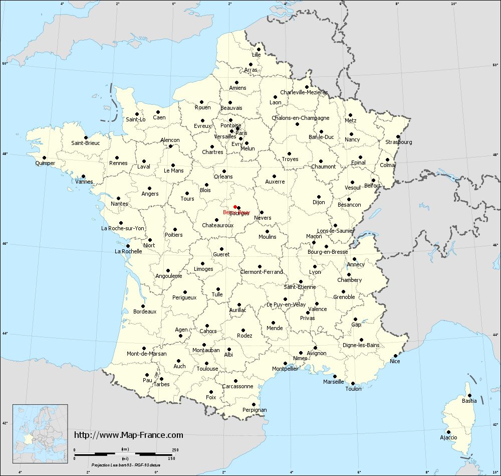
Voir la carte of Berry-Bouy en grand format (1000 x 949)
|
Here is the localization of Berry-Bouy on the France map of departments in Lambert 93 coordinates. The city of Berry-Bouy is shown on the map by a red point.
The town of Berry-Bouy is located in the department of Cher of the french region Centre.
The latitude of Berry-Bouy is 47.11 degrees North.
The longitude of Berry-Bouy is 2.291 degrees East.
Here the distance between Berry-Bouy and the biggest cities of France:
Distances are calculated as the crow flies (orthodromic distance)
Distance between Berry-Bouy and Paris : 194.53 kilometers
Distance between Berry-Bouy and Marseille : 488.45 kilometers
Distance between Berry-Bouy and Lyon : 245.86 kilometers
Distance between Berry-Bouy and Toulouse : 395.49 kilometers
Distance between Berry-Bouy and Nice : 541.48 kilometers
Distance between Berry-Bouy and Nantes : 290.65 kilometers
Distance between Berry-Bouy and Strasbourg : 439.05 kilometers
Distance between Berry-Bouy and Montpellier : 408.17 kilometers
Distance between Berry-Bouy and Bordeaux : 335.24 kilometers
Distance between Berry-Bouy and Lille : 394.71 kilometers
Distance between Berry-Bouy and Rennes : 317.39 kilometers
Distance between Berry-Bouy and Reims : 271.22 kilometers
Clic here to see the map of Berry-Bouy in full screen:
Berry-Bouy on the map of french departments
|
This administrative map of Berry-Bouy is reusable and modifiable by making a link to this page of the Map-France.com website or by using the given code :
|
Administrative base maps of Berry-Bouy
|

See the administrative base map of Berry-Bouy in full screen (1000 x 949)
|
Small administrative base map of Berry-Bouy
|
This base map administrative of Berry-Bouy is reusable and modifiable by making a link to this page of the Map-France.com website or by using the given code :
|
 French Version : http://www.cartesfrance.fr