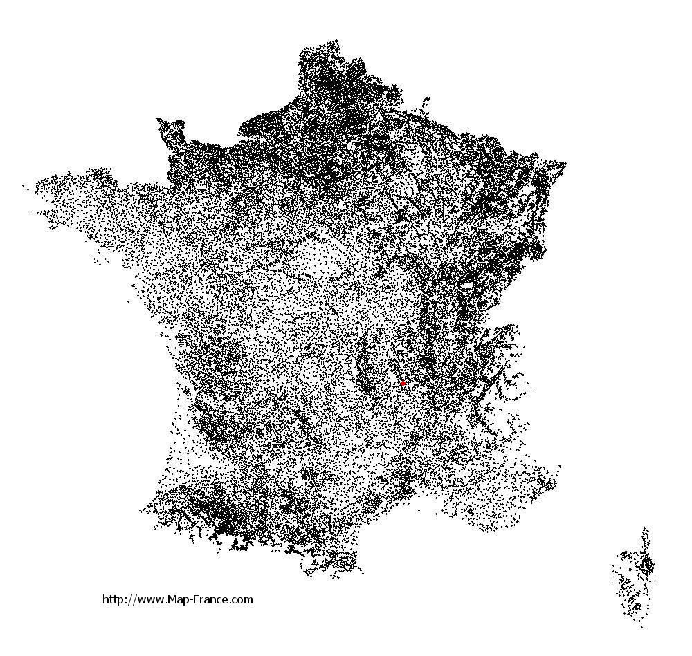
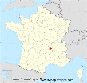
Map of Boisset-Saint-Priest with regions and prefectures
|
View the map of Boisset-Saint-Priest in full screen (1000 x 949)
|
You will find the location of Boisset-Saint-Priest on the map of France of regions in Lambert 93 coordinates. The town of Boisset-Saint-Priest is located in the department of Loire of the french region Rhône-Alpes.
Geographical sexagesimal coordinates / GPS (WGS84):
Latitude: 45° 30' 47'' North
Longitude: 04° 06' 16'' East
Geographical decimal coordinates :
Latitude: 45.512 degrees (45.512° North)
Longitude: 4.103 degrees (4.103° East)
Lambert 93 coordinates :
X: 7 862 hectometers
Y: 64 910 hectometers
Lambert 2 coordinates :
X: 7 381 hectometers
Y: 20 585 hectometers
Below, the geographical coordinates of Saint-Étienne, prefecture of the Loire department:
Geographical sexagesimal coordinates / GPS (WGS84):
Latitude: 45° 26' 02'' North
Longitude: 04° 23' 23'' East
Geographical decimal coordinates :
Latitude: 45.441 degrees (45.441° North)
Longitude: 4.39 degrees (4.39° East)
Lambert 93 coordinates :
X: 8 086 hectometers
Y: 64 825 hectometers
Lambert 2 coordinates :
X: 7 607 hectometers
Y: 20 502 hectometers
|
This map of Boisset-Saint-Priest is reusable and modifiable by making a link to this page of the Map-France.com website or by using the given code :
|
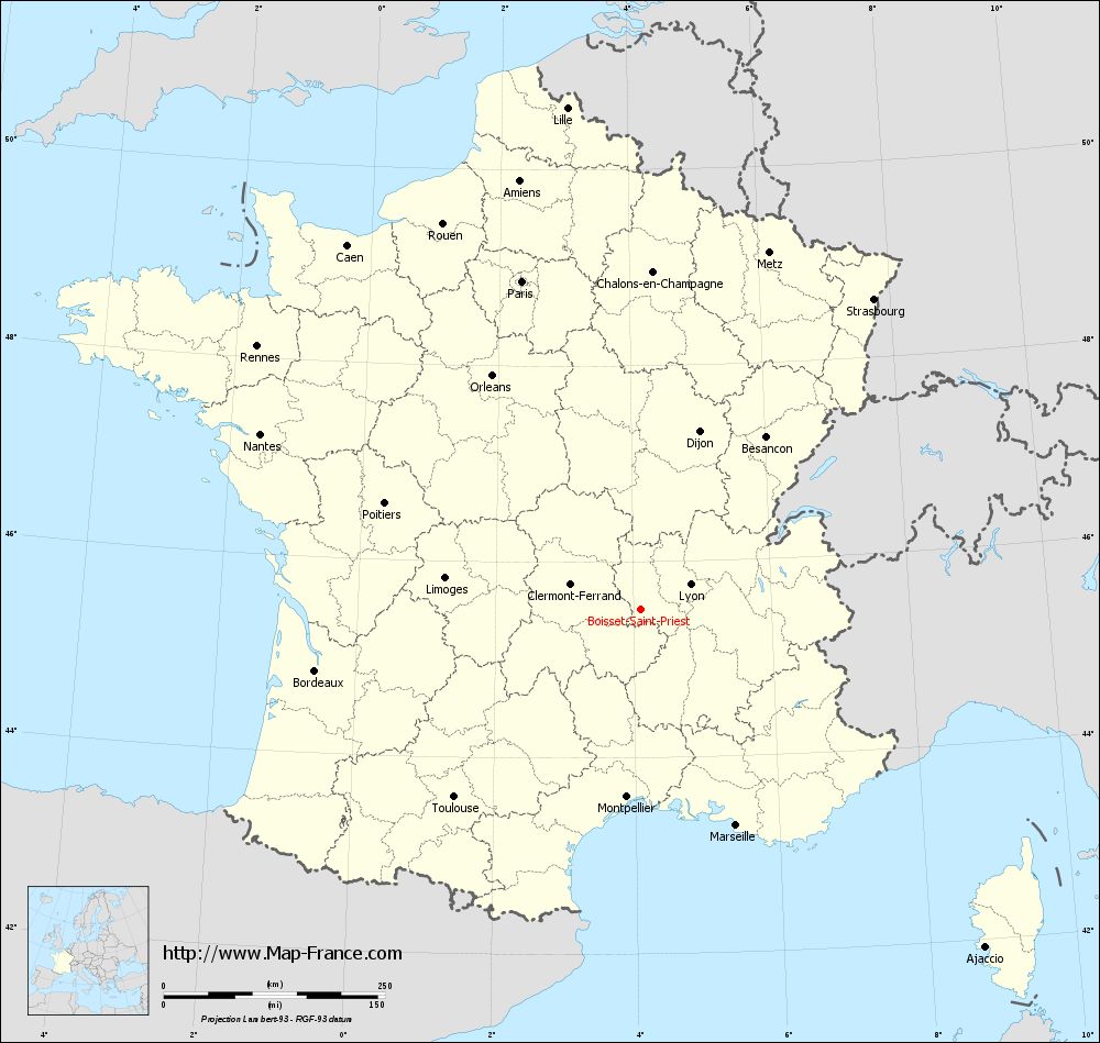
Map of Boisset-Saint-Priest with departments and prefectures
|
Voir la carte of Boisset-Saint-Priest en grand format (1000 x 949)
|
Here is the localization of Boisset-Saint-Priest on the France map of departments in Lambert 93 coordinates. The city of Boisset-Saint-Priest is shown on the map by a red point.
The town of Boisset-Saint-Priest is located in the department of Loire of the french region Rhône-Alpes.
The latitude of Boisset-Saint-Priest is 45.512 degrees North.
The longitude of Boisset-Saint-Priest is 4.103 degrees East.
Here the distance between Boisset-Saint-Priest and the biggest cities of France:
Distances are calculated as the crow flies (orthodromic distance)
Distance between Boisset-Saint-Priest and Paris : 395.04 kilometers
Distance between Boisset-Saint-Priest and Marseille : 266.65 kilometers
Distance between Boisset-Saint-Priest and Lyon : 63.16 kilometers
Distance between Boisset-Saint-Priest and Toulouse : 298.68 kilometers
Distance between Boisset-Saint-Priest and Nice : 320.39 kilometers
Distance between Boisset-Saint-Priest and Nantes : 473.27 kilometers
Distance between Boisset-Saint-Priest and Strasbourg : 439.23 kilometers
Distance between Boisset-Saint-Priest and Montpellier : 212.18 kilometers
Distance between Boisset-Saint-Priest and Bordeaux : 373.8 kilometers
Distance between Boisset-Saint-Priest and Lille : 573.86 kilometers
Distance between Boisset-Saint-Priest and Rennes : 525.74 kilometers
Distance between Boisset-Saint-Priest and Reims : 416.28 kilometers
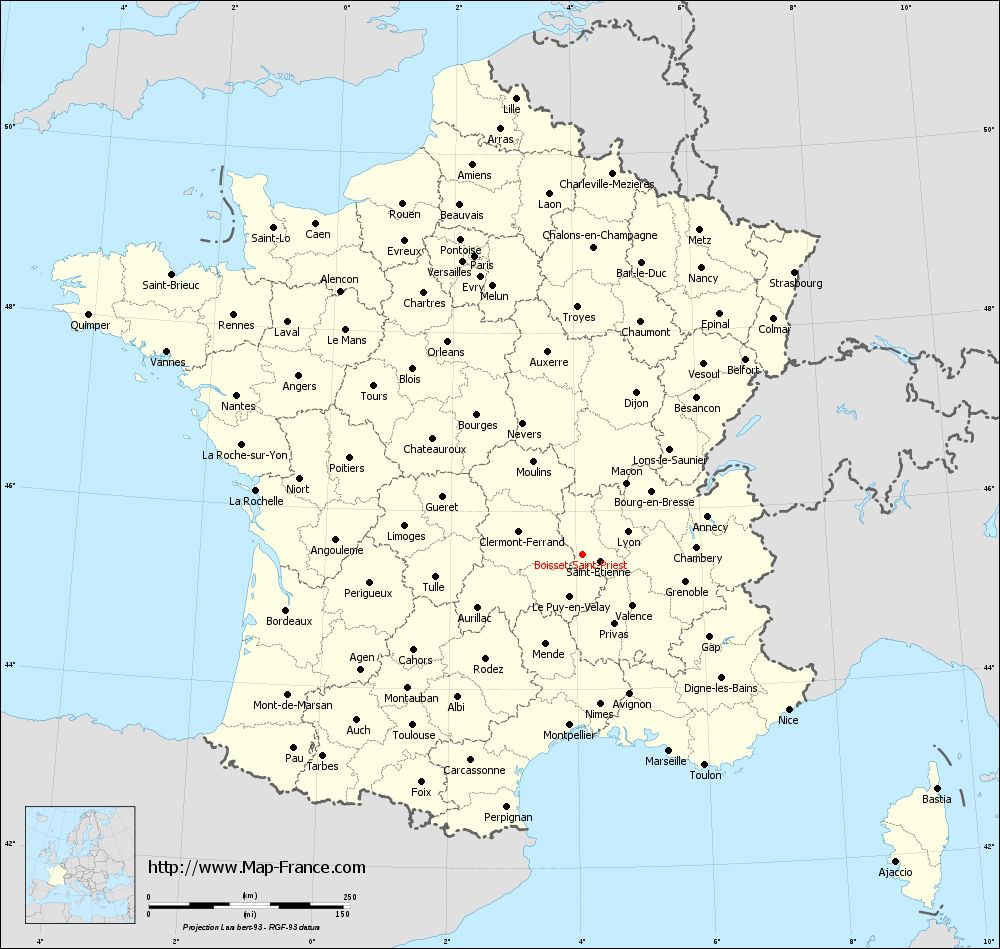
Clic here to see the map of Boisset-Saint-Priest in full screen:
Boisset-Saint-Priest on the map of french departments
|
This administrative map of Boisset-Saint-Priest is reusable and modifiable by making a link to this page of the Map-France.com website or by using the given code :
|
Administrative base maps of Boisset-Saint-Priest
|
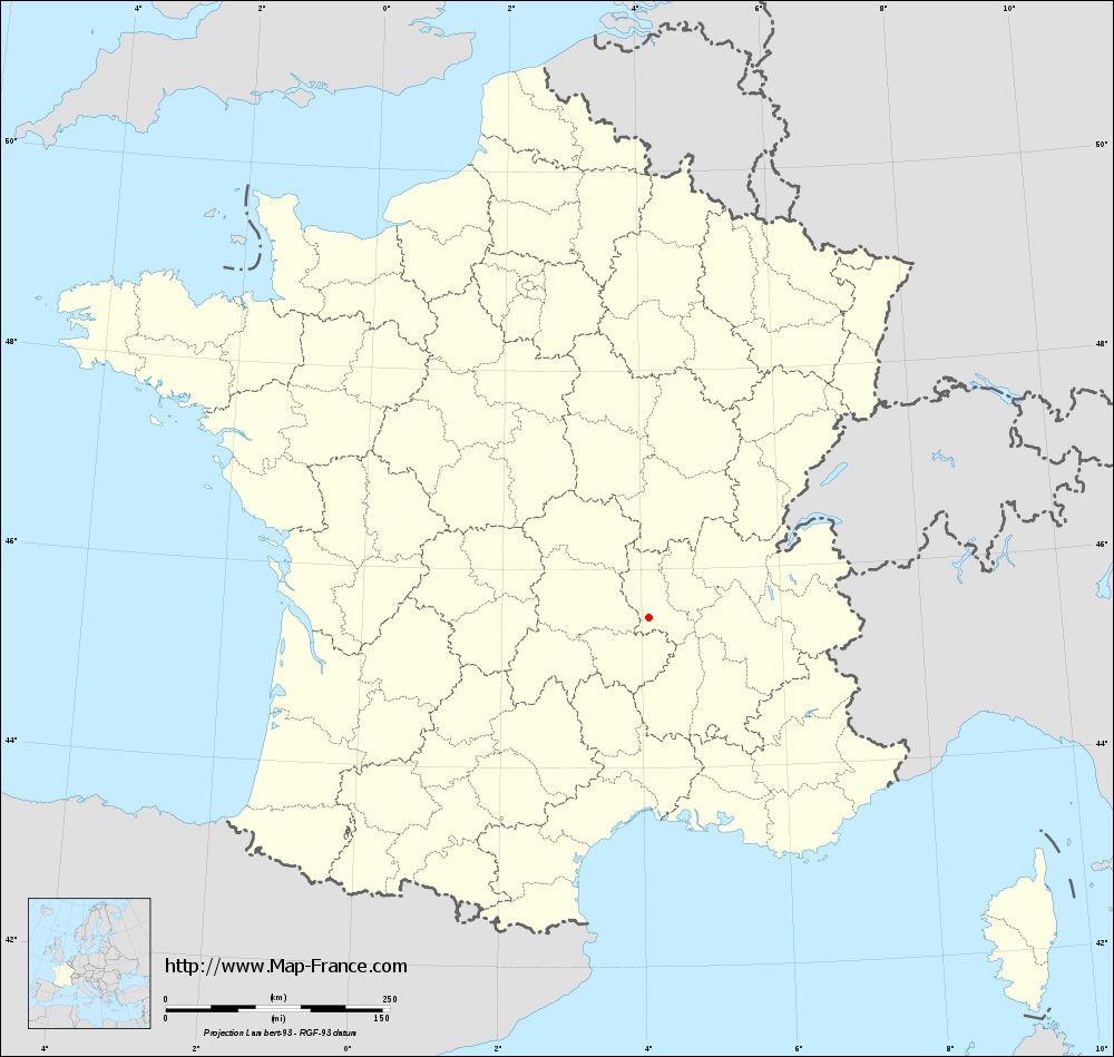
See the administrative base map of Boisset-Saint-Priest in full screen (1000 x 949)
|
Small administrative base map of Boisset-Saint-Priest
|
This base map administrative of Boisset-Saint-Priest is reusable and modifiable by making a link to this page of the Map-France.com website or by using the given code :
|
 French Version : http://www.cartesfrance.fr