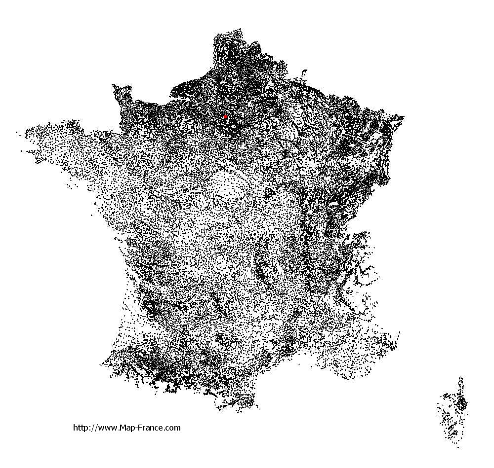
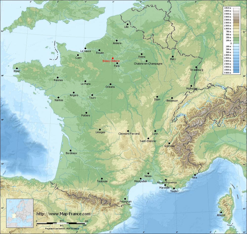
Boissy-l'Aillerie on the relief France map in Lambert 93 coordinates
|
See the map of Boissy-l'Aillerie in full screen (1000 x 949)
|
At left, here is the location of Boissy-l'Aillerie on the relief France map in Lambert 93 coordinates.
Here are the altitudes of Boissy-l'Aillerie :
- Town hall altitude of Boissy-l'Aillerie is 60 meters
- Minimum altitude of Boissy-l'Aillerie is 37 meters
- Maximum altitude of Boissy-l'Aillerie is 99 meters
- Medium altitude of Boissy-l'Aillerie is 68 meters
Here are the altitudes of Pontoise, prefecture of Val-d'Oise department:
- Town hall altitude of Pontoise is 62 meters
- Minimum altitude of Pontoise is 22 meters
- Maximum altitude of Pontoise is 87 meters
- Medium altitude of Pontoise is 55 meters
Here are the altitudes of the french biggest cities:
Paris : 33 meters
Marseille : 20 meters
Lyon : 237 meters
Toulouse : 146 meters
Nice : 10 meters
Nantes : 20 meters
Strasbourg : 144 meters
Montpellier : 35 meters
Bordeaux : 16 meters
Lille : 20 meters
Rennes : 35 meters
Reims : 83 meters
Click here for the terrain map of Boissy-l'Aillerie in full screen:
Relief map of Boissy-l%27Aillerie
|
This relief map of Boissy-l'Aillerie is reusable and modifiable by making a link to this page of the Map-France.com website or by using the given code :
|
Terrain base map of Boissy-l'Aillerie
|

See the terrain base map of Boissy-l'Aillerie in full screen (1000 x 949)
|
Small relief base map of Boissy-l'Aillerie

|
This base map of Boissy-l'Aillerie is reusable and modifiable by making a link to this page of the Map-France.com website or by using the given code :
|
Map of Boissy-l'Aillerie with regions and prefectures
|
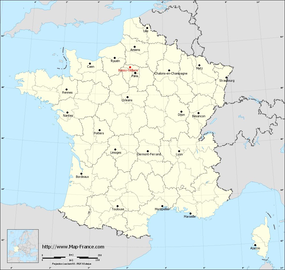
View the map of Boissy-l'Aillerie in full screen (1000 x 949)
|
You will find the location of Boissy-l'Aillerie on the map of France of regions in Lambert 93 coordinates. The town of Boissy-l'Aillerie is located in the department of Val-d'Oise of the french region Île-de-France.
Geographical sexagesimal coordinates / GPS (WGS84):
Latitude: 49° 04' 42'' North
Longitude: 02° 01' 52'' East
Geographical decimal coordinates :
Latitude: 49.077 degrees (49.077° North)
Longitude: 2.032 degrees (2.032° East)
Lambert 93 coordinates :
X: 6 292 hectometers
Y: 68 869 hectometers
Lambert 2 coordinates :
X: 5 777 hectometers
Y: 24 534 hectometers
Below, the geographical coordinates of Pontoise, prefecture of the Val-d'Oise department:
Geographical sexagesimal coordinates / GPS (WGS84):
Latitude: 49° 03' 03'' North
Longitude: 02° 06' 03'' East
Geographical decimal coordinates :
Latitude: 49.052 degrees (49.052° North)
Longitude: 2.094 degrees (2.094° East)
Lambert 93 coordinates :
X: 6 343 hectometers
Y: 68 838 hectometers
Lambert 2 coordinates :
X: 5 828 hectometers
Y: 24 503 hectometers
|
This map of Boissy-l'Aillerie is reusable and modifiable by making a link to this page of the Map-France.com website or by using the given code :
|
Map of Boissy-l'Aillerie with departments and prefectures
|
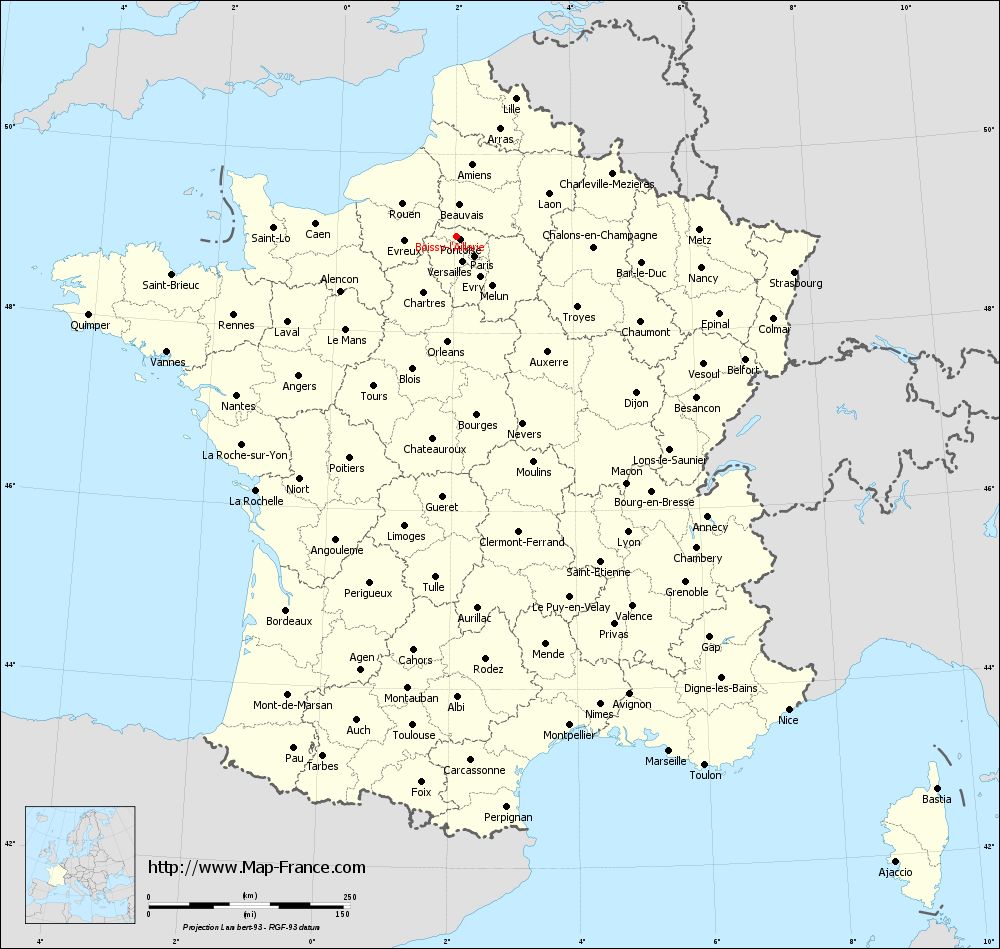
Voir la carte of Boissy-l'Aillerie en grand format (1000 x 949)
|
Here is the localization of Boissy-l'Aillerie on the France map of departments in Lambert 93 coordinates. The city of Boissy-l'Aillerie is shown on the map by a red point.
The town of Boissy-l'Aillerie is located in the department of Val-d'Oise of the french region Île-de-France.
The latitude of Boissy-l'Aillerie is 49.077 degrees North.
The longitude of Boissy-l'Aillerie is 2.032 degrees East.
Here the distance between Boissy-l'Aillerie and the biggest cities of France:
Distances are calculated as the crow flies (orthodromic distance)
Distance between Boissy-l'Aillerie and Paris : 33.21 kilometers
Distance between Boissy-l'Aillerie and Marseille : 692.27 kilometers
Distance between Boissy-l'Aillerie and Lyon : 424.51 kilometers
Distance between Boissy-l'Aillerie and Toulouse : 610.18 kilometers
Distance between Boissy-l'Aillerie and Nice : 718.49 kilometers
Distance between Boissy-l'Aillerie and Nantes : 336.49 kilometers
Distance between Boissy-l'Aillerie and Strasbourg : 422.12 kilometers
Distance between Boissy-l'Aillerie and Montpellier : 623.74 kilometers
Distance between Boissy-l'Aillerie and Bordeaux : 510.2 kilometers
Distance between Boissy-l'Aillerie and Lille : 186.96 kilometers
Distance between Boissy-l'Aillerie and Rennes : 293.23 kilometers
Distance between Boissy-l'Aillerie and Reims : 146.65 kilometers
Clic here to see the map of Boissy-l'Aillerie in full screen:
Boissy-l%27Aillerie on the map of french departments
|
This administrative map of Boissy-l'Aillerie is reusable and modifiable by making a link to this page of the Map-France.com website or by using the given code :
|
Administrative base maps of Boissy-l'Aillerie
|

See the administrative base map of Boissy-l'Aillerie in full screen (1000 x 949)
|
Small administrative base map of Boissy-l'Aillerie
|
This base map administrative of Boissy-l'Aillerie is reusable and modifiable by making a link to this page of the Map-France.com website or by using the given code :
|
 French Version : http://www.cartesfrance.fr