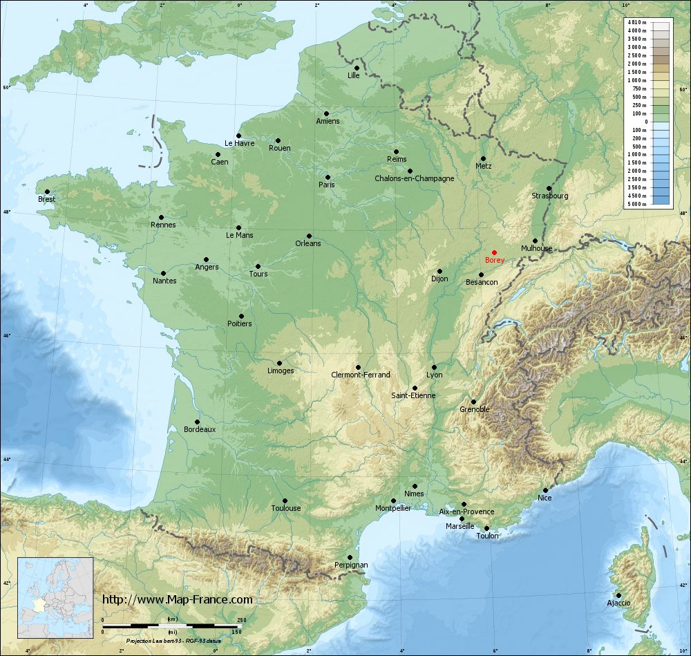
Borey on the relief France map in Lambert 93 coordinates
|
See the map of Borey in full screen (1000 x 949)
|
At left, here is the location of Borey on the relief France map in Lambert 93 coordinates.
Here are the altitudes of Borey :
- Town hall altitude of Borey is 320 meters
- Minimum altitude of Borey is 282 meters
- Maximum altitude of Borey is 438 meters
- Medium altitude of Borey is 360 meters
Here are the altitudes of Vesoul, prefecture of Haute-Saône department:
- Town hall altitude of Vesoul is 220 meters
- Minimum altitude of Vesoul is 213 meters
- Maximum altitude of Vesoul is 375 meters
- Medium altitude of Vesoul is 294 meters
Here are the altitudes of the french biggest cities:
Paris : 33 meters
Marseille : 20 meters
Lyon : 237 meters
Toulouse : 146 meters
Nice : 10 meters
Nantes : 20 meters
Strasbourg : 144 meters
Montpellier : 35 meters
Bordeaux : 16 meters
Lille : 20 meters
Rennes : 35 meters
Reims : 83 meters
Click here for the terrain map of Borey in full screen:
Relief map of Borey
|
This relief map of Borey is reusable and modifiable by making a link to this page of the Map-France.com website or by using the given code :
|
Terrain base map of Borey
|

See the terrain base map of Borey in full screen (1000 x 949)
|
Small relief base map of Borey

|
This base map of Borey is reusable and modifiable by making a link to this page of the Map-France.com website or by using the given code :
|
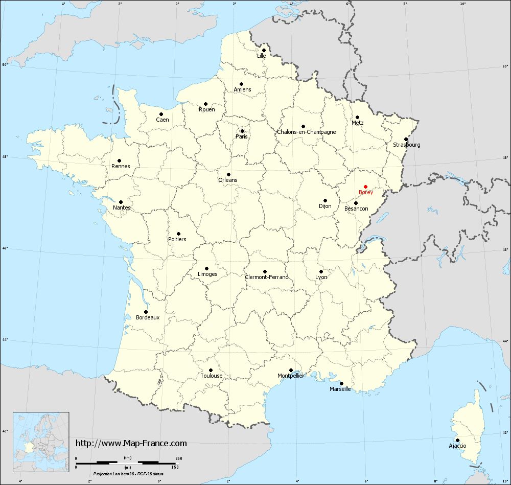
Map of Borey with regions and prefectures
|
View the map of Borey in full screen (1000 x 949)
|
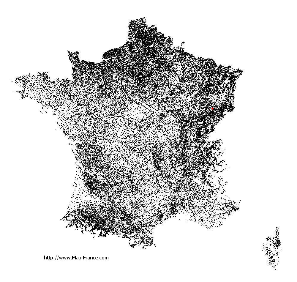
You will find the location of Borey on the map of France of regions in Lambert 93 coordinates. The town of Borey is located in the department of Haute-Saône of the french region Franche-Comté.
Geographical sexagesimal coordinates / GPS (WGS84):
Latitude: 47° 35' 36'' North
Longitude: 06° 21' 26'' East
Geographical decimal coordinates :
Latitude: 47.594 degrees (47.594° North)
Longitude: 6.356 degrees (6.356° East)
Lambert 93 coordinates :
X: 9 522 hectometers
Y: 67 268 hectometers
Lambert 2 coordinates :
X: 9 023 hectometers
Y: 22 959 hectometers
Below, the geographical coordinates of Vesoul, prefecture of the Haute-Saône department:
Geographical sexagesimal coordinates / GPS (WGS84):
Latitude: 47° 37' 20'' North
Longitude: 06° 09' 19'' East
Geographical decimal coordinates :
Latitude: 47.621 degrees (47.621° North)
Longitude: 6.158 degrees (6.158° East)
Lambert 93 coordinates :
X: 9 369 hectometers
Y: 67 294 hectometers
Lambert 2 coordinates :
X: 8 869 hectometers
Y: 22 984 hectometers
|
This map of Borey is reusable and modifiable by making a link to this page of the Map-France.com website or by using the given code :
|
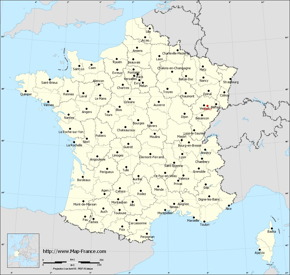
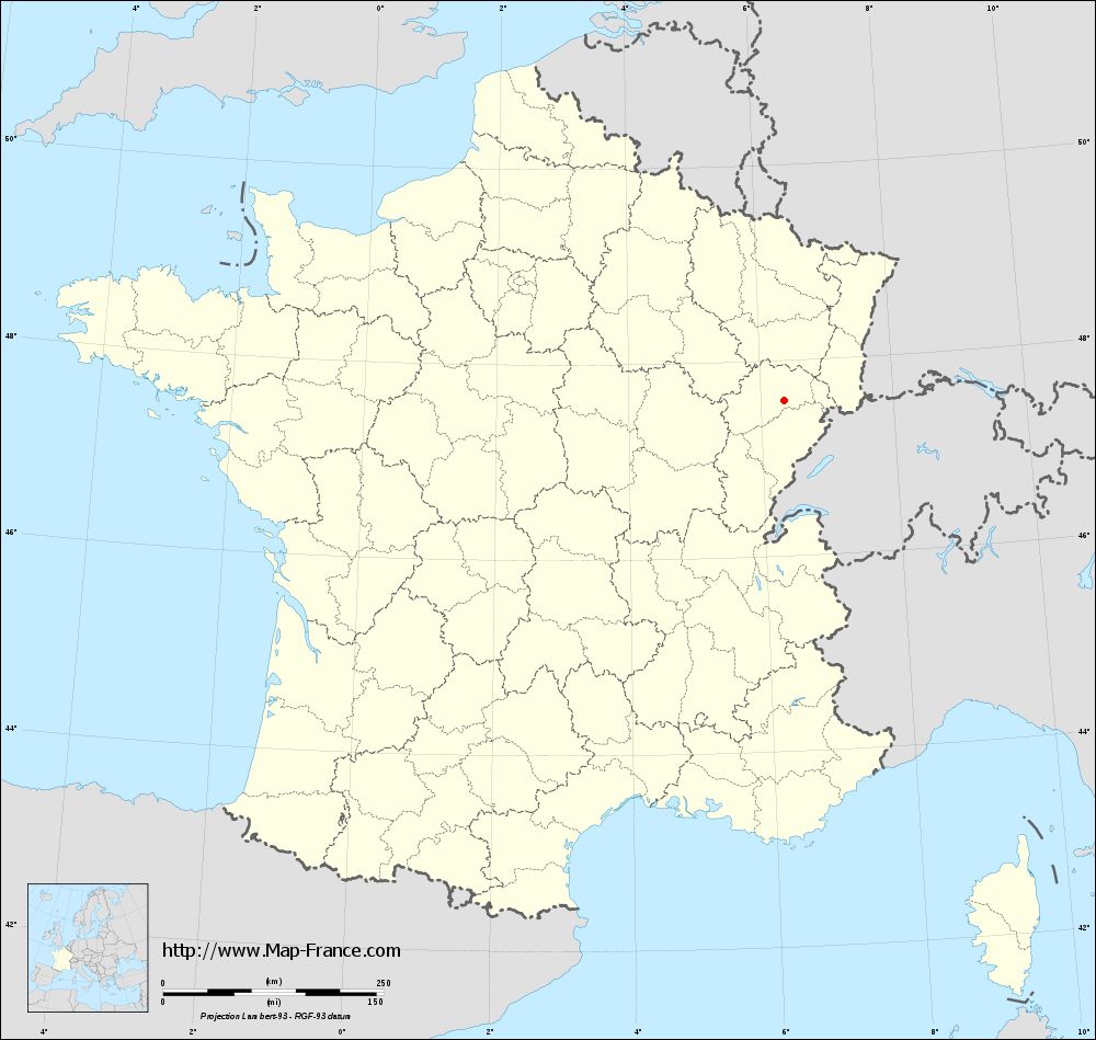
Map of Borey with departments and prefectures
|
Voir la carte of Borey en grand format (1000 x 949)
|
Here is the localization of Borey on the France map of departments in Lambert 93 coordinates. The city of Borey is shown on the map by a red point.
The town of Borey is located in the department of Haute-Saône of the french region Franche-Comté.
The latitude of Borey is 47.594 degrees North.
The longitude of Borey is 6.356 degrees East.
Here the distance between Borey and the biggest cities of France:
Distances are calculated as the crow flies (orthodromic distance)
Distance between Borey and Paris : 328.47 kilometers
Distance between Borey and Marseille : 483.11 kilometers
Distance between Borey and Lyon : 234.43 kilometers
Distance between Borey and Toulouse : 584.85 kilometers
Distance between Borey and Nice : 437.61 kilometers
Distance between Borey and Nantes : 596 kilometers
Distance between Borey and Strasbourg : 151.35 kilometers
Distance between Borey and Montpellier : 482.87 kilometers
Distance between Borey and Bordeaux : 613.92 kilometers
Distance between Borey and Lille : 414.24 kilometers
Distance between Borey and Rennes : 601.63 kilometers
Distance between Borey and Reims : 252.12 kilometers
Clic here to see the map of Borey in full screen:
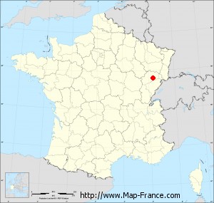
Borey on the map of french departments
|
This administrative map of Borey is reusable and modifiable by making a link to this page of the Map-France.com website or by using the given code :
|
Administrative base maps of Borey
|
See the administrative base map of Borey in full screen (1000 x 949)
|
Small administrative base map of Borey
|
This base map administrative of Borey is reusable and modifiable by making a link to this page of the Map-France.com website or by using the given code :
|
 French Version : http://www.cartesfrance.fr