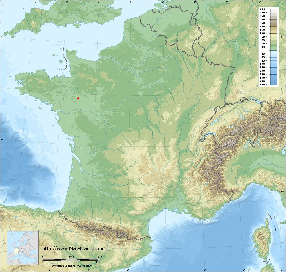
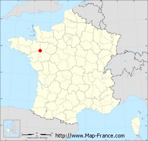
Bouchamps-lès-Craon on the relief France map in Lambert 93 coordinates
|

See the map of Bouchamps-lès-Craon in full screen (1000 x 949)
|
At left, here is the location of Bouchamps-lès-Craon on the relief France map in Lambert 93 coordinates.
Here are the altitudes of Bouchamps-lès-Craon :
- Town hall altitude of Bouchamps-lès-Craon is 70 meters
- Minimum altitude of Bouchamps-lès-Craon is 31 meters
- Maximum altitude of Bouchamps-lès-Craon is 104 meters
- Medium altitude of Bouchamps-lès-Craon is 68 meters
Here are the altitudes of Laval, prefecture of Mayenne department:
- Town hall altitude of Laval is 51 meters
- Minimum altitude of Laval is 42 meters
- Maximum altitude of Laval is 122 meters
- Medium altitude of Laval is 82 meters
Here are the altitudes of the french biggest cities:
Paris : 33 meters
Marseille : 20 meters
Lyon : 237 meters
Toulouse : 146 meters
Nice : 10 meters
Nantes : 20 meters
Strasbourg : 144 meters
Montpellier : 35 meters
Bordeaux : 16 meters
Lille : 20 meters
Rennes : 35 meters
Reims : 83 meters
Click here for the terrain map of Bouchamps-lès-Craon in full screen:
Relief map of Bouchamps-lès-Craon
|
This relief map of Bouchamps-lès-Craon is reusable and modifiable by making a link to this page of the Map-France.com website or by using the given code :
|
Terrain base map of Bouchamps-lès-Craon
|
See the terrain base map of Bouchamps-lès-Craon in full screen (1000 x 949)
|
Small relief base map of Bouchamps-lès-Craon
|
This base map of Bouchamps-lès-Craon is reusable and modifiable by making a link to this page of the Map-France.com website or by using the given code :
|
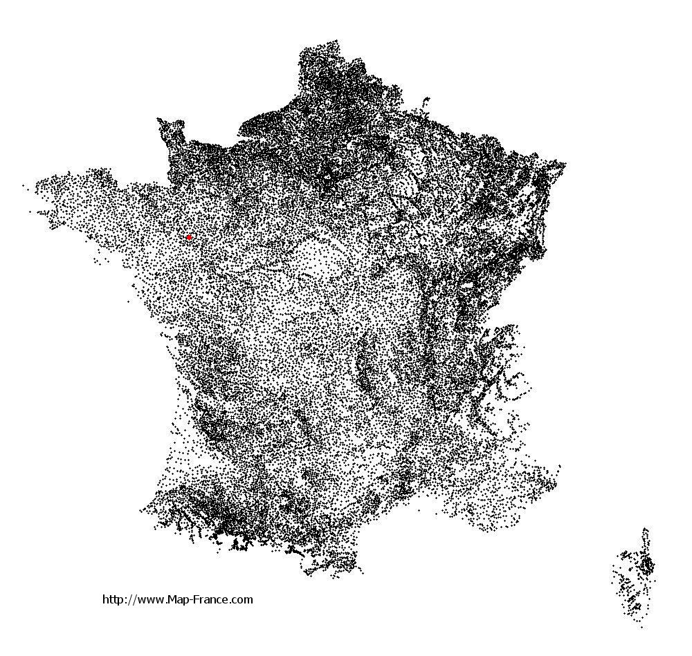
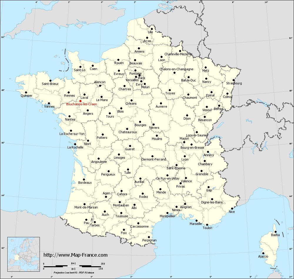
Map of Bouchamps-lès-Craon with regions and prefectures
|
View the map of Bouchamps-lès-Craon in full screen (1000 x 949)
|
You will find the location of Bouchamps-lès-Craon on the map of France of regions in Lambert 93 coordinates. The town of Bouchamps-lès-Craon is located in the department of Mayenne of the french region Pays de la Loire.
Geographical sexagesimal coordinates / GPS (WGS84):
Latitude: 47° 48' 53'' North
Longitude: 00° 59' 32'' West
Geographical decimal coordinates :
Latitude: 47.814 degrees (47.814° North)
Longitude: -0.993 degrees (0.993° West)
Lambert 93 coordinates :
X: 4 013 hectometers
Y: 67 536 hectometers
Lambert 2 coordinates :
X: 3 508 hectometers
Y: 23 181 hectometers
Below, the geographical coordinates of Laval, prefecture of the Mayenne department:
Geographical sexagesimal coordinates / GPS (WGS84):
Latitude: 48° 04' 22'' North
Longitude: 00° 46' 12'' West
Geographical decimal coordinates :
Latitude: 48.072 degrees (48.072° North)
Longitude: -0.773 degrees (0.773° West)
Lambert 93 coordinates :
X: 4 193 hectometers
Y: 67 814 hectometers
Lambert 2 coordinates :
X: 3 685 hectometers
Y: 23 461 hectometers
|
This map of Bouchamps-lès-Craon is reusable and modifiable by making a link to this page of the Map-France.com website or by using the given code :
|
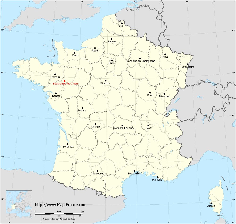
Map of Bouchamps-lès-Craon with departments and prefectures
|
Voir la carte of Bouchamps-lès-Craon en grand format (1000 x 949)
|
Here is the localization of Bouchamps-lès-Craon on the France map of departments in Lambert 93 coordinates. The city of Bouchamps-lès-Craon is shown on the map by a red point.
The town of Bouchamps-lès-Craon is located in the department of Mayenne of the french region Pays de la Loire.
The latitude of Bouchamps-lès-Craon is 47.814 degrees North.
The longitude of Bouchamps-lès-Craon is 0.993 degrees West.
Here the distance between Bouchamps-lès-Craon and the biggest cities of France:
Distances are calculated as the crow flies (orthodromic distance)
Distance between Bouchamps-lès-Craon and Paris : 272.57 kilometers
Distance between Bouchamps-lès-Craon and Marseille : 706.06 kilometers
Distance between Bouchamps-lès-Craon and Lyon : 498.48 kilometers
Distance between Bouchamps-lès-Craon and Toulouse : 505.09 kilometers
Distance between Bouchamps-lès-Craon and Nice : 785.32 kilometers
Distance between Bouchamps-lès-Craon and Nantes : 78.4 kilometers
Distance between Bouchamps-lès-Craon and Strasbourg : 653.15 kilometers
Distance between Bouchamps-lès-Craon and Montpellier : 600.5 kilometers
Distance between Bouchamps-lès-Craon and Bordeaux : 331.69 kilometers
Distance between Bouchamps-lès-Craon and Lille : 428.33 kilometers
Distance between Bouchamps-lès-Craon and Rennes : 60.65 kilometers
Distance between Bouchamps-lès-Craon and Reims : 402.82 kilometers
Clic here to see the map of Bouchamps-lès-Craon in full screen:
Bouchamps-lès-Craon on the map of french departments
|
This administrative map of Bouchamps-lès-Craon is reusable and modifiable by making a link to this page of the Map-France.com website or by using the given code :
|
Administrative base maps of Bouchamps-lès-Craon
|

See the administrative base map of Bouchamps-lès-Craon in full screen (1000 x 949)
|
Small administrative base map of Bouchamps-lès-Craon
|
This base map administrative of Bouchamps-lès-Craon is reusable and modifiable by making a link to this page of the Map-France.com website or by using the given code :
|
 French Version : http://www.cartesfrance.fr