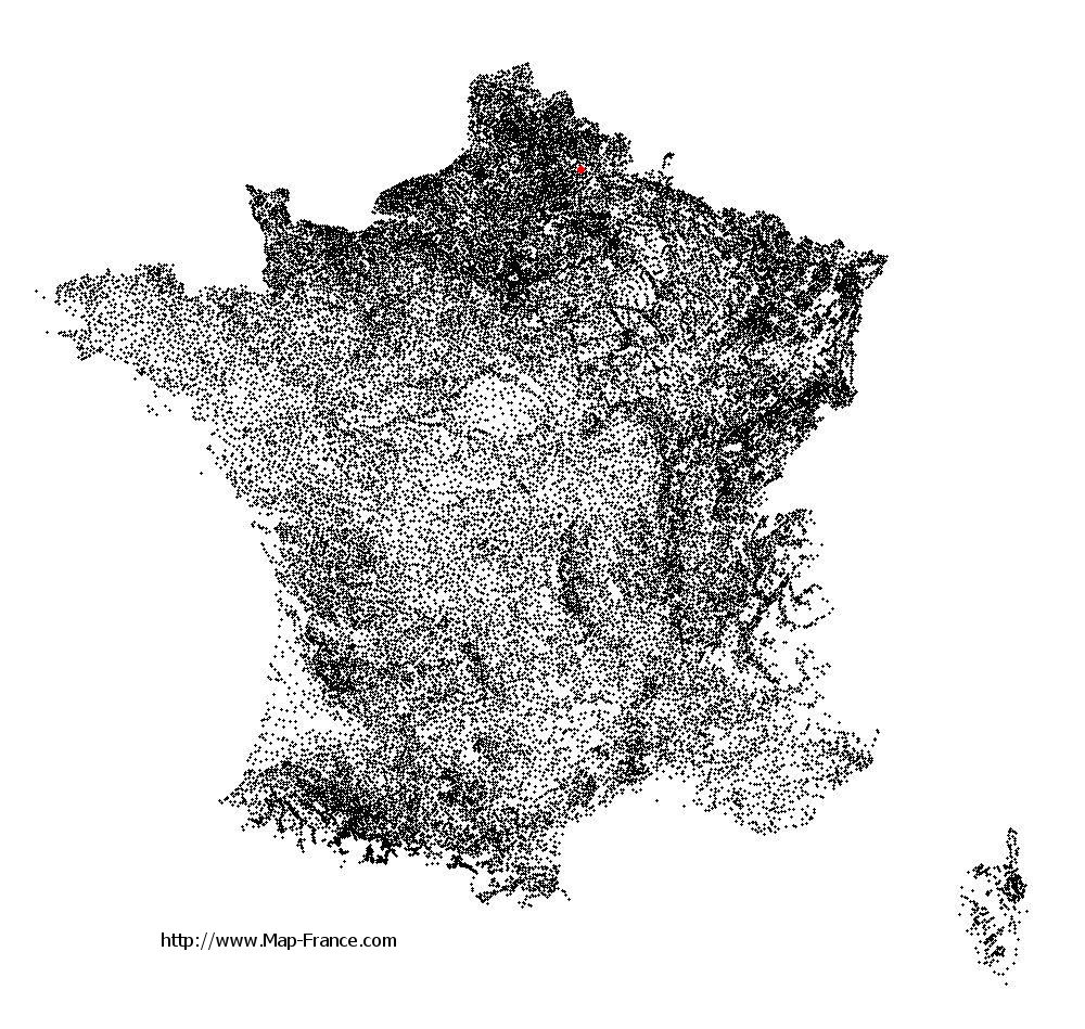
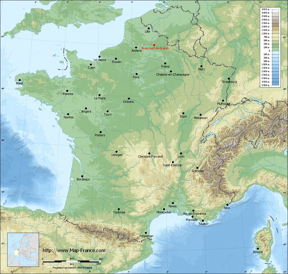
Brancourt-le-Grand on the relief France map in Lambert 93 coordinates
|
See the map of Brancourt-le-Grand in full screen (1000 x 949)
|
At left, here is the location of Brancourt-le-Grand on the relief France map in Lambert 93 coordinates.
Here are the altitudes of Brancourt-le-Grand :
- Town hall altitude of Brancourt-le-Grand is 130 meters
- Minimum altitude of Brancourt-le-Grand is 120 meters
- Maximum altitude of Brancourt-le-Grand is 159 meters
- Medium altitude of Brancourt-le-Grand is 140 meters
Here are the altitudes of Laon, prefecture of Aisne department:
- Town hall altitude of Laon is 160 meters
- Minimum altitude of Laon is 63 meters
- Maximum altitude of Laon is 183 meters
- Medium altitude of Laon is 123 meters
Here are the altitudes of the french biggest cities:
Paris : 33 meters
Marseille : 20 meters
Lyon : 237 meters
Toulouse : 146 meters
Nice : 10 meters
Nantes : 20 meters
Strasbourg : 144 meters
Montpellier : 35 meters
Bordeaux : 16 meters
Lille : 20 meters
Rennes : 35 meters
Reims : 83 meters
Click here for the terrain map of Brancourt-le-Grand in full screen:
Relief map of Brancourt-le-Grand
|
This relief map of Brancourt-le-Grand is reusable and modifiable by making a link to this page of the Map-France.com website or by using the given code :
|
Terrain base map of Brancourt-le-Grand
|

See the terrain base map of Brancourt-le-Grand in full screen (1000 x 949)
|
Small relief base map of Brancourt-le-Grand

|
This base map of Brancourt-le-Grand is reusable and modifiable by making a link to this page of the Map-France.com website or by using the given code :
|
Map of Brancourt-le-Grand with regions and prefectures
|
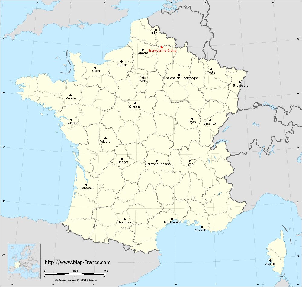
View the map of Brancourt-le-Grand in full screen (1000 x 949)
|
You will find the location of Brancourt-le-Grand on the map of France of regions in Lambert 93 coordinates. The town of Brancourt-le-Grand is located in the department of Aisne of the french region Picardie.
Geographical sexagesimal coordinates / GPS (WGS84):
Latitude: 49° 58' 36'' North
Longitude: 03° 22' 53'' East
Geographical decimal coordinates :
Latitude: 49.978 degrees (49.978° North)
Longitude: 3.384 degrees (3.384° East)
Lambert 93 coordinates :
X: 7 274 hectometers
Y: 69 865 hectometers
Lambert 2 coordinates :
X: 6 751 hectometers
Y: 25 539 hectometers
Below, the geographical coordinates of Laon, prefecture of the Aisne department:
Geographical sexagesimal coordinates / GPS (WGS84):
Latitude: 49° 33' 48'' North
Longitude: 03° 37' 25'' East
Geographical decimal coordinates :
Latitude: 49.569 degrees (49.569° North)
Longitude: 3.626 degrees (3.626° East)
Lambert 93 coordinates :
X: 7 451 hectometers
Y: 69 406 hectometers
Lambert 2 coordinates :
X: 6 932 hectometers
Y: 25 081 hectometers
|
This map of Brancourt-le-Grand is reusable and modifiable by making a link to this page of the Map-France.com website or by using the given code :
|
Map of Brancourt-le-Grand with departments and prefectures
|
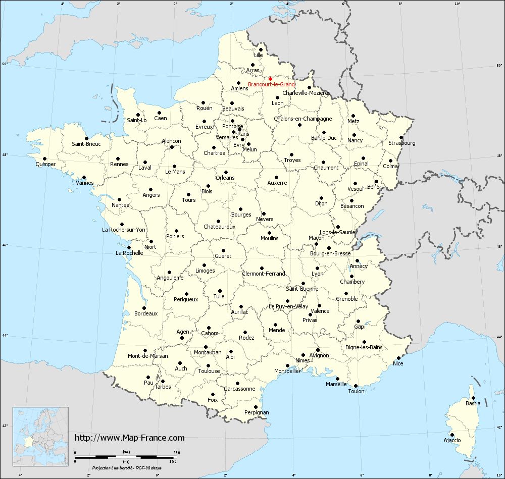
Voir la carte of Brancourt-le-Grand en grand format (1000 x 949)
|
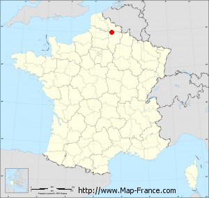
Here is the localization of Brancourt-le-Grand on the France map of departments in Lambert 93 coordinates. The city of Brancourt-le-Grand is shown on the map by a red point.
The town of Brancourt-le-Grand is located in the department of Aisne of the french region Picardie.
The latitude of Brancourt-le-Grand is 49.978 degrees North.
The longitude of Brancourt-le-Grand is 3.384 degrees East.
Here the distance between Brancourt-le-Grand and the biggest cities of France:
Distances are calculated as the crow flies (orthodromic distance)
Distance between Brancourt-le-Grand and Paris : 144.99 kilometers
Distance between Brancourt-le-Grand and Marseille : 757.88 kilometers
Distance between Brancourt-le-Grand and Lyon : 480.9 kilometers
Distance between Brancourt-le-Grand and Toulouse : 723.62 kilometers
Distance between Brancourt-le-Grand and Nice : 756.31 kilometers
Distance between Brancourt-le-Grand and Nantes : 474.76 kilometers
Distance between Brancourt-le-Grand and Strasbourg : 352.58 kilometers
Distance between Brancourt-le-Grand and Montpellier : 708.57 kilometers
Distance between Brancourt-le-Grand and Bordeaux : 643.24 kilometers
Distance between Brancourt-le-Grand and Lille : 76.18 kilometers
Distance between Brancourt-le-Grand and Rennes : 423.17 kilometers
Distance between Brancourt-le-Grand and Reims : 92.53 kilometers
Clic here to see the map of Brancourt-le-Grand in full screen:
Brancourt-le-Grand on the map of french departments
|
This administrative map of Brancourt-le-Grand is reusable and modifiable by making a link to this page of the Map-France.com website or by using the given code :
|
Administrative base maps of Brancourt-le-Grand
|

See the administrative base map of Brancourt-le-Grand in full screen (1000 x 949)
|
Small administrative base map of Brancourt-le-Grand
|
This base map administrative of Brancourt-le-Grand is reusable and modifiable by making a link to this page of the Map-France.com website or by using the given code :
|
 French Version : http://www.cartesfrance.fr