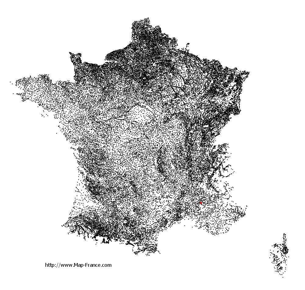
Buis-les-Baronnies on the relief France map in Lambert 93 coordinates
|

See the map of Buis-les-Baronnies in full screen (1000 x 949)
|
At left, here is the location of Buis-les-Baronnies on the relief France map in Lambert 93 coordinates.
Here are the altitudes of Buis-les-Baronnies :
- Town hall altitude of Buis-les-Baronnies is 380 meters
- Minimum altitude of Buis-les-Baronnies is 319 meters
- Maximum altitude of Buis-les-Baronnies is 1 080 meters
- Medium altitude of Buis-les-Baronnies is 700 meters
Here are the altitudes of Valence, prefecture of Drôme department:
- Town hall altitude of Valence is 126 meters
- Minimum altitude of Valence is 106 meters
- Maximum altitude of Valence is 191 meters
- Medium altitude of Valence is 149 meters
Here are the altitudes of the french biggest cities:
Paris : 33 meters
Marseille : 20 meters
Lyon : 237 meters
Toulouse : 146 meters
Nice : 10 meters
Nantes : 20 meters
Strasbourg : 144 meters
Montpellier : 35 meters
Bordeaux : 16 meters
Lille : 20 meters
Rennes : 35 meters
Reims : 83 meters
Click here for the terrain map of Buis-les-Baronnies in full screen:
Relief map of Buis-les-Baronnies
|
This relief map of Buis-les-Baronnies is reusable and modifiable by making a link to this page of the Map-France.com website or by using the given code :
|
Terrain base map of Buis-les-Baronnies
|

See the terrain base map of Buis-les-Baronnies in full screen (1000 x 949)
|
Small relief base map of Buis-les-Baronnies

|
This base map of Buis-les-Baronnies is reusable and modifiable by making a link to this page of the Map-France.com website or by using the given code :
|
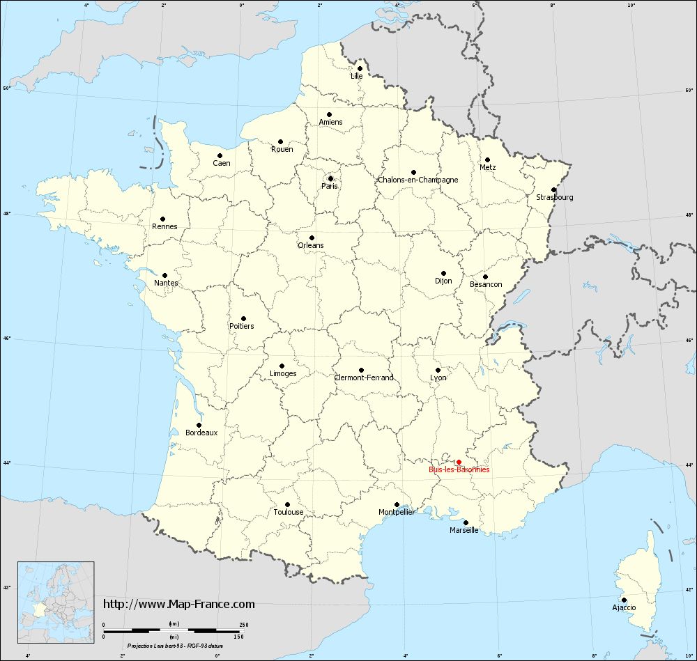
Map of Buis-les-Baronnies with regions and prefectures
|
View the map of Buis-les-Baronnies in full screen (1000 x 949)
|
You will find the location of Buis-les-Baronnies on the map of France of regions in Lambert 93 coordinates. The city of Buis-les-Baronnies is located in the department of Drôme of the french region Rhône-Alpes.
Geographical sexagesimal coordinates / GPS (WGS84):
Latitude: 44° 16' 31'' North
Longitude: 05° 16' 28'' East
Geographical decimal coordinates :
Latitude: 44.276 degrees (44.276° North)
Longitude: 5.272 degrees (5.272° East)
Lambert 93 coordinates :
X: 8 815 hectometers
Y: 63 555 hectometers
Lambert 2 coordinates :
X: 8 347 hectometers
Y: 19 237 hectometers
Below, the geographical coordinates of Valence, prefecture of the Drôme department:
Geographical sexagesimal coordinates / GPS (WGS84):
Latitude: 44° 55' 57'' North
Longitude: 04° 53' 27'' East
Geographical decimal coordinates :
Latitude: 44.927 degrees (44.927° North)
Longitude: 4.895 degrees (4.895° East)
Lambert 93 coordinates :
X: 8 492 hectometers
Y: 64 277 hectometers
Lambert 2 coordinates :
X: 8 017 hectometers
Y: 19 957 hectometers
|
This map of Buis-les-Baronnies is reusable and modifiable by making a link to this page of the Map-France.com website or by using the given code :
|
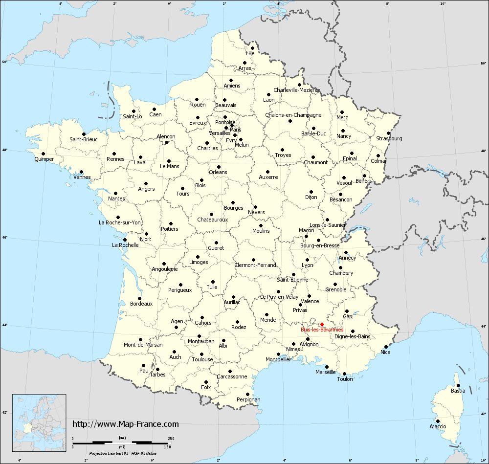
Map of Buis-les-Baronnies with departments and prefectures
|
Voir la carte of Buis-les-Baronnies en grand format (1000 x 949)
|
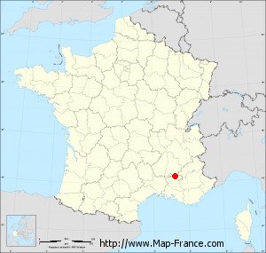
Here is the localization of Buis-les-Baronnies on the France map of departments in Lambert 93 coordinates. The city of Buis-les-Baronnies is shown on the map by a red point.
The city of Buis-les-Baronnies is located in the department of Drôme of the french region Rhône-Alpes.
The latitude of Buis-les-Baronnies is 44.276 degrees North.
The longitude of Buis-les-Baronnies is 5.272 degrees East.
Here the distance between Buis-les-Baronnies and the biggest cities of France:
Distances are calculated as the crow flies (orthodromic distance)
Distance between Buis-les-Baronnies and Paris : 556.17 kilometers
Distance between Buis-les-Baronnies and Marseille : 109.21 kilometers
Distance between Buis-les-Baronnies and Lyon : 168.38 kilometers
Distance between Buis-les-Baronnies and Toulouse : 314.84 kilometers
Distance between Buis-les-Baronnies and Nice : 171.21 kilometers
Distance between Buis-les-Baronnies and Nantes : 621.77 kilometers
Distance between Buis-les-Baronnies and Strasbourg : 515.01 kilometers
Distance between Buis-les-Baronnies and Montpellier : 134.18 kilometers
Distance between Buis-les-Baronnies and Bordeaux : 467.06 kilometers
Distance between Buis-les-Baronnies and Lille : 725.22 kilometers
Distance between Buis-les-Baronnies and Rennes : 683.04 kilometers
Distance between Buis-les-Baronnies and Reims : 561.5 kilometers
Clic here to see the map of Buis-les-Baronnies in full screen:
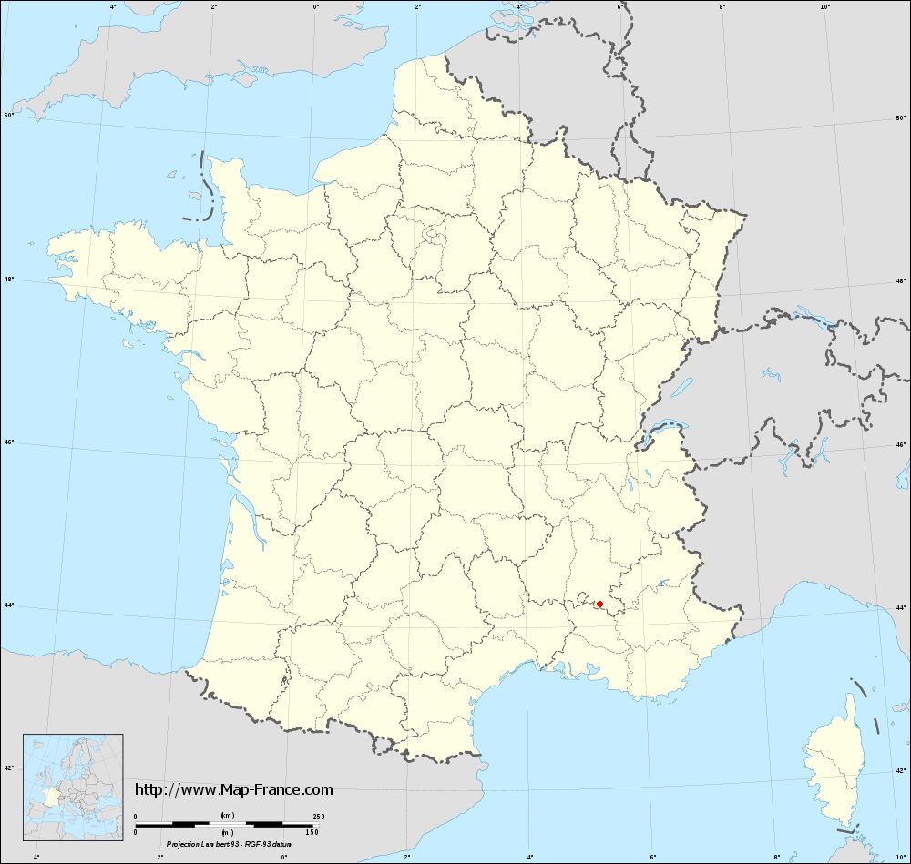
Buis-les-Baronnies on the map of french departments
|
This administrative map of Buis-les-Baronnies is reusable and modifiable by making a link to this page of the Map-France.com website or by using the given code :
|
Administrative base maps of Buis-les-Baronnies
|
See the administrative base map of Buis-les-Baronnies in full screen (1000 x 949)
|
Small administrative base map of Buis-les-Baronnies
|
This base map administrative of Buis-les-Baronnies is reusable and modifiable by making a link to this page of the Map-France.com website or by using the given code :
|
 French Version : http://www.cartesfrance.fr