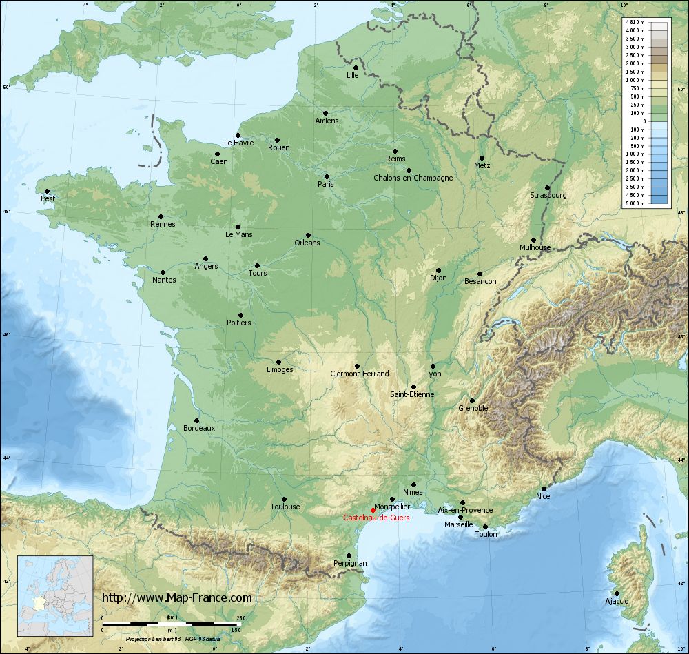
Castelnau-de-Guers on the relief France map in Lambert 93 coordinates
|
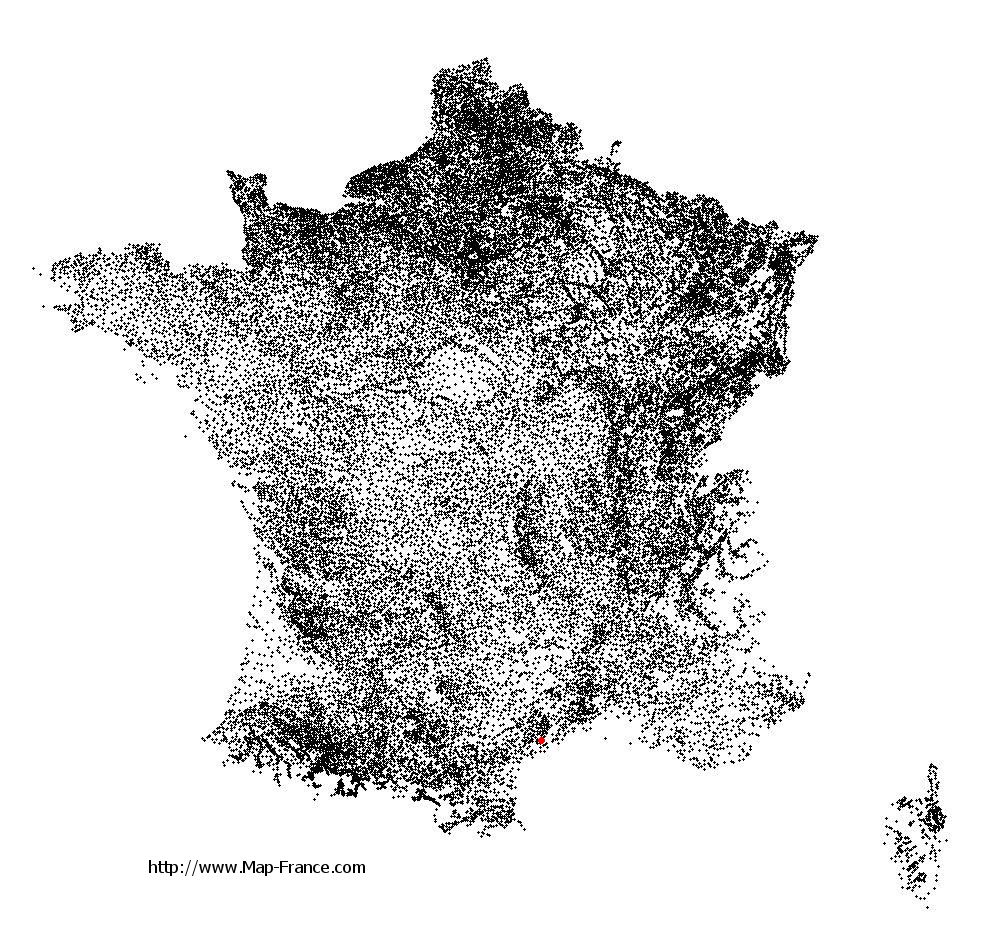
See the map of Castelnau-de-Guers in full screen (1000 x 949)
|
At left, here is the location of Castelnau-de-Guers on the relief France map in Lambert 93 coordinates.
Here are the altitudes of Castelnau-de-Guers :
- Town hall altitude of Castelnau-de-Guers is 50 meters
- Minimum altitude of Castelnau-de-Guers is 1 meters
- Maximum altitude of Castelnau-de-Guers is 105 meters
- Medium altitude of Castelnau-de-Guers is 53 meters
Here are the altitudes of Montpellier, prefecture of Hérault department:
- Town hall altitude of Montpellier is 35 meters
- Minimum altitude of Montpellier is 7 meters
- Maximum altitude of Montpellier is 121 meters
- Medium altitude of Montpellier is 64 meters
Here are the altitudes of the french biggest cities:
Paris : 33 meters
Marseille : 20 meters
Lyon : 237 meters
Toulouse : 146 meters
Nice : 10 meters
Nantes : 20 meters
Strasbourg : 144 meters
Montpellier : 35 meters
Bordeaux : 16 meters
Lille : 20 meters
Rennes : 35 meters
Reims : 83 meters
Click here for the terrain map of Castelnau-de-Guers in full screen:
Relief map of Castelnau-de-Guers
|
This relief map of Castelnau-de-Guers is reusable and modifiable by making a link to this page of the Map-France.com website or by using the given code :
|
Terrain base map of Castelnau-de-Guers
|

See the terrain base map of Castelnau-de-Guers in full screen (1000 x 949)
|
Small relief base map of Castelnau-de-Guers

|
This base map of Castelnau-de-Guers is reusable and modifiable by making a link to this page of the Map-France.com website or by using the given code :
|
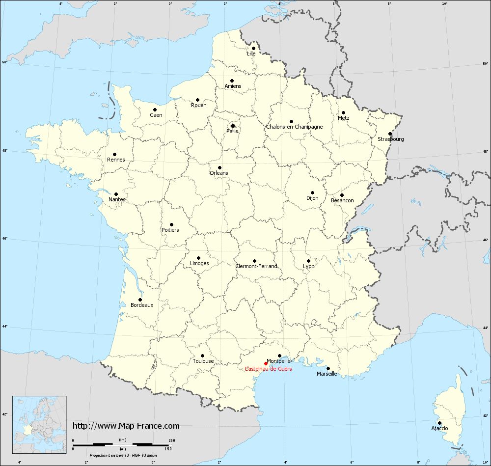
Map of Castelnau-de-Guers with regions and prefectures
|
View the map of Castelnau-de-Guers in full screen (1000 x 949)
|
You will find the location of Castelnau-de-Guers on the map of France of regions in Lambert 93 coordinates. The town of Castelnau-de-Guers is located in the department of Hérault of the french region Languedoc-Roussillon.
Geographical sexagesimal coordinates / GPS (WGS84):
Latitude: 43° 26' 05'' North
Longitude: 03° 26' 19'' East
Geographical decimal coordinates :
Latitude: 43.436 degrees (43.436° North)
Longitude: 3.439 degrees (3.439° East)
Lambert 93 coordinates :
X: 7 355 hectometers
Y: 62 596 hectometers
Lambert 2 coordinates :
X: 6 894 hectometers
Y: 18 265 hectometers
Below, the geographical coordinates of Montpellier, prefecture of the Hérault department:
Geographical sexagesimal coordinates / GPS (WGS84):
Latitude: 43° 36' 40'' North
Longitude: 03° 52' 36'' East
Geographical decimal coordinates :
Latitude: 43.609 degrees (43.609° North)
Longitude: 3.874 degrees (3.874° East)
Lambert 93 coordinates :
X: 7 708 hectometers
Y: 62 795 hectometers
Lambert 2 coordinates :
X: 7 245 hectometers
Y: 18 467 hectometers
|
This map of Castelnau-de-Guers is reusable and modifiable by making a link to this page of the Map-France.com website or by using the given code :
|
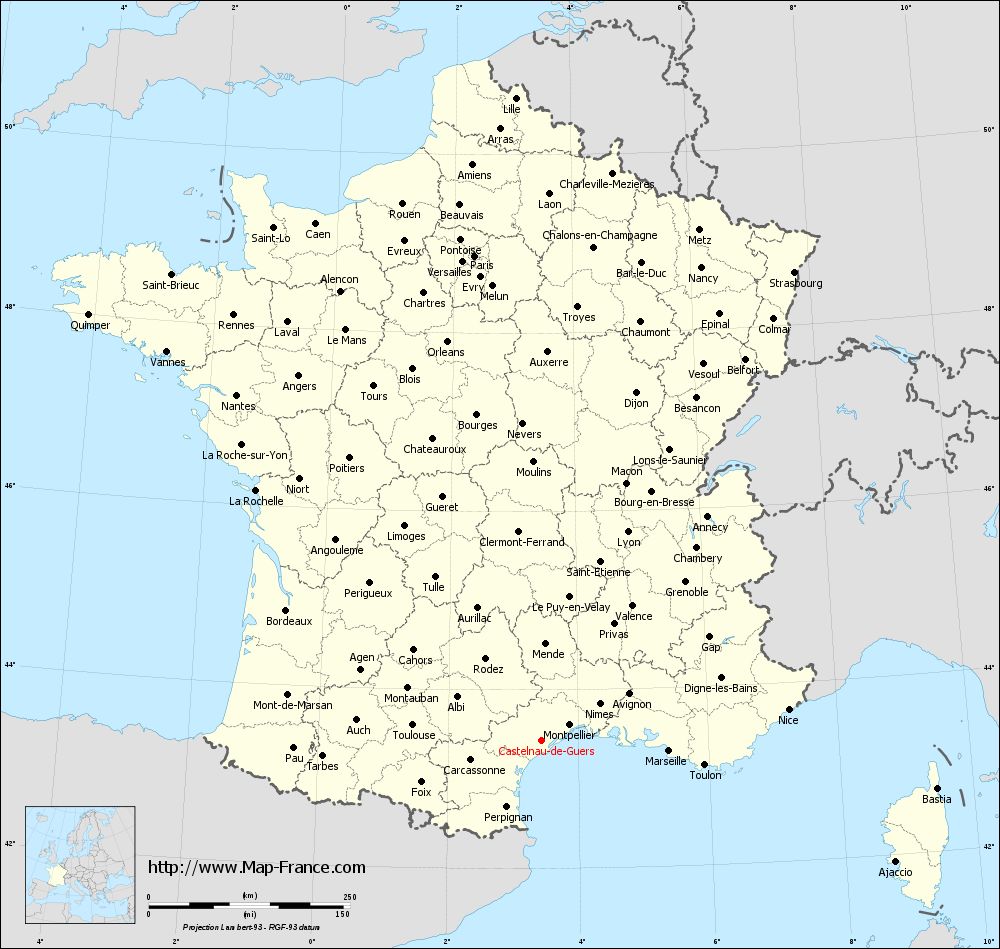
Map of Castelnau-de-Guers with departments and prefectures
|
Voir la carte of Castelnau-de-Guers en grand format (1000 x 949)
|
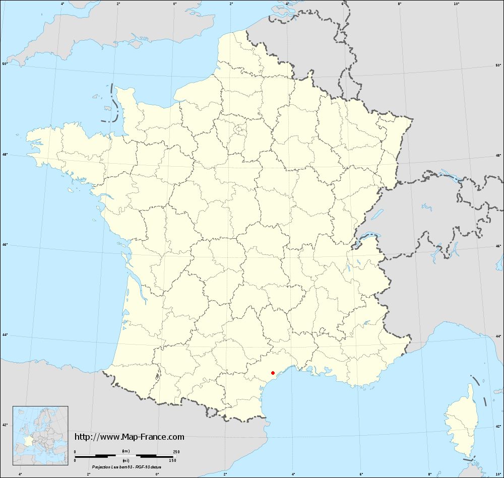
Here is the localization of Castelnau-de-Guers on the France map of departments in Lambert 93 coordinates. The city of Castelnau-de-Guers is shown on the map by a red point.
The town of Castelnau-de-Guers is located in the department of Hérault of the french region Languedoc-Roussillon.
The latitude of Castelnau-de-Guers is 43.436 degrees North.
The longitude of Castelnau-de-Guers is 3.439 degrees East.
Here the distance between Castelnau-de-Guers and the biggest cities of France:
Distances are calculated as the crow flies (orthodromic distance)
Distance between Castelnau-de-Guers and Paris : 608.58 kilometers
Distance between Castelnau-de-Guers and Marseille : 159.1 kilometers
Distance between Castelnau-de-Guers and Lyon : 280.82 kilometers
Distance between Castelnau-de-Guers and Toulouse : 161.25 kilometers
Distance between Castelnau-de-Guers and Nice : 309.21 kilometers
Distance between Castelnau-de-Guers and Nantes : 573.17 kilometers
Distance between Castelnau-de-Guers and Strasbourg : 661.72 kilometers
Distance between Castelnau-de-Guers and Montpellier : 39.99 kilometers
Distance between Castelnau-de-Guers and Bordeaux : 356.14 kilometers
Distance between Castelnau-de-Guers and Lille : 799.66 kilometers
Distance between Castelnau-de-Guers and Rennes : 653.01 kilometers
Distance between Castelnau-de-Guers and Reims : 648.48 kilometers
Clic here to see the map of Castelnau-de-Guers in full screen:
Castelnau-de-Guers on the map of french departments
|
This administrative map of Castelnau-de-Guers is reusable and modifiable by making a link to this page of the Map-France.com website or by using the given code :
|
Administrative base maps of Castelnau-de-Guers
|
See the administrative base map of Castelnau-de-Guers in full screen (1000 x 949)
|
Small administrative base map of Castelnau-de-Guers
|
This base map administrative of Castelnau-de-Guers is reusable and modifiable by making a link to this page of the Map-France.com website or by using the given code :
|
 French Version : http://www.cartesfrance.fr