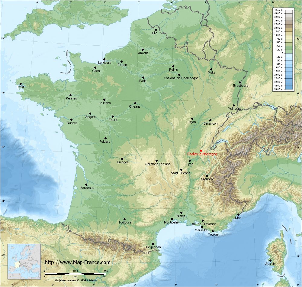
Challes-la-Montagne on the relief France map in Lambert 93 coordinates
|
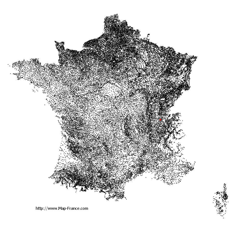
See the map of Challes-la-Montagne in full screen (1000 x 949)
|
At left, here is the location of Challes-la-Montagne on the relief France map in Lambert 93 coordinates.
Here are the altitudes of Challes-la-Montagne :
- Town hall altitude of Challes-la-Montagne is 500 meters
- Minimum altitude of Challes-la-Montagne is 440 meters
- Maximum altitude of Challes-la-Montagne is 700 meters
- Medium altitude of Challes-la-Montagne is 570 meters
Here are the altitudes of Bourg-en-Bresse, prefecture of Ain department:
- Town hall altitude of Bourg-en-Bresse is 230 meters
- Minimum altitude of Bourg-en-Bresse is 220 meters
- Maximum altitude of Bourg-en-Bresse is 273 meters
- Medium altitude of Bourg-en-Bresse is 247 meters
Here are the altitudes of the french biggest cities:
Paris : 33 meters
Marseille : 20 meters
Lyon : 237 meters
Toulouse : 146 meters
Nice : 10 meters
Nantes : 20 meters
Strasbourg : 144 meters
Montpellier : 35 meters
Bordeaux : 16 meters
Lille : 20 meters
Rennes : 35 meters
Reims : 83 meters
Click here for the terrain map of Challes-la-Montagne in full screen:
Relief map of Challes-la-Montagne
|
This relief map of Challes-la-Montagne is reusable and modifiable by making a link to this page of the Map-France.com website or by using the given code :
|
Terrain base map of Challes-la-Montagne
|

See the terrain base map of Challes-la-Montagne in full screen (1000 x 949)
|
Small relief base map of Challes-la-Montagne

|
This base map of Challes-la-Montagne is reusable and modifiable by making a link to this page of the Map-France.com website or by using the given code :
|
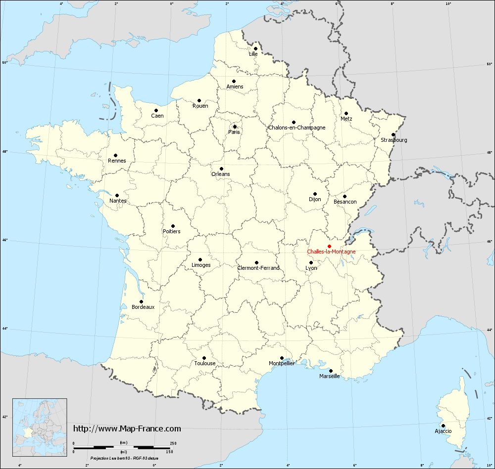
Map of Challes-la-Montagne with regions and prefectures
|
View the map of Challes-la-Montagne in full screen (1000 x 949)
|
You will find the location of Challes-la-Montagne on the map of France of regions in Lambert 93 coordinates. The town of Challes-la-Montagne is located in the department of Ain of the french region Rhône-Alpes.
Geographical sexagesimal coordinates / GPS (WGS84):
Latitude: 46° 07' 30'' North
Longitude: 05° 27' 52'' East
Geographical decimal coordinates :
Latitude: 46.126 degrees (46.126° North)
Longitude: 5.463 degrees (5.463° East)
Lambert 93 coordinates :
X: 8 903 hectometers
Y: 65 613 hectometers
Lambert 2 coordinates :
X: 8 417 hectometers
Y: 21 298 hectometers
Below, the geographical coordinates of Bourg-en-Bresse, prefecture of the Ain department:
Geographical sexagesimal coordinates / GPS (WGS84):
Latitude: 46° 12' 17'' North
Longitude: 05° 13' 41'' East
Geographical decimal coordinates :
Latitude: 46.205 degrees (46.205° North)
Longitude: 5.226 degrees (5.226° East)
Lambert 93 coordinates :
X: 8 718 hectometers
Y: 65 696 hectometers
Lambert 2 coordinates :
X: 8 231 hectometers
Y: 21 380 hectometers
|
This map of Challes-la-Montagne is reusable and modifiable by making a link to this page of the Map-France.com website or by using the given code :
|
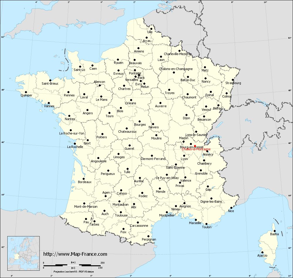
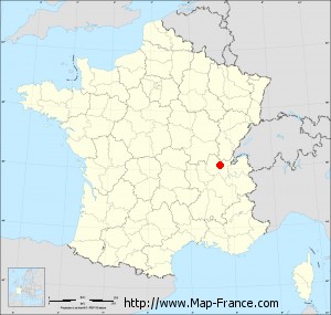
Map of Challes-la-Montagne with departments and prefectures
|
Voir la carte of Challes-la-Montagne en grand format (1000 x 949)
|
Here is the localization of Challes-la-Montagne on the France map of departments in Lambert 93 coordinates. The city of Challes-la-Montagne is shown on the map by a red point.
The town of Challes-la-Montagne is located in the department of Ain of the french region Rhône-Alpes.
The latitude of Challes-la-Montagne is 46.126 degrees North.
The longitude of Challes-la-Montagne is 5.463 degrees East.
Here the distance between Challes-la-Montagne and the biggest cities of France:
Distances are calculated as the crow flies (orthodromic distance)
Distance between Challes-la-Montagne and Paris : 383.43 kilometers
Distance between Challes-la-Montagne and Marseille : 314.35 kilometers
Distance between Challes-la-Montagne and Lyon : 63.38 kilometers
Distance between Challes-la-Montagne and Toulouse : 422.59 kilometers
Distance between Challes-la-Montagne and Nice : 303.86 kilometers
Distance between Challes-la-Montagne and Nantes : 548.37 kilometers
Distance between Challes-la-Montagne and Strasbourg : 323.01 kilometers
Distance between Challes-la-Montagne and Montpellier : 306.41 kilometers
Distance between Challes-la-Montagne and Bordeaux : 491.36 kilometers
Distance between Challes-la-Montagne and Lille : 530.98 kilometers
Distance between Challes-la-Montagne and Rennes : 582.97 kilometers
Distance between Challes-la-Montagne and Reims : 364.04 kilometers
Clic here to see the map of Challes-la-Montagne in full screen:
Challes-la-Montagne on the map of french departments
|
This administrative map of Challes-la-Montagne is reusable and modifiable by making a link to this page of the Map-France.com website or by using the given code :
|
Administrative base maps of Challes-la-Montagne
|

See the administrative base map of Challes-la-Montagne in full screen (1000 x 949)
|
Small administrative base map of Challes-la-Montagne
|
This base map administrative of Challes-la-Montagne is reusable and modifiable by making a link to this page of the Map-France.com website or by using the given code :
|
 French Version : http://www.cartesfrance.fr