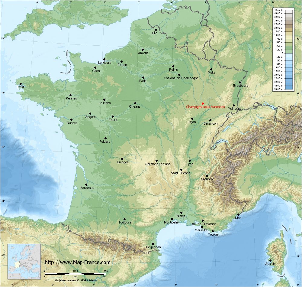
Champigny-sous-Varennes on the relief France map in Lambert 93 coordinates
|
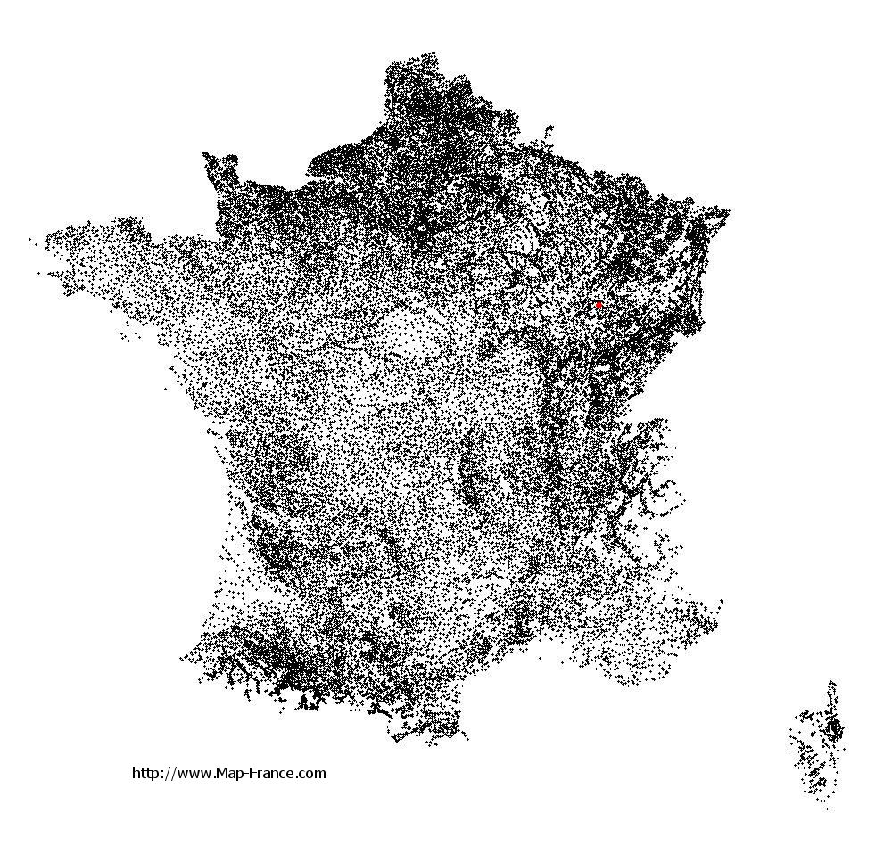
See the map of Champigny-sous-Varennes in full screen (1000 x 949)
|
At left, here is the location of Champigny-sous-Varennes on the relief France map in Lambert 93 coordinates.
Here are the altitudes of Champigny-sous-Varennes :
- Town hall altitude of Champigny-sous-Varennes is 245 meters
- Minimum altitude of Champigny-sous-Varennes is 238 meters
- Maximum altitude of Champigny-sous-Varennes is 352 meters
- Medium altitude of Champigny-sous-Varennes is 295 meters
Here are the altitudes of Chaumont, prefecture of Haute-Marne department:
- Town hall altitude of Chaumont is 290 meters
- Minimum altitude of Chaumont is 247 meters
- Maximum altitude of Chaumont is 416 meters
- Medium altitude of Chaumont is 332 meters
Here are the altitudes of the french biggest cities:
Paris : 33 meters
Marseille : 20 meters
Lyon : 237 meters
Toulouse : 146 meters
Nice : 10 meters
Nantes : 20 meters
Strasbourg : 144 meters
Montpellier : 35 meters
Bordeaux : 16 meters
Lille : 20 meters
Rennes : 35 meters
Reims : 83 meters
Click here for the terrain map of Champigny-sous-Varennes in full screen:
Relief map of Champigny-sous-Varennes
|
This relief map of Champigny-sous-Varennes is reusable and modifiable by making a link to this page of the Map-France.com website or by using the given code :
|
Terrain base map of Champigny-sous-Varennes
|

See the terrain base map of Champigny-sous-Varennes in full screen (1000 x 949)
|
Small relief base map of Champigny-sous-Varennes

|
This base map of Champigny-sous-Varennes is reusable and modifiable by making a link to this page of the Map-France.com website or by using the given code :
|
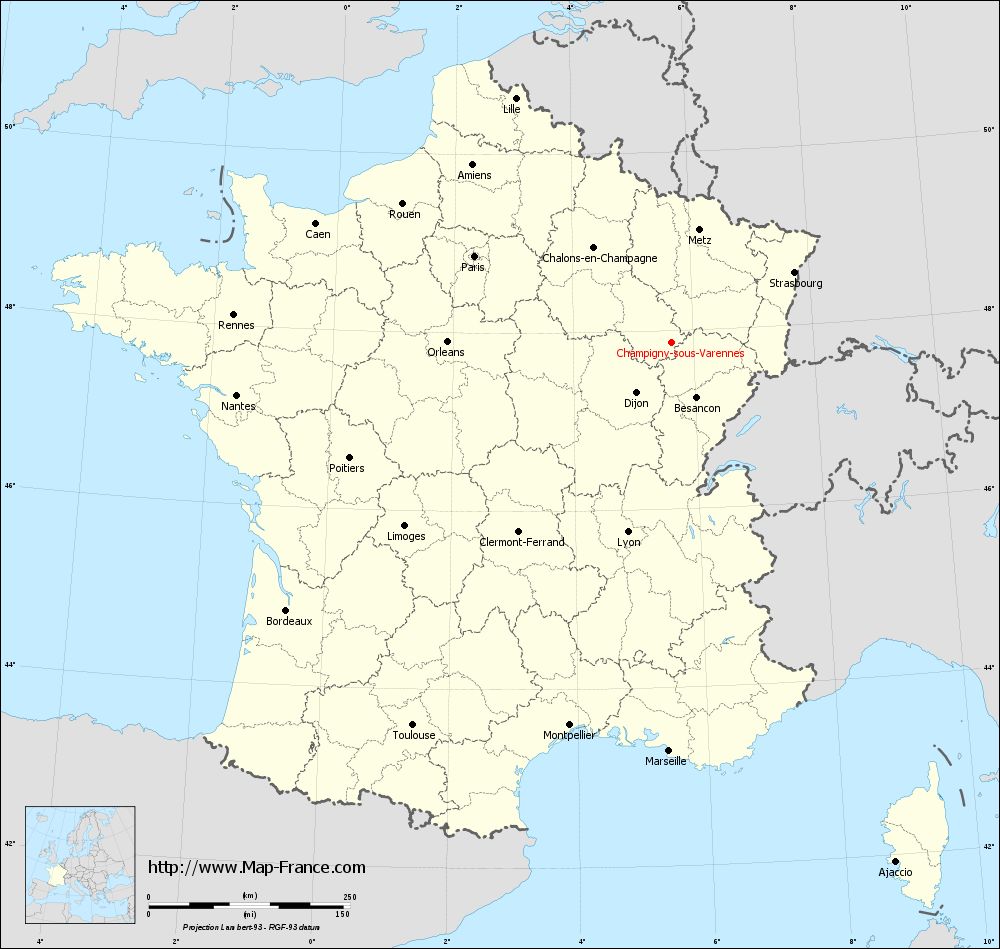
Map of Champigny-sous-Varennes with regions and prefectures
|
View the map of Champigny-sous-Varennes in full screen (1000 x 949)
|
You will find the location of Champigny-sous-Varennes on the map of France of regions in Lambert 93 coordinates. The town of Champigny-sous-Varennes is located in the department of Haute-Marne of the french region Champagne-Ardenne.
Geographical sexagesimal coordinates / GPS (WGS84):
Latitude: 47° 52' 03'' North
Longitude: 05° 38' 38'' East
Geographical decimal coordinates :
Latitude: 47.867 degrees (47.867° North)
Longitude: 5.646 degrees (5.646° East)
Lambert 93 coordinates :
X: 8 976 hectometers
Y: 67 552 hectometers
Lambert 2 coordinates :
X: 8 474 hectometers
Y: 23 239 hectometers
Below, the geographical coordinates of Chaumont, prefecture of the Haute-Marne department:
Geographical sexagesimal coordinates / GPS (WGS84):
Latitude: 48° 06' 39'' North
Longitude: 05° 08' 19'' East
Geographical decimal coordinates :
Latitude: 48.11 degrees (48.11° North)
Longitude: 5.14 degrees (5.14° East)
Lambert 93 coordinates :
X: 8 591 hectometers
Y: 67 811 hectometers
Lambert 2 coordinates :
X: 8 086 hectometers
Y: 23 495 hectometers
|
This map of Champigny-sous-Varennes is reusable and modifiable by making a link to this page of the Map-France.com website or by using the given code :
|
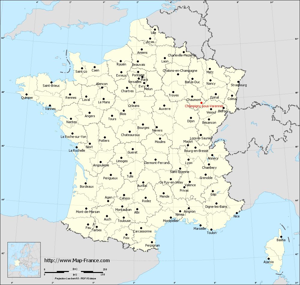
Map of Champigny-sous-Varennes with departments and prefectures
|
Voir la carte of Champigny-sous-Varennes en grand format (1000 x 949)
|
Here is the localization of Champigny-sous-Varennes on the France map of departments in Lambert 93 coordinates. The city of Champigny-sous-Varennes is shown on the map by a red point.
The town of Champigny-sous-Varennes is located in the department of Haute-Marne of the french region Champagne-Ardenne.
The latitude of Champigny-sous-Varennes is 47.867 degrees North.
The longitude of Champigny-sous-Varennes is 5.646 degrees East.
Here the distance between Champigny-sous-Varennes and the biggest cities of France:
Distances are calculated as the crow flies (orthodromic distance)
Distance between Champigny-sous-Varennes and Paris : 267.4 kilometers
Distance between Champigny-sous-Varennes and Marseille : 508.09 kilometers
Distance between Champigny-sous-Varennes and Lyon : 242.12 kilometers
Distance between Champigny-sous-Varennes and Toulouse : 574.82 kilometers
Distance between Champigny-sous-Varennes and Nice : 478.96 kilometers
Distance between Champigny-sous-Varennes and Nantes : 544.54 kilometers
Distance between Champigny-sous-Varennes and Strasbourg : 175.34 kilometers
Distance between Champigny-sous-Varennes and Montpellier : 492.63 kilometers
Distance between Champigny-sous-Varennes and Bordeaux : 583.18 kilometers
Distance between Champigny-sous-Varennes and Lille : 360.05 kilometers
Distance between Champigny-sous-Varennes and Rennes : 545.22 kilometers
Distance between Champigny-sous-Varennes and Reims : 194.84 kilometers
Clic here to see the map of Champigny-sous-Varennes in full screen:
Champigny-sous-Varennes on the map of french departments
|
This administrative map of Champigny-sous-Varennes is reusable and modifiable by making a link to this page of the Map-France.com website or by using the given code :
|
Administrative base maps of Champigny-sous-Varennes
|

See the administrative base map of Champigny-sous-Varennes in full screen (1000 x 949)
|
Small administrative base map of Champigny-sous-Varennes
|
This base map administrative of Champigny-sous-Varennes is reusable and modifiable by making a link to this page of the Map-France.com website or by using the given code :
|
 French Version : http://www.cartesfrance.fr