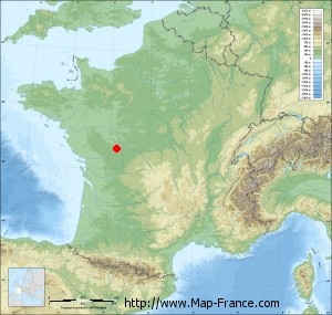
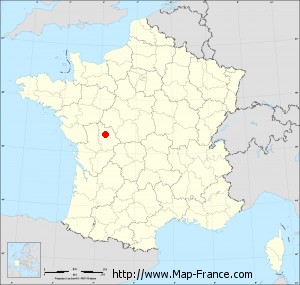
Map of Chasseneuil-du-Poitou with regions and prefectures
|
View the map of Chasseneuil-du-Poitou in full screen (1000 x 949)
|
You will find the location of Chasseneuil-du-Poitou on the map of France of regions in Lambert 93 coordinates. The city of Chasseneuil-du-Poitou is located in the department of Vienne of the french region Poitou-Charentes.
Geographical sexagesimal coordinates / GPS (WGS84):
Latitude: 46° 39' 04'' North
Longitude: 00° 22' 20'' East
Geographical decimal coordinates :
Latitude: 46.651 degrees (46.651° North)
Longitude: 0.376 degrees (0.376° East)
Lambert 93 coordinates :
X: 4 991 hectometers
Y: 66 201 hectometers
Lambert 2 coordinates :
X: 4 497 hectometers
Y: 21 853 hectometers
Below, the geographical coordinates of Poitiers, prefecture of the Vienne department:
Geographical sexagesimal coordinates / GPS (WGS84):
Latitude: 46° 34' 52'' North
Longitude: 00° 20' 07'' East
Geographical decimal coordinates :
Latitude: 46.585 degrees (46.585° North)
Longitude: 0.344 degrees (0.344° East)
Lambert 93 coordinates :
X: 4 960 hectometers
Y: 66 125 hectometers
Lambert 2 coordinates :
X: 4 466 hectometers
Y: 21 776 hectometers
|
This map of Chasseneuil-du-Poitou is reusable and modifiable by making a link to this page of the Map-France.com website or by using the given code :
|
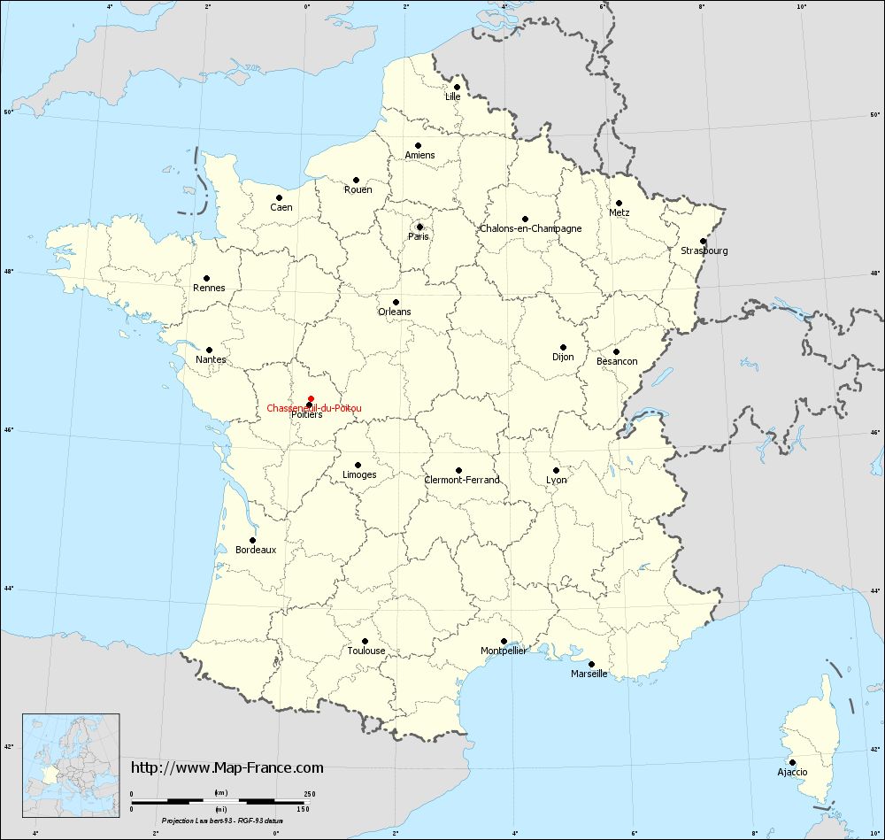
Map of Chasseneuil-du-Poitou with departments and prefectures
|
Voir la carte of Chasseneuil-du-Poitou en grand format (1000 x 949)
|
Here is the localization of Chasseneuil-du-Poitou on the France map of departments in Lambert 93 coordinates. The city of Chasseneuil-du-Poitou is shown on the map by a red point.
The city of Chasseneuil-du-Poitou is located in the department of Vienne of the french region Poitou-Charentes.
The latitude of Chasseneuil-du-Poitou is 46.651 degrees North.
The longitude of Chasseneuil-du-Poitou is 0.376 degrees East.
Here the distance between Chasseneuil-du-Poitou and the biggest cities of France:
Distances are calculated as the crow flies (orthodromic distance)
Distance between Chasseneuil-du-Poitou and Paris : 286.16 kilometers
Distance between Chasseneuil-du-Poitou and Marseille : 542.69 kilometers
Distance between Chasseneuil-du-Poitou and Lyon : 356.79 kilometers
Distance between Chasseneuil-du-Poitou and Toulouse : 349.31 kilometers
Distance between Chasseneuil-du-Poitou and Nice : 630.46 kilometers
Distance between Chasseneuil-du-Poitou and Nantes : 159.44 kilometers
Distance between Chasseneuil-du-Poitou and Strasbourg : 592.63 kilometers
Distance between Chasseneuil-du-Poitou and Montpellier : 435.16 kilometers
Distance between Chasseneuil-du-Poitou and Bordeaux : 214.02 kilometers
Distance between Chasseneuil-du-Poitou and Lille : 483.24 kilometers
Distance between Chasseneuil-du-Poitou and Rennes : 223.87 kilometers
Distance between Chasseneuil-du-Poitou and Reims : 397.2 kilometers
Clic here to see the map of Chasseneuil-du-Poitou in full screen:
Chasseneuil-du-Poitou on the map of french departments
|
This administrative map of Chasseneuil-du-Poitou is reusable and modifiable by making a link to this page of the Map-France.com website or by using the given code :
|
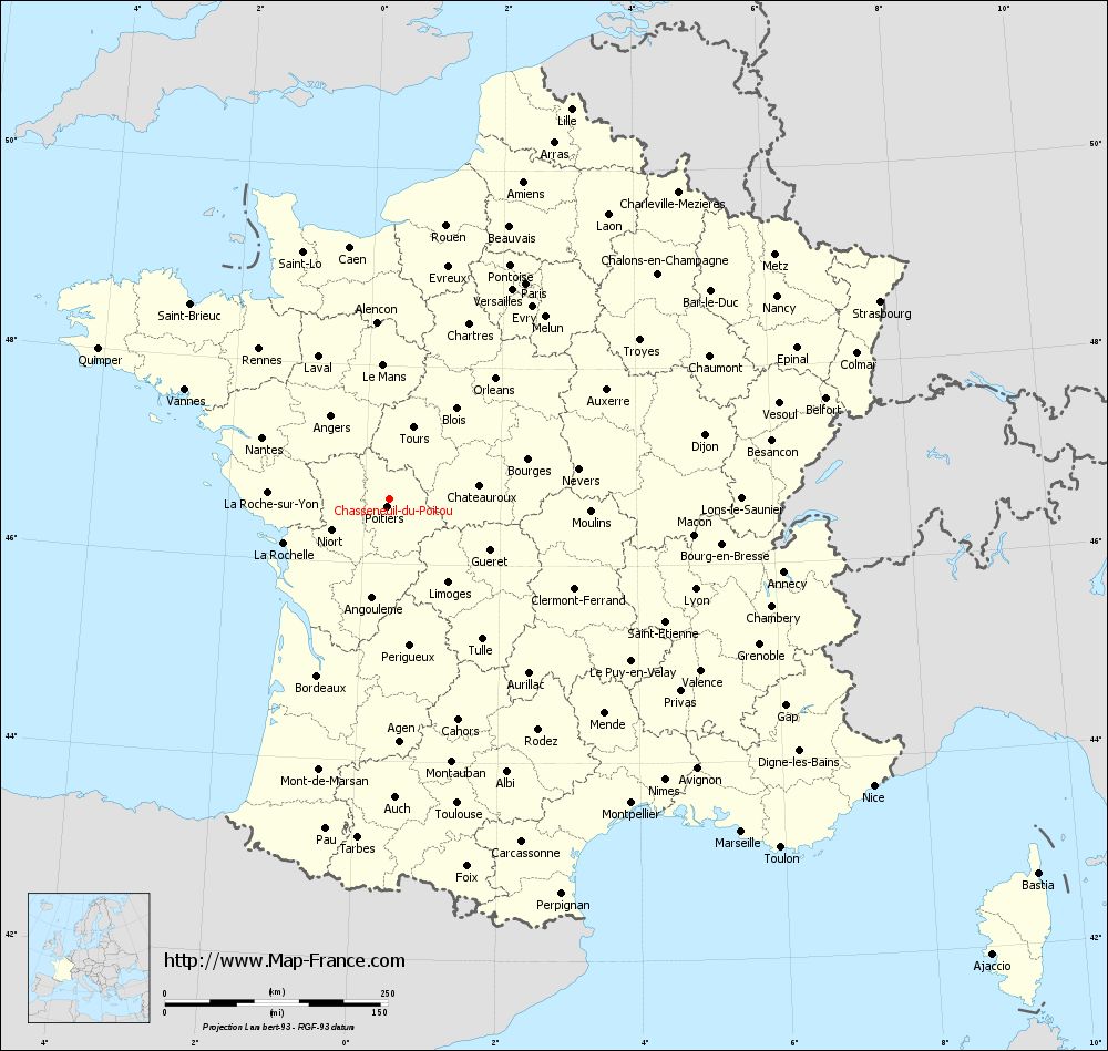
Administrative base maps of Chasseneuil-du-Poitou
|

See the administrative base map of Chasseneuil-du-Poitou in full screen (1000 x 949)
|
Small administrative base map of Chasseneuil-du-Poitou
|
This base map administrative of Chasseneuil-du-Poitou is reusable and modifiable by making a link to this page of the Map-France.com website or by using the given code :
|
 French Version : http://www.cartesfrance.fr