Condé-sur-Vesgre on the relief France map in Lambert 93 coordinates
|
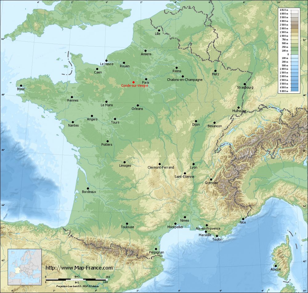
See the map of Condé-sur-Vesgre in full screen (1000 x 949)
|
At left, here is the location of Condé-sur-Vesgre on the relief France map in Lambert 93 coordinates.
Here are the altitudes of Condé-sur-Vesgre :
- Town hall altitude of Condé-sur-Vesgre is 110 meters
- Minimum altitude of Condé-sur-Vesgre is 105 meters
- Maximum altitude of Condé-sur-Vesgre is 175 meters
- Medium altitude of Condé-sur-Vesgre is 140 meters
Here are the altitudes of Versailles, prefecture of Yvelines department:
- Town hall altitude of Versailles is 135 meters
- Minimum altitude of Versailles is 103 meters
- Maximum altitude of Versailles is 180 meters
- Medium altitude of Versailles is 142 meters
Here are the altitudes of the french biggest cities:
Paris : 33 meters
Marseille : 20 meters
Lyon : 237 meters
Toulouse : 146 meters
Nice : 10 meters
Nantes : 20 meters
Strasbourg : 144 meters
Montpellier : 35 meters
Bordeaux : 16 meters
Lille : 20 meters
Rennes : 35 meters
Reims : 83 meters
Click here for the terrain map of Condé-sur-Vesgre in full screen:
Relief map of Condé-sur-Vesgre
|
This relief map of Condé-sur-Vesgre is reusable and modifiable by making a link to this page of the Map-France.com website or by using the given code :
|
Terrain base map of Condé-sur-Vesgre
|

See the terrain base map of Condé-sur-Vesgre in full screen (1000 x 949)
|
Small relief base map of Condé-sur-Vesgre

|
This base map of Condé-sur-Vesgre is reusable and modifiable by making a link to this page of the Map-France.com website or by using the given code :
|
Map of Condé-sur-Vesgre with regions and prefectures
|
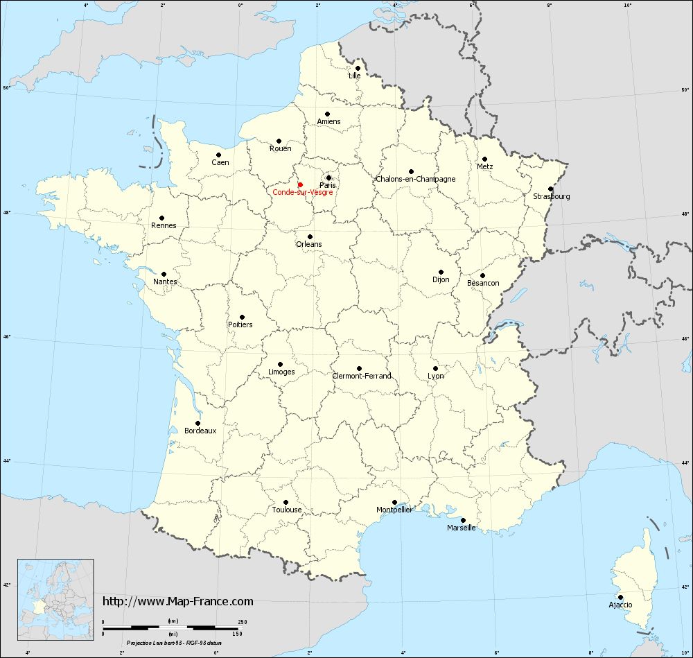
View the map of Condé-sur-Vesgre in full screen (1000 x 949)
|
You will find the location of Condé-sur-Vesgre on the map of France of regions in Lambert 93 coordinates. The town of Condé-sur-Vesgre is located in the department of Yvelines of the french region Île-de-France.
Geographical sexagesimal coordinates / GPS (WGS84):
Latitude: 48° 44' 30'' North
Longitude: 01° 39' 39'' East
Geographical decimal coordinates :
Latitude: 48.742 degrees (48.742° North)
Longitude: 1.661 degrees (1.661° East)
Lambert 93 coordinates :
X: 6 015 hectometers
Y: 68 499 hectometers
Lambert 2 coordinates :
X: 5 503 hectometers
Y: 24 161 hectometers
Below, the geographical coordinates of Versailles, prefecture of the Yvelines department:
Geographical sexagesimal coordinates / GPS (WGS84):
Latitude: 48° 48' 17'' North
Longitude: 02° 08' 03'' East
Geographical decimal coordinates :
Latitude: 48.807 degrees (48.807° North)
Longitude: 2.137 degrees (2.137° East)
Lambert 93 coordinates :
X: 6 364 hectometers
Y: 68 564 hectometers
Lambert 2 coordinates :
X: 5 851 hectometers
Y: 24 229 hectometers
|
This map of Condé-sur-Vesgre is reusable and modifiable by making a link to this page of the Map-France.com website or by using the given code :
|
Map of Condé-sur-Vesgre with departments and prefectures
|
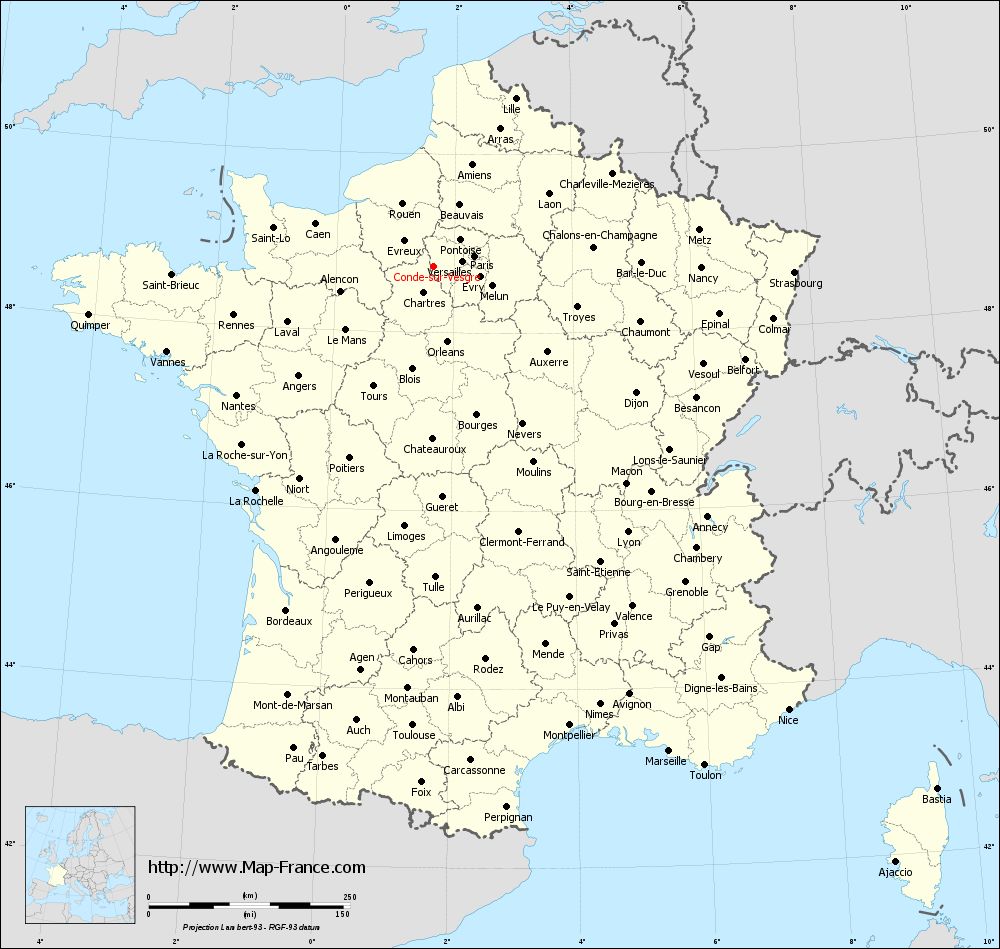
Voir la carte of Condé-sur-Vesgre en grand format (1000 x 949)
|
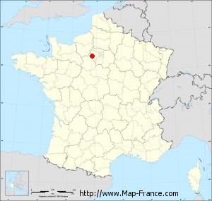
Here is the localization of Condé-sur-Vesgre on the France map of departments in Lambert 93 coordinates. The city of Condé-sur-Vesgre is shown on the map by a red point.
The town of Condé-sur-Vesgre is located in the department of Yvelines of the french region Île-de-France.
The latitude of Condé-sur-Vesgre is 48.742 degrees North.
The longitude of Condé-sur-Vesgre is 1.661 degrees East.
Here the distance between Condé-sur-Vesgre and the biggest cities of France:
Distances are calculated as the crow flies (orthodromic distance)
Distance between Condé-sur-Vesgre and Paris : 51.83 kilometers
Distance between Condé-sur-Vesgre and Marseille : 669.96 kilometers
Distance between Condé-sur-Vesgre and Lyon : 408.68 kilometers
Distance between Condé-sur-Vesgre and Toulouse : 571.53 kilometers
Distance between Condé-sur-Vesgre and Nice : 705.59 kilometers
Distance between Condé-sur-Vesgre and Nantes : 292.85 kilometers
Distance between Condé-sur-Vesgre and Strasbourg : 447.5 kilometers
Distance between Condé-sur-Vesgre and Montpellier : 595.13 kilometers
Distance between Condé-sur-Vesgre and Bordeaux : 465.33 kilometers
Distance between Condé-sur-Vesgre and Lille : 231.96 kilometers
Distance between Condé-sur-Vesgre and Rennes : 256.19 kilometers
Distance between Condé-sur-Vesgre and Reims : 182.05 kilometers
Clic here to see the map of Condé-sur-Vesgre in full screen:
Condé-sur-Vesgre on the map of french departments
|
This administrative map of Condé-sur-Vesgre is reusable and modifiable by making a link to this page of the Map-France.com website or by using the given code :
|
Administrative base maps of Condé-sur-Vesgre
|

See the administrative base map of Condé-sur-Vesgre in full screen (1000 x 949)
|
Small administrative base map of Condé-sur-Vesgre
|
This base map administrative of Condé-sur-Vesgre is reusable and modifiable by making a link to this page of the Map-France.com website or by using the given code :
|
 French Version : http://www.cartesfrance.fr