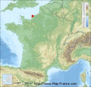
Map of Criquebeuf-en-Caux with regions and prefectures
|
View the map of Criquebeuf-en-Caux in full screen (1000 x 949)
|
You will find the location of Criquebeuf-en-Caux on the map of France of regions in Lambert 93 coordinates. The town of Criquebeuf-en-Caux is located in the department of Seine-Maritime of the french region Haute-Normandie.
Geographical sexagesimal coordinates / GPS (WGS84):
Latitude: 49° 44' 26'' North
Longitude: 00° 19' 58'' East
Geographical decimal coordinates :
Latitude: 49.741 degrees (49.741° North)
Longitude: 0.333 degrees (0.333° East)
Lambert 93 coordinates :
X: 5 076 hectometers
Y: 69 634 hectometers
Lambert 2 coordinates :
X: 4 554 hectometers
Y: 25 289 hectometers
Below, the geographical coordinates of Rouen, prefecture of the Seine-Maritime department:
Geographical sexagesimal coordinates / GPS (WGS84):
Latitude: 49° 26' 35'' North
Longitude: 01° 06' 09'' East
Geographical decimal coordinates :
Latitude: 49.438 degrees (49.438° North)
Longitude: 1.089 degrees (1.089° East)
Lambert 93 coordinates :
X: 5 624 hectometers
Y: 69 287 hectometers
Lambert 2 coordinates :
X: 5 104 hectometers
Y: 24 947 hectometers
|
This map of Criquebeuf-en-Caux is reusable and modifiable by making a link to this page of the Map-France.com website or by using the given code :
|
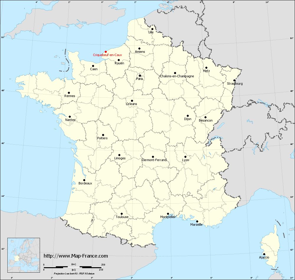
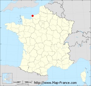
Map of Criquebeuf-en-Caux with departments and prefectures
|
Voir la carte of Criquebeuf-en-Caux en grand format (1000 x 949)
|
Here is the localization of Criquebeuf-en-Caux on the France map of departments in Lambert 93 coordinates. The city of Criquebeuf-en-Caux is shown on the map by a red point.
The town of Criquebeuf-en-Caux is located in the department of Seine-Maritime of the french region Haute-Normandie.
The latitude of Criquebeuf-en-Caux is 49.741 degrees North.
The longitude of Criquebeuf-en-Caux is 0.333 degrees East.
Here the distance between Criquebeuf-en-Caux and the biggest cities of France:
Distances are calculated as the crow flies (orthodromic distance)
Distance between Criquebeuf-en-Caux and Paris : 175.56 kilometers
Distance between Criquebeuf-en-Caux and Marseille : 813.52 kilometers
Distance between Criquebeuf-en-Caux and Lyon : 555.43 kilometers
Distance between Criquebeuf-en-Caux and Toulouse : 687.56 kilometers
Distance between Criquebeuf-en-Caux and Nice : 852.53 kilometers
Distance between Criquebeuf-en-Caux and Nantes : 312.72 kilometers
Distance between Criquebeuf-en-Caux and Strasbourg : 554.13 kilometers
Distance between Criquebeuf-en-Caux and Montpellier : 732.62 kilometers
Distance between Criquebeuf-en-Caux and Bordeaux : 548.45 kilometers
Distance between Criquebeuf-en-Caux and Lille : 216.62 kilometers
Distance between Criquebeuf-en-Caux and Rennes : 233.48 kilometers
Distance between Criquebeuf-en-Caux and Reims : 272.17 kilometers
Clic here to see the map of Criquebeuf-en-Caux in full screen:
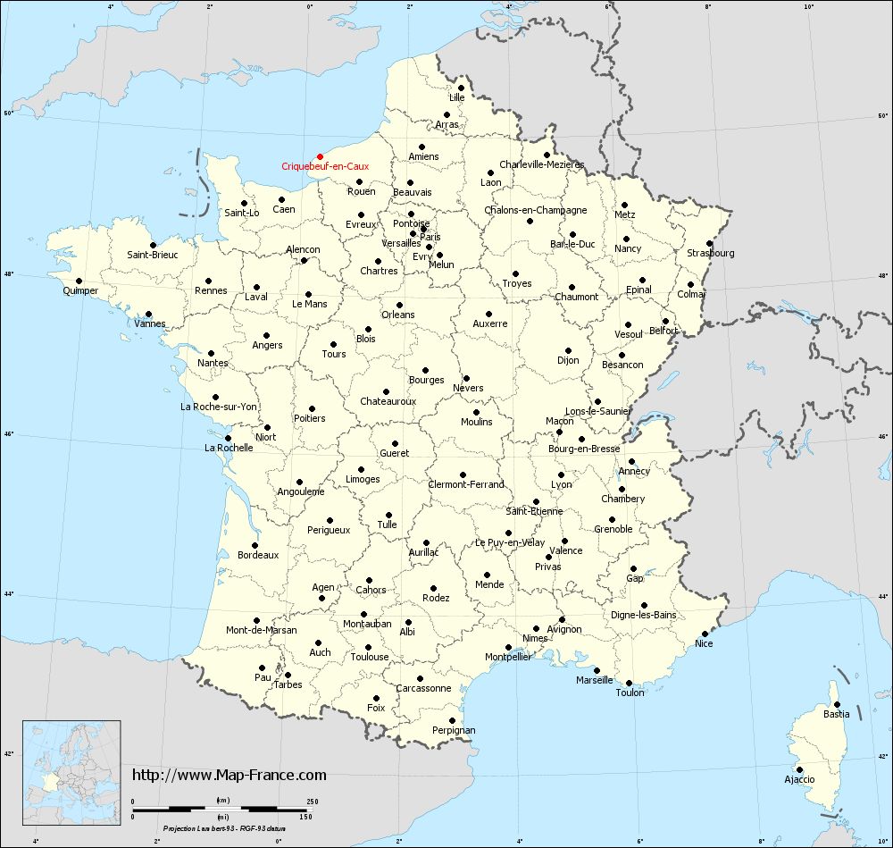
Criquebeuf-en-Caux on the map of french departments
|
This administrative map of Criquebeuf-en-Caux is reusable and modifiable by making a link to this page of the Map-France.com website or by using the given code :
|
Administrative base maps of Criquebeuf-en-Caux
|

See the administrative base map of Criquebeuf-en-Caux in full screen (1000 x 949)
|
Small administrative base map of Criquebeuf-en-Caux
|
This base map administrative of Criquebeuf-en-Caux is reusable and modifiable by making a link to this page of the Map-France.com website or by using the given code :
|
 French Version : http://www.cartesfrance.fr