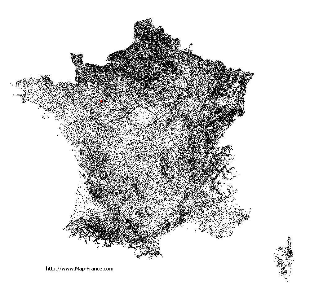
Épineu-le-Chevreuil on the relief France map in Lambert 93 coordinates
|

See the map of Épineu-le-Chevreuil in full screen (1000 x 949)
|
At left, here is the location of Épineu-le-Chevreuil on the relief France map in Lambert 93 coordinates.
Here are the altitudes of Épineu-le-Chevreuil :
- Town hall altitude of Épineu-le-Chevreuil is 90 meters
- Minimum altitude of Épineu-le-Chevreuil is 72 meters
- Maximum altitude of Épineu-le-Chevreuil is 161 meters
- Medium altitude of Épineu-le-Chevreuil is 117 meters
Here are the altitudes of Le Mans, prefecture of Sarthe department:
- Town hall altitude of Le Mans is 50 meters
- Minimum altitude of Le Mans is 38 meters
- Maximum altitude of Le Mans is 134 meters
- Medium altitude of Le Mans is 86 meters
Here are the altitudes of the french biggest cities:
Paris : 33 meters
Marseille : 20 meters
Lyon : 237 meters
Toulouse : 146 meters
Nice : 10 meters
Nantes : 20 meters
Strasbourg : 144 meters
Montpellier : 35 meters
Bordeaux : 16 meters
Lille : 20 meters
Rennes : 35 meters
Reims : 83 meters
Click here for the terrain map of Épineu-le-Chevreuil in full screen:
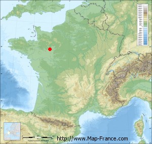
Relief map of Épineu-le-Chevreuil
|
This relief map of Épineu-le-Chevreuil is reusable and modifiable by making a link to this page of the Map-France.com website or by using the given code :
|
Terrain base map of Épineu-le-Chevreuil
|

See the terrain base map of Épineu-le-Chevreuil in full screen (1000 x 949)
|
Small relief base map of Épineu-le-Chevreuil
|
This base map of Épineu-le-Chevreuil is reusable and modifiable by making a link to this page of the Map-France.com website or by using the given code :
|
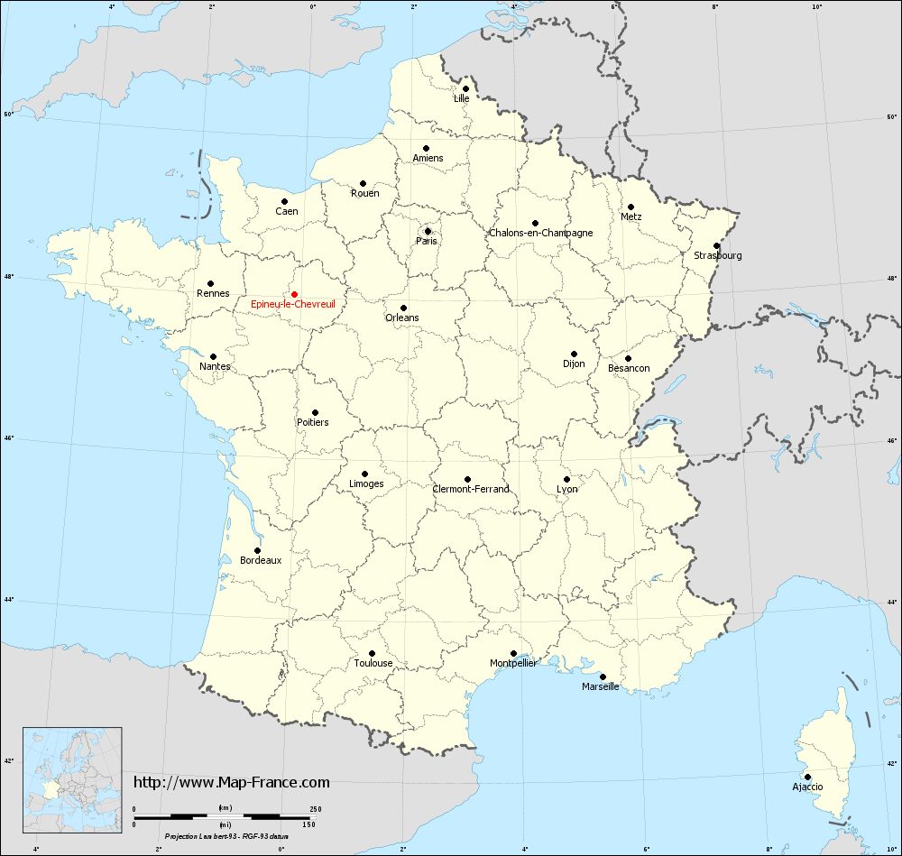
Map of Épineu-le-Chevreuil with regions and prefectures
|
View the map of Épineu-le-Chevreuil in full screen (1000 x 949)
|
You will find the location of Épineu-le-Chevreuil on the map of France of regions in Lambert 93 coordinates. The town of Épineu-le-Chevreuil is located in the department of Sarthe of the french region Pays de la Loire.
Geographical sexagesimal coordinates / GPS (WGS84):
Latitude: 48° 02' 17'' North
Longitude: 00° 06' 57'' West
Geographical decimal coordinates :
Latitude: 48.038 degrees (48.038° North)
Longitude: -0.113 degrees (0.113° West)
Lambert 93 coordinates :
X: 4 679 hectometers
Y: 67 754 hectometers
Lambert 2 coordinates :
X: 4 171 hectometers
Y: 23 405 hectometers
Below, the geographical coordinates of Le Mans, prefecture of the Sarthe department:
Geographical sexagesimal coordinates / GPS (WGS84):
Latitude: 48° 00' 15'' North
Longitude: 00° 11' 49'' East
Geographical decimal coordinates :
Latitude: 47.996 degrees (47.996° North)
Longitude: 0.203 degrees (0.203° East)
Lambert 93 coordinates :
X: 4 910 hectometers
Y: 67 708 hectometers
Lambert 2 coordinates :
X: 4 403 hectometers
Y: 23 360 hectometers
|
This map of Épineu-le-Chevreuil is reusable and modifiable by making a link to this page of the Map-France.com website or by using the given code :
|
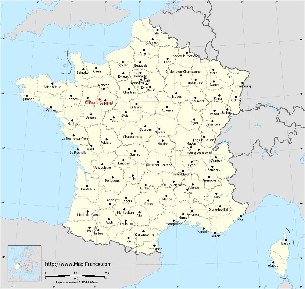
Map of Épineu-le-Chevreuil with departments and prefectures
|
Voir la carte of Épineu-le-Chevreuil en grand format (1000 x 949)
|
Here is the localization of Épineu-le-Chevreuil on the France map of departments in Lambert 93 coordinates. The city of Épineu-le-Chevreuil is shown on the map by a red point.
The town of Épineu-le-Chevreuil is located in the department of Sarthe of the french region Pays de la Loire.
The latitude of Épineu-le-Chevreuil is 48.038 degrees North.
The longitude of Épineu-le-Chevreuil is 0.113 degrees West.
Here the distance between Épineu-le-Chevreuil and the biggest cities of France:
Distances are calculated as the crow flies (orthodromic distance)
Distance between Épineu-le-Chevreuil and Paris : 202.97 kilometers
Distance between Épineu-le-Chevreuil and Marseille : 678.31 kilometers
Distance between Épineu-le-Chevreuil and Lyon : 452.82 kilometers
Distance between Épineu-le-Chevreuil and Toulouse : 507.68 kilometers
Distance between Épineu-le-Chevreuil and Nice : 745.85 kilometers
Distance between Épineu-le-Chevreuil and Nantes : 141.09 kilometers
Distance between Épineu-le-Chevreuil and Strasbourg : 584.4 kilometers
Distance between Épineu-le-Chevreuil and Montpellier : 580.73 kilometers
Distance between Épineu-le-Chevreuil and Bordeaux : 356.71 kilometers
Distance between Épineu-le-Chevreuil and Lille : 367.5 kilometers
Distance between Épineu-le-Chevreuil and Rennes : 116.58 kilometers
Distance between Épineu-le-Chevreuil and Reims : 333.03 kilometers
Clic here to see the map of Épineu-le-Chevreuil in full screen:
Épineu-le-Chevreuil on the map of french departments
|
This administrative map of Épineu-le-Chevreuil is reusable and modifiable by making a link to this page of the Map-France.com website or by using the given code :
|
Administrative base maps of Épineu-le-Chevreuil
|

See the administrative base map of Épineu-le-Chevreuil in full screen (1000 x 949)
|
Small administrative base map of Épineu-le-Chevreuil
|
This base map administrative of Épineu-le-Chevreuil is reusable and modifiable by making a link to this page of the Map-France.com website or by using the given code :
|
 French Version : http://www.cartesfrance.fr