Map of France

Ernestviller photos


Find a town, a zip code,
a department, a region... in France
I like Map-France.com !


Ernestviller pictures


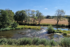
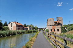
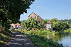
Here are the photos of the town of Ernestviller and nearby towns. Ernestviller is located in the department of Moselle in the region of Lorraine. You will find the satellite map of Ernestviller under these photos.

To see photos of nearby towns of Ernestviller, you can try the following links :
   - Guebenhouse pictures (57510) : town located at 1.81 km
   - Grundviller pictures (57510) : town located at 2.65 km
   - Puttelange-aux-Lacs pictures (57510) : town located at 2.99 km
   - Woustviller pictures (57915) : town located at 3.45 km
   - Loupershouse pictures (57510) : town located at 3.87 km
   - Rémering-lès-Puttelange pictures (57510) : town located at 4.10 km
   - Richeling pictures (57510) : town located at 4.27 km
   - Metzing pictures (57980) : town located at 4.35 km
   - Hundling pictures (57990) : town located at 4.67 km
   - Diebling pictures (57980) : town located at 4.85 km
   - Ippling pictures (57990) : town located at 5.17 km
   - Hambach pictures (57910) : town located at 5.23 km

 - photos of the department prefecture of Moselle : photos of Metz
 - pictures of others cities of Moselle : Moselle


To see Ernestviller from the sky, here is the satellite map of the town of Ernestviller : Ernestviller map.

I like Ernestviller !


Photos of the town of Ernestviller

These photos taken near the town of Ernestviller can be shown in full screen clicking on the thumbnails. Photos are copyrighted by their owners.

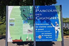
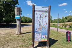
Le Parcours des Cigognes - Photo of Ernestviller
Le Parcours des Cigognes

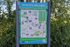
Itinéraire des Lacs - Photo of Ernestviller
Itinéraire des Lacs

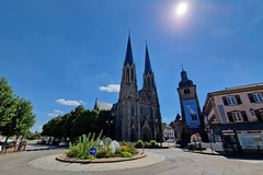
Sarralbe - Photo of Ernestviller
Sarralbe

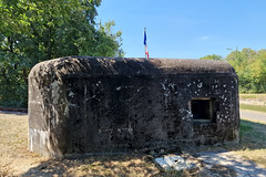
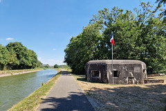
Military bunker - Photo of Ernestviller
Military bunker

The Saar river near Dieding - Photo of Ernestviller
The Saar river near Dieding

Approaching Sarreguemines - Photo of Ernestviller
Approaching Sarreguemines

Sarreguemines - Photo of Ernestviller
Sarreguemines

Military bunker - Photo of Ernestviller
Military bunker

Le Sentier du Héron - Photo of Ernestviller
Le Sentier du Héron

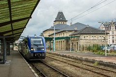
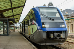
Sarreguemines station - Photo of Ernestviller
Sarreguemines station

The whale - Photo of Ernestviller
The whale

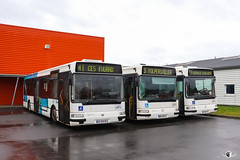
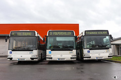
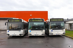
CABUS / Renault Agora S n°208, Irisbus Agora S n°685 et Irisbus Agora S n°257 - Photo of Ernestviller
CABUS / Renault Agora S n°208, Irisbus Agora S n°685 et Irisbus Agora S n°257

CABUS / Renault Agora S n°208, Irisbus Agora S n°685 et Irisbus Agora S n°257 - Photo of Ernestviller
CABUS / Renault Agora S n°208, Irisbus Agora S n°685 et Irisbus Agora S n°257

CABUS / Renault Agora S n°208, Irisbus Agora S n°685 et Irisbus Agora S n°257 - Photo of Ernestviller
CABUS / Renault Agora S n°208, Irisbus Agora S n°685 et Irisbus Agora S n°257


Ernestviller from the sky


Old photos of the town of Ernestviller

These photos taken near the town of Ernestviller can be shown in full screen clicking on the thumbnails. Photos are copyrighted by their owners.


Other maps, hotels and towns in france


Find another town, zip code, department, region, ...


Quick links Ernestviller :


Back to the menus Map of France :


Make a link to this page of Ernestviller with the following code :


Map of France | Regions | Departments | Cities | Partners | Terms | Contact