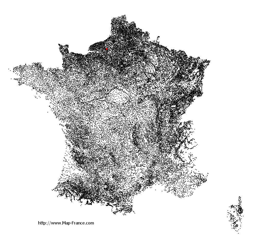
Map of Estouteville-Écalles with regions and prefectures
|
View the map of Estouteville-Écalles in full screen (1000 x 949)
|
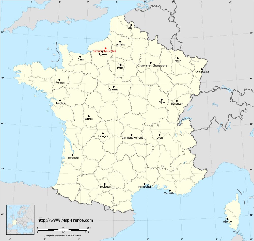
You will find the location of Estouteville-Écalles on the map of France of regions in Lambert 93 coordinates. The town of Estouteville-Écalles is located in the department of Seine-Maritime of the french region Haute-Normandie.
Geographical sexagesimal coordinates / GPS (WGS84):
Latitude: 49° 35' 28'' North
Longitude: 01° 19' 09'' East
Geographical decimal coordinates :
Latitude: 49.591 degrees (49.591° North)
Longitude: 1.317 degrees (1.317° East)
Lambert 93 coordinates :
X: 5 784 hectometers
Y: 69 448 hectometers
Lambert 2 coordinates :
X: 5 264 hectometers
Y: 25 109 hectometers
Below, the geographical coordinates of Rouen, prefecture of the Seine-Maritime department:
Geographical sexagesimal coordinates / GPS (WGS84):
Latitude: 49° 26' 35'' North
Longitude: 01° 06' 09'' East
Geographical decimal coordinates :
Latitude: 49.438 degrees (49.438° North)
Longitude: 1.089 degrees (1.089° East)
Lambert 93 coordinates :
X: 5 624 hectometers
Y: 69 287 hectometers
Lambert 2 coordinates :
X: 5 104 hectometers
Y: 24 947 hectometers
|
This map of Estouteville-Écalles is reusable and modifiable by making a link to this page of the Map-France.com website or by using the given code :
|
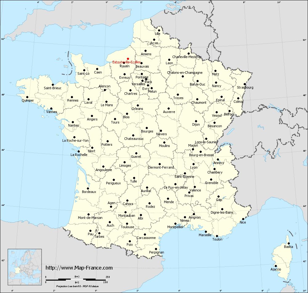
Map of Estouteville-Écalles with departments and prefectures
|
Voir la carte of Estouteville-Écalles en grand format (1000 x 949)
|
Here is the localization of Estouteville-Écalles on the France map of departments in Lambert 93 coordinates. The city of Estouteville-Écalles is shown on the map by a red point.
The town of Estouteville-Écalles is located in the department of Seine-Maritime of the french region Haute-Normandie.
The latitude of Estouteville-Écalles is 49.591 degrees North.
The longitude of Estouteville-Écalles is 1.317 degrees East.
Here the distance between Estouteville-Écalles and the biggest cities of France:
Distances are calculated as the crow flies (orthodromic distance)
Distance between Estouteville-Écalles and Paris : 110.18 kilometers
Distance between Estouteville-Écalles and Marseille : 765.58 kilometers
Distance between Estouteville-Écalles and Lyon : 500.26 kilometers
Distance between Estouteville-Écalles and Toulouse : 665.67 kilometers
Distance between Estouteville-Écalles and Nice : 795.08 kilometers
Distance between Estouteville-Écalles and Nantes : 337.99 kilometers
Distance between Estouteville-Écalles and Strasbourg : 481.47 kilometers
Distance between Estouteville-Écalles and Montpellier : 692.56 kilometers
Distance between Estouteville-Écalles and Bordeaux : 546.42 kilometers
Distance between Estouteville-Écalles and Lille : 168.62 kilometers
Distance between Estouteville-Écalles and Rennes : 274.15 kilometers
Distance between Estouteville-Écalles and Reims : 199.57 kilometers
Clic here to see the map of Estouteville-Écalles in full screen:
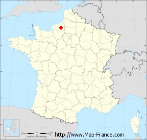
Estouteville-Écalles on the map of french departments
|
This administrative map of Estouteville-Écalles is reusable and modifiable by making a link to this page of the Map-France.com website or by using the given code :
|
Administrative base maps of Estouteville-Écalles
|

See the administrative base map of Estouteville-Écalles in full screen (1000 x 949)
|
Small administrative base map of Estouteville-Écalles
|
This base map administrative of Estouteville-Écalles is reusable and modifiable by making a link to this page of the Map-France.com website or by using the given code :
|
 French Version : http://www.cartesfrance.fr