Map of France

Eth photos


Find a town, a zip code,
a department, a region... in France
I like Map-France.com !


Eth pictures


Here are the photos of the town of Eth and nearby towns. Eth is located in the department of Nord in the region of Nord-Pas-de-Calais. You will find the satellite map of Eth under these photos.

To see photos of nearby towns of Eth, you can try the following links :
   - Bry pictures (59144) : town located at 1.00 km
   - Wargnies-le-Grand pictures (59144) : town located at 1.91 km
   - Sebourg pictures (59990) : town located at 2.66 km
   - Jenlain pictures (59144) : town located at 3.28 km
   - Wargnies-le-Petit pictures (59144) : town located at 3.40 km
   - La Flamengrie pictures (59570) : town located at 3.50 km
   - Curgies pictures (59990) : town located at 4.67 km
   - Rombies-et-Marchipont pictures (59990) : town located at 4.73 km
   - Preux-au-Sart pictures (59144) : town located at 4.85 km
   - Gussignies pictures (59570) : town located at 5.10 km
   - Bettrechies pictures (59570) : town located at 5.12 km
   - Villers-Pol pictures (59530) : town located at 5.82 km

 - photos of the department prefecture of Nord : photos of Lille
 - pictures of others cities of Nord : Nord


To see Eth from the sky, here is the satellite map of the town of Eth : Eth map.

I like Eth !


Photos of the town of Eth

These photos taken near the town of Eth can be shown in full screen clicking on the thumbnails. Photos are copyrighted by their owners.

IMG_20240713_213013 - Photo of Eth
IMG_20240713_213013

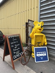
Secondhand shop, near Obies - Photo of Eth
Secondhand shop, near Obies

Col du Long Buisson, 145m - Photo of Eth
Col du Long Buisson, 145m

Level crossing and trackbed near Bavay - Photo of Eth
Level crossing and trackbed near Bavay

Level crossing and trackbed near Bavay - Photo of Eth
Level crossing and trackbed near Bavay

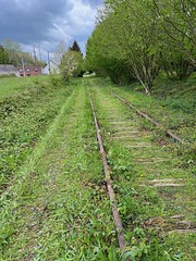
Trackbed near Bavay - Photo of Eth
Trackbed near Bavay

Trackbed near Bavay, plants growing around the track - Photo of Eth
Trackbed near Bavay, plants growing around the track

La Roue d-Or, and the Birdy - Photo of Eth
La Roue d-Or, and the Birdy

Brasseurs de France sign, Gussignies - Photo of Eth
Brasseurs de France sign, Gussignies

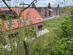
Roisin-Autreppe - house now built on the track bed - Photo of Eth
Roisin-Autreppe - house now built on the track bed

Roisin-Autreppe old station building - Photo of Eth
Roisin-Autreppe old station building

Trackbed near Roisin-Autreppe - Photo of Eth
Trackbed near Roisin-Autreppe

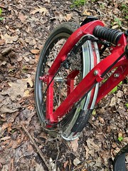
Birdy wheel covered in mud - Photo of Eth
Birdy wheel covered in mud

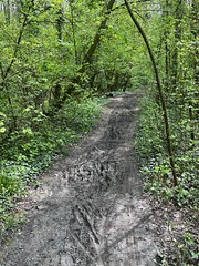
Muddy former track bed - Photo of Eth
Muddy former track bed


Eth from the sky


Old photos of the town of Eth

These photos taken near the town of Eth can be shown in full screen clicking on the thumbnails. Photos are copyrighted by their owners.


Other maps, hotels and towns in france


Find another town, zip code, department, region, ...


Quick links Eth :


Back to the menus Map of France :


Make a link to this page of Eth with the following code :


Map of France | Regions | Departments | Cities | Partners | Terms | Contact