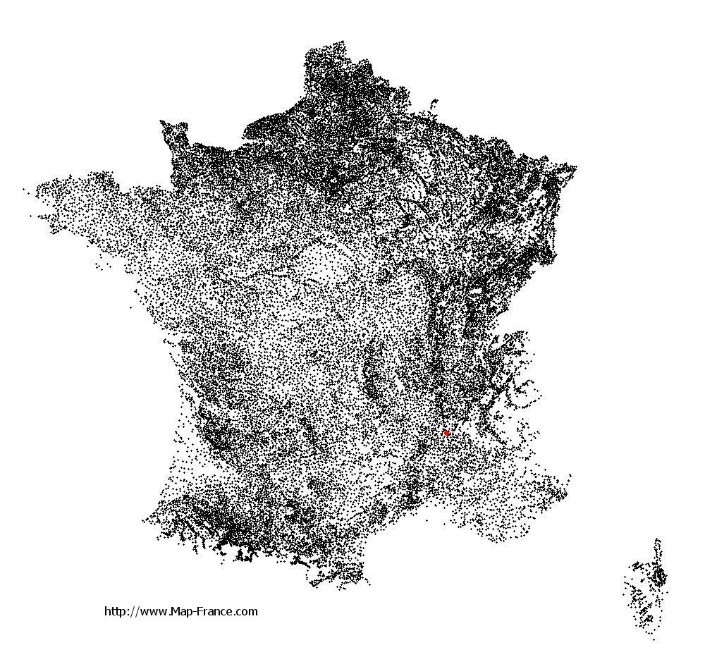
Étoile-sur-Rhône on the relief France map in Lambert 93 coordinates
|

See the map of Étoile-sur-Rhône in full screen (1000 x 949)
|
At left, here is the location of Étoile-sur-Rhône on the relief France map in Lambert 93 coordinates.
Here are the altitudes of Étoile-sur-Rhône :
- Town hall altitude of Étoile-sur-Rhône is 150 meters
- Minimum altitude of Étoile-sur-Rhône is 93 meters
- Maximum altitude of Étoile-sur-Rhône is 241 meters
- Medium altitude of Étoile-sur-Rhône is 167 meters
Here are the altitudes of Valence, prefecture of Drôme department:
- Town hall altitude of Valence is 126 meters
- Minimum altitude of Valence is 106 meters
- Maximum altitude of Valence is 191 meters
- Medium altitude of Valence is 149 meters
Here are the altitudes of the french biggest cities:
Paris : 33 meters
Marseille : 20 meters
Lyon : 237 meters
Toulouse : 146 meters
Nice : 10 meters
Nantes : 20 meters
Strasbourg : 144 meters
Montpellier : 35 meters
Bordeaux : 16 meters
Lille : 20 meters
Rennes : 35 meters
Reims : 83 meters
Click here for the terrain map of Étoile-sur-Rhône in full screen:
Relief map of Étoile-sur-Rhône
|
This relief map of Étoile-sur-Rhône is reusable and modifiable by making a link to this page of the Map-France.com website or by using the given code :
|
Terrain base map of Étoile-sur-Rhône
|

See the terrain base map of Étoile-sur-Rhône in full screen (1000 x 949)
|
Small relief base map of Étoile-sur-Rhône

|
This base map of Étoile-sur-Rhône is reusable and modifiable by making a link to this page of the Map-France.com website or by using the given code :
|
Map of Étoile-sur-Rhône with regions and prefectures
|
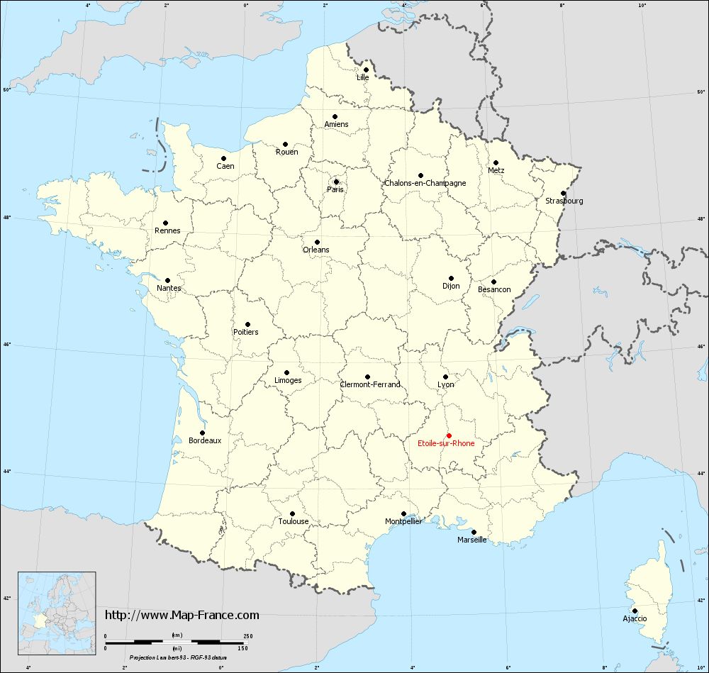
View the map of Étoile-sur-Rhône in full screen (1000 x 949)
|
You will find the location of Étoile-sur-Rhône on the map of France of regions in Lambert 93 coordinates. The city of Étoile-sur-Rhône is located in the department of Drôme of the french region Rhône-Alpes.
Geographical sexagesimal coordinates / GPS (WGS84):
Latitude: 44° 50' 13'' North
Longitude: 04° 53' 38'' East
Geographical decimal coordinates :
Latitude: 44.836 degrees (44.836° North)
Longitude: 4.893 degrees (4.893° East)
Lambert 93 coordinates :
X: 8 496 hectometers
Y: 64 171 hectometers
Lambert 2 coordinates :
X: 8 023 hectometers
Y: 19 851 hectometers
Below, the geographical coordinates of Valence, prefecture of the Drôme department:
Geographical sexagesimal coordinates / GPS (WGS84):
Latitude: 44° 55' 57'' North
Longitude: 04° 53' 27'' East
Geographical decimal coordinates :
Latitude: 44.927 degrees (44.927° North)
Longitude: 4.895 degrees (4.895° East)
Lambert 93 coordinates :
X: 8 492 hectometers
Y: 64 277 hectometers
Lambert 2 coordinates :
X: 8 017 hectometers
Y: 19 957 hectometers
|
This map of Étoile-sur-Rhône is reusable and modifiable by making a link to this page of the Map-France.com website or by using the given code :
|
Map of Étoile-sur-Rhône with departments and prefectures
|
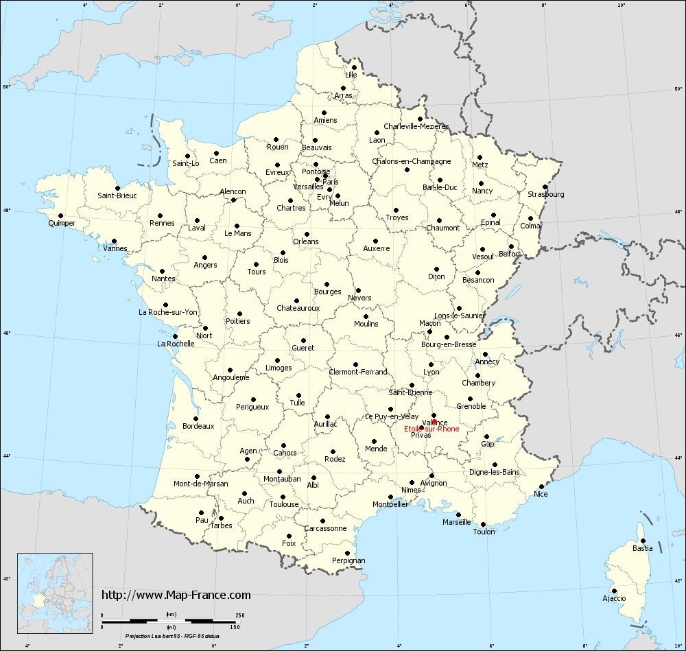
Voir la carte of Étoile-sur-Rhône en grand format (1000 x 949)
|
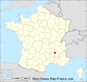
Here is the localization of Étoile-sur-Rhône on the France map of departments in Lambert 93 coordinates. The city of Étoile-sur-Rhône is shown on the map by a red point.
The city of Étoile-sur-Rhône is located in the department of Drôme of the french region Rhône-Alpes.
The latitude of Étoile-sur-Rhône is 44.836 degrees North.
The longitude of Étoile-sur-Rhône is 4.893 degrees East.
Here the distance between Étoile-sur-Rhône and the biggest cities of France:
Distances are calculated as the crow flies (orthodromic distance)
Distance between Étoile-sur-Rhône and Paris : 487.16 kilometers
Distance between Étoile-sur-Rhône and Marseille : 175.7 kilometers
Distance between Étoile-sur-Rhône and Lyon : 102.69 kilometers
Distance between Étoile-sur-Rhône and Toulouse : 306.58 kilometers
Distance between Étoile-sur-Rhône and Nice : 226.49 kilometers
Distance between Étoile-sur-Rhône and Nantes : 563.14 kilometers
Distance between Étoile-sur-Rhône and Strasbourg : 470.01 kilometers
Distance between Étoile-sur-Rhône and Montpellier : 158.67 kilometers
Distance between Étoile-sur-Rhône and Bordeaux : 430.69 kilometers
Distance between Étoile-sur-Rhône and Lille : 658.09 kilometers
Distance between Étoile-sur-Rhône and Rennes : 620.2 kilometers
Distance between Étoile-sur-Rhône and Reims : 495.58 kilometers
Clic here to see the map of Étoile-sur-Rhône in full screen:
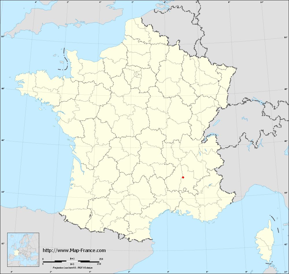
Étoile-sur-Rhône on the map of french departments
|
This administrative map of Étoile-sur-Rhône is reusable and modifiable by making a link to this page of the Map-France.com website or by using the given code :
|
Administrative base maps of Étoile-sur-Rhône
|
See the administrative base map of Étoile-sur-Rhône in full screen (1000 x 949)
|
Small administrative base map of Étoile-sur-Rhône
|
This base map administrative of Étoile-sur-Rhône is reusable and modifiable by making a link to this page of the Map-France.com website or by using the given code :
|
 French Version : http://www.cartesfrance.fr