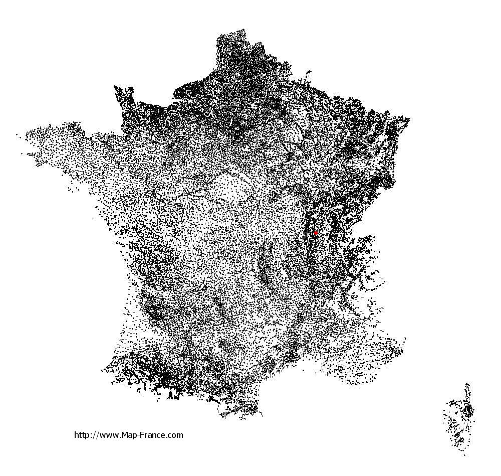
Farges-lès-Mâcon on the relief France map in Lambert 93 coordinates
|

See the map of Farges-lès-Mâcon in full screen (1000 x 949)
|
At left, here is the location of Farges-lès-Mâcon on the relief France map in Lambert 93 coordinates.
Here are the altitudes of Farges-lès-Mâcon :
- Town hall altitude of Farges-lès-Mâcon is 220 meters
- Minimum altitude of Farges-lès-Mâcon is 168 meters
- Maximum altitude of Farges-lès-Mâcon is 322 meters
- Medium altitude of Farges-lès-Mâcon is 245 meters
Here are the altitudes of Mâcon, prefecture of Saône-et-Loire department:
- Town hall altitude of Mâcon is 190 meters
- Minimum altitude of Mâcon is 167 meters
- Maximum altitude of Mâcon is 347 meters
- Medium altitude of Mâcon is 257 meters
Here are the altitudes of the french biggest cities:
Paris : 33 meters
Marseille : 20 meters
Lyon : 237 meters
Toulouse : 146 meters
Nice : 10 meters
Nantes : 20 meters
Strasbourg : 144 meters
Montpellier : 35 meters
Bordeaux : 16 meters
Lille : 20 meters
Rennes : 35 meters
Reims : 83 meters
Click here for the terrain map of Farges-lès-Mâcon in full screen:
Relief map of Farges-lès-Mâcon
|
This relief map of Farges-lès-Mâcon is reusable and modifiable by making a link to this page of the Map-France.com website or by using the given code :
|
Terrain base map of Farges-lès-Mâcon
|

See the terrain base map of Farges-lès-Mâcon in full screen (1000 x 949)
|
Small relief base map of Farges-lès-Mâcon

|
This base map of Farges-lès-Mâcon is reusable and modifiable by making a link to this page of the Map-France.com website or by using the given code :
|
Map of Farges-lès-Mâcon with regions and prefectures
|
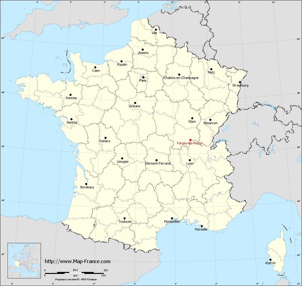
View the map of Farges-lès-Mâcon in full screen (1000 x 949)
|
You will find the location of Farges-lès-Mâcon on the map of France of regions in Lambert 93 coordinates. The town of Farges-lès-Mâcon is located in the department of Saône-et-Loire of the french region Bourgogne.
Geographical sexagesimal coordinates / GPS (WGS84):
Latitude: 46° 30' 43'' North
Longitude: 04° 53' 60'' East
Geographical decimal coordinates :
Latitude: 46.511 degrees (46.511° North)
Longitude: 4.902 degrees (4.902° East)
Lambert 93 coordinates :
X: 8 457 hectometers
Y: 66 031 hectometers
Lambert 2 coordinates :
X: 7 967 hectometers
Y: 21 712 hectometers
Below, the geographical coordinates of Mâcon, prefecture of the Saône-et-Loire department:
Geographical sexagesimal coordinates / GPS (WGS84):
Latitude: 46° 18' 24'' North
Longitude: 04° 49' 55'' East
Geographical decimal coordinates :
Latitude: 46.308 degrees (46.308° North)
Longitude: 4.831 degrees (4.831° East)
Lambert 93 coordinates :
X: 8 410 hectometers
Y: 65 802 hectometers
Lambert 2 coordinates :
X: 7 922 hectometers
Y: 21 482 hectometers
|
This map of Farges-lès-Mâcon is reusable and modifiable by making a link to this page of the Map-France.com website or by using the given code :
|
Map of Farges-lès-Mâcon with departments and prefectures
|
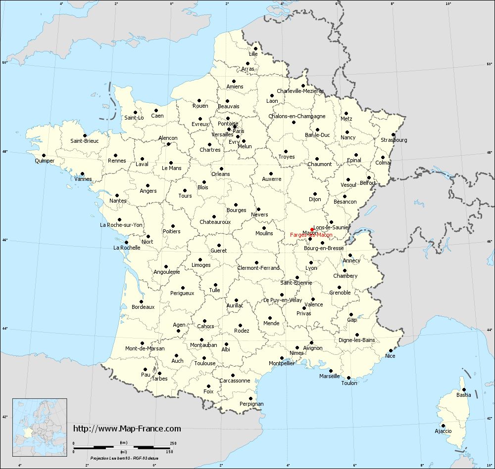
Voir la carte of Farges-lès-Mâcon en grand format (1000 x 949)
|
Here is the localization of Farges-lès-Mâcon on the France map of departments in Lambert 93 coordinates. The city of Farges-lès-Mâcon is shown on the map by a red point.
The town of Farges-lès-Mâcon is located in the department of Saône-et-Loire of the french region Bourgogne.
The latitude of Farges-lès-Mâcon is 46.511 degrees North.
The longitude of Farges-lès-Mâcon is 4.902 degrees East.
Here the distance between Farges-lès-Mâcon and the biggest cities of France:
Distances are calculated as the crow flies (orthodromic distance)
Distance between Farges-lès-Mâcon and Paris : 323.56 kilometers
Distance between Farges-lès-Mâcon and Marseille : 359.16 kilometers
Distance between Farges-lès-Mâcon and Lyon : 83.6 kilometers
Distance between Farges-lès-Mâcon and Toulouse : 421.79 kilometers
Distance between Farges-lès-Mâcon and Nice : 362.41 kilometers
Distance between Farges-lès-Mâcon and Nantes : 496.53 kilometers
Distance between Farges-lès-Mâcon and Strasbourg : 314.43 kilometers
Distance between Farges-lès-Mâcon and Montpellier : 332.35 kilometers
Distance between Farges-lès-Mâcon and Bordeaux : 463.65 kilometers
Distance between Farges-lès-Mâcon and Lille : 477.35 kilometers
Distance between Farges-lès-Mâcon and Rennes : 526.43 kilometers
Distance between Farges-lès-Mâcon and Reims : 312.04 kilometers
Clic here to see the map of Farges-lès-Mâcon in full screen:
Farges-lès-Mâcon on the map of french departments
|
This administrative map of Farges-lès-Mâcon is reusable and modifiable by making a link to this page of the Map-France.com website or by using the given code :
|
Administrative base maps of Farges-lès-Mâcon
|

See the administrative base map of Farges-lès-Mâcon in full screen (1000 x 949)
|
Small administrative base map of Farges-lès-Mâcon
|
This base map administrative of Farges-lès-Mâcon is reusable and modifiable by making a link to this page of the Map-France.com website or by using the given code :
|
 French Version : http://www.cartesfrance.fr