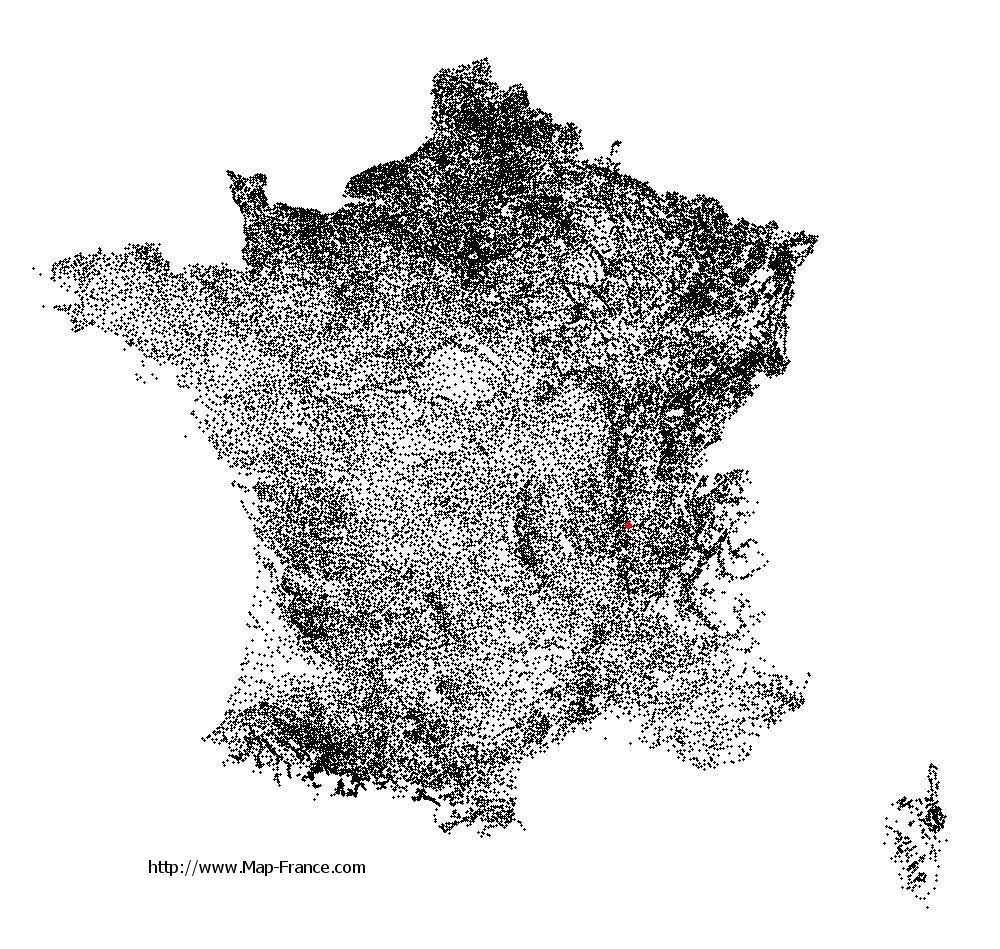
Fontaines-sur-Saône on the relief France map in Lambert 93 coordinates
|

See the map of Fontaines-sur-Saône in full screen (1000 x 949)
|
At left, here is the location of Fontaines-sur-Saône on the relief France map in Lambert 93 coordinates.
Here are the altitudes of Fontaines-sur-Saône :
- Town hall altitude of Fontaines-sur-Saône is 170 meters
- Minimum altitude of Fontaines-sur-Saône is 166 meters
- Maximum altitude of Fontaines-sur-Saône is 270 meters
- Medium altitude of Fontaines-sur-Saône is 218 meters
Here are the altitudes of Lyon, prefecture of Rhône department:
- Town hall altitude of Lyon is 166 meters
- Minimum altitude of Lyon is 162 meters
- Maximum altitude of Lyon is 312 meters
- Medium altitude of Lyon is 237 meters
Here are the altitudes of the french biggest cities:
Paris : 33 meters
Marseille : 20 meters
Lyon : 237 meters
Toulouse : 146 meters
Nice : 10 meters
Nantes : 20 meters
Strasbourg : 144 meters
Montpellier : 35 meters
Bordeaux : 16 meters
Lille : 20 meters
Rennes : 35 meters
Reims : 83 meters
Click here for the terrain map of Fontaines-sur-Saône in full screen:
Relief map of Fontaines-sur-Saône
|
This relief map of Fontaines-sur-Saône is reusable and modifiable by making a link to this page of the Map-France.com website or by using the given code :
|
Terrain base map of Fontaines-sur-Saône
|

See the terrain base map of Fontaines-sur-Saône in full screen (1000 x 949)
|
Small relief base map of Fontaines-sur-Saône

|
This base map of Fontaines-sur-Saône is reusable and modifiable by making a link to this page of the Map-France.com website or by using the given code :
|
Map of Fontaines-sur-Saône with regions and prefectures
|
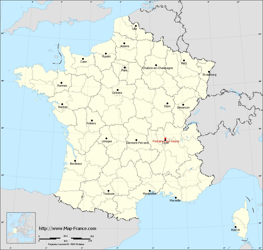
View the map of Fontaines-sur-Saône in full screen (1000 x 949)
|
You will find the location of Fontaines-sur-Saône on the map of France of regions in Lambert 93 coordinates. The city of Fontaines-sur-Saône is located in the department of Rhône of the french region Rhône-Alpes.
Geographical sexagesimal coordinates / GPS (WGS84):
Latitude: 45° 50' 09'' North
Longitude: 04° 50' 42'' East
Geographical decimal coordinates :
Latitude: 45.834 degrees (45.834° North)
Longitude: 4.849 degrees (4.849° East)
Lambert 93 coordinates :
X: 8 432 hectometers
Y: 65 279 hectometers
Lambert 2 coordinates :
X: 7 949 hectometers
Y: 20 959 hectometers
Below, the geographical coordinates of Lyon, prefecture of the Rhône department:
Geographical sexagesimal coordinates / GPS (WGS84):
Latitude: 45° 45' 32'' North
Longitude: 04° 50' 29'' East
Geographical decimal coordinates :
Latitude: 45.76 degrees (45.76° North)
Longitude: 4.835 degrees (4.835° East)
Lambert 93 coordinates :
X: 8 431 hectometers
Y: 65 194 hectometers
Lambert 2 coordinates :
X: 7 948 hectometers
Y: 20 874 hectometers
|
This map of Fontaines-sur-Saône is reusable and modifiable by making a link to this page of the Map-France.com website or by using the given code :
|
Map of Fontaines-sur-Saône with departments and prefectures
|
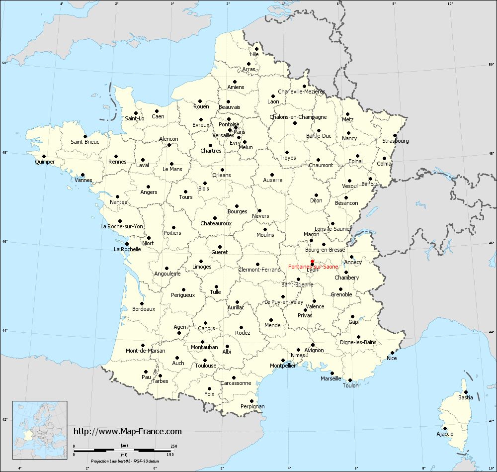
Voir la carte of Fontaines-sur-Saône en grand format (1000 x 949)
|
Here is the localization of Fontaines-sur-Saône on the France map of departments in Lambert 93 coordinates. The city of Fontaines-sur-Saône is shown on the map by a red point.
The city of Fontaines-sur-Saône is located in the department of Rhône of the french region Rhône-Alpes.
The latitude of Fontaines-sur-Saône is 45.834 degrees North.
The longitude of Fontaines-sur-Saône is 4.849 degrees East.
Here the distance between Fontaines-sur-Saône and the biggest cities of France:
Distances are calculated as the crow flies (orthodromic distance)
Distance between Fontaines-sur-Saône and Paris : 385.39 kilometers
Distance between Fontaines-sur-Saône and Marseille : 285.22 kilometers
Distance between Fontaines-sur-Saône and Lyon : 8.36 kilometers
Distance between Fontaines-sur-Saône and Toulouse : 365.49 kilometers
Distance between Fontaines-sur-Saône and Nice : 303.54 kilometers
Distance between Fontaines-sur-Saône and Nantes : 512.88 kilometers
Distance between Fontaines-sur-Saône and Strasbourg : 376.1 kilometers
Distance between Fontaines-sur-Saône and Montpellier : 258.96 kilometers
Distance between Fontaines-sur-Saône and Bordeaux : 437.58 kilometers
Distance between Fontaines-sur-Saône and Lille : 549.04 kilometers
Distance between Fontaines-sur-Saône and Rennes : 555.47 kilometers
Distance between Fontaines-sur-Saône and Reims : 385.29 kilometers
Clic here to see the map of Fontaines-sur-Saône in full screen:
Fontaines-sur-Saône on the map of french departments
|
This administrative map of Fontaines-sur-Saône is reusable and modifiable by making a link to this page of the Map-France.com website or by using the given code :
|
Administrative base maps of Fontaines-sur-Saône
|

See the administrative base map of Fontaines-sur-Saône in full screen (1000 x 949)
|
Small administrative base map of Fontaines-sur-Saône
|
This base map administrative of Fontaines-sur-Saône is reusable and modifiable by making a link to this page of the Map-France.com website or by using the given code :
|
 French Version : http://www.cartesfrance.fr