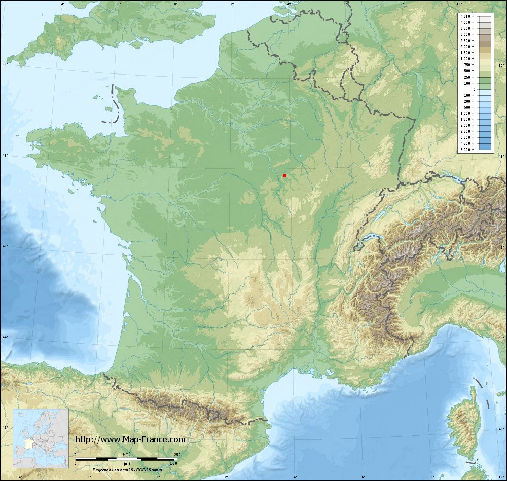
Fontenay-près-Chablis on the relief France map in Lambert 93 coordinates
|

See the map of Fontenay-près-Chablis in full screen (1000 x 949)
|
At left, here is the location of Fontenay-près-Chablis on the relief France map in Lambert 93 coordinates.
Here are the altitudes of Fontenay-près-Chablis :
- Town hall altitude of Fontenay-près-Chablis is 170 meters
- Minimum altitude of Fontenay-près-Chablis is 143 meters
- Maximum altitude of Fontenay-près-Chablis is 257 meters
- Medium altitude of Fontenay-près-Chablis is 200 meters
Here are the altitudes of Auxerre, prefecture of Yonne department:
- Town hall altitude of Auxerre is 120 meters
- Minimum altitude of Auxerre is 93 meters
- Maximum altitude of Auxerre is 217 meters
- Medium altitude of Auxerre is 155 meters
Here are the altitudes of the french biggest cities:
Paris : 33 meters
Marseille : 20 meters
Lyon : 237 meters
Toulouse : 146 meters
Nice : 10 meters
Nantes : 20 meters
Strasbourg : 144 meters
Montpellier : 35 meters
Bordeaux : 16 meters
Lille : 20 meters
Rennes : 35 meters
Reims : 83 meters
Click here for the terrain map of Fontenay-près-Chablis in full screen:
Relief map of Fontenay-près-Chablis
|
This relief map of Fontenay-près-Chablis is reusable and modifiable by making a link to this page of the Map-France.com website or by using the given code :
|
Terrain base map of Fontenay-près-Chablis
|
See the terrain base map of Fontenay-près-Chablis in full screen (1000 x 949)
|
Small relief base map of Fontenay-près-Chablis

|
This base map of Fontenay-près-Chablis is reusable and modifiable by making a link to this page of the Map-France.com website or by using the given code :
|
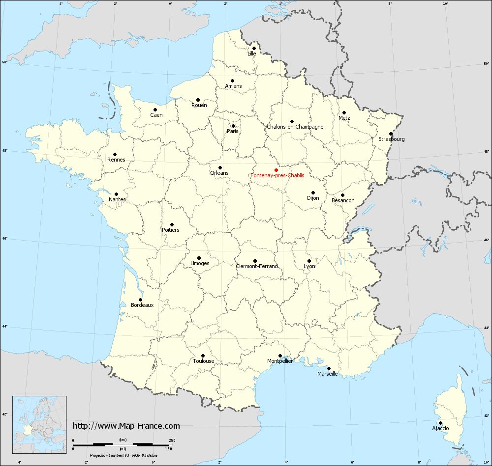
Map of Fontenay-près-Chablis with regions and prefectures
|
View the map of Fontenay-près-Chablis in full screen (1000 x 949)
|
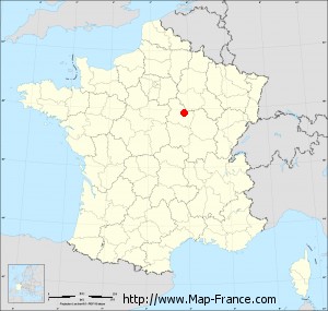
You will find the location of Fontenay-près-Chablis on the map of France of regions in Lambert 93 coordinates. The town of Fontenay-près-Chablis is located in the department of Yonne of the french region Bourgogne.
Geographical sexagesimal coordinates / GPS (WGS84):
Latitude: 47° 50' 50'' North
Longitude: 03° 48' 39'' East
Geographical decimal coordinates :
Latitude: 47.848 degrees (47.848° North)
Longitude: 3.812 degrees (3.812° East)
Lambert 93 coordinates :
X: 7 606 hectometers
Y: 67 499 hectometers
Lambert 2 coordinates :
X: 7 103 hectometers
Y: 23 174 hectometers
Below, the geographical coordinates of Auxerre, prefecture of the Yonne department:
Geographical sexagesimal coordinates / GPS (WGS84):
Latitude: 47° 47' 51'' North
Longitude: 03° 34' 01'' East
Geographical decimal coordinates :
Latitude: 47.798 degrees (47.798° North)
Longitude: 3.571 degrees (3.571° East)
Lambert 93 coordinates :
X: 7 424 hectometers
Y: 67 443 hectometers
Lambert 2 coordinates :
X: 6 922 hectometers
Y: 23 116 hectometers
|
This map of Fontenay-près-Chablis is reusable and modifiable by making a link to this page of the Map-France.com website or by using the given code :
|
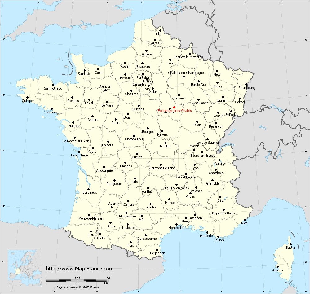
Map of Fontenay-près-Chablis with departments and prefectures
|
Voir la carte of Fontenay-près-Chablis en grand format (1000 x 949)
|
Here is the localization of Fontenay-près-Chablis on the France map of departments in Lambert 93 coordinates. The city of Fontenay-près-Chablis is shown on the map by a red point.
The town of Fontenay-près-Chablis is located in the department of Yonne of the french region Bourgogne.
The latitude of Fontenay-près-Chablis is 47.848 degrees North.
The longitude of Fontenay-près-Chablis is 3.812 degrees East.
Here the distance between Fontenay-près-Chablis and the biggest cities of France:
Distances are calculated as the crow flies (orthodromic distance)
Distance between Fontenay-près-Chablis and Paris : 156.14 kilometers
Distance between Fontenay-près-Chablis and Marseille : 520.44 kilometers
Distance between Fontenay-près-Chablis and Lyon : 244.72 kilometers
Distance between Fontenay-près-Chablis and Toulouse : 506.27 kilometers
Distance between Fontenay-près-Chablis and Nice : 532.1 kilometers
Distance between Fontenay-près-Chablis and Nantes : 408.49 kilometers
Distance between Fontenay-près-Chablis and Strasbourg : 303.13 kilometers
Distance between Fontenay-près-Chablis and Montpellier : 471.05 kilometers
Distance between Fontenay-près-Chablis and Bordeaux : 473.91 kilometers
Distance between Fontenay-près-Chablis and Lille : 313.82 kilometers
Distance between Fontenay-près-Chablis and Rennes : 409.46 kilometers
Distance between Fontenay-près-Chablis and Reims : 157.45 kilometers
Clic here to see the map of Fontenay-près-Chablis in full screen:
Fontenay-près-Chablis on the map of french departments
|
This administrative map of Fontenay-près-Chablis is reusable and modifiable by making a link to this page of the Map-France.com website or by using the given code :
|
Administrative base maps of Fontenay-près-Chablis
|

See the administrative base map of Fontenay-près-Chablis in full screen (1000 x 949)
|
Small administrative base map of Fontenay-près-Chablis
|
This base map administrative of Fontenay-près-Chablis is reusable and modifiable by making a link to this page of the Map-France.com website or by using the given code :
|
 French Version : http://www.cartesfrance.fr