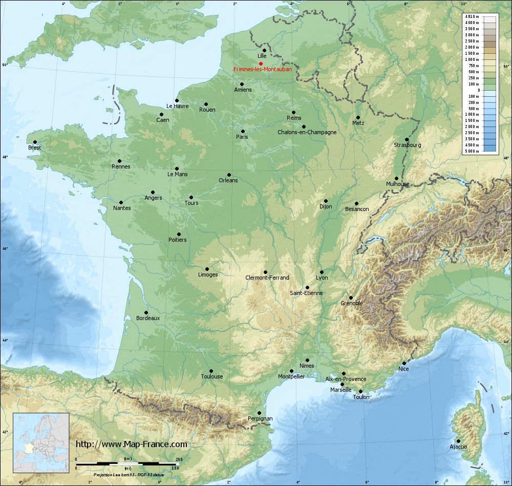
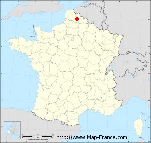
Map of Fresnes-lès-Montauban with regions and prefectures
|
View the map of Fresnes-lès-Montauban in full screen (1000 x 949)
|
You will find the location of Fresnes-lès-Montauban on the map of France of regions in Lambert 93 coordinates. The town of Fresnes-lès-Montauban is located in the department of Pas-de-Calais of the french region Nord-Pas-de-Calais.
Geographical sexagesimal coordinates / GPS (WGS84):
Latitude: 50° 19' 59'' North
Longitude: 02° 55' 52'' East
Geographical decimal coordinates :
Latitude: 50.335 degrees (50.335° North)
Longitude: 2.929 degrees (2.929° East)
Lambert 93 coordinates :
X: 6 951 hectometers
Y: 70 261 hectometers
Lambert 2 coordinates :
X: 6 424 hectometers
Y: 25 932 hectometers
Below, the geographical coordinates of Arras, prefecture of the Pas-de-Calais department:
Geographical sexagesimal coordinates / GPS (WGS84):
Latitude: 50° 17' 21'' North
Longitude: 02° 46' 48'' East
Geographical decimal coordinates :
Latitude: 50.289 degrees (50.289° North)
Longitude: 2.767 degrees (2.767° East)
Lambert 93 coordinates :
X: 6 843 hectometers
Y: 70 213 hectometers
Lambert 2 coordinates :
X: 6 317 hectometers
Y: 25 883 hectometers
|
This map of Fresnes-lès-Montauban is reusable and modifiable by making a link to this page of the Map-France.com website or by using the given code :
|
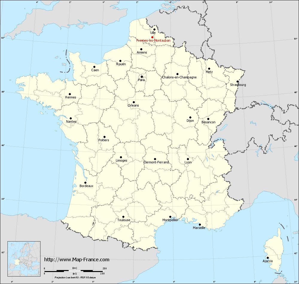
Map of Fresnes-lès-Montauban with departments and prefectures
|
Voir la carte of Fresnes-lès-Montauban en grand format (1000 x 949)
|
Here is the localization of Fresnes-lès-Montauban on the France map of departments in Lambert 93 coordinates. The city of Fresnes-lès-Montauban is shown on the map by a red point.
The town of Fresnes-lès-Montauban is located in the department of Pas-de-Calais of the french region Nord-Pas-de-Calais.
The latitude of Fresnes-lès-Montauban is 50.335 degrees North.
The longitude of Fresnes-lès-Montauban is 2.929 degrees East.
Here the distance between Fresnes-lès-Montauban and the biggest cities of France:
Distances are calculated as the crow flies (orthodromic distance)
Distance between Fresnes-lès-Montauban and Paris : 169.09 kilometers
Distance between Fresnes-lès-Montauban and Marseille : 804.04 kilometers
Distance between Fresnes-lès-Montauban and Lyon : 527.62 kilometers
Distance between Fresnes-lès-Montauban and Toulouse : 756.62 kilometers
Distance between Fresnes-lès-Montauban and Nice : 805.99 kilometers
Distance between Fresnes-lès-Montauban and Nantes : 476.89 kilometers
Distance between Fresnes-lès-Montauban and Strasbourg : 399.05 kilometers
Distance between Fresnes-lès-Montauban and Montpellier : 750.73 kilometers
Distance between Fresnes-lès-Montauban and Bordeaux : 664.1 kilometers
Distance between Fresnes-lès-Montauban and Lille : 33.57 kilometers
Distance between Fresnes-lès-Montauban and Rennes : 415.95 kilometers
Distance between Fresnes-lès-Montauban and Reims : 143.4 kilometers
Clic here to see the map of Fresnes-lès-Montauban in full screen:
Fresnes-lès-Montauban on the map of french departments
|
This administrative map of Fresnes-lès-Montauban is reusable and modifiable by making a link to this page of the Map-France.com website or by using the given code :
|
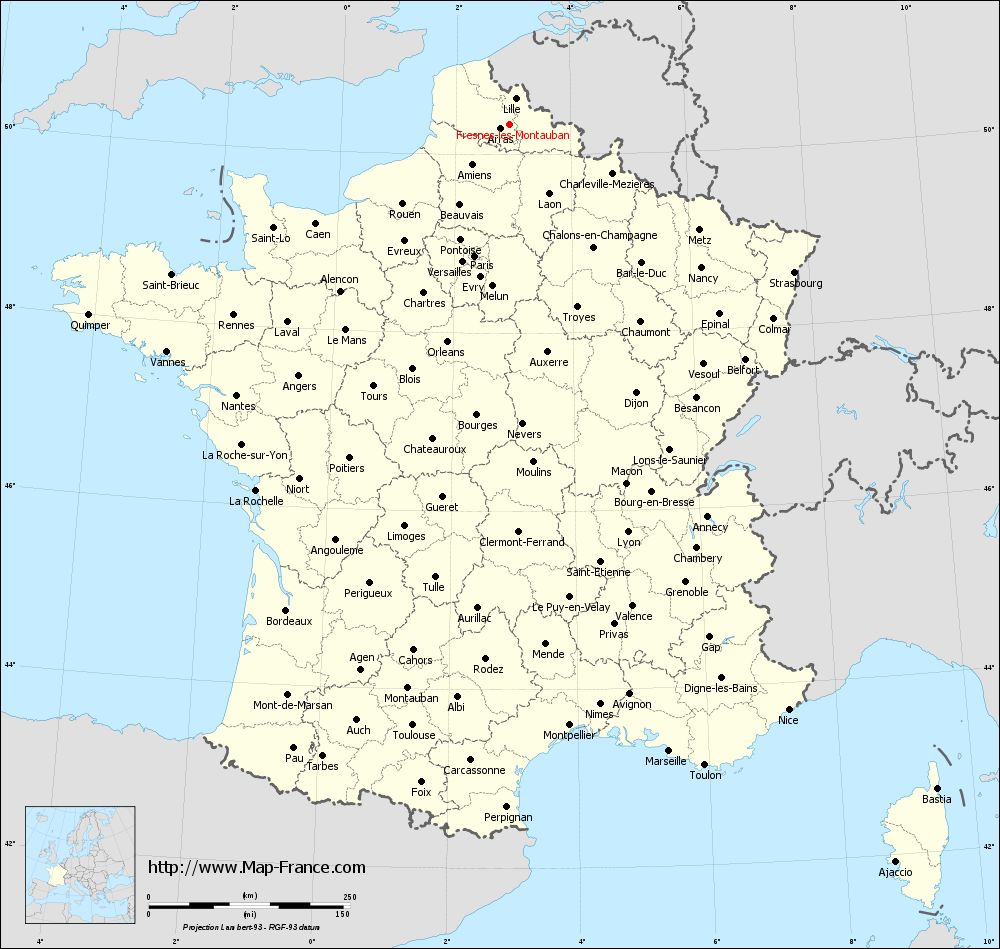
Administrative base maps of Fresnes-lès-Montauban
|

See the administrative base map of Fresnes-lès-Montauban in full screen (1000 x 949)
|
Small administrative base map of Fresnes-lès-Montauban
|
This base map administrative of Fresnes-lès-Montauban is reusable and modifiable by making a link to this page of the Map-France.com website or by using the given code :
|
 French Version : http://www.cartesfrance.fr