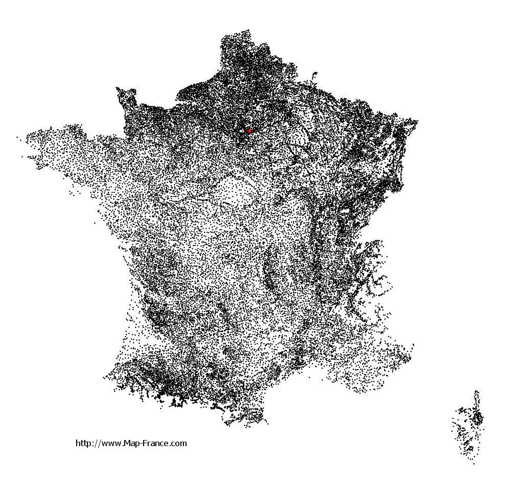
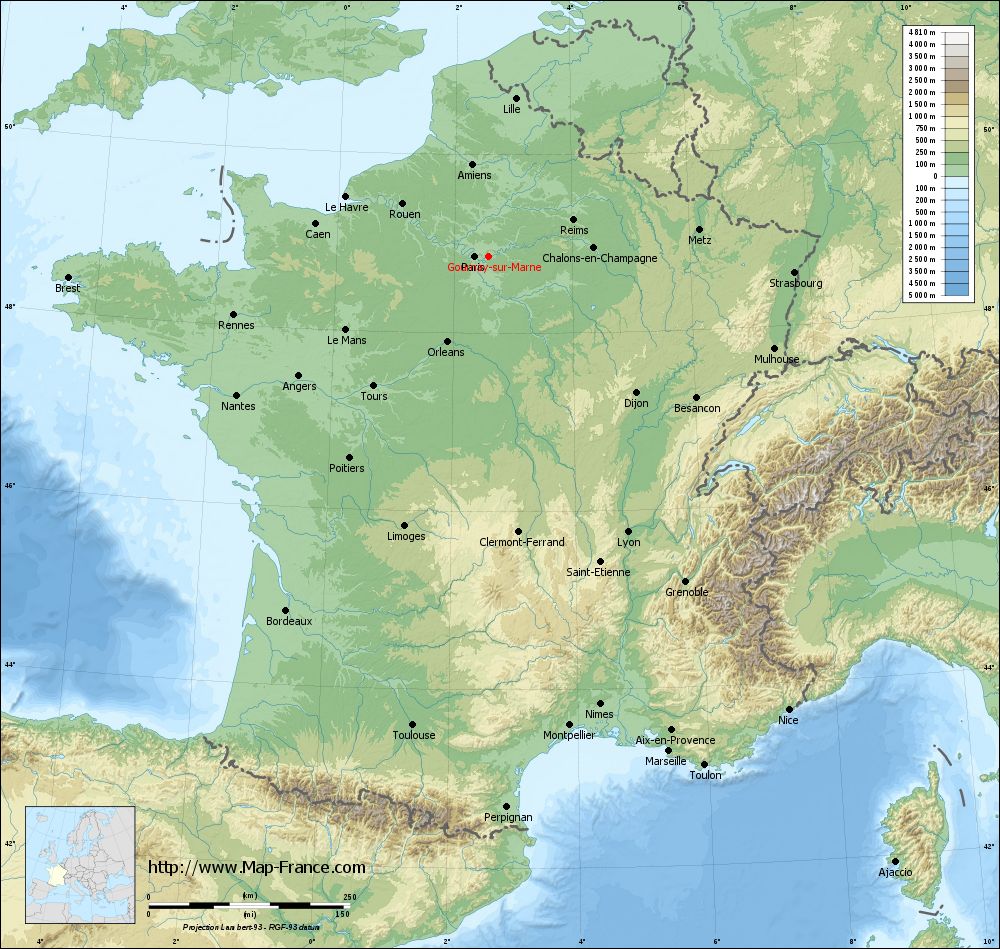
Gournay-sur-Marne on the relief France map in Lambert 93 coordinates
|
See the map of Gournay-sur-Marne in full screen (1000 x 949)
|
At left, here is the location of Gournay-sur-Marne on the relief France map in Lambert 93 coordinates.
Here are the altitudes of Gournay-sur-Marne :
- Town hall altitude of Gournay-sur-Marne is 40 meters
- Minimum altitude of Gournay-sur-Marne is 37 meters
- Maximum altitude of Gournay-sur-Marne is 61 meters
- Medium altitude of Gournay-sur-Marne is 49 meters
Here are the altitudes of Bobigny, prefecture of Seine-Saint-Denis department:
- Town hall altitude of Bobigny is 50 meters
- Minimum altitude of Bobigny is 39 meters
- Maximum altitude of Bobigny is 57 meters
- Medium altitude of Bobigny is 48 meters
Here are the altitudes of the french biggest cities:
Paris : 33 meters
Marseille : 20 meters
Lyon : 237 meters
Toulouse : 146 meters
Nice : 10 meters
Nantes : 20 meters
Strasbourg : 144 meters
Montpellier : 35 meters
Bordeaux : 16 meters
Lille : 20 meters
Rennes : 35 meters
Reims : 83 meters
Click here for the terrain map of Gournay-sur-Marne in full screen:
Relief map of Gournay-sur-Marne
|
This relief map of Gournay-sur-Marne is reusable and modifiable by making a link to this page of the Map-France.com website or by using the given code :
|
Terrain base map of Gournay-sur-Marne
|

See the terrain base map of Gournay-sur-Marne in full screen (1000 x 949)
|
Small relief base map of Gournay-sur-Marne

|
This base map of Gournay-sur-Marne is reusable and modifiable by making a link to this page of the Map-France.com website or by using the given code :
|
Map of Gournay-sur-Marne with regions and prefectures
|
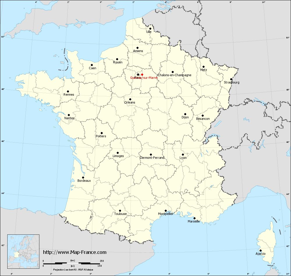
View the map of Gournay-sur-Marne in full screen (1000 x 949)
|
You will find the location of Gournay-sur-Marne on the map of France of regions in Lambert 93 coordinates. The city of Gournay-sur-Marne is located in the department of Seine-Saint-Denis of the french region Île-de-France.
Geographical sexagesimal coordinates / GPS (WGS84):
Latitude: 48° 51' 35'' North
Longitude: 02° 34' 35'' East
Geographical decimal coordinates :
Latitude: 48.86 degrees (48.86° North)
Longitude: 2.575 degrees (2.575° East)
Lambert 93 coordinates :
X: 6 689 hectometers
Y: 68 623 hectometers
Lambert 2 coordinates :
X: 6 176 hectometers
Y: 24 291 hectometers
Below, the geographical coordinates of Bobigny, prefecture of the Seine-Saint-Denis department:
Geographical sexagesimal coordinates / GPS (WGS84):
Latitude: 48° 54' 35'' North
Longitude: 02° 26' 19'' East
Geographical decimal coordinates :
Latitude: 48.908 degrees (48.908° North)
Longitude: 2.442 degrees (2.442° East)
Lambert 93 coordinates :
X: 6 589 hectometers
Y: 68 679 hectometers
Lambert 2 coordinates :
X: 6 075 hectometers
Y: 24 346 hectometers
|
This map of Gournay-sur-Marne is reusable and modifiable by making a link to this page of the Map-France.com website or by using the given code :
|
Map of Gournay-sur-Marne with departments and prefectures
|
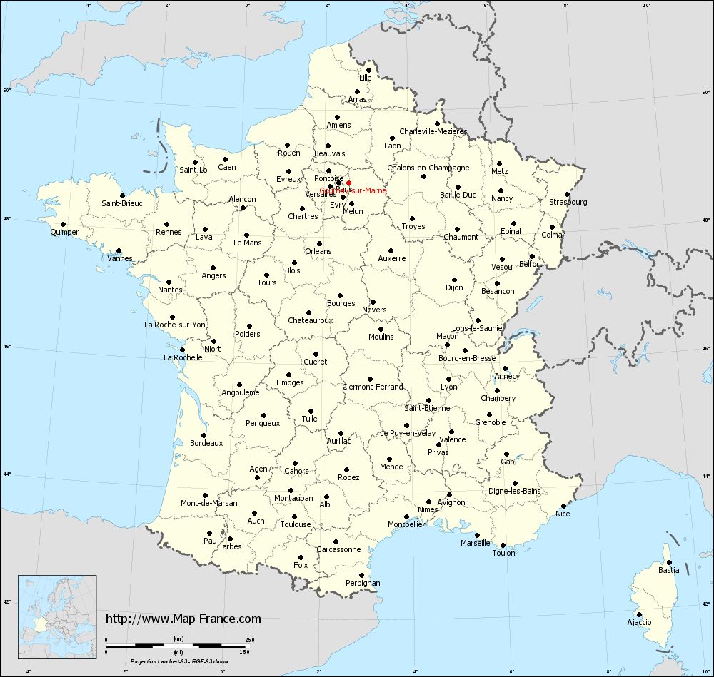
Voir la carte of Gournay-sur-Marne en grand format (1000 x 949)
|
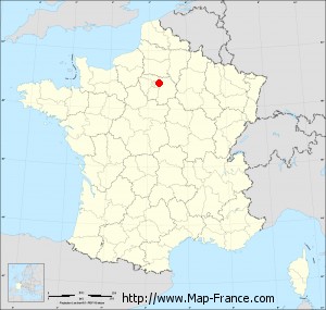
Here is the localization of Gournay-sur-Marne on the France map of departments in Lambert 93 coordinates. The city of Gournay-sur-Marne is shown on the map by a red point.
The city of Gournay-sur-Marne is located in the department of Seine-Saint-Denis of the french region Île-de-France.
The latitude of Gournay-sur-Marne is 48.86 degrees North.
The longitude of Gournay-sur-Marne is 2.575 degrees East.
Here the distance between Gournay-sur-Marne and the biggest cities of France:
Distances are calculated as the crow flies (orthodromic distance)
Distance between Gournay-sur-Marne and Paris : 16.77 kilometers
Distance between Gournay-sur-Marne and Marseille : 655.09 kilometers
Distance between Gournay-sur-Marne and Lyon : 384.14 kilometers
Distance between Gournay-sur-Marne and Toulouse : 590.73 kilometers
Distance between Gournay-sur-Marne and Nice : 676 kilometers
Distance between Gournay-sur-Marne and Nantes : 356.74 kilometers
Distance between Gournay-sur-Marne and Strasbourg : 380.88 kilometers
Distance between Gournay-sur-Marne and Montpellier : 591.86 kilometers
Distance between Gournay-sur-Marne and Bordeaux : 506.31 kilometers
Distance between Gournay-sur-Marne and Lille : 199.34 kilometers
Distance between Gournay-sur-Marne and Rennes : 324.29 kilometers
Distance between Gournay-sur-Marne and Reims : 114.87 kilometers
Clic here to see the map of Gournay-sur-Marne in full screen:
Gournay-sur-Marne on the map of french departments
|
This administrative map of Gournay-sur-Marne is reusable and modifiable by making a link to this page of the Map-France.com website or by using the given code :
|
Administrative base maps of Gournay-sur-Marne
|

See the administrative base map of Gournay-sur-Marne in full screen (1000 x 949)
|
Small administrative base map of Gournay-sur-Marne
|
This base map administrative of Gournay-sur-Marne is reusable and modifiable by making a link to this page of the Map-France.com website or by using the given code :
|
 French Version : http://www.cartesfrance.fr