Hagenthal-le-Bas on the relief France map in Lambert 93 coordinates
|

See the map of Hagenthal-le-Bas in full screen (1000 x 949)
|
At left, here is the location of Hagenthal-le-Bas on the relief France map in Lambert 93 coordinates.
Here are the altitudes of Hagenthal-le-Bas :
- Town hall altitude of Hagenthal-le-Bas is 351 meters
- Minimum altitude of Hagenthal-le-Bas is 319 meters
- Maximum altitude of Hagenthal-le-Bas is 481 meters
- Medium altitude of Hagenthal-le-Bas is 400 meters
Here are the altitudes of Colmar, prefecture of Haut-Rhin department:
- Town hall altitude of Colmar is 198 meters
- Minimum altitude of Colmar is 175 meters
- Maximum altitude of Colmar is 214 meters
- Medium altitude of Colmar is 195 meters
Here are the altitudes of the french biggest cities:
Paris : 33 meters
Marseille : 20 meters
Lyon : 237 meters
Toulouse : 146 meters
Nice : 10 meters
Nantes : 20 meters
Strasbourg : 144 meters
Montpellier : 35 meters
Bordeaux : 16 meters
Lille : 20 meters
Rennes : 35 meters
Reims : 83 meters
Click here for the terrain map of Hagenthal-le-Bas in full screen:
Relief map of Hagenthal-le-Bas
|
This relief map of Hagenthal-le-Bas is reusable and modifiable by making a link to this page of the Map-France.com website or by using the given code :
|
Terrain base map of Hagenthal-le-Bas
|

See the terrain base map of Hagenthal-le-Bas in full screen (1000 x 949)
|
Small relief base map of Hagenthal-le-Bas

|
This base map of Hagenthal-le-Bas is reusable and modifiable by making a link to this page of the Map-France.com website or by using the given code :
|
Map of Hagenthal-le-Bas with regions and prefectures
|
View the map of Hagenthal-le-Bas in full screen (1000 x 949)
|
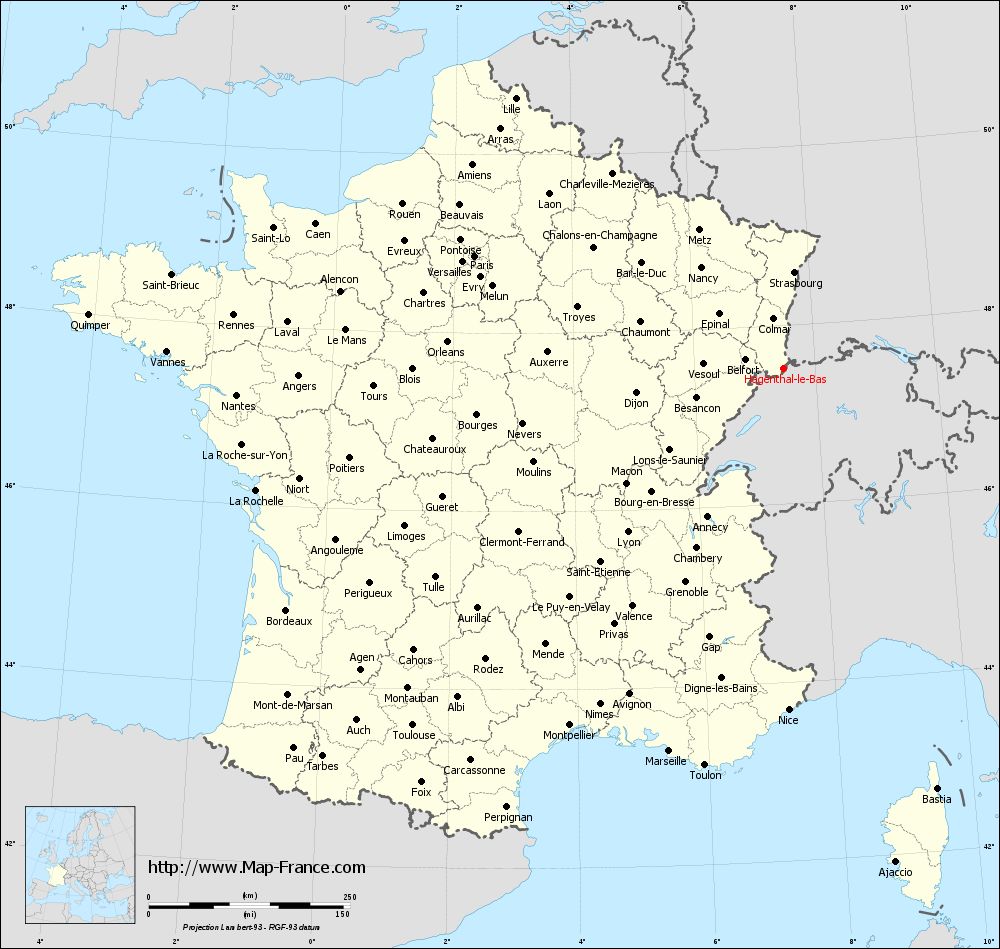
You will find the location of Hagenthal-le-Bas on the map of France of regions in Lambert 93 coordinates. The town of Hagenthal-le-Bas is located in the department of Haut-Rhin of the french region Alsace.
Geographical sexagesimal coordinates / GPS (WGS84):
Latitude: 47° 31' 29'' North
Longitude: 07° 28' 39'' East
Geographical decimal coordinates :
Latitude: 47.526 degrees (47.526° North)
Longitude: 7.477 degrees (7.477° East)
Lambert 93 coordinates :
X: 10 367 hectometers
Y: 67 234 hectometers
Lambert 2 coordinates :
X: 9 869 hectometers
Y: 22 932 hectometers
Below, the geographical coordinates of Colmar, prefecture of the Haut-Rhin department:
Geographical sexagesimal coordinates / GPS (WGS84):
Latitude: 48° 04' 52'' North
Longitude: 07° 21' 18'' East
Geographical decimal coordinates :
Latitude: 48.078 degrees (48.078° North)
Longitude: 7.355 degrees (7.355° East)
Lambert 93 coordinates :
X: 10 241 hectometers
Y: 67 846 hectometers
Lambert 2 coordinates :
X: 9 737 hectometers
Y: 23 544 hectometers
|
This map of Hagenthal-le-Bas is reusable and modifiable by making a link to this page of the Map-France.com website or by using the given code :
|
Map of Hagenthal-le-Bas with departments and prefectures
|
Voir la carte of Hagenthal-le-Bas en grand format (1000 x 949)
|
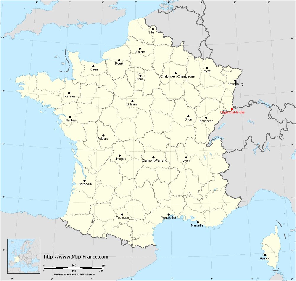
Here is the localization of Hagenthal-le-Bas on the France map of departments in Lambert 93 coordinates. The city of Hagenthal-le-Bas is shown on the map by a red point.
The town of Hagenthal-le-Bas is located in the department of Haut-Rhin of the french region Alsace.
The latitude of Hagenthal-le-Bas is 47.526 degrees North.
The longitude of Hagenthal-le-Bas is 7.477 degrees East.
Here the distance between Hagenthal-le-Bas and the biggest cities of France:
Distances are calculated as the crow flies (orthodromic distance)
Distance between Hagenthal-le-Bas and Paris : 407.86 kilometers
Distance between Hagenthal-le-Bas and Marseille : 496.94 kilometers
Distance between Hagenthal-le-Bas and Lyon : 281.29 kilometers
Distance between Hagenthal-le-Bas and Toulouse : 640.02 kilometers
Distance between Hagenthal-le-Bas and Nice : 424.75 kilometers
Distance between Hagenthal-le-Bas and Nantes : 680.01 kilometers
Distance between Hagenthal-le-Bas and Strasbourg : 119.39 kilometers
Distance between Hagenthal-le-Bas and Montpellier : 517.52 kilometers
Distance between Hagenthal-le-Bas and Bordeaux : 686.95 kilometers
Distance between Hagenthal-le-Bas and Lille : 471.9 kilometers
Distance between Hagenthal-le-Bas and Rennes : 685.86 kilometers
Distance between Hagenthal-le-Bas and Reims : 318.79 kilometers
Clic here to see the map of Hagenthal-le-Bas in full screen:
Hagenthal-le-Bas on the map of french departments
|
This administrative map of Hagenthal-le-Bas is reusable and modifiable by making a link to this page of the Map-France.com website or by using the given code :
|
Administrative base maps of Hagenthal-le-Bas
|

See the administrative base map of Hagenthal-le-Bas in full screen (1000 x 949)
|
Small administrative base map of Hagenthal-le-Bas
|
This base map administrative of Hagenthal-le-Bas is reusable and modifiable by making a link to this page of the Map-France.com website or by using the given code :
|
 French Version : http://www.cartesfrance.fr