|
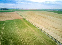
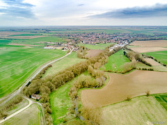
The village of Hordain is a small french village located north of France. The town of Hordain is located in the department of Nord of the french region Nord-Pas-de-Calais. The town of Hordain is located in the township of Bouchain part of the district of Valenciennes. The area code for Hordain is 59313 (also known as code INSEE), and the Hordain zip code is 59111.
Geography and map of Hordain :
The altitude of the city hall of Hordain is approximately 40 meters. The Hordain surface is 5.66 km ². The latitude and longitude of Hordain are 50.262 degrees North and 3.314 degrees East.
Nearby cities and towns of Hordain are :
Estrun (59295) at 2.01 km, Wavrechain-sous-Faulx (59111) at 2.46 km, Lieu-Saint-Amand (59111) at 2.55 km, Bouchain (59111) at 2.56 km, Iwuy (59141) at 3.19 km, Paillencourt (59295) at 3.30 km, Wasnes-au-Bac (59252) at 4.15 km, Thun-l'Évêque (59141) at 4.32 km.
(The distances to these nearby towns of Hordain are calculated as the crow flies)
Population and housing of Hordain :
The population of Hordain was 1 189 in 1999, 1 315 in 2006 and 1 472 in 2007. The population density of Hordain is 260.07 inhabitants per km². The number of housing of Hordain was 601 in 2007. These homes of Hordain consist of 567 main residences, 1 second or occasional homes and 34 vacant homes. |
|
|
Hotel Hordain
|
|
|
Book now ! Best Price Guaranteed, no booking fees, pay at the hotel with our partner Booking.com, leader in online hotel reservation.
Find all hotels of Hordain : Hotel Hordain
| |
|
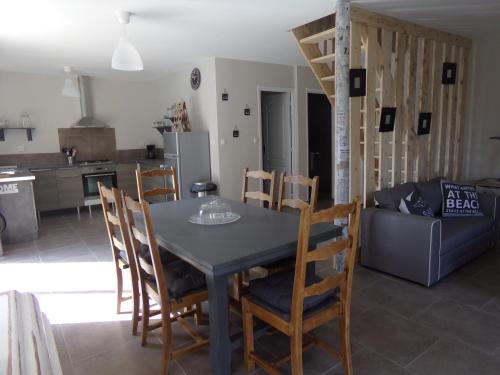
Guest accommodation : L'acacias
L'acacias is located in Hem-Lenglet and offers a garden and a terrace. Complimentary WiFi is offered. The holiday home features 3 bedrooms, a kitchen with a dishwasher and an o...
Address : 29 rue des acacias 59247 Hem-Lenglet
Distance Guest accommodation - Hordain : 6.18 km
|
|
|
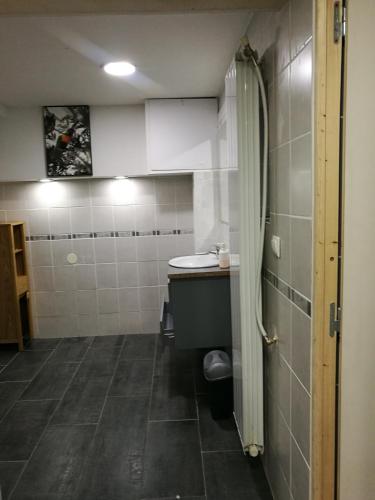
Guest accommodation : Emile Combes Douchy
Emile Combes Douchy is located in Douchy-les-Mines. Complimentary WiFi is featured. This holiday home comes with a dining area, a kitchen with an oven, and a satellite flat-scr...
Price : from 49.00 €
Contact : 23 Rue Emile Combes 59282 Douchy-les-Mines
Distance Guest accommodation - Hordain : 6.35 km
|
|
|
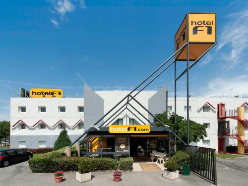
Hotel : hotelF1 Valenciennes Douchy les Mines
HotelF1 Valenciennes Douchy les Mines is situated in Haulchin, a 15-minute drive from Valenciennes. Each room comes with a flat-screen TV and a shared bathroom. Guests can purc...
Prices : from 34.24 €
to 37.45 €
Contact : Rn 30 Haulchin 59121 Haulchin
Distance Hotel - Hordain : 8.60 km
|
|
|
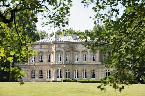
Hotel : Château De La Motte Fenelon
  
Located in the north of the historical city of Cambrai, Château De La Motte features modern rooms with antique furniture. It offers a large garden, bike rental and a classic-sty...
Rate : from 68.00 €
to 140.00 €
Contact : Square Du Château 59400 Cambrai
Distance Hotel - Hordain : 9.23 km
|
|
|
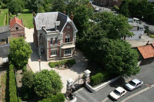
Guest accommodation : Mon Doux Repos
MON DOUX REPOS is set in Cambrai, 1.2 km from Cambrai Town Hall. Free private parking on site and free WiFi throughout the property are available. The room is fitted with a fla...
Address : 2 rue du pont de pierres 59400 Cambrai
Distance Guest accommodation - Hordain : 9.95 km
|
|
|
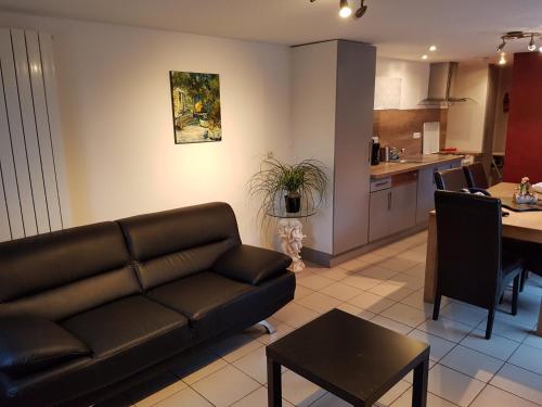
Apartment : Le Gite De La Ferme Du Tertre
  
Offering barbecue facilities and a garden, as well as a terrace, Le Gite De La Ferme Du Tertre is set in Villers-au-Tertre, 4.4 km from Mining History Centre of Lewarde. Guests ...
Contact : 501 Rue De Fressain 59234 Villers-au-Tertre
Distance Apartment - Hordain : 9.96 km
|
|
|
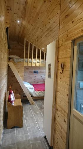
Guest accommodation : le chalet de la ferme du tertre
 
Le chalet de la ferme du tertre is located in Villers-au-Tertre, 4.4 km from Mining History Centre of Lewarde, and barbecue facilities, a garden and a terrace are accessible in-...
Rate : from 70.00 €
to 91.00 €
Contact : 501 rue de fressain 59234 Villers-au-Tertre
Distance Guest accommodation - Hordain : 9.97 km
|
|
|
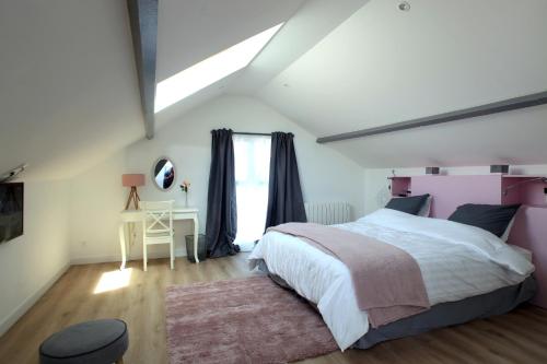
Guest accommodation : Le 1880
Boasting a shared lounge, Le 1880 is situated in Cambrai, 600 metres from Cambrai Town Hall. The property is around 1 km from Notre-Dame-de-Grace Cathedral, Cambrai and 1 km fro...
Price : from 69.00 €
to 85.00 €
Contact : 9 Avenue de Valenciennes 59400 Cambrai
Distance Guest accommodation - Hordain : 10.52 km
|
|
|
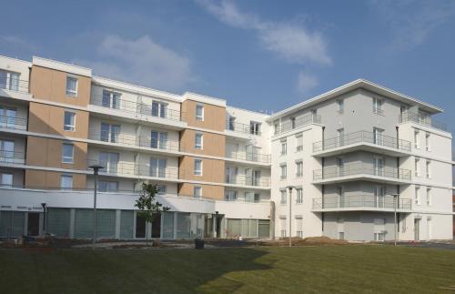
Guest accommodation : DOMITYS Le Parc de Saint-Cloud

Offering an indoor swimming pool as well as a spa and wellness centre, DOMITYS Le Parc de Saint-Cloud provides self-catering accommodation located in Cambrai. This senior reside...
Prices : from 72.86 €
to 115.00 €
Address : 29 rue Lallier 59400 Cambrai
Distance Guest accommodation - Hordain : 10.57 km
|
|
|
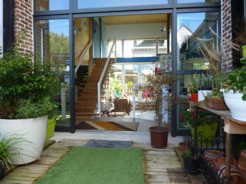
Bed and Breakfast : Le patio d'Eric

Set in Aubigny-au-Bac, Le patio d'Eric provides accommodation with free WiFi. The bed and breakfast offers a TV and a private bathroom with free toiletries, a hair dryer and sh...
Rate : from 75.00 €
to 165.00 €
Contact : 2 Ter Rue Du Stade 59265 Aubigny-au-Bac
Distance Bed and Breakfast - Hordain : 10.59 km
|
|
Find another hotel near Hordain : Hordain hotels list
|
Map of Hordain
|
|
Map of Hordain :
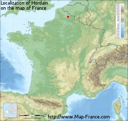
At right you can find the localization of Hordain on the map of France. Below, this is the satellite map of Hordain. A road map, and maps templates of Hordain are available here : "road map of Hordain". This map show Hordain seen by the satellite of Google Map. To see the streets of Hordain or move on another zone, use the buttons "zoom" and "map" on top of this dynamic map.
Search on the map of Hordain :
To search hotels, housings, tourist information office, administrations or other services, use the Google search integrated to the map on the following page : "map Hordain".
Hotels of Hordain are listed on the map with the following icons: 
The map of Hordain is centred in the following coordinates :
|
|
|
|
|
Print the map of Hordain

Print the map of Hordain : map of Hordain
|
Photos Hordain
|
See all photos of Hordain :
Other photos of Hordain and nearby towns can be found here: photos Hordain
|
|
Hordain weather forecast
Find next hours and 7 days weather forecast for Hordain here : weather Hordain (with english metrics)
This is the last weather forecast for Hordain collected by the nearest observation station of Bouchain.
Week Forecast:
The latest weather data for Hordain were collected Saturday, 19 April 2025 at 19:05 from the nearest observation station of Bouchain.
| Saturday, April 19th |
17°C 7°C
0%
89%
|
Cloudy
Temperature Max: 17°C Temperature Min: 7°C
Precipitation Probability: 0%
Percentage of sky occluded by clouds: 89%
Wind speed: 17 km/h West
Humidity: 61%° UV Index: 3
Sunrise: 06:45 Sunset: 20:47 |
|
| | Sunday, April 20th |
16°C 9°C
58%
91%
|
Drizzle
Temperature Max: 16°C Temperature Min: 9°C
Precipitation Probability: 58% (Rain)
Percentage of sky occluded by clouds: 91%
Wind speed: 14 km/h North-West
Humidity: 71%° UV Index: 3
Sunrise: 06:43 Sunset: 20:49 |
|
| | Monday, April 21st |
15°C 8°C
59%
85%
|
Drizzle
Temperature Max: 15°C Temperature Min: 8°C
Precipitation Probability: 59% (Rain)
Percentage of sky occluded by clouds: 85%
Wind speed: 9 km/h North-East
Humidity: 75%° UV Index: 4
Sunrise: 06:41 Sunset: 20:51 |
|
| | Tuesday, April 22nd |
17°C 8°C
0%
71%
|
Mostly cloudy
Temperature Max: 17°C Temperature Min: 8°C
Precipitation Probability: 0%
Percentage of sky occluded by clouds: 71%
Wind speed: 13 km/h East
Humidity: 64%° UV Index: 4
Sunrise: 06:39 Sunset: 20:52 |
|
|
Attribution: 
|
|
Other maps, hotels and towns in france
Find another town, zip code, department, region, ...
Quick links Hordain :
Make a link to this page of Hordain with the following code :
|
|
|

 French Version : http://www.cartesfrance.fr/carte-france-ville/59313_Hordain.html


