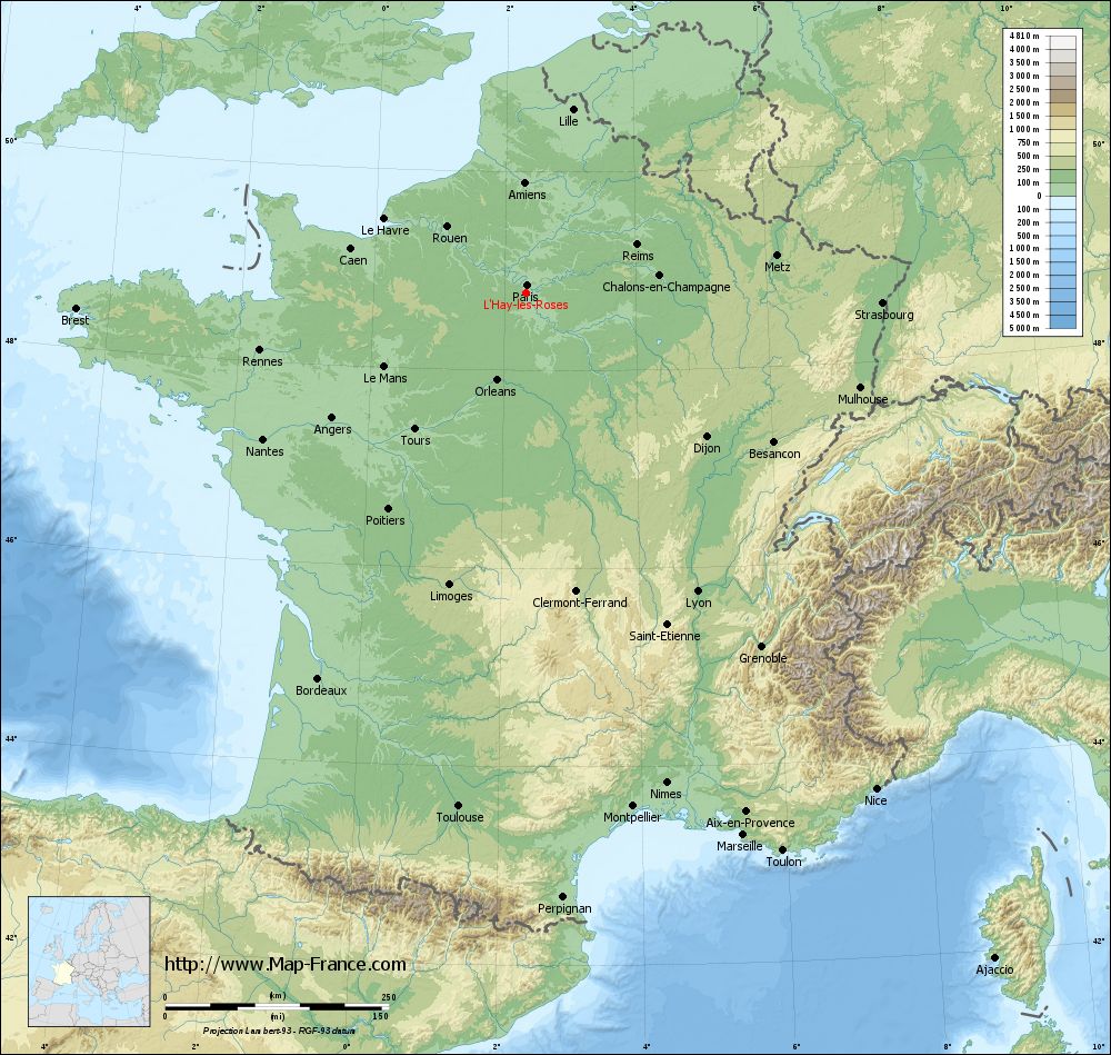
L'Haÿ-les-Roses on the relief France map in Lambert 93 coordinates
|
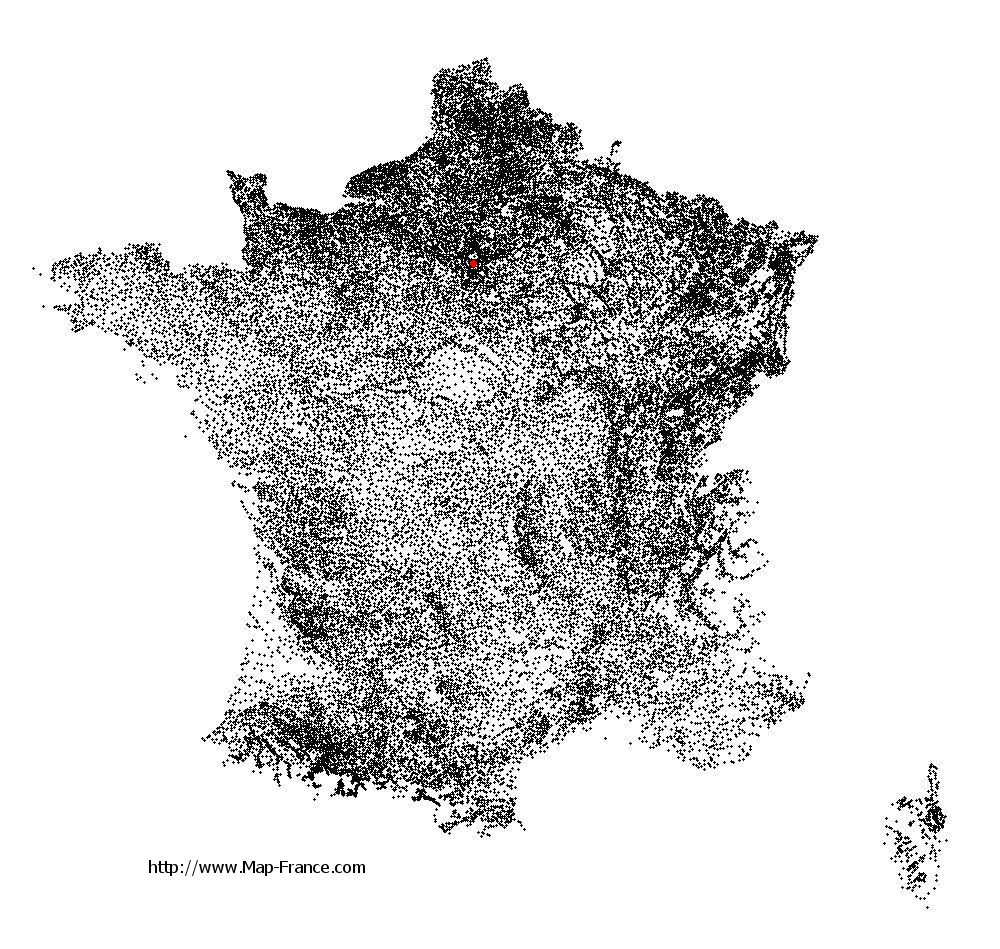
See the map of L'Haÿ-les-Roses in full screen (1000 x 949)
|
At left, here is the location of L'Haÿ-les-Roses on the relief France map in Lambert 93 coordinates.
Here are the altitudes of L'Haÿ-les-Roses :
- Town hall altitude of L'Haÿ-les-Roses is 93 meters
- Minimum altitude of L'Haÿ-les-Roses is 42 meters
- Maximum altitude of L'Haÿ-les-Roses is 109 meters
- Medium altitude of L'Haÿ-les-Roses is 76 meters
Here are the altitudes of Créteil, prefecture of Val-de-Marne department:
- Town hall altitude of Créteil is 34 meters
- Minimum altitude of Créteil is 31 meters
- Maximum altitude of Créteil is 74 meters
- Medium altitude of Créteil is 53 meters
Here are the altitudes of the french biggest cities:
Paris : 33 meters
Marseille : 20 meters
Lyon : 237 meters
Toulouse : 146 meters
Nice : 10 meters
Nantes : 20 meters
Strasbourg : 144 meters
Montpellier : 35 meters
Bordeaux : 16 meters
Lille : 20 meters
Rennes : 35 meters
Reims : 83 meters
Click here for the terrain map of L'Haÿ-les-Roses in full screen:
Relief map of L%27Haÿ-les-Roses
|
This relief map of L'Haÿ-les-Roses is reusable and modifiable by making a link to this page of the Map-France.com website or by using the given code :
|
Terrain base map of L'Haÿ-les-Roses
|

See the terrain base map of L'Haÿ-les-Roses in full screen (1000 x 949)
|
Small relief base map of L'Haÿ-les-Roses

|
This base map of L'Haÿ-les-Roses is reusable and modifiable by making a link to this page of the Map-France.com website or by using the given code :
|
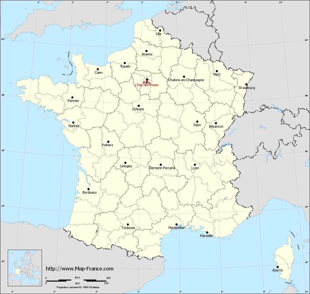
Map of L'Haÿ-les-Roses with regions and prefectures
|
View the map of L'Haÿ-les-Roses in full screen (1000 x 949)
|
You will find the location of L'Haÿ-les-Roses on the map of France of regions in Lambert 93 coordinates. The city of L'Haÿ-les-Roses is located in the department of Val-de-Marne of the french region Île-de-France.
Geographical sexagesimal coordinates / GPS (WGS84):
Latitude: 48° 46' 45'' North
Longitude: 02° 20' 14'' East
Geographical decimal coordinates :
Latitude: 48.777 degrees (48.777° North)
Longitude: 2.338 degrees (2.338° East)
Lambert 93 coordinates :
X: 6 513 hectometers
Y: 68 534 hectometers
Lambert 2 coordinates :
X: 6 001 hectometers
Y: 24 201 hectometers
Below, the geographical coordinates of Créteil, prefecture of the Val-de-Marne department:
Geographical sexagesimal coordinates / GPS (WGS84):
Latitude: 48° 47' 26'' North
Longitude: 02° 27' 43'' East
Geographical decimal coordinates :
Latitude: 48.793 degrees (48.793° North)
Longitude: 2.461 degrees (2.461° East)
Lambert 93 coordinates :
X: 6 605 hectometers
Y: 68 546 hectometers
Lambert 2 coordinates :
X: 6 092 hectometers
Y: 24 213 hectometers
|
This map of L'Haÿ-les-Roses is reusable and modifiable by making a link to this page of the Map-France.com website or by using the given code :
|
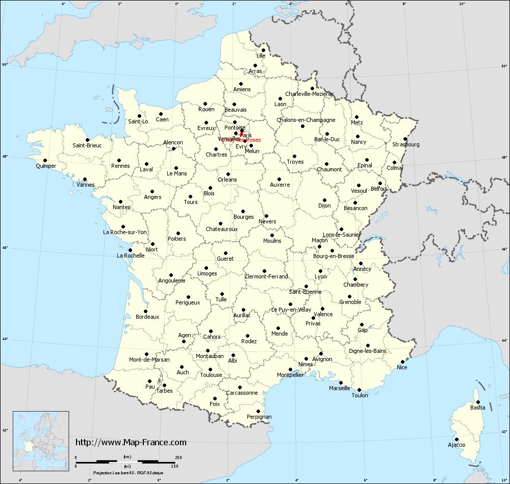
Map of L'Haÿ-les-Roses with departments and prefectures
|
Voir la carte of L'Haÿ-les-Roses en grand format (1000 x 949)
|
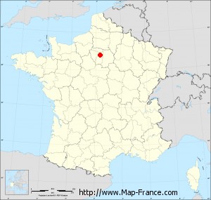
Here is the localization of L'Haÿ-les-Roses on the France map of departments in Lambert 93 coordinates. The city of L'Haÿ-les-Roses is shown on the map by a red point.
The city of L'Haÿ-les-Roses is located in the department of Val-de-Marne of the french region Île-de-France.
The latitude of L'Haÿ-les-Roses is 48.777 degrees North.
The longitude of L'Haÿ-les-Roses is 2.338 degrees East.
Here the distance between L'Haÿ-les-Roses and the biggest cities of France:
Distances are calculated as the crow flies (orthodromic distance)
Distance between L'Haÿ-les-Roses and Paris : 9.33 kilometers
Distance between L'Haÿ-les-Roses and Marseille : 652.86 kilometers
Distance between L'Haÿ-les-Roses and Lyon : 384.42 kilometers
Distance between L'Haÿ-les-Roses and Toulouse : 579.22 kilometers
Distance between L'Haÿ-les-Roses and Nice : 678.36 kilometers
Distance between L'Haÿ-les-Roses and Nantes : 337.09 kilometers
Distance between L'Haÿ-les-Roses and Strasbourg : 397.95 kilometers
Distance between L'Haÿ-les-Roses and Montpellier : 586.2 kilometers
Distance between L'Haÿ-les-Roses and Bordeaux : 489.91 kilometers
Distance between L'Haÿ-les-Roses and Lille : 211.85 kilometers
Distance between L'Haÿ-les-Roses and Rennes : 305.3 kilometers
Distance between L'Haÿ-les-Roses and Reims : 134.48 kilometers
Clic here to see the map of L'Haÿ-les-Roses in full screen:
L%27Haÿ-les-Roses on the map of french departments
|
This administrative map of L'Haÿ-les-Roses is reusable and modifiable by making a link to this page of the Map-France.com website or by using the given code :
|
Administrative base maps of L'Haÿ-les-Roses
|

See the administrative base map of L'Haÿ-les-Roses in full screen (1000 x 949)
|
Small administrative base map of L'Haÿ-les-Roses
|
This base map administrative of L'Haÿ-les-Roses is reusable and modifiable by making a link to this page of the Map-France.com website or by using the given code :
|
 French Version : http://www.cartesfrance.fr