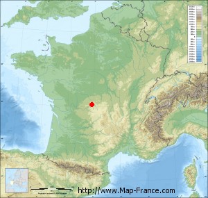
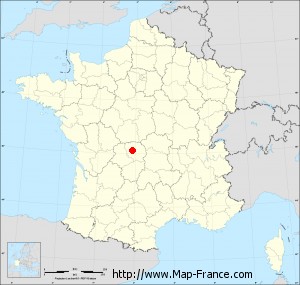
Map of La Chapelle-Taillefert with regions and prefectures
|
View the map of La Chapelle-Taillefert in full screen (1000 x 949)
|
You will find the location of La Chapelle-Taillefert on the map of France of regions in Lambert 93 coordinates. The town of La Chapelle-Taillefert is located in the department of Creuse of the french region Limousin.
Geographical sexagesimal coordinates / GPS (WGS84):
Latitude: 46° 06' 02'' North
Longitude: 01° 50' 22'' East
Geographical decimal coordinates :
Latitude: 46.1 degrees (46.1° North)
Longitude: 1.839 degrees (1.839° East)
Lambert 93 coordinates :
X: 6 103 hectometers
Y: 65 563 hectometers
Lambert 2 coordinates :
X: 5 616 hectometers
Y: 21 224 hectometers
Below, the geographical coordinates of Guéret, prefecture of the Creuse department:
Geographical sexagesimal coordinates / GPS (WGS84):
Latitude: 46° 10' 14'' North
Longitude: 01° 52' 06'' East
Geographical decimal coordinates :
Latitude: 46.169 degrees (46.169° North)
Longitude: 1.875 degrees (1.875° East)
Lambert 93 coordinates :
X: 6 127 hectometers
Y: 65 640 hectometers
Lambert 2 coordinates :
X: 5 638 hectometers
Y: 21 301 hectometers
|
This map of La Chapelle-Taillefert is reusable and modifiable by making a link to this page of the Map-France.com website or by using the given code :
|
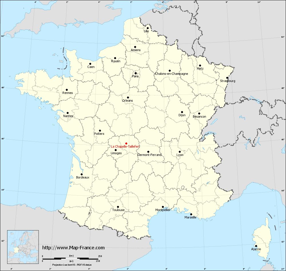
Map of La Chapelle-Taillefert with departments and prefectures
|
Voir la carte of La Chapelle-Taillefert en grand format (1000 x 949)
|
Here is the localization of La Chapelle-Taillefert on the France map of departments in Lambert 93 coordinates. The city of La Chapelle-Taillefert is shown on the map by a red point.
The town of La Chapelle-Taillefert is located in the department of Creuse of the french region Limousin.
The latitude of La Chapelle-Taillefert is 46.1 degrees North.
The longitude of La Chapelle-Taillefert is 1.839 degrees East.
Here the distance between La Chapelle-Taillefert and the biggest cities of France:
Distances are calculated as the crow flies (orthodromic distance)
Distance between La Chapelle-Taillefert and Paris : 309.06 kilometers
Distance between La Chapelle-Taillefert and Marseille : 419.48 kilometers
Distance between La Chapelle-Taillefert and Lyon : 234.55 kilometers
Distance between La Chapelle-Taillefert and Toulouse : 279.48 kilometers
Distance between La Chapelle-Taillefert and Nice : 502.72 kilometers
Distance between La Chapelle-Taillefert and Nantes : 287.02 kilometers
Distance between La Chapelle-Taillefert and Strasbourg : 523.8 kilometers
Distance between La Chapelle-Taillefert and Montpellier : 319.84 kilometers
Distance between La Chapelle-Taillefert and Bordeaux : 234.27 kilometers
Distance between La Chapelle-Taillefert and Lille : 510.86 kilometers
Distance between La Chapelle-Taillefert and Rennes : 347.2 kilometers
Distance between La Chapelle-Taillefert and Reims : 387.24 kilometers
Clic here to see the map of La Chapelle-Taillefert in full screen:
La Chapelle-Taillefert on the map of french departments
|
This administrative map of La Chapelle-Taillefert is reusable and modifiable by making a link to this page of the Map-France.com website or by using the given code :
|
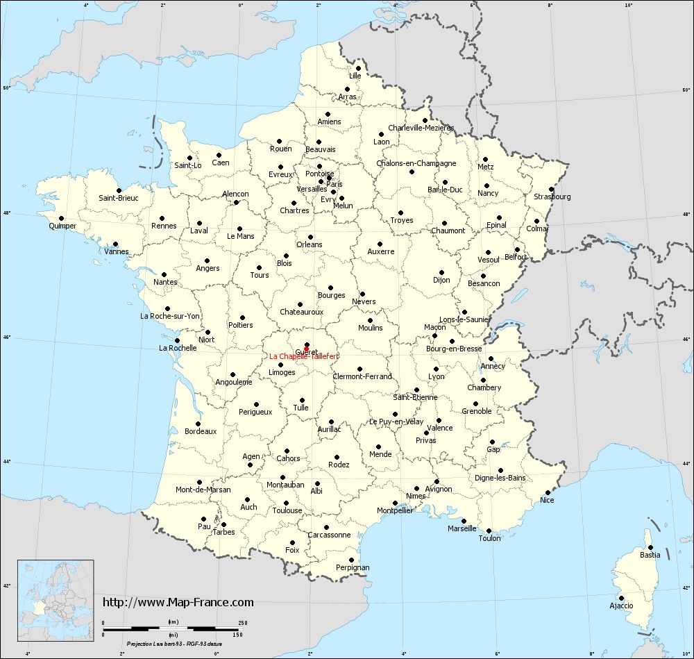
Administrative base maps of La Chapelle-Taillefert
|

See the administrative base map of La Chapelle-Taillefert in full screen (1000 x 949)
|
Small administrative base map of La Chapelle-Taillefert
|
This base map administrative of La Chapelle-Taillefert is reusable and modifiable by making a link to this page of the Map-France.com website or by using the given code :
|
 French Version : http://www.cartesfrance.fr