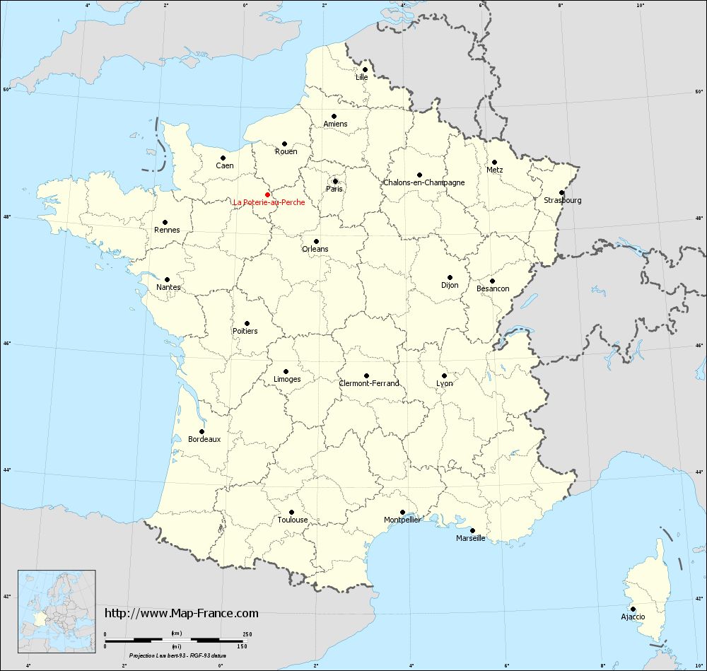
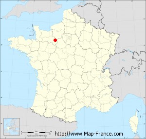
Map of La Poterie-au-Perche with regions and prefectures
|
View the map of La Poterie-au-Perche in full screen (1000 x 949)
|
You will find the location of La Poterie-au-Perche on the map of France of regions in Lambert 93 coordinates. The town of La Poterie-au-Perche is located in the department of Orne of the french region Basse-Normandie.
Geographical sexagesimal coordinates / GPS (WGS84):
Latitude: 48° 37' 40'' North
Longitude: 00° 43' 15'' East
Geographical decimal coordinates :
Latitude: 48.626 degrees (48.626° North)
Longitude: 0.721 degrees (0.721° East)
Lambert 93 coordinates :
X: 5 321 hectometers
Y: 68 388 hectometers
Lambert 2 coordinates :
X: 4 809 hectometers
Y: 24 045 hectometers
Below, the geographical coordinates of Alençon, prefecture of the Orne department:
Geographical sexagesimal coordinates / GPS (WGS84):
Latitude: 48° 25' 47'' North
Longitude: 00° 05' 31'' East
Geographical decimal coordinates :
Latitude: 48.433 degrees (48.433° North)
Longitude: 0.089 degrees (0.089° East)
Lambert 93 coordinates :
X: 4 849 hectometers
Y: 68 183 hectometers
Lambert 2 coordinates :
X: 4 339 hectometers
Y: 23 836 hectometers
|
This map of La Poterie-au-Perche is reusable and modifiable by making a link to this page of the Map-France.com website or by using the given code :
|
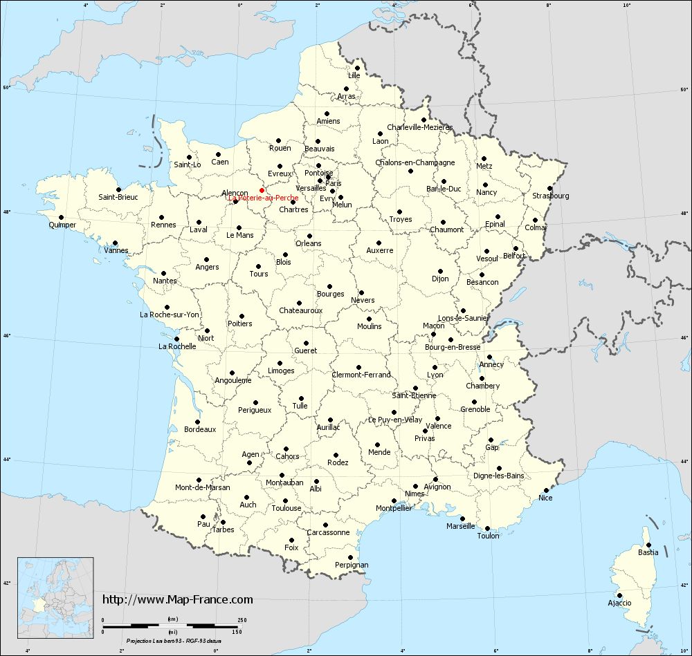
Map of La Poterie-au-Perche with departments and prefectures
|
Voir la carte of La Poterie-au-Perche en grand format (1000 x 949)
|
Here is the localization of La Poterie-au-Perche on the France map of departments in Lambert 93 coordinates. The city of La Poterie-au-Perche is shown on the map by a red point.
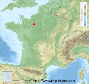
The town of La Poterie-au-Perche is located in the department of Orne of the french region Basse-Normandie.
The latitude of La Poterie-au-Perche is 48.626 degrees North.
The longitude of La Poterie-au-Perche is 0.721 degrees East.
Here the distance between La Poterie-au-Perche and the biggest cities of France:
Distances are calculated as the crow flies (orthodromic distance)
Distance between La Poterie-au-Perche and Paris : 121.89 kilometers
Distance between La Poterie-au-Perche and Marseille : 693.34 kilometers
Distance between La Poterie-au-Perche and Lyon : 444.77 kilometers
Distance between La Poterie-au-Perche and Toulouse : 561.28 kilometers
Distance between La Poterie-au-Perche and Nice : 742.59 kilometers
Distance between La Poterie-au-Perche and Nantes : 230.46 kilometers
Distance between La Poterie-au-Perche and Strasbourg : 516.71 kilometers
Distance between La Poterie-au-Perche and Montpellier : 607.95 kilometers
Distance between La Poterie-au-Perche and Bordeaux : 431.76 kilometers
Distance between La Poterie-au-Perche and Lille : 278.25 kilometers
Distance between La Poterie-au-Perche and Rennes : 186.34 kilometers
Distance between La Poterie-au-Perche and Reims : 251.57 kilometers
Clic here to see the map of La Poterie-au-Perche in full screen:
La Poterie-au-Perche on the map of french departments
|
This administrative map of La Poterie-au-Perche is reusable and modifiable by making a link to this page of the Map-France.com website or by using the given code :
|
Administrative base maps of La Poterie-au-Perche
|

See the administrative base map of La Poterie-au-Perche in full screen (1000 x 949)
|
Small administrative base map of La Poterie-au-Perche
|
This base map administrative of La Poterie-au-Perche is reusable and modifiable by making a link to this page of the Map-France.com website or by using the given code :
|
 French Version : http://www.cartesfrance.fr