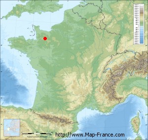
Map of La Selle-la-Forge with regions and prefectures
|
View the map of La Selle-la-Forge in full screen (1000 x 949)
|
You will find the location of La Selle-la-Forge on the map of France of regions in Lambert 93 coordinates. The town of La Selle-la-Forge is located in the department of Orne of the french region Basse-Normandie.
Geographical sexagesimal coordinates / GPS (WGS84):
Latitude: 48° 44' 00'' North
Longitude: 00° 32' 27'' West
Geographical decimal coordinates :
Latitude: 48.734 degrees (48.734° North)
Longitude: -0.541 degrees (0.541° West)
Lambert 93 coordinates :
X: 4 397 hectometers
Y: 68 540 hectometers
Lambert 2 coordinates :
X: 3 883 hectometers
Y: 24 189 hectometers
Below, the geographical coordinates of Alençon, prefecture of the Orne department:
Geographical sexagesimal coordinates / GPS (WGS84):
Latitude: 48° 25' 47'' North
Longitude: 00° 05' 31'' East
Geographical decimal coordinates :
Latitude: 48.433 degrees (48.433° North)
Longitude: 0.089 degrees (0.089° East)
Lambert 93 coordinates :
X: 4 849 hectometers
Y: 68 183 hectometers
Lambert 2 coordinates :
X: 4 339 hectometers
Y: 23 836 hectometers
|
This map of La Selle-la-Forge is reusable and modifiable by making a link to this page of the Map-France.com website or by using the given code :
|
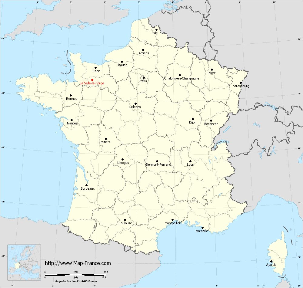
Map of La Selle-la-Forge with departments and prefectures
|
Voir la carte of La Selle-la-Forge en grand format (1000 x 949)
|
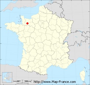
Here is the localization of La Selle-la-Forge on the France map of departments in Lambert 93 coordinates. The city of La Selle-la-Forge is shown on the map by a red point.
The town of La Selle-la-Forge is located in the department of Orne of the french region Basse-Normandie.
The latitude of La Selle-la-Forge is 48.734 degrees North.
The longitude of La Selle-la-Forge is 0.541 degrees West.
Here the distance between La Selle-la-Forge and the biggest cities of France:
Distances are calculated as the crow flies (orthodromic distance)
Distance between La Selle-la-Forge and Paris : 211.76 kilometers
Distance between La Selle-la-Forge and Marseille : 757.76 kilometers
Distance between La Selle-la-Forge and Lyon : 522.86 kilometers
Distance between La Selle-la-Forge and Toulouse : 590.58 kilometers
Distance between La Selle-la-Forge and Nice : 818.94 kilometers
Distance between La Selle-la-Forge and Nantes : 184.37 kilometers
Distance between La Selle-la-Forge and Strasbourg : 608.86 kilometers
Distance between La Selle-la-Forge and Montpellier : 662.8 kilometers
Distance between La Selle-la-Forge and Bordeaux : 432.3 kilometers
Distance between La Selle-la-Forge and Lille : 332.73 kilometers
Distance between La Selle-la-Forge and Rennes : 109.04 kilometers
Distance between La Selle-la-Forge and Reims : 338.34 kilometers
Clic here to see the map of La Selle-la-Forge in full screen:
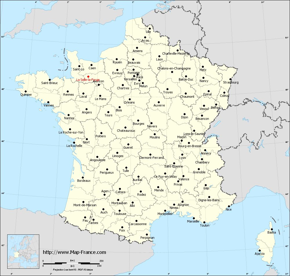
La Selle-la-Forge on the map of french departments
|
This administrative map of La Selle-la-Forge is reusable and modifiable by making a link to this page of the Map-France.com website or by using the given code :
|
Administrative base maps of La Selle-la-Forge
|

See the administrative base map of La Selle-la-Forge in full screen (1000 x 949)
|
Small administrative base map of La Selle-la-Forge
|
This base map administrative of La Selle-la-Forge is reusable and modifiable by making a link to this page of the Map-France.com website or by using the given code :
|
 French Version : http://www.cartesfrance.fr