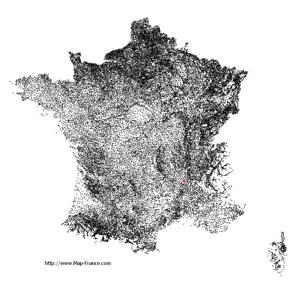
Labatie-d'Andaure on the relief France map in Lambert 93 coordinates
|

See the map of Labatie-d'Andaure in full screen (1000 x 949)
|
At left, here is the location of Labatie-d'Andaure on the relief France map in Lambert 93 coordinates.
Here are the altitudes of Labatie-d'Andaure :
- Town hall altitude of Labatie-d'Andaure is 520 meters
- Minimum altitude of Labatie-d'Andaure is 473 meters
- Maximum altitude of Labatie-d'Andaure is 1 003 meters
- Medium altitude of Labatie-d'Andaure is 738 meters
Here are the altitudes of Privas, prefecture of Ardèche department:
- Town hall altitude of Privas is 298 meters
- Minimum altitude of Privas is 200 meters
- Maximum altitude of Privas is 750 meters
- Medium altitude of Privas is 475 meters
Here are the altitudes of the french biggest cities:
Paris : 33 meters
Marseille : 20 meters
Lyon : 237 meters
Toulouse : 146 meters
Nice : 10 meters
Nantes : 20 meters
Strasbourg : 144 meters
Montpellier : 35 meters
Bordeaux : 16 meters
Lille : 20 meters
Rennes : 35 meters
Reims : 83 meters
Click here for the terrain map of Labatie-d'Andaure in full screen:
Relief map of Labatie-d%27Andaure
|
This relief map of Labatie-d'Andaure is reusable and modifiable by making a link to this page of the Map-France.com website or by using the given code :
|
Terrain base map of Labatie-d'Andaure
|

See the terrain base map of Labatie-d'Andaure in full screen (1000 x 949)
|
Small relief base map of Labatie-d'Andaure

|
This base map of Labatie-d'Andaure is reusable and modifiable by making a link to this page of the Map-France.com website or by using the given code :
|
Map of Labatie-d'Andaure with regions and prefectures
|
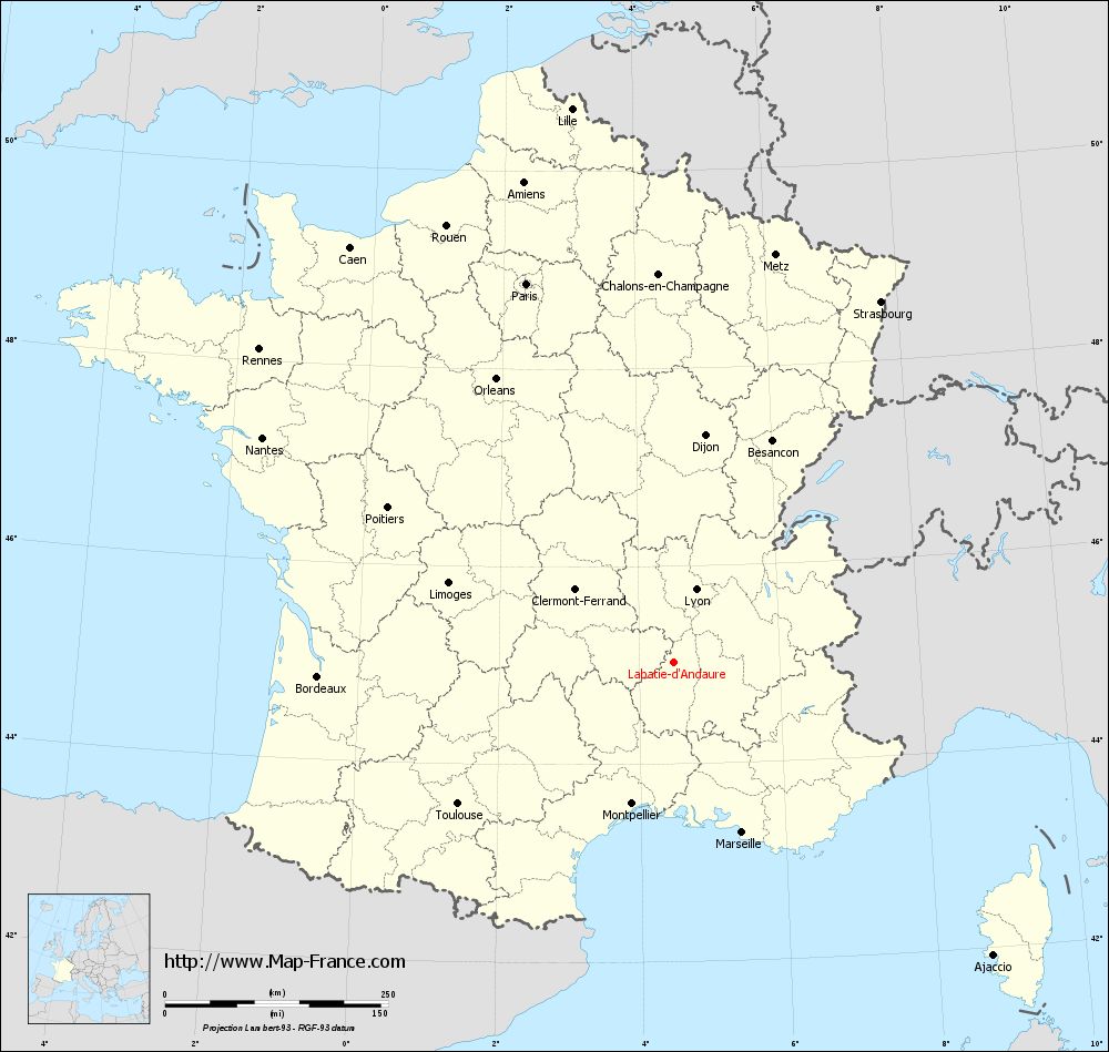
View the map of Labatie-d'Andaure in full screen (1000 x 949)
|
You will find the location of Labatie-d'Andaure on the map of France of regions in Lambert 93 coordinates. The town of Labatie-d'Andaure is located in the department of Ardèche of the french region Rhône-Alpes.
Geographical sexagesimal coordinates / GPS (WGS84):
Latitude: 45° 01' 29'' North
Longitude: 04° 29' 35'' East
Geographical decimal coordinates :
Latitude: 45.025 degrees (45.025° North)
Longitude: 4.496 degrees (4.496° East)
Lambert 93 coordinates :
X: 8 176 hectometers
Y: 64 373 hectometers
Lambert 2 coordinates :
X: 7 700 hectometers
Y: 20 050 hectometers
Below, the geographical coordinates of Privas, prefecture of the Ardèche department:
Geographical sexagesimal coordinates / GPS (WGS84):
Latitude: 44° 44' 06'' North
Longitude: 04° 35' 57'' East
Geographical decimal coordinates :
Latitude: 44.736 degrees (44.736° North)
Longitude: 4.597 degrees (4.597° East)
Lambert 93 coordinates :
X: 8 266 hectometers
Y: 64 053 hectometers
Lambert 2 coordinates :
X: 7 793 hectometers
Y: 19 730 hectometers
|
This map of Labatie-d'Andaure is reusable and modifiable by making a link to this page of the Map-France.com website or by using the given code :
|
Map of Labatie-d'Andaure with departments and prefectures
|
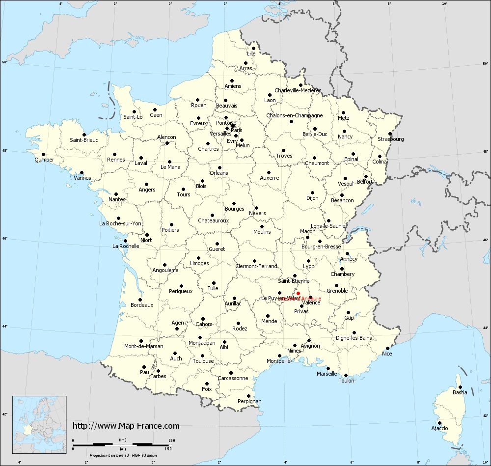
Voir la carte of Labatie-d'Andaure en grand format (1000 x 949)
|
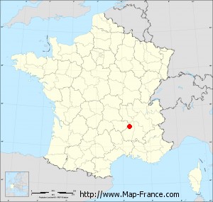
Here is the localization of Labatie-d'Andaure on the France map of departments in Lambert 93 coordinates. The city of Labatie-d'Andaure is shown on the map by a red point.
The town of Labatie-d'Andaure is located in the department of Ardèche of the french region Rhône-Alpes.
The latitude of Labatie-d'Andaure is 45.025 degrees North.
The longitude of Labatie-d'Andaure is 4.496 degrees East.
Here the distance between Labatie-d'Andaure and the biggest cities of France:
Distances are calculated as the crow flies (orthodromic distance)
Distance between Labatie-d'Andaure and Paris : 456.29 kilometers
Distance between Labatie-d'Andaure and Marseille : 204.98 kilometers
Distance between Labatie-d'Andaure and Lyon : 85.85 kilometers
Distance between Labatie-d'Andaure and Toulouse : 289.23 kilometers
Distance between Labatie-d'Andaure and Nice : 264.09 kilometers
Distance between Labatie-d'Andaure and Nantes : 525.61 kilometers
Distance between Labatie-d'Andaure and Strasbourg : 466.7 kilometers
Distance between Labatie-d'Andaure and Montpellier : 164.88 kilometers
Distance between Labatie-d'Andaure and Bordeaux : 399.27 kilometers
Distance between Labatie-d'Andaure and Lille : 631.87 kilometers
Distance between Labatie-d'Andaure and Rennes : 582.71 kilometers
Distance between Labatie-d'Andaure and Reims : 471.65 kilometers
Clic here to see the map of Labatie-d'Andaure in full screen:
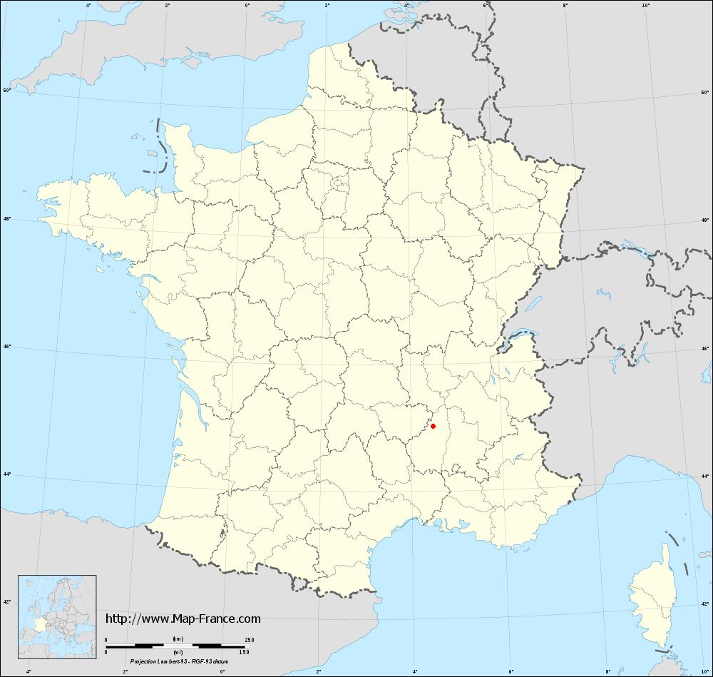
Labatie-d%27Andaure on the map of french departments
|
This administrative map of Labatie-d'Andaure is reusable and modifiable by making a link to this page of the Map-France.com website or by using the given code :
|
Administrative base maps of Labatie-d'Andaure
|
See the administrative base map of Labatie-d'Andaure in full screen (1000 x 949)
|
Small administrative base map of Labatie-d'Andaure
|
This base map administrative of Labatie-d'Andaure is reusable and modifiable by making a link to this page of the Map-France.com website or by using the given code :
|
 French Version : http://www.cartesfrance.fr