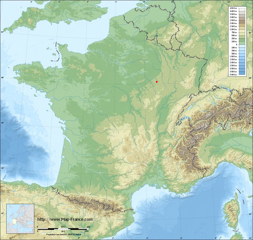
Laferté-sur-Aube on the relief France map in Lambert 93 coordinates
|

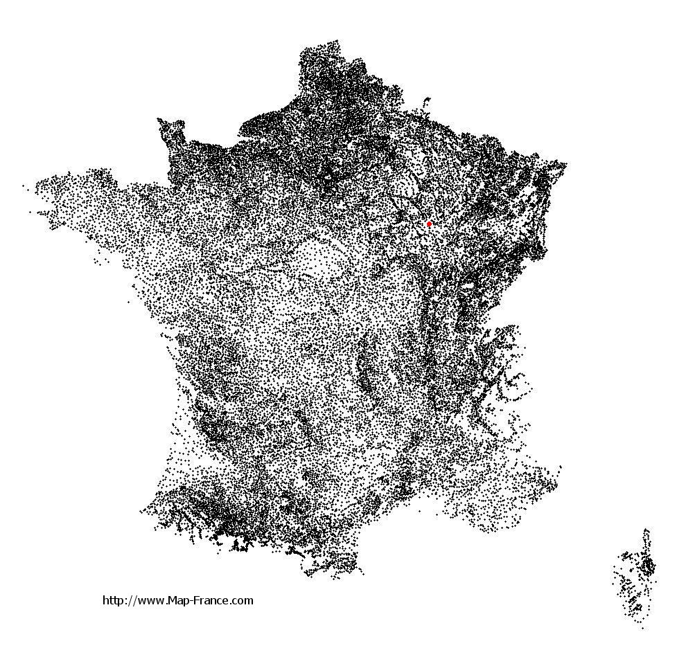
See the map of Laferté-sur-Aube in full screen (1000 x 949)
|
At left, here is the location of Laferté-sur-Aube on the relief France map in Lambert 93 coordinates.
Here are the altitudes of Laferté-sur-Aube :
- Town hall altitude of Laferté-sur-Aube is 210 meters
- Minimum altitude of Laferté-sur-Aube is 196 meters
- Maximum altitude of Laferté-sur-Aube is 359 meters
- Medium altitude of Laferté-sur-Aube is 278 meters
Here are the altitudes of Chaumont, prefecture of Haute-Marne department:
- Town hall altitude of Chaumont is 290 meters
- Minimum altitude of Chaumont is 247 meters
- Maximum altitude of Chaumont is 416 meters
- Medium altitude of Chaumont is 332 meters
Here are the altitudes of the french biggest cities:
Paris : 33 meters
Marseille : 20 meters
Lyon : 237 meters
Toulouse : 146 meters
Nice : 10 meters
Nantes : 20 meters
Strasbourg : 144 meters
Montpellier : 35 meters
Bordeaux : 16 meters
Lille : 20 meters
Rennes : 35 meters
Reims : 83 meters
Click here for the terrain map of Laferté-sur-Aube in full screen:
Relief map of Laferté-sur-Aube
|
This relief map of Laferté-sur-Aube is reusable and modifiable by making a link to this page of the Map-France.com website or by using the given code :
|
Terrain base map of Laferté-sur-Aube
|
See the terrain base map of Laferté-sur-Aube in full screen (1000 x 949)
|
Small relief base map of Laferté-sur-Aube

|
This base map of Laferté-sur-Aube is reusable and modifiable by making a link to this page of the Map-France.com website or by using the given code :
|
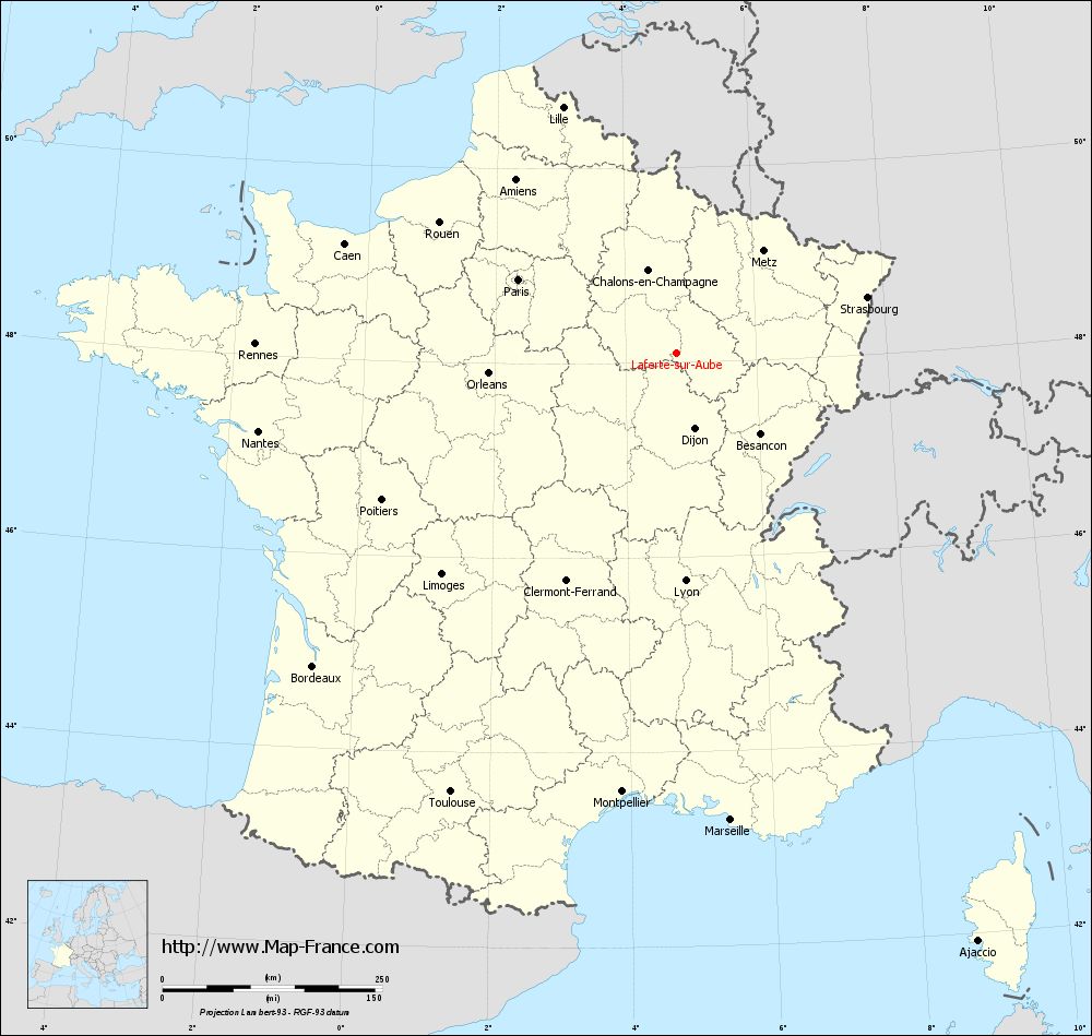
Map of Laferté-sur-Aube with regions and prefectures
|
View the map of Laferté-sur-Aube in full screen (1000 x 949)
|
You will find the location of Laferté-sur-Aube on the map of France of regions in Lambert 93 coordinates. The town of Laferté-sur-Aube is located in the department of Haute-Marne of the french region Champagne-Ardenne.
Geographical sexagesimal coordinates / GPS (WGS84):
Latitude: 48° 05' 51'' North
Longitude: 04° 46' 57'' East
Geographical decimal coordinates :
Latitude: 48.096 degrees (48.096° North)
Longitude: 4.782 degrees (4.782° East)
Lambert 93 coordinates :
X: 8 327 hectometers
Y: 67 789 hectometers
Lambert 2 coordinates :
X: 7 822 hectometers
Y: 23 471 hectometers
Below, the geographical coordinates of Chaumont, prefecture of the Haute-Marne department:
Geographical sexagesimal coordinates / GPS (WGS84):
Latitude: 48° 06' 39'' North
Longitude: 05° 08' 19'' East
Geographical decimal coordinates :
Latitude: 48.11 degrees (48.11° North)
Longitude: 5.14 degrees (5.14° East)
Lambert 93 coordinates :
X: 8 591 hectometers
Y: 67 811 hectometers
Lambert 2 coordinates :
X: 8 086 hectometers
Y: 23 495 hectometers
|
This map of Laferté-sur-Aube is reusable and modifiable by making a link to this page of the Map-France.com website or by using the given code :
|
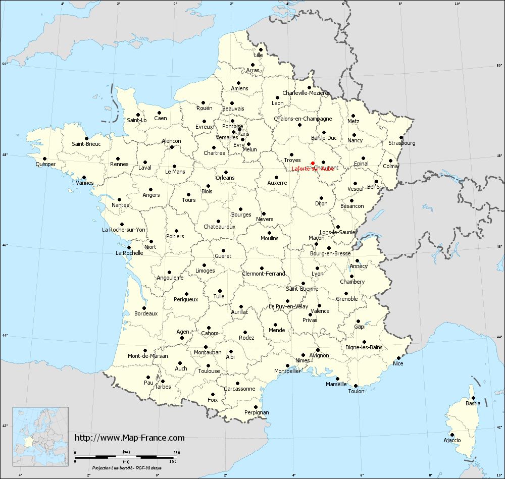
Map of Laferté-sur-Aube with departments and prefectures
|
Voir la carte of Laferté-sur-Aube en grand format (1000 x 949)
|
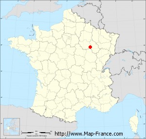
Here is the localization of Laferté-sur-Aube on the France map of departments in Lambert 93 coordinates. The city of Laferté-sur-Aube is shown on the map by a red point.
The town of Laferté-sur-Aube is located in the department of Haute-Marne of the french region Champagne-Ardenne.
The latitude of Laferté-sur-Aube is 48.096 degrees North.
The longitude of Laferté-sur-Aube is 4.782 degrees East.
Here the distance between Laferté-sur-Aube and the biggest cities of France:
Distances are calculated as the crow flies (orthodromic distance)
Distance between Laferté-sur-Aube and Paris : 198.54 kilometers
Distance between Laferté-sur-Aube and Marseille : 535.33 kilometers
Distance between Laferté-sur-Aube and Lyon : 259.64 kilometers
Distance between Laferté-sur-Aube and Toulouse : 562.08 kilometers
Distance between Laferté-sur-Aube and Nice : 524.04 kilometers
Distance between Laferté-sur-Aube and Nantes : 483.96 kilometers
Distance between Laferté-sur-Aube and Strasbourg : 226.17 kilometers
Distance between Laferté-sur-Aube and Montpellier : 503.51 kilometers
Distance between Laferté-sur-Aube and Bordeaux : 546.33 kilometers
Distance between Laferté-sur-Aube and Lille : 308.09 kilometers
Distance between Laferté-sur-Aube and Rennes : 479.38 kilometers
Distance between Laferté-sur-Aube and Reims : 140.33 kilometers
Clic here to see the map of Laferté-sur-Aube in full screen:
Laferté-sur-Aube on the map of french departments
|
This administrative map of Laferté-sur-Aube is reusable and modifiable by making a link to this page of the Map-France.com website or by using the given code :
|
Administrative base maps of Laferté-sur-Aube
|

See the administrative base map of Laferté-sur-Aube in full screen (1000 x 949)
|
Small administrative base map of Laferté-sur-Aube
|
This base map administrative of Laferté-sur-Aube is reusable and modifiable by making a link to this page of the Map-France.com website or by using the given code :
|
 French Version : http://www.cartesfrance.fr