Lambach photos
Find a town, a zip code,
a department, a region... in France
I like Map-France.com !
Map of France
Regions
Departments
Cities
Hotels
Directions
Satellite
Weather
Map of France
>
Lorraine
>
Moselle
>
Lambach
>
Photos Lambach
Lambach pictures
Lambach
Hotel
Road map
Map
Photos
Weather
Population
Housing
Here are the
photos of the town of Lambach
and nearby towns. Lambach is located in the department of Moselle in the region of Lorraine. You will find the satellite map of Lambach under these photos.
To see photos of nearby towns of Lambach, you can try the following links :
-
Photos of Siersthal (57410)
: town located at 1.26 km
-
Photos of Reyersviller (57230)
: town located at 2.56 km
-
Photos of Enchenberg (57410)
: town located at 2.83 km
-
Photos of Lemberg (57620)
: town located at 3.64 km
-
Photos of Petit-Réderching (57410)
: town located at 4.43 km
-
Photos of Hottviller (57720)
: town located at 4.75 km
-
Photos of Bitche (57230)
: town located at 5.49 km
-
Photos of Saint-Louis-lès-Bitche (57620)
: town located at 5.59 km
-
Photos of Montbronn (57410)
: town located at 5.86 km
-
Photos of Schorbach (57230)
: town located at 5.97 km
-
Photos of Goetzenbruck (57620)
: town located at 6.61 km
-
Photos of Rohrbach-lès-Bitche (57410)
: town located at 7.07 km
- photos of the department prefecture of Moselle :
photos of Metz
- pictures of others cities of Moselle :
Moselle
To see Lambach from the sky, here is the satellite map of the town of Lambach :
Lambach map
.
I like Lambach !
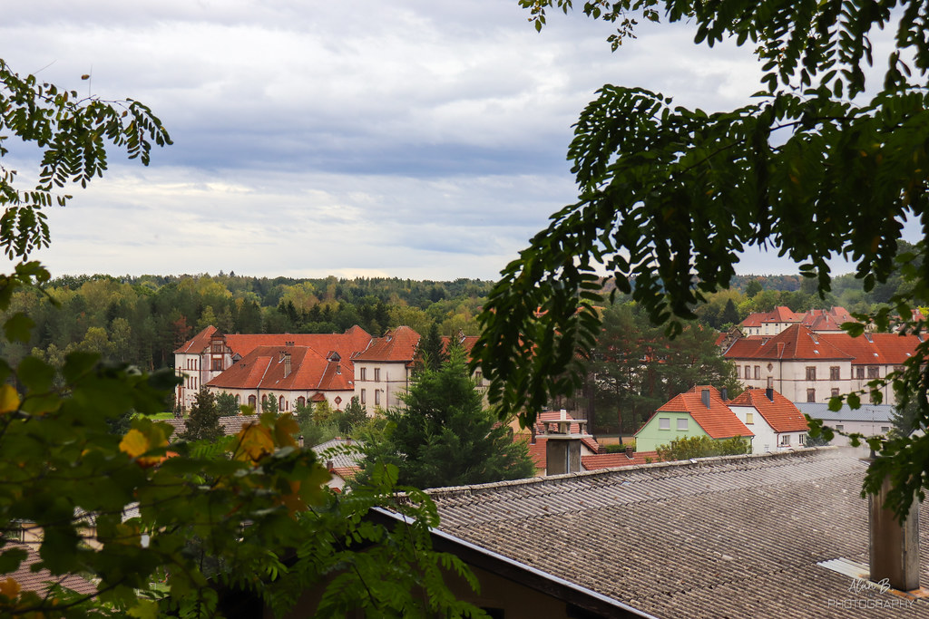
Photos of the town of Lambach
These photos taken near the town of Lambach can be shown in full screen clicking on the thumbnails. Photos are copyrighted by their owners.
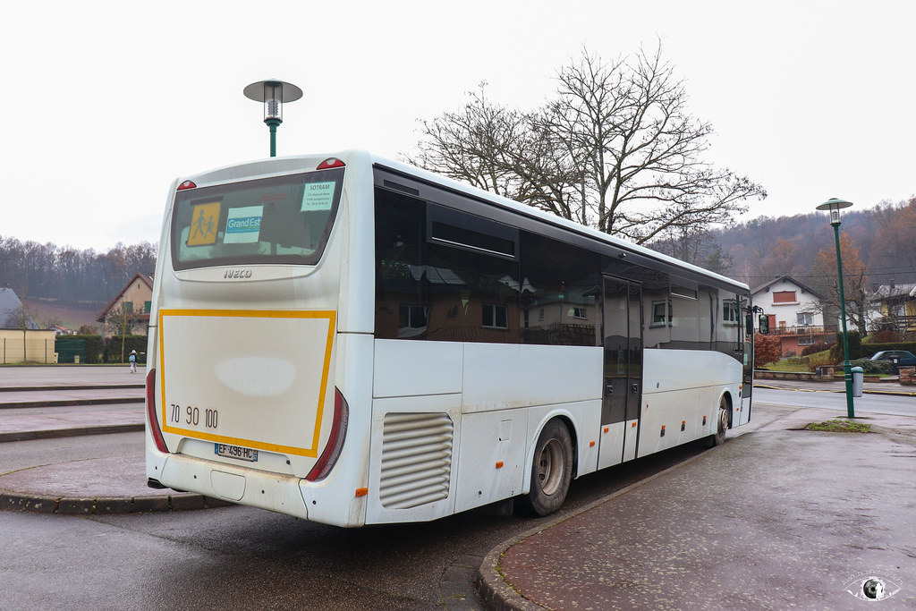
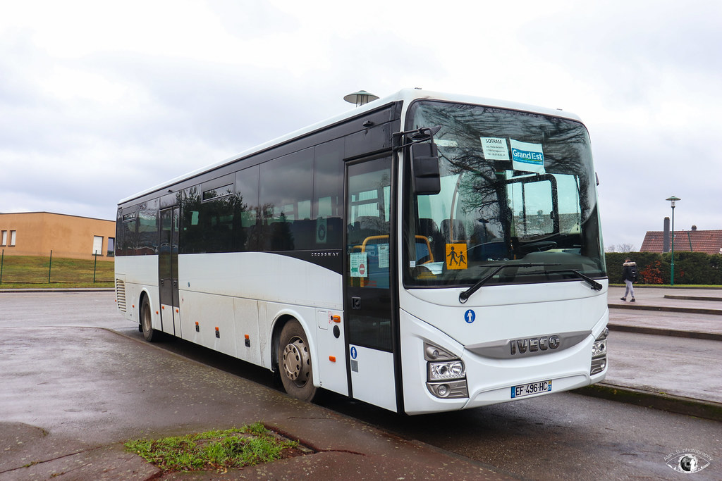
Fluo Grand Est 57 / Iveco Crossway Pop 13 n°496 - SOTRAM
Fluo Grand Est 57 / Iveco Crossway Pop 13 n°496 - SOTRAM
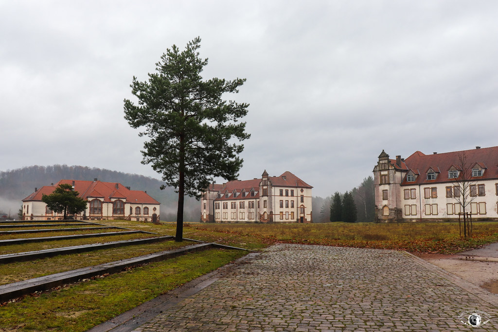
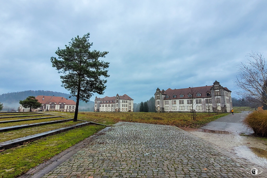
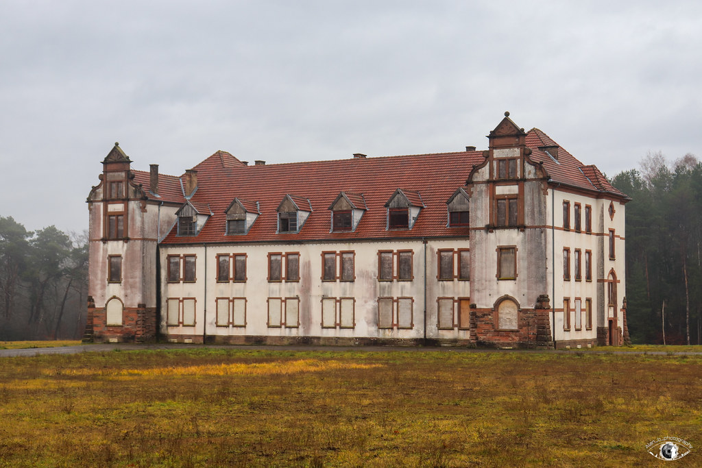
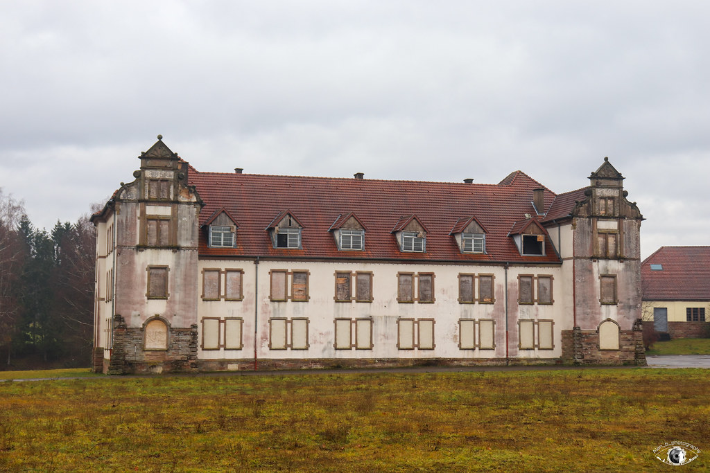
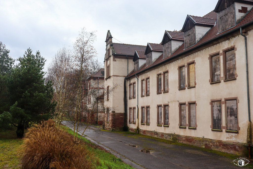
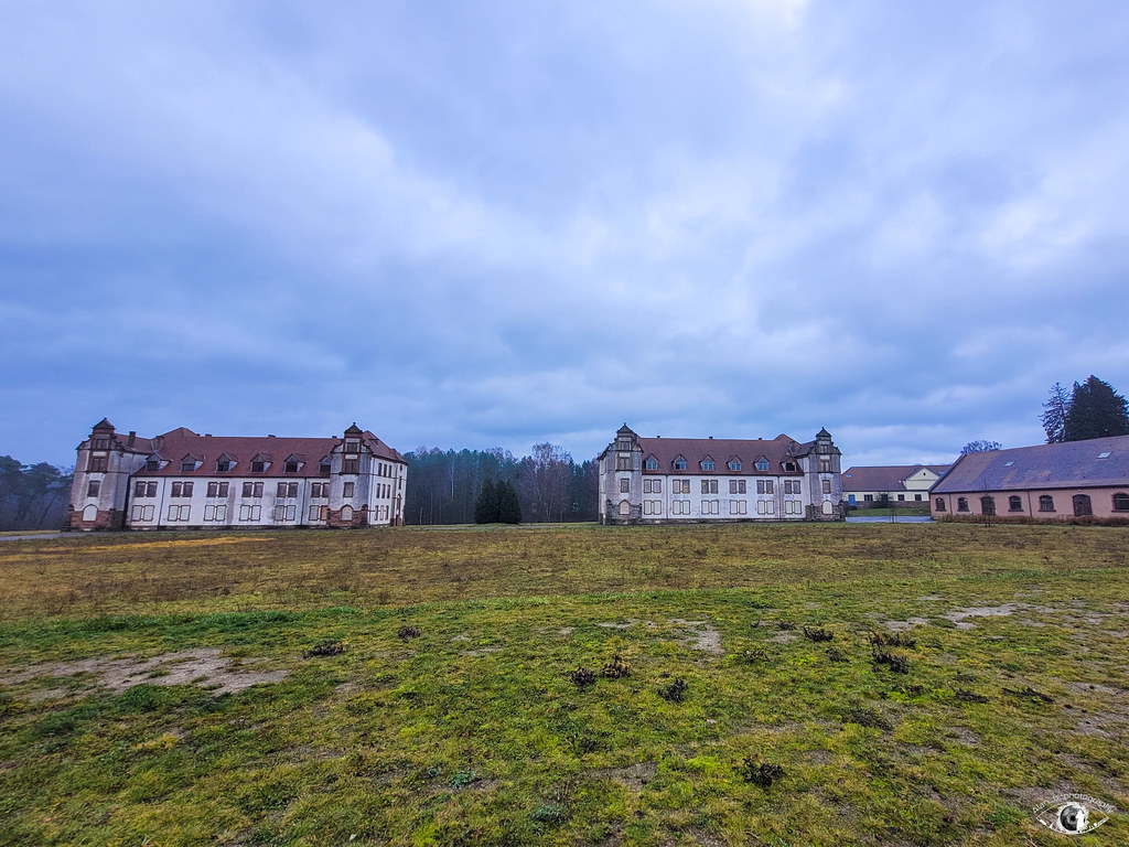
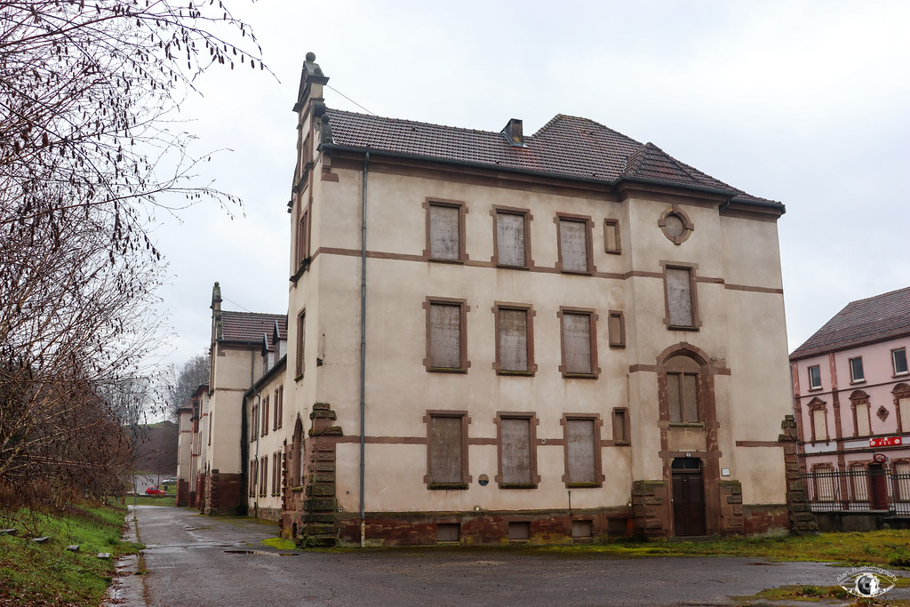
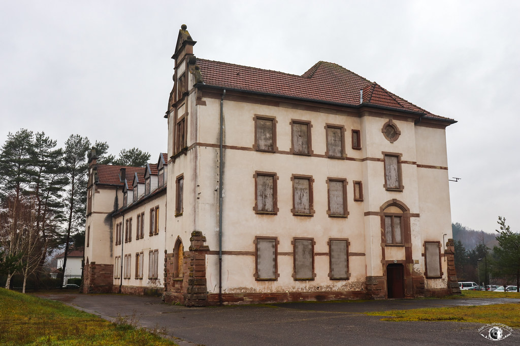
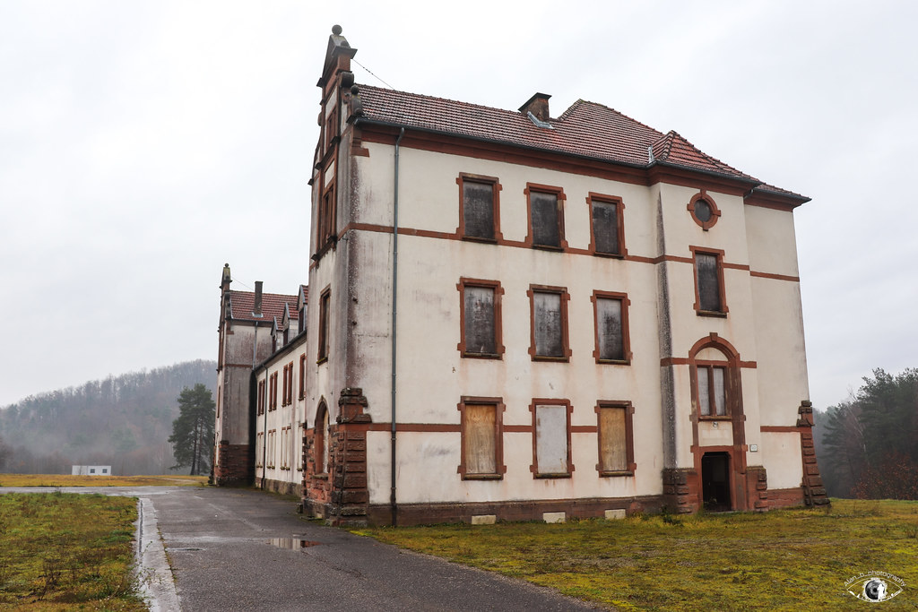
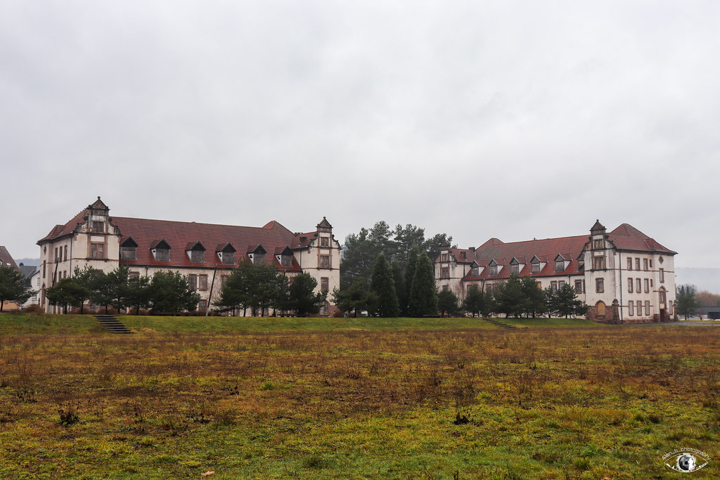
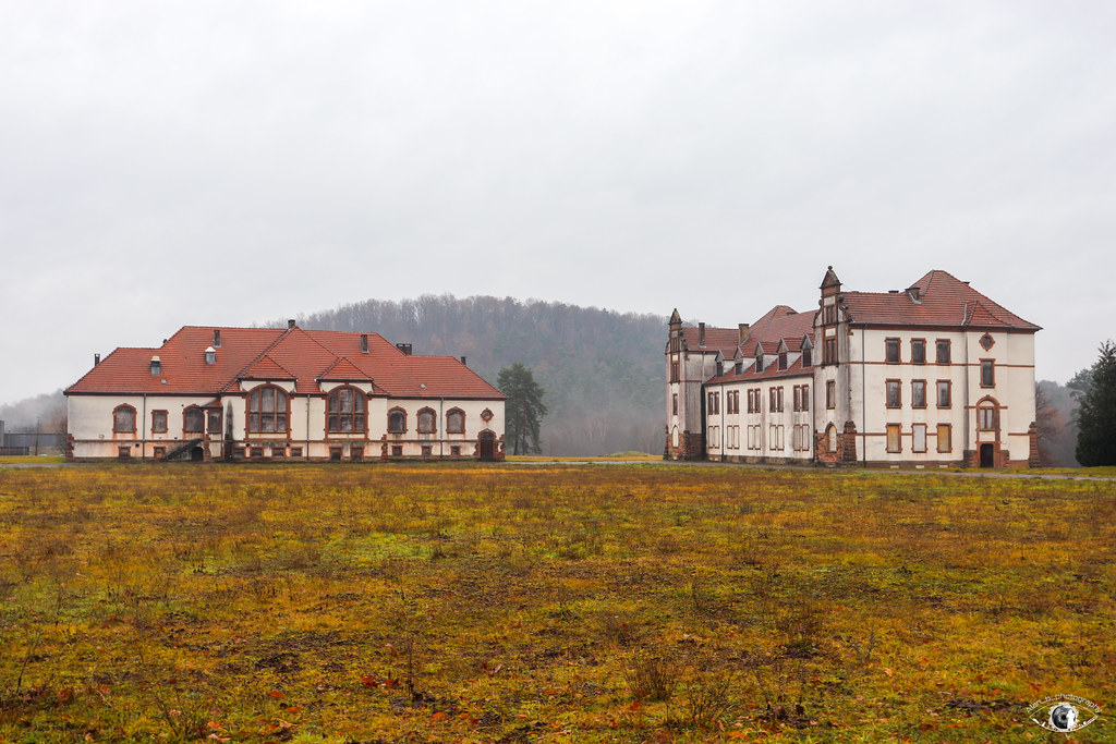
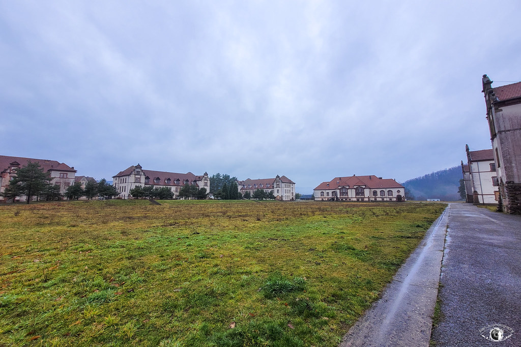
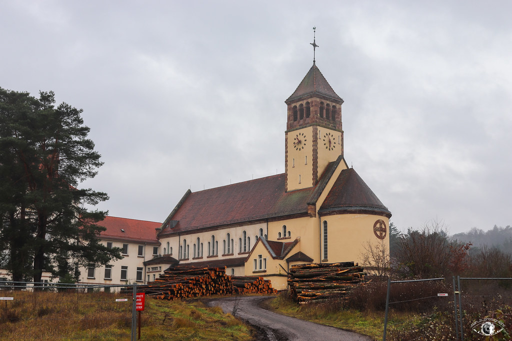
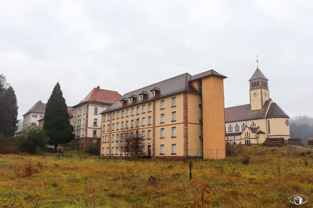
Ancien quartier militaire du 4eme Régiment des Cuirassiers
Ancien quartier militaire du 4eme Régiment des Cuirassiers
Ancien quartier militaire du 4eme Régiment des Cuirassiers
Ancien quartier militaire du 4eme Régiment des Cuirassiers
Ancien quartier militaire du 4eme Régiment des Cuirassiers
Ancien quartier militaire du 4eme Régiment des Cuirassiers
Ancien quartier militaire du 4eme Régiment des Cuirassiers
Ancien quartier militaire du 4eme Régiment des Cuirassiers
Ancien quartier militaire du 4eme Régiment des Cuirassiers
Ancien quartier militaire du 4eme Régiment des Cuirassiers
Ancien quartier militaire du 4eme Régiment des Cuirassiers
Ancien quartier militaire du 4eme Régiment des Cuirassiers
Ancien quartier militaire du 4eme Régiment des Cuirassiers
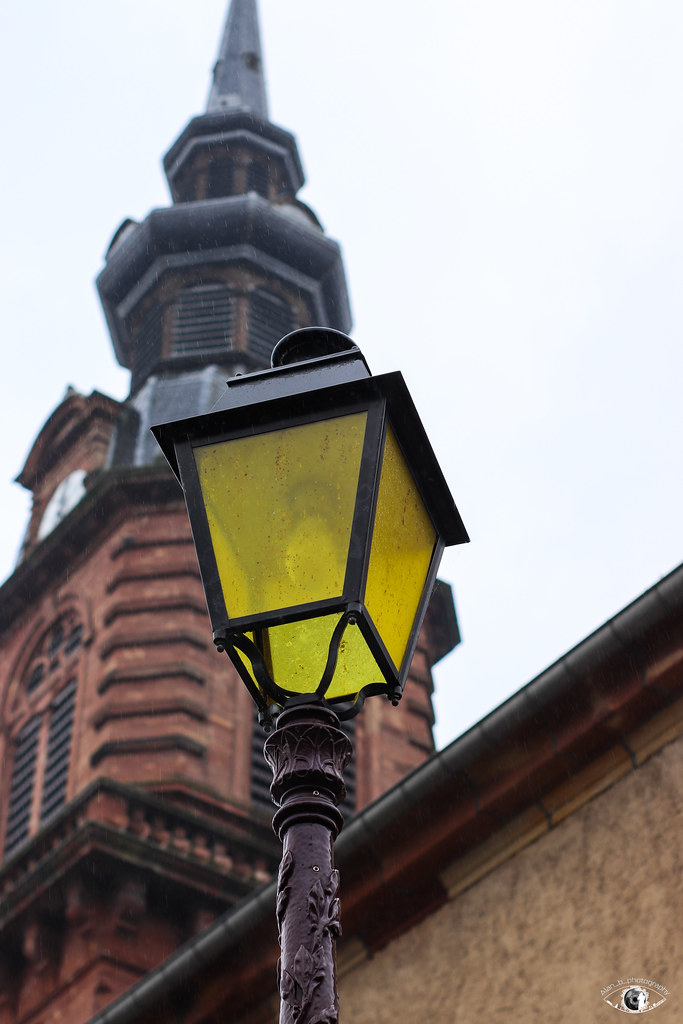
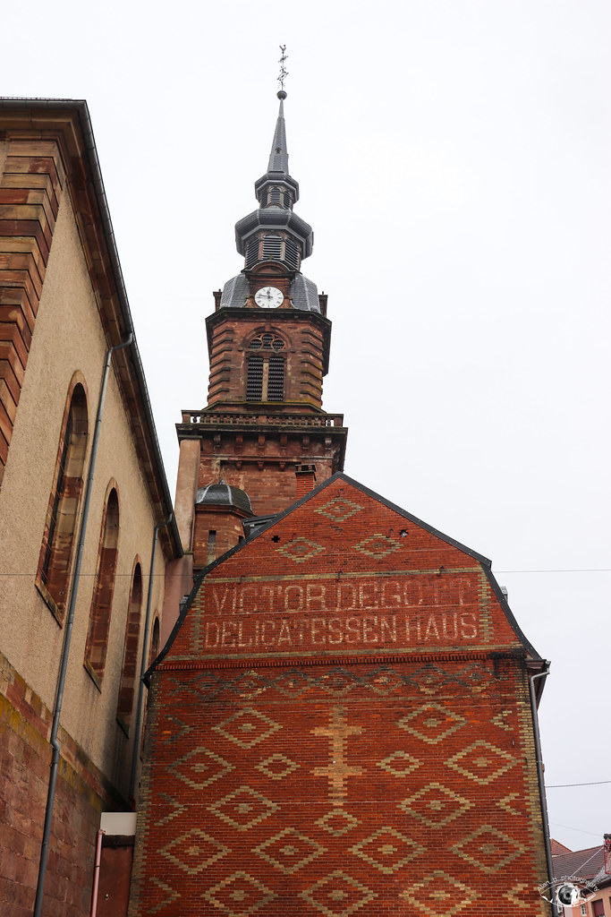
Ancien Collège et Lycée Saint-Augustin de Bitche - Rue de Lebach
Ancien Collège et Lycée Saint-Augustin de Bitche - Rue de Lebach
Ancien Collège et Lycée Saint-Augustin de Bitche - Rue Jean-Jacques Kieffer
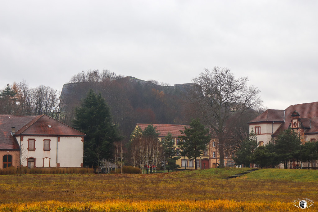
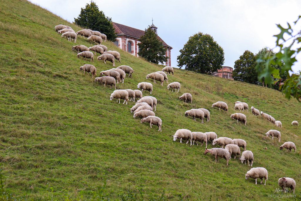
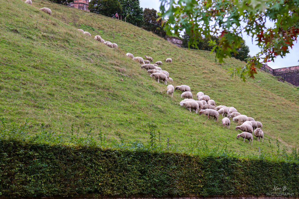
Glacis du Château
Glacis du Château
Glacis du Château
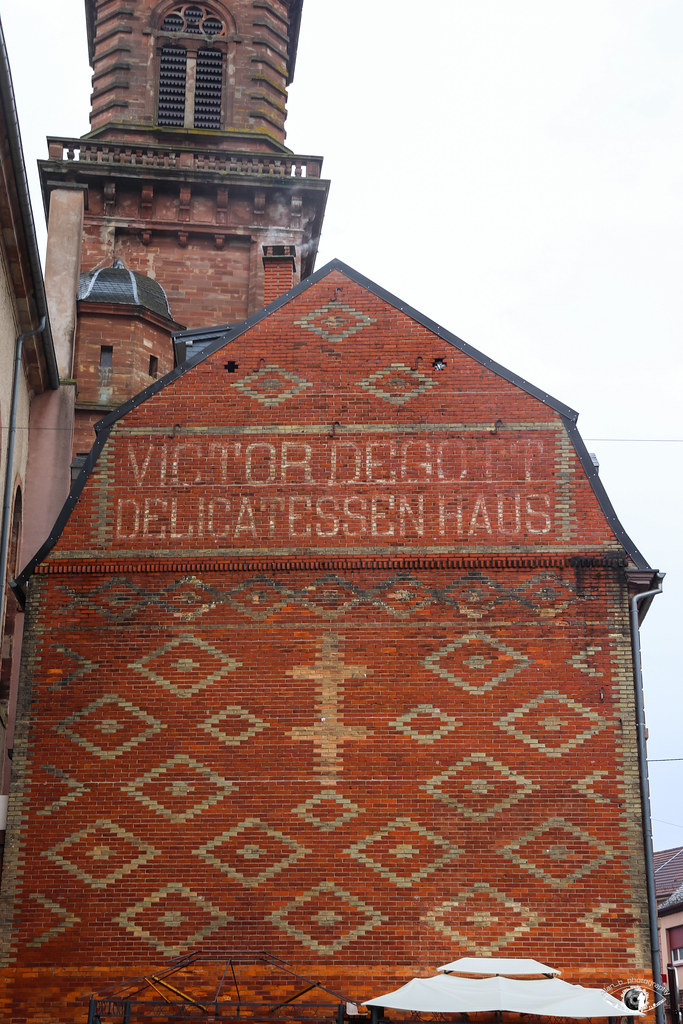
27 Rue Maréchal Foch - Bitche
27 Rue Maréchal Foch - Bitche
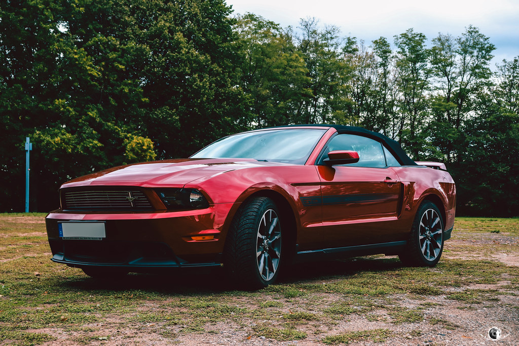
Ford Mustang GT CS | Bitche #1 B&W
Ford Mustang GT CS | Bitche #1
Citadelle de Bitche #34
Citadelle de Bitche #33
Citadelle de Bitche #32
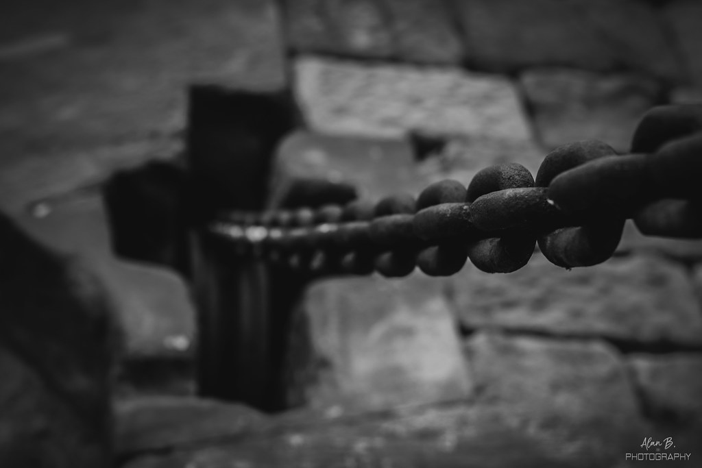
Détail : Fort Saint-Sébastien #1 B&W
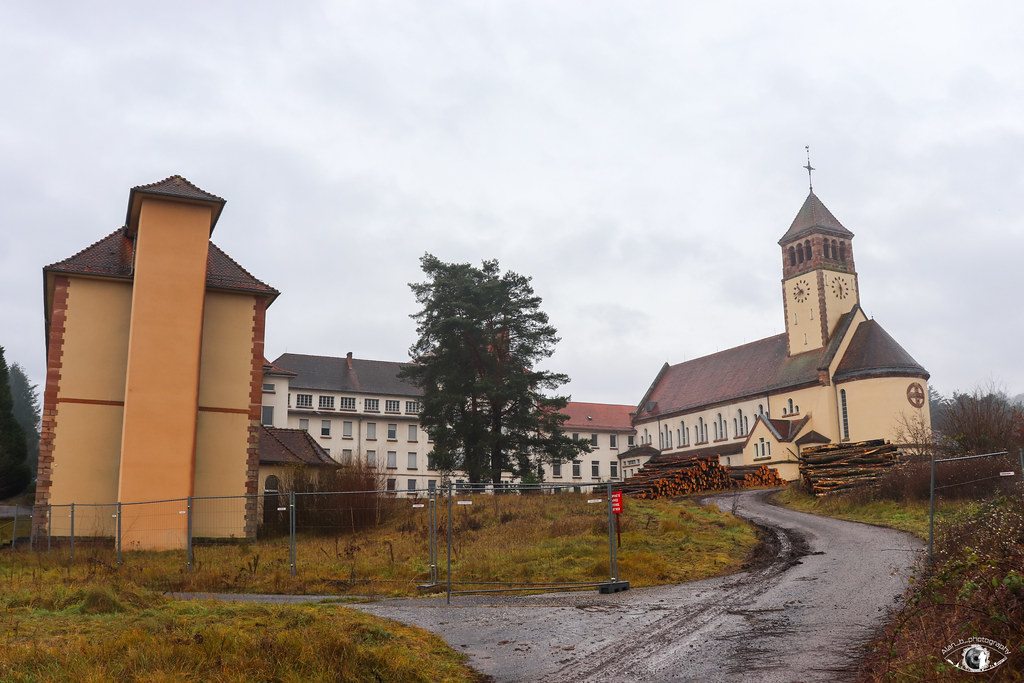
Ancien quartier militaire du 4eme Régiment des Cuirassiers - Fort Saint-Sébastien
Lambach from the sky
Old photos of the town of Lambach
These photos taken near the town of Lambach can be shown in full screen clicking on the thumbnails. Photos are copyrighted by their owners.
Other maps, hotels and towns in france
Find another town, zip code, department, region, ...
Quick links
Lambach
:
Lambach
Lambach hotels
Lambach hotels map
Lambach road map
Lambach map
Lambach pictures
Lambach weather
Lambach population
Lambach housing
Back to the menus Map of France :
Map of France
>
Lorraine
>
Moselle
>
Lambach
>
Lambach photos
Make a link to this page of Lambach with the following code :
<a href="https://www.map-france.com/Lambach-57410/photos-Lambach.html" title="photos of Lambach" />Lambach photos</a>
Map of France
|
Regions
|
Departments
|
Cities
|
Partners
|
Terms
|
Contact