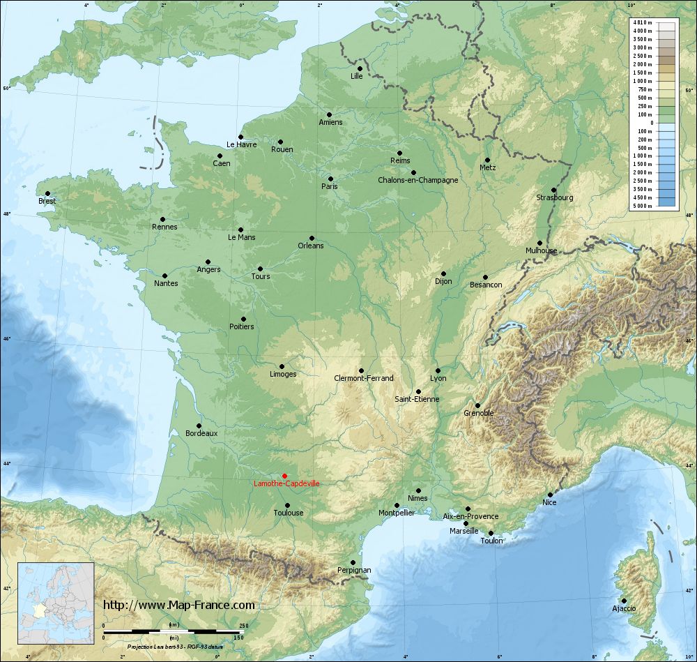
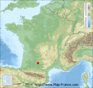
Lamothe-Capdeville on the relief France map in Lambert 93 coordinates
|
See the map of Lamothe-Capdeville in full screen (1000 x 949)
|
At left, here is the location of Lamothe-Capdeville on the relief France map in Lambert 93 coordinates.
Here are the altitudes of Lamothe-Capdeville :
- Town hall altitude of Lamothe-Capdeville is 80 meters
- Minimum altitude of Lamothe-Capdeville is 73 meters
- Maximum altitude of Lamothe-Capdeville is 205 meters
- Medium altitude of Lamothe-Capdeville is 139 meters
Here are the altitudes of Montauban, prefecture of Tarn-et-Garonne department:
- Town hall altitude of Montauban is 103 meters
- Minimum altitude of Montauban is 72 meters
- Maximum altitude of Montauban is 207 meters
- Medium altitude of Montauban is 140 meters
Here are the altitudes of the french biggest cities:
Paris : 33 meters
Marseille : 20 meters
Lyon : 237 meters
Toulouse : 146 meters
Nice : 10 meters
Nantes : 20 meters
Strasbourg : 144 meters
Montpellier : 35 meters
Bordeaux : 16 meters
Lille : 20 meters
Rennes : 35 meters
Reims : 83 meters
Click here for the terrain map of Lamothe-Capdeville in full screen:
Relief map of Lamothe-Capdeville
|
This relief map of Lamothe-Capdeville is reusable and modifiable by making a link to this page of the Map-France.com website or by using the given code :
|
Terrain base map of Lamothe-Capdeville
|

See the terrain base map of Lamothe-Capdeville in full screen (1000 x 949)
|
Small relief base map of Lamothe-Capdeville
|
This base map of Lamothe-Capdeville is reusable and modifiable by making a link to this page of the Map-France.com website or by using the given code :
|
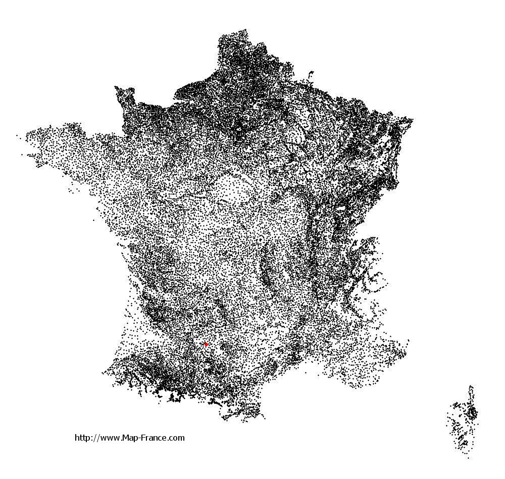
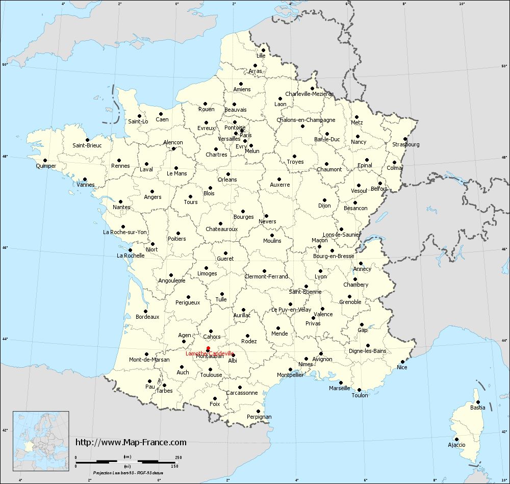
Map of Lamothe-Capdeville with regions and prefectures
|
View the map of Lamothe-Capdeville in full screen (1000 x 949)
|
You will find the location of Lamothe-Capdeville on the map of France of regions in Lambert 93 coordinates. The town of Lamothe-Capdeville is located in the department of Tarn-et-Garonne of the french region Midi-Pyrénées.
Geographical sexagesimal coordinates / GPS (WGS84):
Latitude: 44° 04' 30'' North
Longitude: 01° 22' 12'' East
Geographical decimal coordinates :
Latitude: 44.079 degrees (44.079° North)
Longitude: 1.373 degrees (1.373° East)
Lambert 93 coordinates :
X: 5 694 hectometers
Y: 63 320 hectometers
Lambert 2 coordinates :
X: 5 225 hectometers
Y: 18 976 hectometers
Below, the geographical coordinates of Montauban, prefecture of the Tarn-et-Garonne department:
Geographical sexagesimal coordinates / GPS (WGS84):
Latitude: 44° 01' 02'' North
Longitude: 01° 21' 18'' East
Geographical decimal coordinates :
Latitude: 44.018 degrees (44.018° North)
Longitude: 1.36 degrees (1.36° East)
Lambert 93 coordinates :
X: 5 681 hectometers
Y: 63 256 hectometers
Lambert 2 coordinates :
X: 5 212 hectometers
Y: 18 911 hectometers
|
This map of Lamothe-Capdeville is reusable and modifiable by making a link to this page of the Map-France.com website or by using the given code :
|
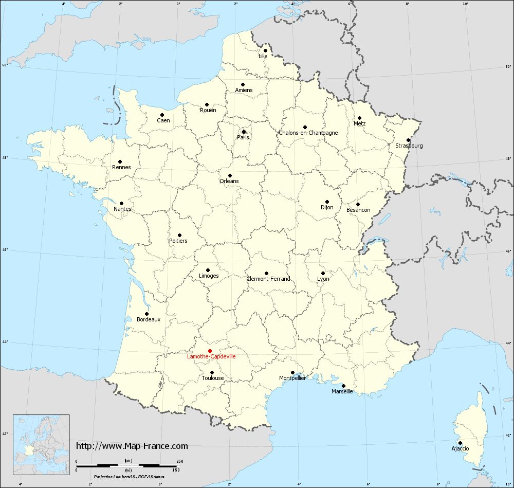
Map of Lamothe-Capdeville with departments and prefectures
|
Voir la carte of Lamothe-Capdeville en grand format (1000 x 949)
|
Here is the localization of Lamothe-Capdeville on the France map of departments in Lambert 93 coordinates. The city of Lamothe-Capdeville is shown on the map by a red point.
The town of Lamothe-Capdeville is located in the department of Tarn-et-Garonne of the french region Midi-Pyrénées.
The latitude of Lamothe-Capdeville is 44.079 degrees North.
The longitude of Lamothe-Capdeville is 1.373 degrees East.
Here the distance between Lamothe-Capdeville and the biggest cities of France:
Distances are calculated as the crow flies (orthodromic distance)
Distance between Lamothe-Capdeville and Paris : 536.44 kilometers
Distance between Lamothe-Capdeville and Marseille : 334.88 kilometers
Distance between Lamothe-Capdeville and Lyon : 330.15 kilometers
Distance between Lamothe-Capdeville and Toulouse : 53.59 kilometers
Distance between Lamothe-Capdeville and Nice : 473.23 kilometers
Distance between Lamothe-Capdeville and Nantes : 416.35 kilometers
Distance between Lamothe-Capdeville and Strasbourg : 699.76 kilometers
Distance between Lamothe-Capdeville and Montpellier : 207.09 kilometers
Distance between Lamothe-Capdeville and Bordeaux : 176.27 kilometers
Distance between Lamothe-Capdeville and Lille : 738.37 kilometers
Distance between Lamothe-Capdeville and Rennes : 505.57 kilometers
Distance between Lamothe-Capdeville and Reims : 609.95 kilometers
Clic here to see the map of Lamothe-Capdeville in full screen:
Lamothe-Capdeville on the map of french departments
|
This administrative map of Lamothe-Capdeville is reusable and modifiable by making a link to this page of the Map-France.com website or by using the given code :
|
Administrative base maps of Lamothe-Capdeville
|

See the administrative base map of Lamothe-Capdeville in full screen (1000 x 949)
|
Small administrative base map of Lamothe-Capdeville
|
This base map administrative of Lamothe-Capdeville is reusable and modifiable by making a link to this page of the Map-France.com website or by using the given code :
|
 French Version : http://www.cartesfrance.fr