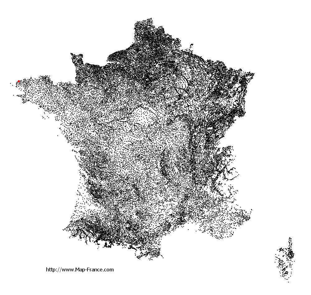
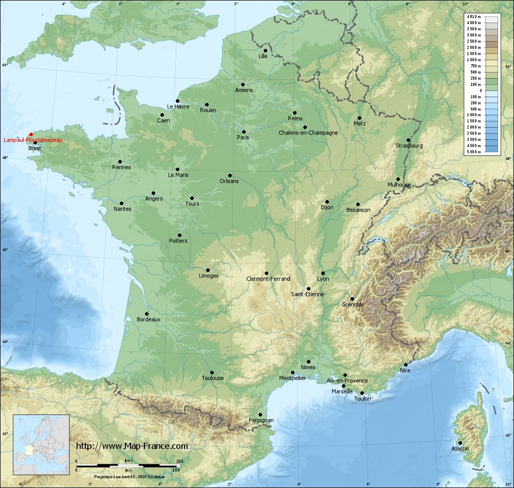
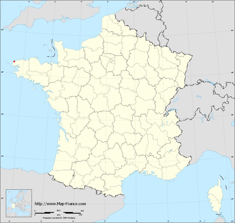
Lampaul-Ploudalmézeau on the relief France map in Lambert 93 coordinates
|
See the map of Lampaul-Ploudalmézeau in full screen (1000 x 949)
|
At left, here is the location of Lampaul-Ploudalmézeau on the relief France map in Lambert 93 coordinates.
Here are the altitudes of Lampaul-Ploudalmézeau :
- Town hall altitude of Lampaul-Ploudalmézeau is 20 meters
- Minimum altitude of Lampaul-Ploudalmézeau is 0 meters
- Maximum altitude of Lampaul-Ploudalmézeau is 63 meters
- Medium altitude of Lampaul-Ploudalmézeau is 32 meters
Here are the altitudes of Quimper, prefecture of Finistère department:
- Town hall altitude of Quimper is 30 meters
- Minimum altitude of Quimper is -5 meters
- Maximum altitude of Quimper is 151 meters
- Medium altitude of Quimper is 73 meters
Here are the altitudes of the french biggest cities:
Paris : 33 meters
Marseille : 20 meters
Lyon : 237 meters
Toulouse : 146 meters
Nice : 10 meters
Nantes : 20 meters
Strasbourg : 144 meters
Montpellier : 35 meters
Bordeaux : 16 meters
Lille : 20 meters
Rennes : 35 meters
Reims : 83 meters
Click here for the terrain map of Lampaul-Ploudalmézeau in full screen:
Relief map of Lampaul-Ploudalmézeau
|
This relief map of Lampaul-Ploudalmézeau is reusable and modifiable by making a link to this page of the Map-France.com website or by using the given code :
|
Terrain base map of Lampaul-Ploudalmézeau
|

See the terrain base map of Lampaul-Ploudalmézeau in full screen (1000 x 949)
|
Small relief base map of Lampaul-Ploudalmézeau

|
This base map of Lampaul-Ploudalmézeau is reusable and modifiable by making a link to this page of the Map-France.com website or by using the given code :
|
Map of Lampaul-Ploudalmézeau with regions and prefectures
|
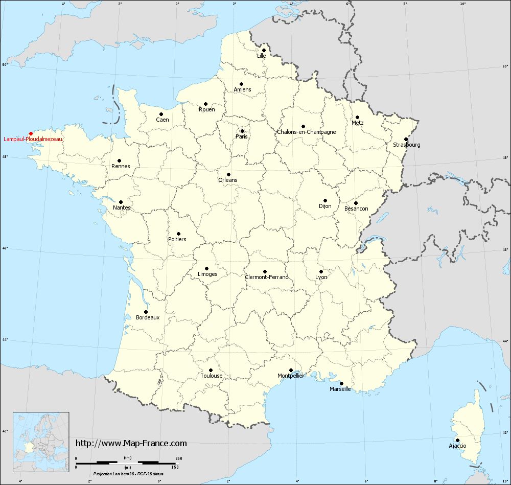
View the map of Lampaul-Ploudalmézeau in full screen (1000 x 949)
|
You will find the location of Lampaul-Ploudalmézeau on the map of France of regions in Lambert 93 coordinates. The town of Lampaul-Ploudalmézeau is located in the department of Finistère of the french region Bretagne.
Geographical sexagesimal coordinates / GPS (WGS84):
Latitude: 48° 33' 41'' North
Longitude: 04° 39' 21'' West
Geographical decimal coordinates :
Latitude: 48.56 degrees (48.56° North)
Longitude: -4.653 degrees (4.653° West)
Lambert 93 coordinates :
X: 1 360 hectometers
Y: 68 564 hectometers
Lambert 2 coordinates :
X: 844 hectometers
Y: 24 188 hectometers
Below, the geographical coordinates of Quimper, prefecture of the Finistère department:
Geographical sexagesimal coordinates / GPS (WGS84):
Latitude: 47° 59' 45'' North
Longitude: 04° 05' 52'' West
Geographical decimal coordinates :
Latitude: 47.995 degrees (47.995° North)
Longitude: -4.109 degrees (4.109° West)
Lambert 93 coordinates :
X: 1 713 hectometers
Y: 67 899 hectometers
Lambert 2 coordinates :
X: 1 203 hectometers
Y: 23 526 hectometers
|
This map of Lampaul-Ploudalmézeau is reusable and modifiable by making a link to this page of the Map-France.com website or by using the given code :
|
Map of Lampaul-Ploudalmézeau with departments and prefectures
|
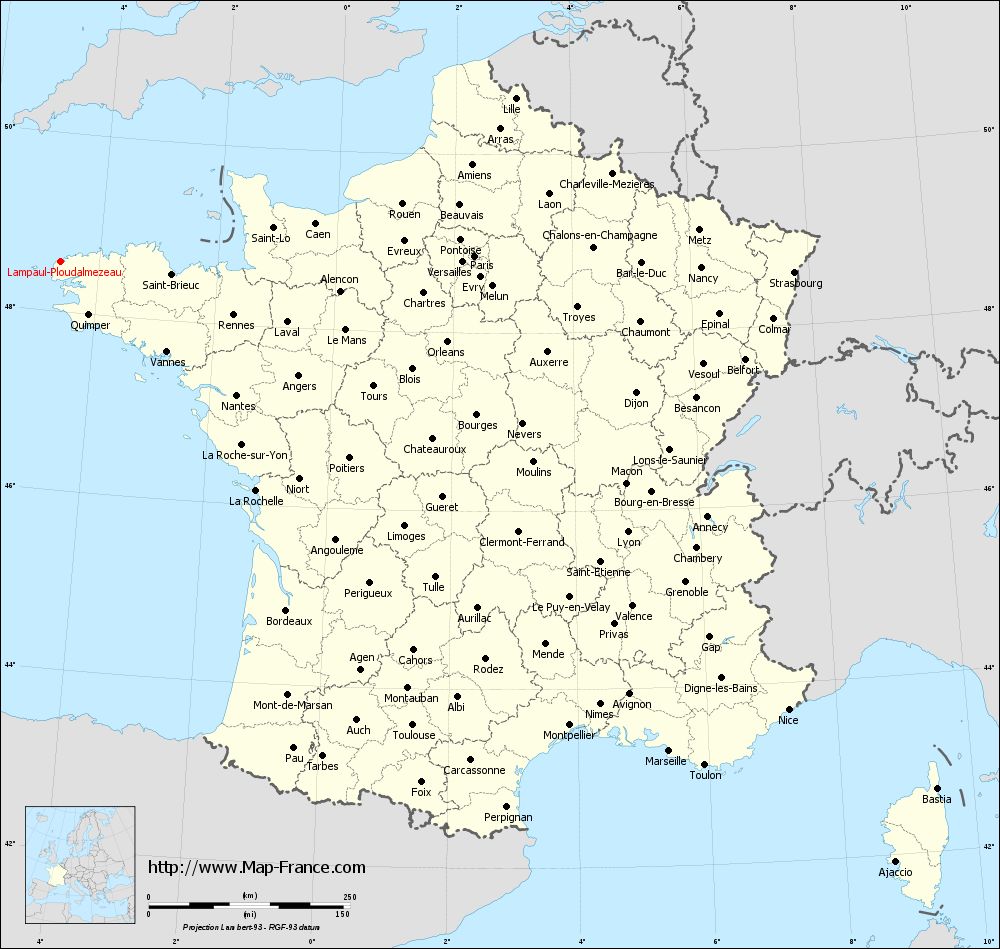
Voir la carte of Lampaul-Ploudalmézeau en grand format (1000 x 949)
|
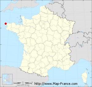
Here is the localization of Lampaul-Ploudalmézeau on the France map of departments in Lambert 93 coordinates. The city of Lampaul-Ploudalmézeau is shown on the map by a red point.
The town of Lampaul-Ploudalmézeau is located in the department of Finistère of the french region Bretagne.
The latitude of Lampaul-Ploudalmézeau is 48.56 degrees North.
The longitude of Lampaul-Ploudalmézeau is 4.653 degrees West.
Here the distance between Lampaul-Ploudalmézeau and the biggest cities of France:
Distances are calculated as the crow flies (orthodromic distance)
Distance between Lampaul-Ploudalmézeau and Paris : 514.02 kilometers
Distance between Lampaul-Ploudalmézeau and Marseille : 971.01 kilometers
Distance between Lampaul-Ploudalmézeau and Lyon : 780.71 kilometers
Distance between Lampaul-Ploudalmézeau and Toulouse : 724.08 kilometers
Distance between Lampaul-Ploudalmézeau and Nice : 1062.46 kilometers
Distance between Lampaul-Ploudalmézeau and Nantes : 274.77 kilometers
Distance between Lampaul-Ploudalmézeau and Strasbourg : 911.26 kilometers
Distance between Lampaul-Ploudalmézeau and Montpellier : 856.11 kilometers
Distance between Lampaul-Ploudalmézeau and Bordeaux : 516.68 kilometers
Distance between Lampaul-Ploudalmézeau and Lille : 599.74 kilometers
Distance between Lampaul-Ploudalmézeau and Rennes : 225.24 kilometers
Distance between Lampaul-Ploudalmézeau and Reims : 638.54 kilometers
Clic here to see the map of Lampaul-Ploudalmézeau in full screen:
Lampaul-Ploudalmézeau on the map of french departments
|
This administrative map of Lampaul-Ploudalmézeau is reusable and modifiable by making a link to this page of the Map-France.com website or by using the given code :
|
Administrative base maps of Lampaul-Ploudalmézeau
|
See the administrative base map of Lampaul-Ploudalmézeau in full screen (1000 x 949)
|
Small administrative base map of Lampaul-Ploudalmézeau
|
This base map administrative of Lampaul-Ploudalmézeau is reusable and modifiable by making a link to this page of the Map-France.com website or by using the given code :
|
 French Version : http://www.cartesfrance.fr