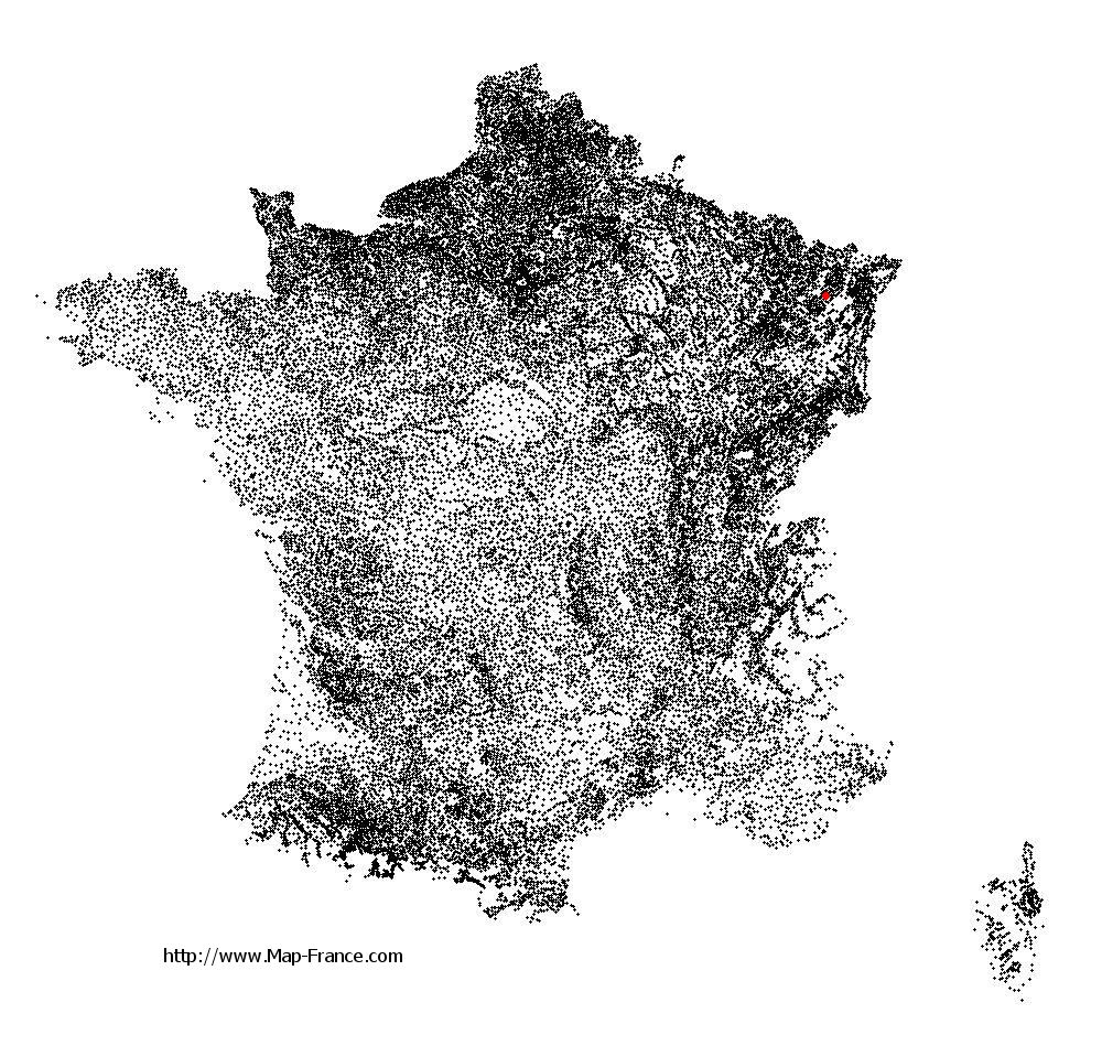
Laneuveville-lès-Lorquin on the relief France map in Lambert 93 coordinates
|

See the map of Laneuveville-lès-Lorquin in full screen (1000 x 949)
|
At left, here is the location of Laneuveville-lès-Lorquin on the relief France map in Lambert 93 coordinates.
Here are the altitudes of Laneuveville-lès-Lorquin :
- Town hall altitude of Laneuveville-lès-Lorquin is 300 meters
- Minimum altitude of Laneuveville-lès-Lorquin is 267 meters
- Maximum altitude of Laneuveville-lès-Lorquin is 354 meters
- Medium altitude of Laneuveville-lès-Lorquin is 311 meters
Here are the altitudes of Metz, prefecture of Moselle department:
- Town hall altitude of Metz is 182 meters
- Minimum altitude of Metz is 162 meters
- Maximum altitude of Metz is 256 meters
- Medium altitude of Metz is 209 meters
Here are the altitudes of the french biggest cities:
Paris : 33 meters
Marseille : 20 meters
Lyon : 237 meters
Toulouse : 146 meters
Nice : 10 meters
Nantes : 20 meters
Strasbourg : 144 meters
Montpellier : 35 meters
Bordeaux : 16 meters
Lille : 20 meters
Rennes : 35 meters
Reims : 83 meters
Click here for the terrain map of Laneuveville-lès-Lorquin in full screen:
Relief map of Laneuveville-lès-Lorquin
|
This relief map of Laneuveville-lès-Lorquin is reusable and modifiable by making a link to this page of the Map-France.com website or by using the given code :
|
Terrain base map of Laneuveville-lès-Lorquin
|

See the terrain base map of Laneuveville-lès-Lorquin in full screen (1000 x 949)
|
Small relief base map of Laneuveville-lès-Lorquin

|
This base map of Laneuveville-lès-Lorquin is reusable and modifiable by making a link to this page of the Map-France.com website or by using the given code :
|
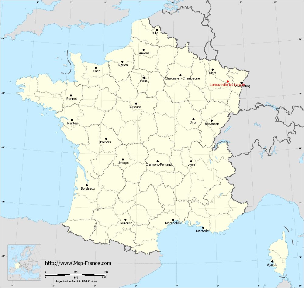
Map of Laneuveville-lès-Lorquin with regions and prefectures
|
View the map of Laneuveville-lès-Lorquin in full screen (1000 x 949)
|
You will find the location of Laneuveville-lès-Lorquin on the map of France of regions in Lambert 93 coordinates. The town of Laneuveville-lès-Lorquin is located in the department of Moselle of the french region Lorraine.
Geographical sexagesimal coordinates / GPS (WGS84):
Latitude: 48° 39' 13'' North
Longitude: 07° 00' 07'' East
Geographical decimal coordinates :
Latitude: 48.654 degrees (48.654° North)
Longitude: 7.001 degrees (7.001° East)
Lambert 93 coordinates :
X: 9 947 hectometers
Y: 68 468 hectometers
Lambert 2 coordinates :
X: 9 437 hectometers
Y: 24 163 hectometers
Below, the geographical coordinates of Metz, prefecture of the Moselle department:
Geographical sexagesimal coordinates / GPS (WGS84):
Latitude: 49° 07' 11'' North
Longitude: 06° 10' 37'' East
Geographical decimal coordinates :
Latitude: 49.109 degrees (49.109° North)
Longitude: 6.183 degrees (6.183° East)
Lambert 93 coordinates :
X: 9 319 hectometers
Y: 68 958 hectometers
Lambert 2 coordinates :
X: 8 804 hectometers
Y: 24 648 hectometers
|
This map of Laneuveville-lès-Lorquin is reusable and modifiable by making a link to this page of the Map-France.com website or by using the given code :
|
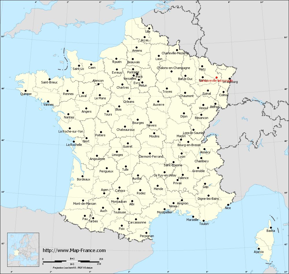
Map of Laneuveville-lès-Lorquin with departments and prefectures
|
Voir la carte of Laneuveville-lès-Lorquin en grand format (1000 x 949)
|
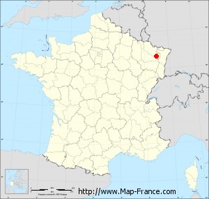
Here is the localization of Laneuveville-lès-Lorquin on the France map of departments in Lambert 93 coordinates. The city of Laneuveville-lès-Lorquin is shown on the map by a red point.
The town of Laneuveville-lès-Lorquin is located in the department of Moselle of the french region Lorraine.
The latitude of Laneuveville-lès-Lorquin is 48.654 degrees North.
The longitude of Laneuveville-lès-Lorquin is 7.001 degrees East.
Here the distance between Laneuveville-lès-Lorquin and the biggest cities of France:
Distances are calculated as the crow flies (orthodromic distance)
Distance between Laneuveville-lès-Lorquin and Paris : 341.73 kilometers
Distance between Laneuveville-lès-Lorquin and Marseille : 607.81 kilometers
Distance between Laneuveville-lès-Lorquin and Lyon : 360.71 kilometers
Distance between Laneuveville-lès-Lorquin and Toulouse : 705.3 kilometers
Distance between Laneuveville-lès-Lorquin and Nice : 550.1 kilometers
Distance between Laneuveville-lès-Lorquin and Nantes : 656.08 kilometers
Distance between Laneuveville-lès-Lorquin and Strasbourg : 55.94 kilometers
Distance between Laneuveville-lès-Lorquin and Montpellier : 609.93 kilometers
Distance between Laneuveville-lès-Lorquin and Bordeaux : 714.96 kilometers
Distance between Laneuveville-lès-Lorquin and Lille : 359.3 kilometers
Distance between Laneuveville-lès-Lorquin and Rennes : 643.17 kilometers
Distance between Laneuveville-lès-Lorquin and Reims : 226.82 kilometers
Clic here to see the map of Laneuveville-lès-Lorquin in full screen:
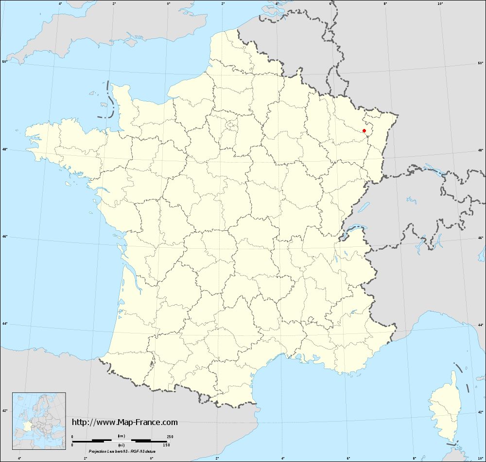
Laneuveville-lès-Lorquin on the map of french departments
|
This administrative map of Laneuveville-lès-Lorquin is reusable and modifiable by making a link to this page of the Map-France.com website or by using the given code :
|
Administrative base maps of Laneuveville-lès-Lorquin
|
See the administrative base map of Laneuveville-lès-Lorquin in full screen (1000 x 949)
|
Small administrative base map of Laneuveville-lès-Lorquin
|
This base map administrative of Laneuveville-lès-Lorquin is reusable and modifiable by making a link to this page of the Map-France.com website or by using the given code :
|
 French Version : http://www.cartesfrance.fr