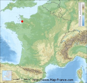
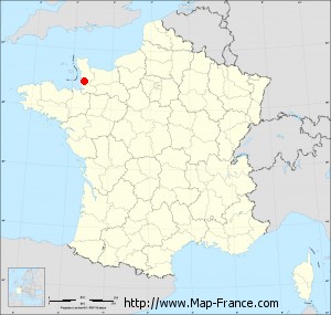
Map of Le Mesnil-Amand with regions and prefectures
|
View the map of Le Mesnil-Amand in full screen (1000 x 949)
|
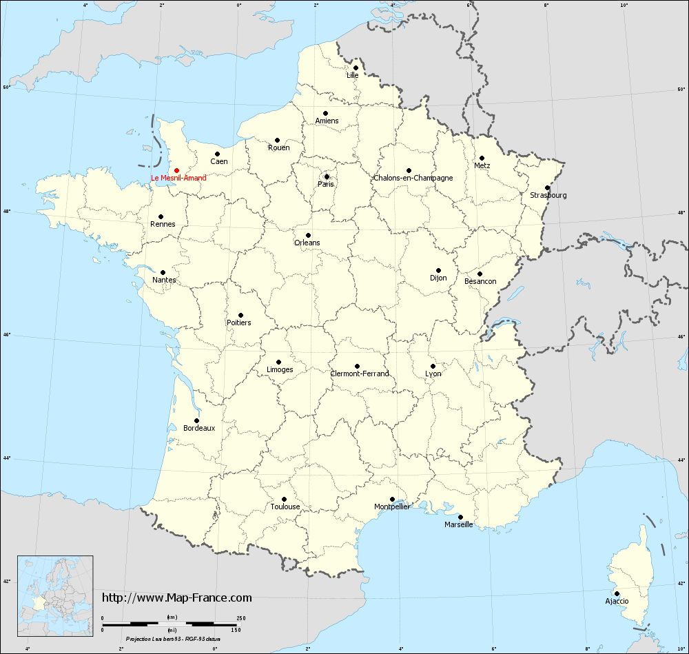
You will find the location of Le Mesnil-Amand on the map of France of regions in Lambert 93 coordinates. The town of Le Mesnil-Amand is located in the department of Manche of the french region Basse-Normandie.
Geographical sexagesimal coordinates / GPS (WGS84):
Latitude: 48° 52' 53'' North
Longitude: 01° 21' 46'' West
Geographical decimal coordinates :
Latitude: 48.884 degrees (48.884° North)
Longitude: -1.361 degrees (1.361° West)
Lambert 93 coordinates :
X: 3 802 hectometers
Y: 68 734 hectometers
Lambert 2 coordinates :
X: 3 286 hectometers
Y: 24 378 hectometers
Below, the geographical coordinates of Saint-Lô, prefecture of the Manche department:
Geographical sexagesimal coordinates / GPS (WGS84):
Latitude: 49° 06' 52'' North
Longitude: 01° 05' 30'' West
Geographical decimal coordinates :
Latitude: 49.114 degrees (49.114° North)
Longitude: -1.092 degrees (1.092° West)
Lambert 93 coordinates :
X: 4 014 hectometers
Y: 68 982 hectometers
Lambert 2 coordinates :
X: 3 496 hectometers
Y: 24 628 hectometers
|
This map of Le Mesnil-Amand is reusable and modifiable by making a link to this page of the Map-France.com website or by using the given code :
|
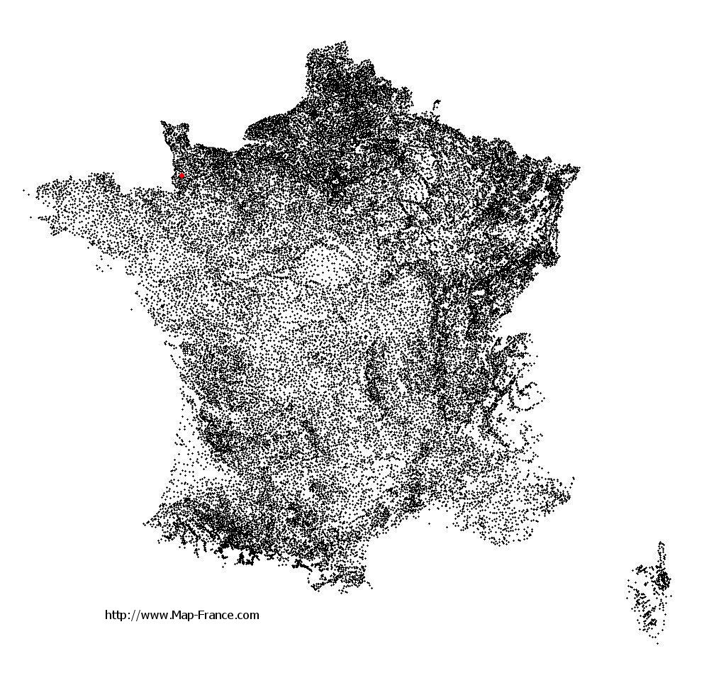
Map of Le Mesnil-Amand with departments and prefectures
|
Voir la carte of Le Mesnil-Amand en grand format (1000 x 949)
|
Here is the localization of Le Mesnil-Amand on the France map of departments in Lambert 93 coordinates. The city of Le Mesnil-Amand is shown on the map by a red point.
The town of Le Mesnil-Amand is located in the department of Manche of the french region Basse-Normandie.
The latitude of Le Mesnil-Amand is 48.884 degrees North.
The longitude of Le Mesnil-Amand is 1.361 degrees West.
Here the distance between Le Mesnil-Amand and the biggest cities of France:
Distances are calculated as the crow flies (orthodromic distance)
Distance between Le Mesnil-Amand and Paris : 270.84 kilometers
Distance between Le Mesnil-Amand and Marseille : 809.66 kilometers
Distance between Le Mesnil-Amand and Lyon : 581.27 kilometers
Distance between Le Mesnil-Amand and Toulouse : 625.46 kilometers
Distance between Le Mesnil-Amand and Nice : 876.05 kilometers
Distance between Le Mesnil-Amand and Nantes : 185.55 kilometers
Distance between Le Mesnil-Amand and Strasbourg : 668.48 kilometers
Distance between Le Mesnil-Amand and Montpellier : 710.47 kilometers
Distance between Le Mesnil-Amand and Bordeaux : 452.93 kilometers
Distance between Le Mesnil-Amand and Lille : 370.76 kilometers
Distance between Le Mesnil-Amand and Rennes : 89.41 kilometers
Distance between Le Mesnil-Amand and Reims : 394.58 kilometers
Clic here to see the map of Le Mesnil-Amand in full screen:
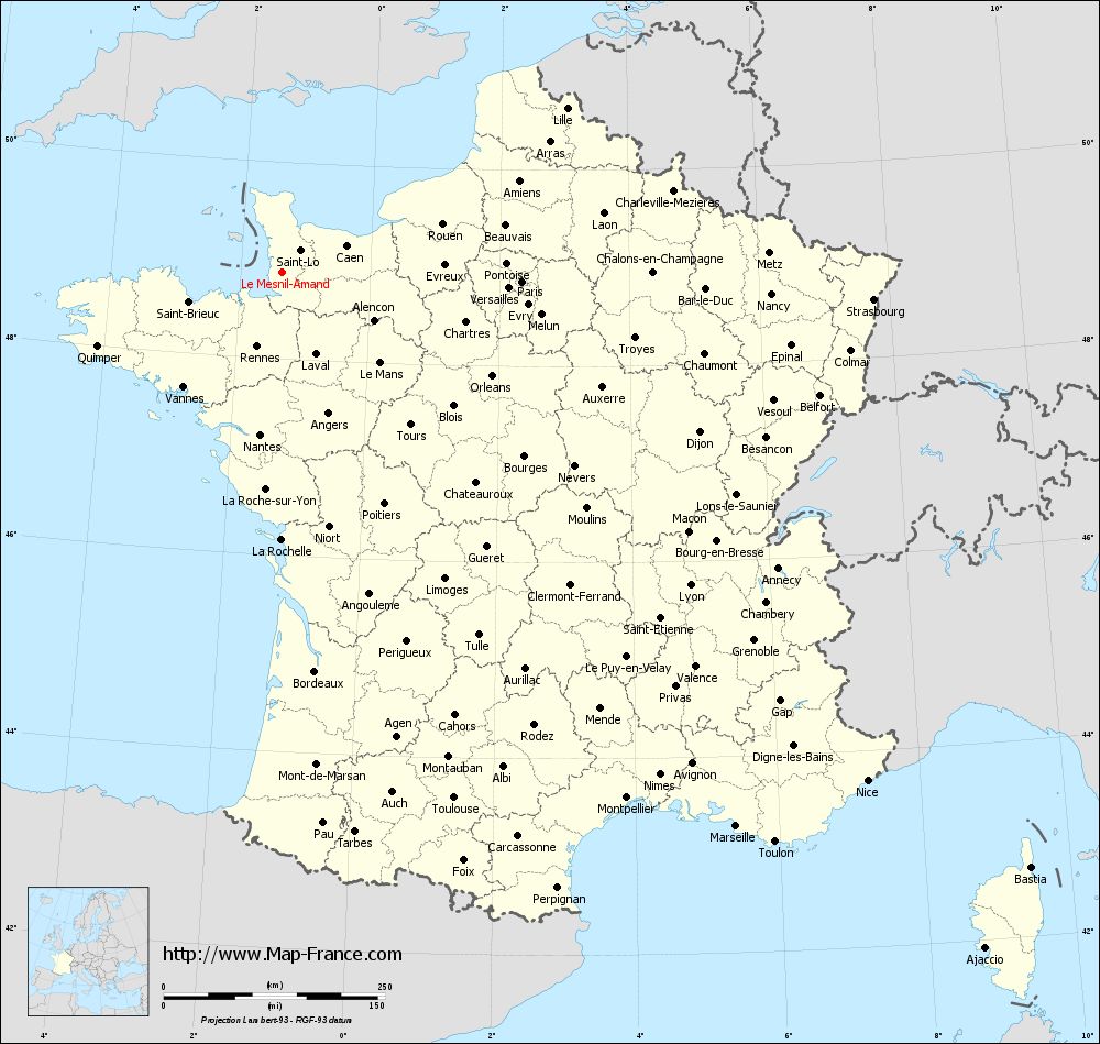
Le Mesnil-Amand on the map of french departments
|
This administrative map of Le Mesnil-Amand is reusable and modifiable by making a link to this page of the Map-France.com website or by using the given code :
|
Administrative base maps of Le Mesnil-Amand
|

See the administrative base map of Le Mesnil-Amand in full screen (1000 x 949)
|
Small administrative base map of Le Mesnil-Amand
|
This base map administrative of Le Mesnil-Amand is reusable and modifiable by making a link to this page of the Map-France.com website or by using the given code :
|
 French Version : http://www.cartesfrance.fr