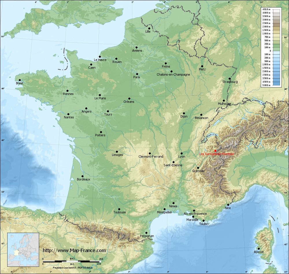
Map of Les Contamines-Montjoie with regions and prefectures
|
View the map of Les Contamines-Montjoie in full screen (1000 x 949)
|
You will find the location of Les Contamines-Montjoie on the map of France of regions in Lambert 93 coordinates. The town of Les Contamines-Montjoie is located in the department of Haute-Savoie of the french region Rhône-Alpes.
Geographical sexagesimal coordinates / GPS (WGS84):
Latitude: 45° 49' 18'' North
Longitude: 06° 43' 45'' East
Geographical decimal coordinates :
Latitude: 45.821 degrees (45.821° North)
Longitude: 6.729 degrees (6.729° East)
Lambert 93 coordinates :
X: 9 894 hectometers
Y: 65 315 hectometers
Lambert 2 coordinates :
X: 9 412 hectometers
Y: 21 008 hectometers
Below, the geographical coordinates of Annecy, prefecture of the Haute-Savoie department:
Geographical sexagesimal coordinates / GPS (WGS84):
Latitude: 45° 53' 57'' North
Longitude: 06° 07' 46'' East
Geographical decimal coordinates :
Latitude: 45.907 degrees (45.907° North)
Longitude: 6.127 degrees (6.127° East)
Lambert 93 coordinates :
X: 9 426 hectometers
Y: 65 381 hectometers
Lambert 2 coordinates :
X: 8 942 hectometers
Y: 21 070 hectometers
|
This map of Les Contamines-Montjoie is reusable and modifiable by making a link to this page of the Map-France.com website or by using the given code :
|
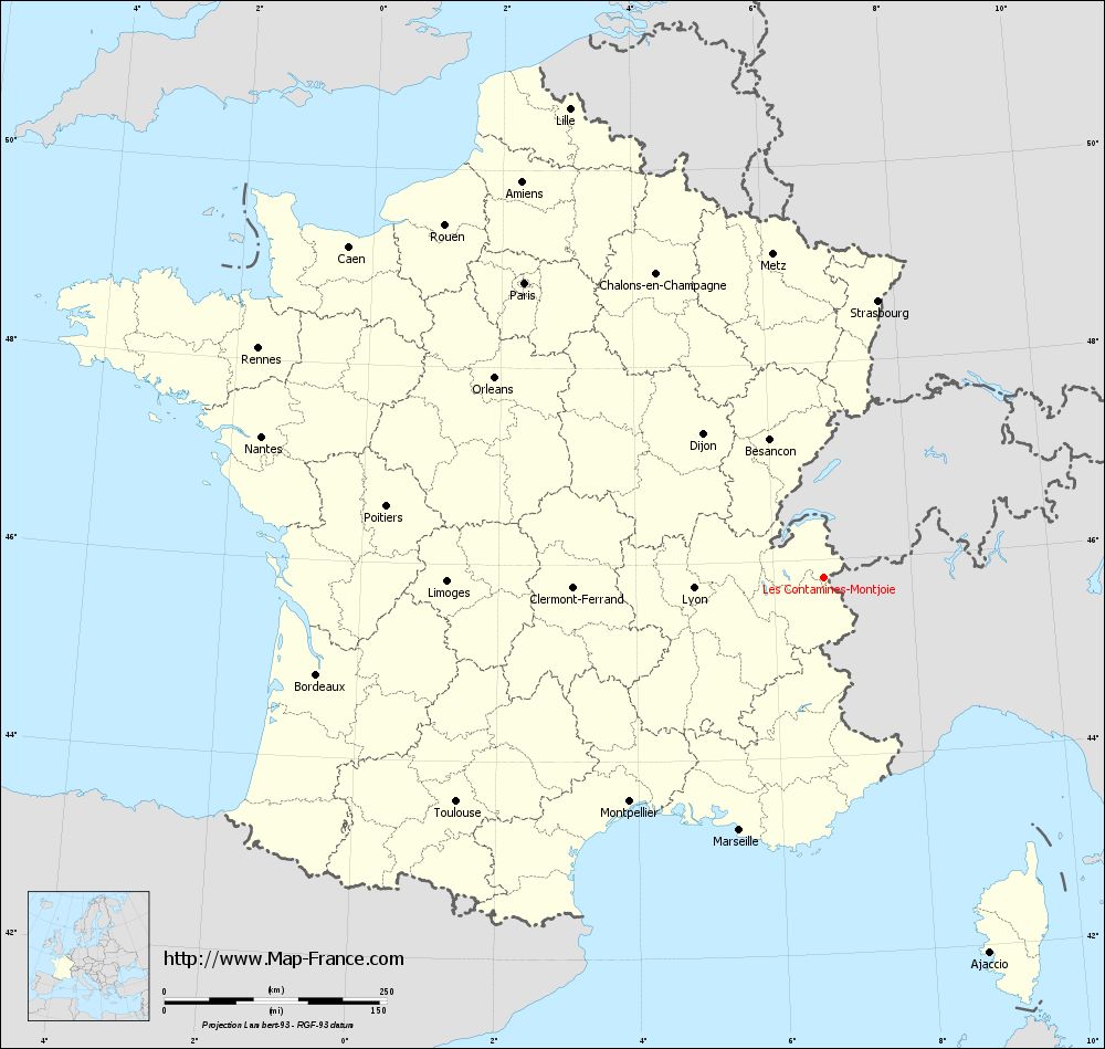
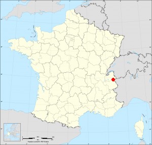
Map of Les Contamines-Montjoie with departments and prefectures
|
Voir la carte of Les Contamines-Montjoie en grand format (1000 x 949)
|
Here is the localization of Les Contamines-Montjoie on the France map of departments in Lambert 93 coordinates. The city of Les Contamines-Montjoie is shown on the map by a red point.
The town of Les Contamines-Montjoie is located in the department of Haute-Savoie of the french region Rhône-Alpes.
The latitude of Les Contamines-Montjoie is 45.821 degrees North.
The longitude of Les Contamines-Montjoie is 6.729 degrees East.
Here the distance between Les Contamines-Montjoie and the biggest cities of France:
Distances are calculated as the crow flies (orthodromic distance)
Distance between Les Contamines-Montjoie and Paris : 472.01 kilometers
Distance between Les Contamines-Montjoie and Marseille : 299.51 kilometers
Distance between Les Contamines-Montjoie and Lyon : 146.89 kilometers
Distance between Les Contamines-Montjoie and Toulouse : 484.24 kilometers
Distance between Les Contamines-Montjoie and Nice : 238.75 kilometers
Distance between Les Contamines-Montjoie and Nantes : 651.66 kilometers
Distance between Les Contamines-Montjoie and Strasbourg : 316.62 kilometers
Distance between Les Contamines-Montjoie and Montpellier : 333.47 kilometers
Distance between Les Contamines-Montjoie and Bordeaux : 580.53 kilometers
Distance between Les Contamines-Montjoie and Lille : 599.46 kilometers
Distance between Les Contamines-Montjoie and Rennes : 685.91 kilometers
Distance between Les Contamines-Montjoie and Reims : 432.06 kilometers
Clic here to see the map of Les Contamines-Montjoie in full screen:
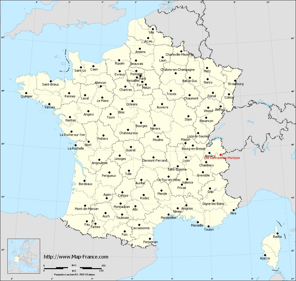
Les Contamines-Montjoie on the map of french departments
|
This administrative map of Les Contamines-Montjoie is reusable and modifiable by making a link to this page of the Map-France.com website or by using the given code :
|
Administrative base maps of Les Contamines-Montjoie
|

See the administrative base map of Les Contamines-Montjoie in full screen (1000 x 949)
|
Small administrative base map of Les Contamines-Montjoie
|
This base map administrative of Les Contamines-Montjoie is reusable and modifiable by making a link to this page of the Map-France.com website or by using the given code :
|
 French Version : http://www.cartesfrance.fr