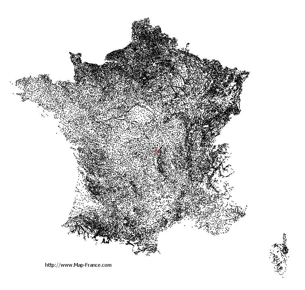
Louroux-de-Bouble on the relief France map in Lambert 93 coordinates
|

See the map of Louroux-de-Bouble in full screen (1000 x 949)
|
At left, here is the location of Louroux-de-Bouble on the relief France map in Lambert 93 coordinates.
Here are the altitudes of Louroux-de-Bouble :
- Town hall altitude of Louroux-de-Bouble is 500 meters
- Minimum altitude of Louroux-de-Bouble is 357 meters
- Maximum altitude of Louroux-de-Bouble is 550 meters
- Medium altitude of Louroux-de-Bouble is 454 meters
Here are the altitudes of Moulins, prefecture of Allier department:
- Town hall altitude of Moulins is 219 meters
- Minimum altitude of Moulins is 202 meters
- Maximum altitude of Moulins is 240 meters
- Medium altitude of Moulins is 221 meters
Here are the altitudes of the french biggest cities:
Paris : 33 meters
Marseille : 20 meters
Lyon : 237 meters
Toulouse : 146 meters
Nice : 10 meters
Nantes : 20 meters
Strasbourg : 144 meters
Montpellier : 35 meters
Bordeaux : 16 meters
Lille : 20 meters
Rennes : 35 meters
Reims : 83 meters
Click here for the terrain map of Louroux-de-Bouble in full screen:
Relief map of Louroux-de-Bouble
|
This relief map of Louroux-de-Bouble is reusable and modifiable by making a link to this page of the Map-France.com website or by using the given code :
|
Terrain base map of Louroux-de-Bouble
|

See the terrain base map of Louroux-de-Bouble in full screen (1000 x 949)
|
Small relief base map of Louroux-de-Bouble

|
This base map of Louroux-de-Bouble is reusable and modifiable by making a link to this page of the Map-France.com website or by using the given code :
|
Map of Louroux-de-Bouble with regions and prefectures
|
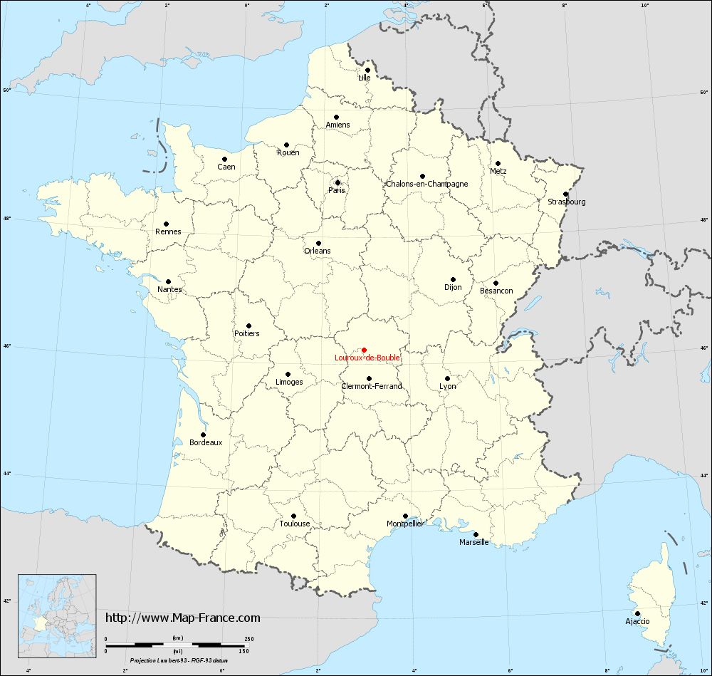
View the map of Louroux-de-Bouble in full screen (1000 x 949)
|
You will find the location of Louroux-de-Bouble on the map of France of regions in Lambert 93 coordinates. The town of Louroux-de-Bouble is located in the department of Allier of the french region Auvergne.
Geographical sexagesimal coordinates / GPS (WGS84):
Latitude: 46° 13' 33'' North
Longitude: 02° 58' 40'' East
Geographical decimal coordinates :
Latitude: 46.226 degrees (46.226° North)
Longitude: 2.982 degrees (2.982° East)
Lambert 93 coordinates :
X: 6 983 hectometers
Y: 65 696 hectometers
Lambert 2 coordinates :
X: 6 495 hectometers
Y: 21 364 hectometers
Below, the geographical coordinates of Moulins, prefecture of the Allier department:
Geographical sexagesimal coordinates / GPS (WGS84):
Latitude: 46° 33' 53'' North
Longitude: 03° 19' 57'' East
Geographical decimal coordinates :
Latitude: 46.568 degrees (46.568° North)
Longitude: 3.335 degrees (3.335° East)
Lambert 93 coordinates :
X: 7 255 hectometers
Y: 66 072 hectometers
Lambert 2 coordinates :
X: 6 763 hectometers
Y: 21 743 hectometers
|
This map of Louroux-de-Bouble is reusable and modifiable by making a link to this page of the Map-France.com website or by using the given code :
|
Map of Louroux-de-Bouble with departments and prefectures
|
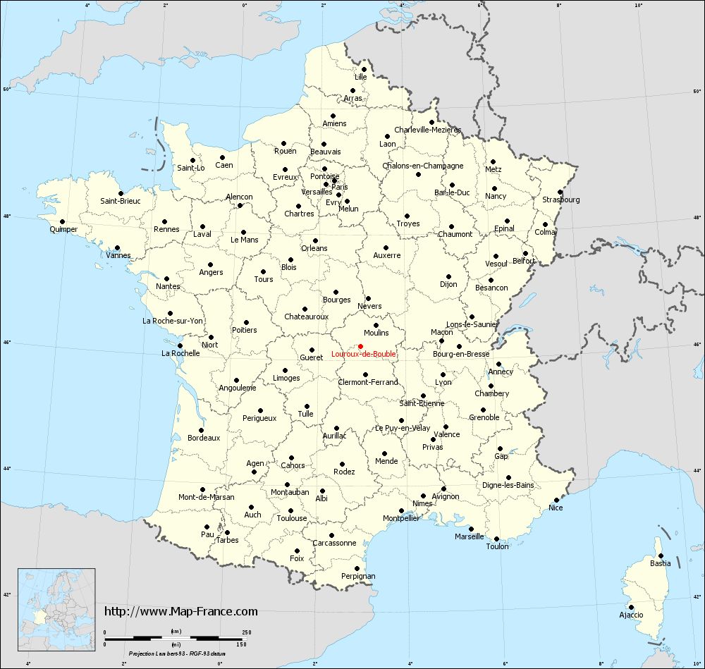
Voir la carte of Louroux-de-Bouble en grand format (1000 x 949)
|
Here is the localization of Louroux-de-Bouble on the France map of departments in Lambert 93 coordinates. The city of Louroux-de-Bouble is shown on the map by a red point.
The town of Louroux-de-Bouble is located in the department of Allier of the french region Auvergne.
The latitude of Louroux-de-Bouble is 46.226 degrees North.
The longitude of Louroux-de-Bouble is 2.982 degrees East.
Here the distance between Louroux-de-Bouble and the biggest cities of France:
Distances are calculated as the crow flies (orthodromic distance)
Distance between Louroux-de-Bouble and Paris : 296.55 kilometers
Distance between Louroux-de-Bouble and Marseille : 377.16 kilometers
Distance between Louroux-de-Bouble and Lyon : 152.14 kilometers
Distance between Louroux-de-Bouble and Toulouse : 315.69 kilometers
Distance between Louroux-de-Bouble and Nice : 437.65 kilometers
Distance between Louroux-de-Bouble and Nantes : 362.58 kilometers
Distance between Louroux-de-Bouble and Strasbourg : 444.3 kilometers
Distance between Louroux-de-Bouble and Montpellier : 299.17 kilometers
Distance between Louroux-de-Bouble and Bordeaux : 316.57 kilometers
Distance between Louroux-de-Bouble and Lille : 489.08 kilometers
Distance between Louroux-de-Bouble and Rennes : 409.41 kilometers
Distance between Louroux-de-Bouble and Reims : 345.84 kilometers
Clic here to see the map of Louroux-de-Bouble in full screen:
Louroux-de-Bouble on the map of french departments
|
This administrative map of Louroux-de-Bouble is reusable and modifiable by making a link to this page of the Map-France.com website or by using the given code :
|
Administrative base maps of Louroux-de-Bouble
|

See the administrative base map of Louroux-de-Bouble in full screen (1000 x 949)
|
Small administrative base map of Louroux-de-Bouble
|
This base map administrative of Louroux-de-Bouble is reusable and modifiable by making a link to this page of the Map-France.com website or by using the given code :
|
 French Version : http://www.cartesfrance.fr