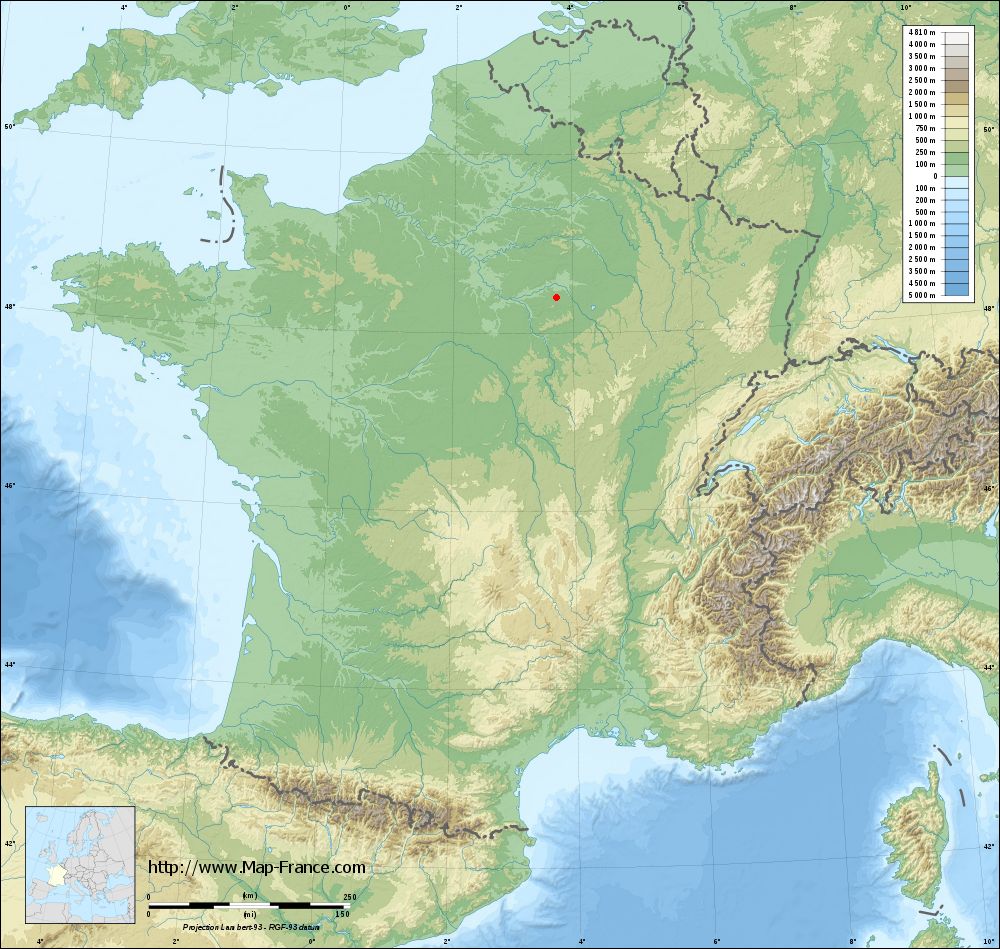
Marigny-le-Châtel on the relief France map in Lambert 93 coordinates
|

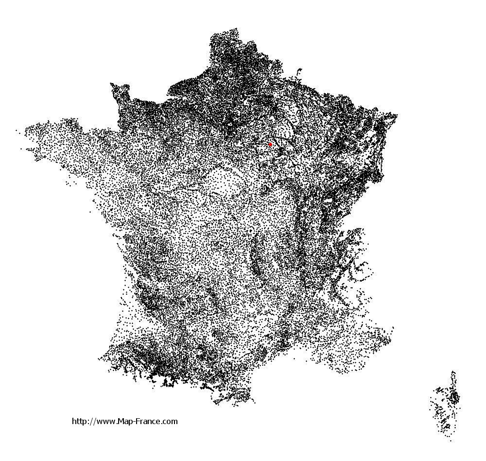
See the map of Marigny-le-Châtel in full screen (1000 x 949)
|
At left, here is the location of Marigny-le-Châtel on the relief France map in Lambert 93 coordinates.
Here are the altitudes of Marigny-le-Châtel :
- Town hall altitude of Marigny-le-Châtel is 110 meters
- Minimum altitude of Marigny-le-Châtel is 101 meters
- Maximum altitude of Marigny-le-Châtel is 182 meters
- Medium altitude of Marigny-le-Châtel is 142 meters
Here are the altitudes of Troyes, prefecture of Aube department:
- Town hall altitude of Troyes is 107 meters
- Minimum altitude of Troyes is 100 meters
- Maximum altitude of Troyes is 126 meters
- Medium altitude of Troyes is 113 meters
Here are the altitudes of the french biggest cities:
Paris : 33 meters
Marseille : 20 meters
Lyon : 237 meters
Toulouse : 146 meters
Nice : 10 meters
Nantes : 20 meters
Strasbourg : 144 meters
Montpellier : 35 meters
Bordeaux : 16 meters
Lille : 20 meters
Rennes : 35 meters
Reims : 83 meters
Click here for the terrain map of Marigny-le-Châtel in full screen:
Relief map of Marigny-le-Châtel
|
This relief map of Marigny-le-Châtel is reusable and modifiable by making a link to this page of the Map-France.com website or by using the given code :
|
Terrain base map of Marigny-le-Châtel
|
See the terrain base map of Marigny-le-Châtel in full screen (1000 x 949)
|
Small relief base map of Marigny-le-Châtel

|
This base map of Marigny-le-Châtel is reusable and modifiable by making a link to this page of the Map-France.com website or by using the given code :
|
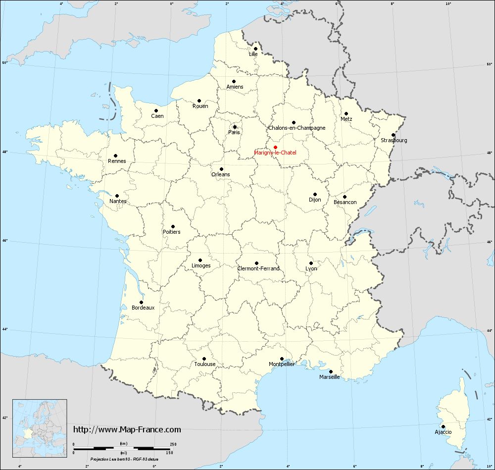
Map of Marigny-le-Châtel with regions and prefectures
|
View the map of Marigny-le-Châtel in full screen (1000 x 949)
|
You will find the location of Marigny-le-Châtel on the map of France of regions in Lambert 93 coordinates. The town of Marigny-le-Châtel is located in the department of Aube of the french region Champagne-Ardenne.
Geographical sexagesimal coordinates / GPS (WGS84):
Latitude: 48° 24' 09'' North
Longitude: 03° 44' 14'' East
Geographical decimal coordinates :
Latitude: 48.403 degrees (48.403° North)
Longitude: 3.739 degrees (3.739° East)
Lambert 93 coordinates :
X: 7 546 hectometers
Y: 68 116 hectometers
Lambert 2 coordinates :
X: 7 037 hectometers
Y: 23 791 hectometers
Below, the geographical coordinates of Troyes, prefecture of the Aube department:
Geographical sexagesimal coordinates / GPS (WGS84):
Latitude: 48° 17' 56'' North
Longitude: 04° 04' 41'' East
Geographical decimal coordinates :
Latitude: 48.296 degrees (48.296° North)
Longitude: 4.072 degrees (4.072° East)
Lambert 93 coordinates :
X: 7 800 hectometers
Y: 68 004 hectometers
Lambert 2 coordinates :
X: 7 292 hectometers
Y: 23 681 hectometers
|
This map of Marigny-le-Châtel is reusable and modifiable by making a link to this page of the Map-France.com website or by using the given code :
|
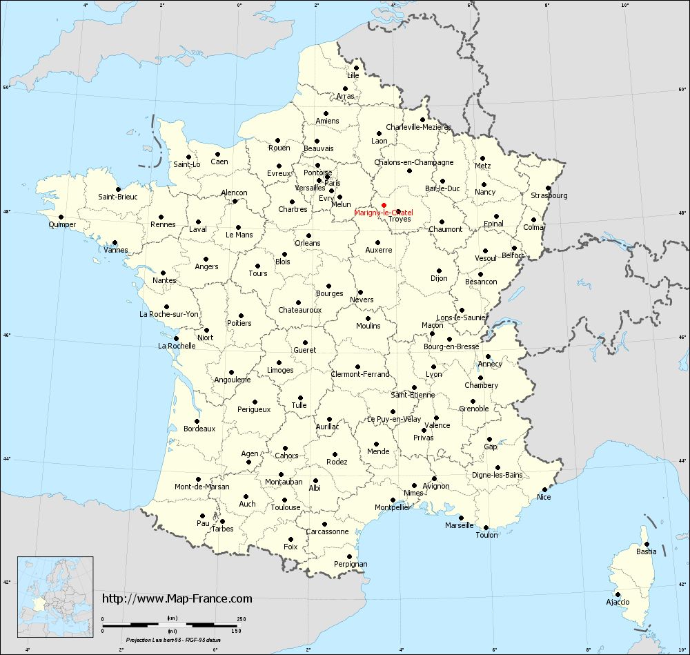
Map of Marigny-le-Châtel with departments and prefectures
|
Voir la carte of Marigny-le-Châtel en grand format (1000 x 949)
|
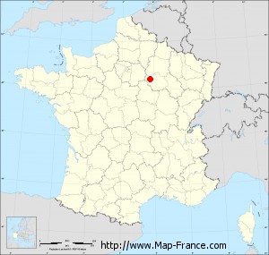
Here is the localization of Marigny-le-Châtel on the France map of departments in Lambert 93 coordinates. The city of Marigny-le-Châtel is shown on the map by a red point.
The town of Marigny-le-Châtel is located in the department of Aube of the french region Champagne-Ardenne.
The latitude of Marigny-le-Châtel is 48.403 degrees North.
The longitude of Marigny-le-Châtel is 3.739 degrees East.
Here the distance between Marigny-le-Châtel and the biggest cities of France:
Distances are calculated as the crow flies (orthodromic distance)
Distance between Marigny-le-Châtel and Paris : 114.2 kilometers
Distance between Marigny-le-Châtel and Marseille : 581.63 kilometers
Distance between Marigny-le-Châtel and Lyon : 305.19 kilometers
Distance between Marigny-le-Châtel and Toulouse : 562.08 kilometers
Distance between Marigny-le-Châtel and Nice : 588.22 kilometers
Distance between Marigny-le-Châtel and Nantes : 416.14 kilometers
Distance between Marigny-le-Châtel and Strasbourg : 296.44 kilometers
Distance between Marigny-le-Châtel and Montpellier : 532.8 kilometers
Distance between Marigny-le-Châtel and Bordeaux : 514.43 kilometers
Distance between Marigny-le-Châtel and Lille : 252.19 kilometers
Distance between Marigny-le-Châtel and Rennes : 402.12 kilometers
Distance between Marigny-le-Châtel and Reims : 97.35 kilometers
Clic here to see the map of Marigny-le-Châtel in full screen:
Marigny-le-Châtel on the map of french departments
|
This administrative map of Marigny-le-Châtel is reusable and modifiable by making a link to this page of the Map-France.com website or by using the given code :
|
Administrative base maps of Marigny-le-Châtel
|

See the administrative base map of Marigny-le-Châtel in full screen (1000 x 949)
|
Small administrative base map of Marigny-le-Châtel
|
This base map administrative of Marigny-le-Châtel is reusable and modifiable by making a link to this page of the Map-France.com website or by using the given code :
|
 French Version : http://www.cartesfrance.fr