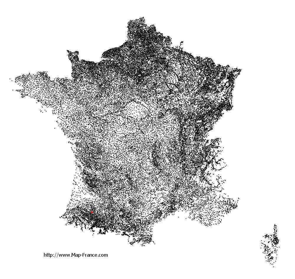
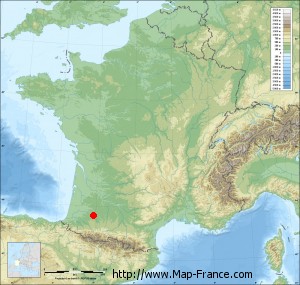
Maumusson-Laguian on the relief France map in Lambert 93 coordinates
|

See the map of Maumusson-Laguian in full screen (1000 x 949)
|
At left, here is the location of Maumusson-Laguian on the relief France map in Lambert 93 coordinates.
Here are the altitudes of Maumusson-Laguian :
- Town hall altitude of Maumusson-Laguian is 167 meters
- Minimum altitude of Maumusson-Laguian is 112 meters
- Maximum altitude of Maumusson-Laguian is 184 meters
- Medium altitude of Maumusson-Laguian is 148 meters
Here are the altitudes of Auch, prefecture of Gers department:
- Town hall altitude of Auch is 134 meters
- Minimum altitude of Auch is 115 meters
- Maximum altitude of Auch is 281 meters
- Medium altitude of Auch is 198 meters
Here are the altitudes of the french biggest cities:
Paris : 33 meters
Marseille : 20 meters
Lyon : 237 meters
Toulouse : 146 meters
Nice : 10 meters
Nantes : 20 meters
Strasbourg : 144 meters
Montpellier : 35 meters
Bordeaux : 16 meters
Lille : 20 meters
Rennes : 35 meters
Reims : 83 meters
Click here for the terrain map of Maumusson-Laguian in full screen:
Relief map of Maumusson-Laguian
|
This relief map of Maumusson-Laguian is reusable and modifiable by making a link to this page of the Map-France.com website or by using the given code :
|
Terrain base map of Maumusson-Laguian
|

See the terrain base map of Maumusson-Laguian in full screen (1000 x 949)
|
Small relief base map of Maumusson-Laguian
|
This base map of Maumusson-Laguian is reusable and modifiable by making a link to this page of the Map-France.com website or by using the given code :
|
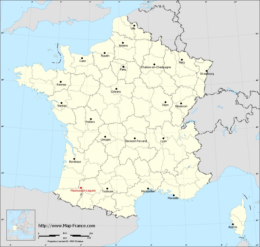
Map of Maumusson-Laguian with regions and prefectures
|
View the map of Maumusson-Laguian in full screen (1000 x 949)
|
You will find the location of Maumusson-Laguian on the map of France of regions in Lambert 93 coordinates. The town of Maumusson-Laguian is located in the department of Gers of the french region Midi-Pyrénées.
Geographical sexagesimal coordinates / GPS (WGS84):
Latitude: 43° 36' 31'' North
Longitude: 00° 06' 07'' West
Geographical decimal coordinates :
Latitude: 43.61 degrees (43.61° North)
Longitude: -0.101 degrees (0.101° West)
Lambert 93 coordinates :
X: 4 496 hectometers
Y: 62 838 hectometers
Lambert 2 coordinates :
X: 4 029 hectometers
Y: 18 483 hectometers
Below, the geographical coordinates of Auch, prefecture of the Gers department:
Geographical sexagesimal coordinates / GPS (WGS84):
Latitude: 43° 38' 43'' North
Longitude: 00° 35' 19'' East
Geographical decimal coordinates :
Latitude: 43.645 degrees (43.645° North)
Longitude: 0.588 degrees (0.588° East)
Lambert 93 coordinates :
X: 5 054 hectometers
Y: 62 859 hectometers
Lambert 2 coordinates :
X: 4 588 hectometers
Y: 18 508 hectometers
|
This map of Maumusson-Laguian is reusable and modifiable by making a link to this page of the Map-France.com website or by using the given code :
|
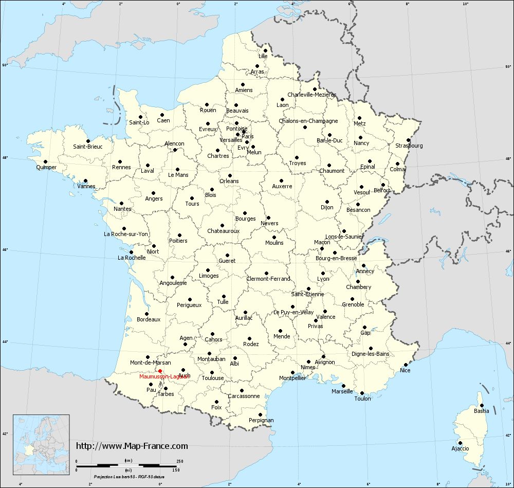
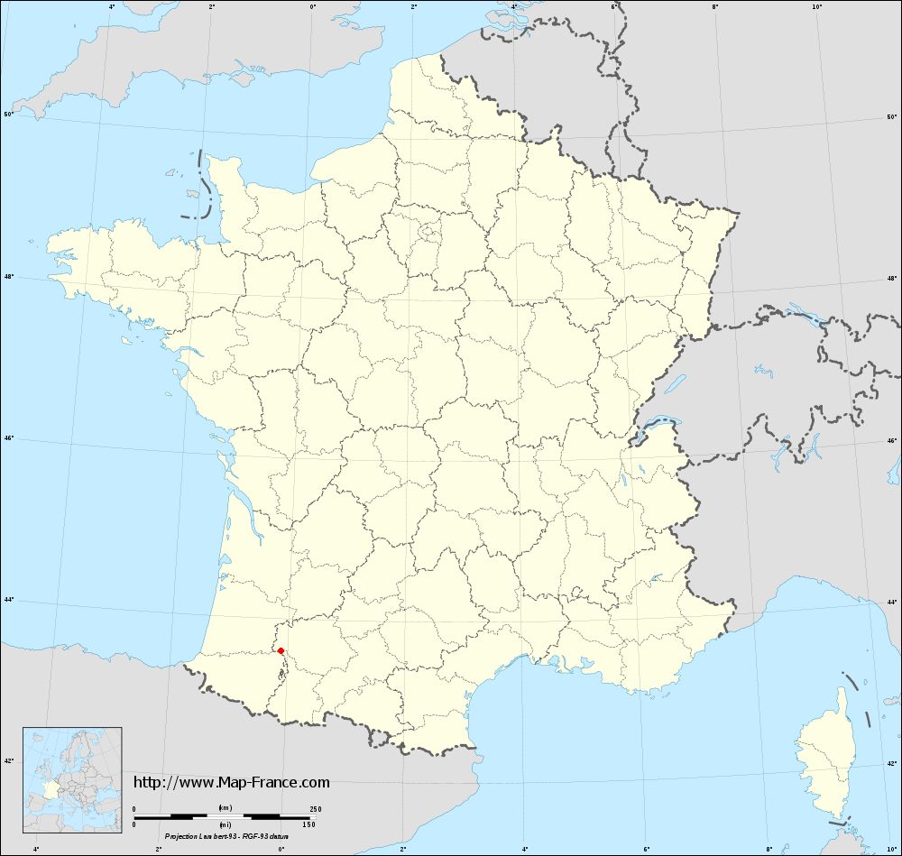
Map of Maumusson-Laguian with departments and prefectures
|
Voir la carte of Maumusson-Laguian en grand format (1000 x 949)
|
Here is the localization of Maumusson-Laguian on the France map of departments in Lambert 93 coordinates. The city of Maumusson-Laguian is shown on the map by a red point.
The town of Maumusson-Laguian is located in the department of Gers of the french region Midi-Pyrénées.
The latitude of Maumusson-Laguian is 43.61 degrees North.
The longitude of Maumusson-Laguian is 0.101 degrees West.
Here the distance between Maumusson-Laguian and the biggest cities of France:
Distances are calculated as the crow flies (orthodromic distance)
Distance between Maumusson-Laguian and Paris : 612.87 kilometers
Distance between Maumusson-Laguian and Marseille : 444.93 kilometers
Distance between Maumusson-Laguian and Lyon : 457.13 kilometers
Distance between Maumusson-Laguian and Toulouse : 124.81 kilometers
Distance between Maumusson-Laguian and Nice : 591.79 kilometers
Distance between Maumusson-Laguian and Nantes : 416.68 kilometers
Distance between Maumusson-Laguian and Strasbourg : 818.93 kilometers
Distance between Maumusson-Laguian and Montpellier : 319.77 kilometers
Distance between Maumusson-Laguian and Bordeaux : 142.1 kilometers
Distance between Maumusson-Laguian and Lille : 815.02 kilometers
Distance between Maumusson-Laguian and Rennes : 514.42 kilometers
Distance between Maumusson-Laguian and Reims : 702.54 kilometers
Clic here to see the map of Maumusson-Laguian in full screen:
Maumusson-Laguian on the map of french departments
|
This administrative map of Maumusson-Laguian is reusable and modifiable by making a link to this page of the Map-France.com website or by using the given code :
|
Administrative base maps of Maumusson-Laguian
|
See the administrative base map of Maumusson-Laguian in full screen (1000 x 949)
|
Small administrative base map of Maumusson-Laguian
|
This base map administrative of Maumusson-Laguian is reusable and modifiable by making a link to this page of the Map-France.com website or by using the given code :
|
 French Version : http://www.cartesfrance.fr