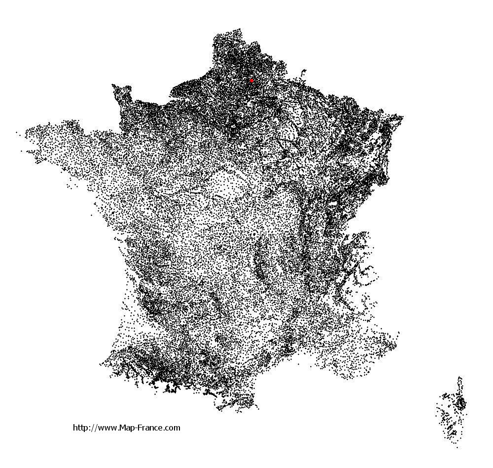
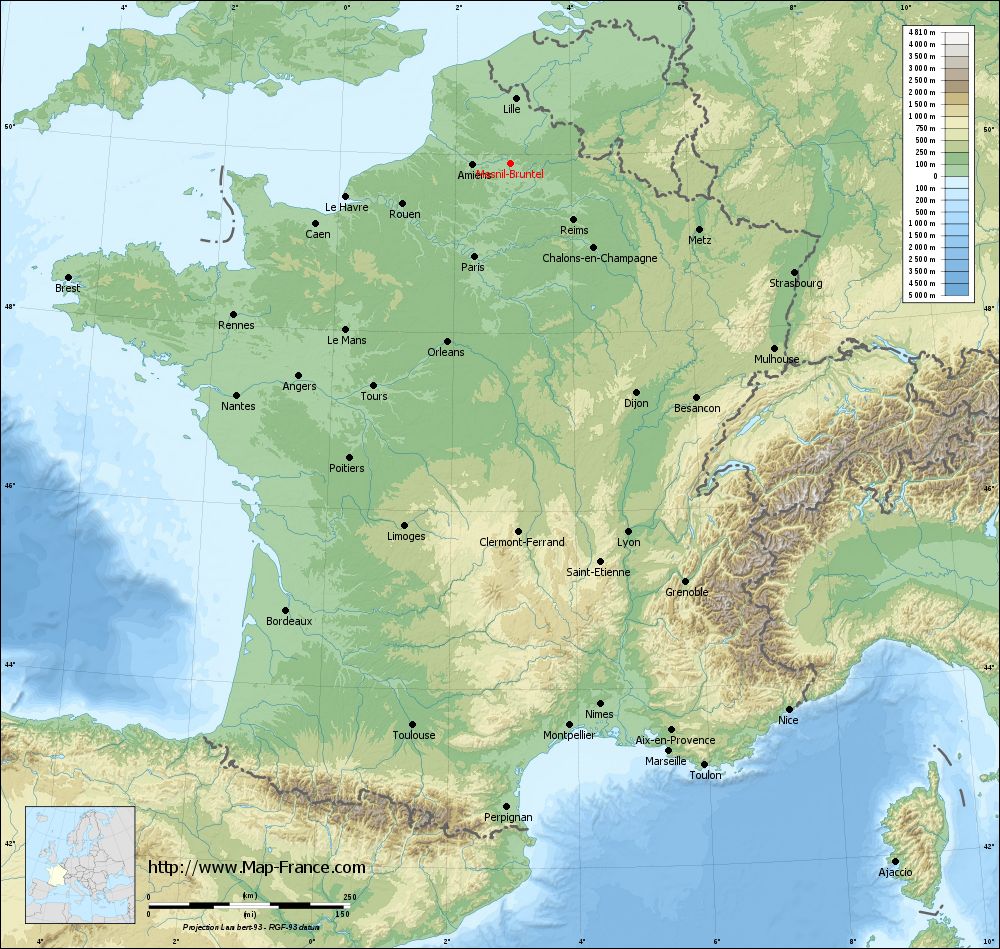
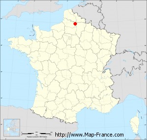
Mesnil-Bruntel on the relief France map in Lambert 93 coordinates
|
See the map of Mesnil-Bruntel in full screen (1000 x 949)
|
At left, here is the location of Mesnil-Bruntel on the relief France map in Lambert 93 coordinates.
Here are the altitudes of Mesnil-Bruntel :
- Town hall altitude of Mesnil-Bruntel is 50 meters
- Minimum altitude of Mesnil-Bruntel is 48 meters
- Maximum altitude of Mesnil-Bruntel is 85 meters
- Medium altitude of Mesnil-Bruntel is 67 meters
Here are the altitudes of Amiens, prefecture of Somme department:
- Town hall altitude of Amiens is 35 meters
- Minimum altitude of Amiens is 14 meters
- Maximum altitude of Amiens is 106 meters
- Medium altitude of Amiens is 60 meters
Here are the altitudes of the french biggest cities:
Paris : 33 meters
Marseille : 20 meters
Lyon : 237 meters
Toulouse : 146 meters
Nice : 10 meters
Nantes : 20 meters
Strasbourg : 144 meters
Montpellier : 35 meters
Bordeaux : 16 meters
Lille : 20 meters
Rennes : 35 meters
Reims : 83 meters
Click here for the terrain map of Mesnil-Bruntel in full screen:
Relief map of Mesnil-Bruntel
|
This relief map of Mesnil-Bruntel is reusable and modifiable by making a link to this page of the Map-France.com website or by using the given code :
|
Terrain base map of Mesnil-Bruntel
|

See the terrain base map of Mesnil-Bruntel in full screen (1000 x 949)
|
Small relief base map of Mesnil-Bruntel
|
This base map of Mesnil-Bruntel is reusable and modifiable by making a link to this page of the Map-France.com website or by using the given code :
|
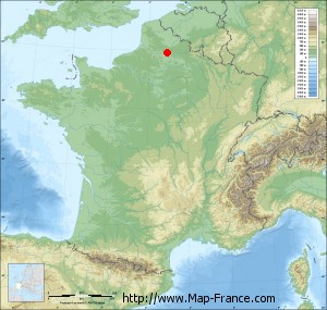
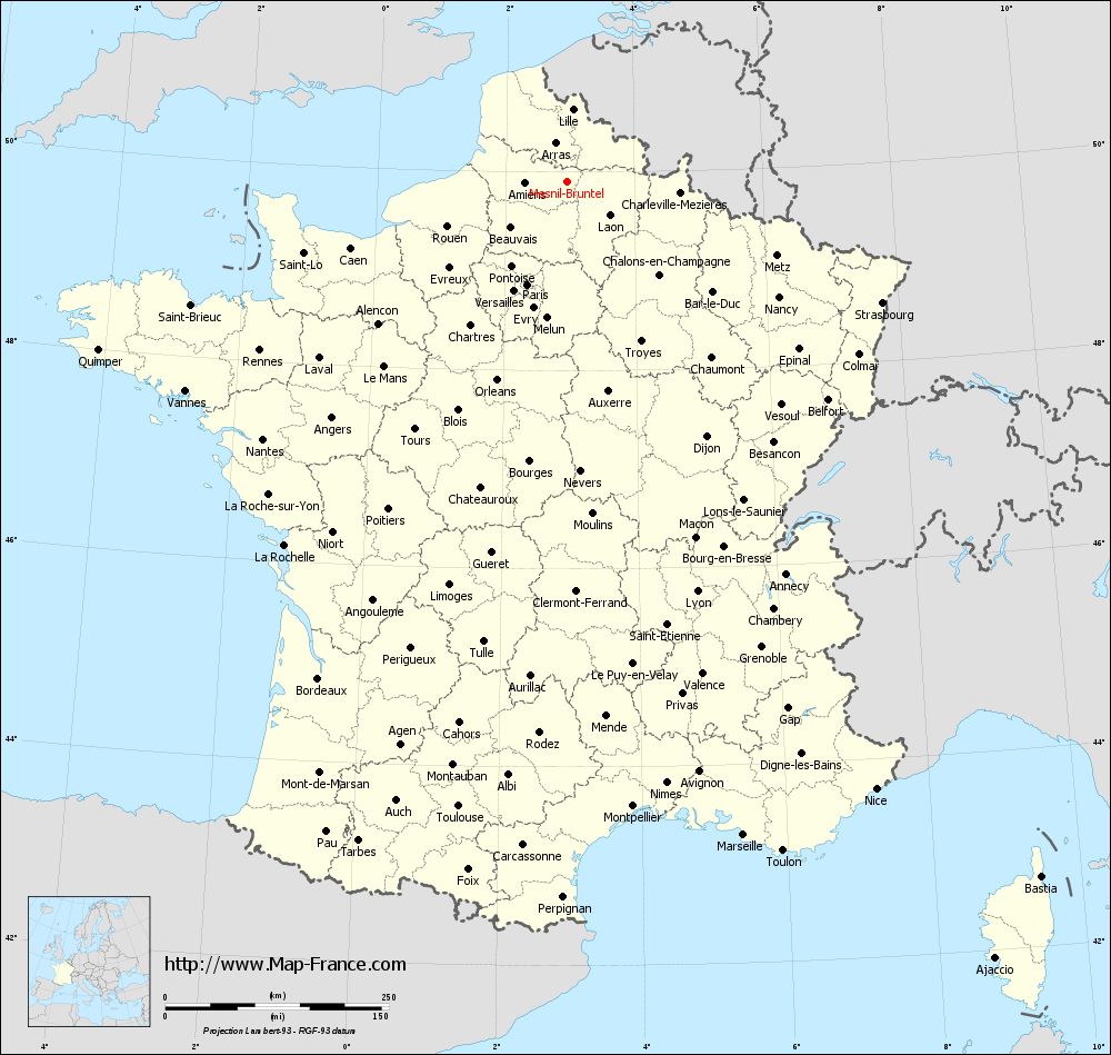
Map of Mesnil-Bruntel with regions and prefectures
|
View the map of Mesnil-Bruntel in full screen (1000 x 949)
|
You will find the location of Mesnil-Bruntel on the map of France of regions in Lambert 93 coordinates. The town of Mesnil-Bruntel is located in the department of Somme of the french region Picardie.
Geographical sexagesimal coordinates / GPS (WGS84):
Latitude: 49° 53' 49'' North
Longitude: 02° 57' 32'' East
Geographical decimal coordinates :
Latitude: 49.897 degrees (49.897° North)
Longitude: 2.961 degrees (2.961° East)
Lambert 93 coordinates :
X: 6 970 hectometers
Y: 69 776 hectometers
Lambert 2 coordinates :
X: 6 448 hectometers
Y: 25 447 hectometers
Below, the geographical coordinates of Amiens, prefecture of the Somme department:
Geographical sexagesimal coordinates / GPS (WGS84):
Latitude: 49° 53' 31'' North
Longitude: 02° 17' 52'' East
Geographical decimal coordinates :
Latitude: 49.894 degrees (49.894° North)
Longitude: 2.293 degrees (2.293° East)
Lambert 93 coordinates :
X: 6 495 hectometers
Y: 69 772 hectometers
Lambert 2 coordinates :
X: 5 972 hectometers
Y: 25 439 hectometers
|
This map of Mesnil-Bruntel is reusable and modifiable by making a link to this page of the Map-France.com website or by using the given code :
|
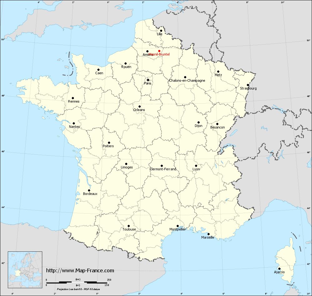
Map of Mesnil-Bruntel with departments and prefectures
|
Voir la carte of Mesnil-Bruntel en grand format (1000 x 949)
|
Here is the localization of Mesnil-Bruntel on the France map of departments in Lambert 93 coordinates. The city of Mesnil-Bruntel is shown on the map by a red point.
The town of Mesnil-Bruntel is located in the department of Somme of the french region Picardie.
The latitude of Mesnil-Bruntel is 49.897 degrees North.
The longitude of Mesnil-Bruntel is 2.961 degrees East.
Here the distance between Mesnil-Bruntel and the biggest cities of France:
Distances are calculated as the crow flies (orthodromic distance)
Distance between Mesnil-Bruntel and Paris : 123.47 kilometers
Distance between Mesnil-Bruntel and Marseille : 756.46 kilometers
Distance between Mesnil-Bruntel and Lyon : 480.46 kilometers
Distance between Mesnil-Bruntel and Toulouse : 709.04 kilometers
Distance between Mesnil-Bruntel and Nice : 761.41 kilometers
Distance between Mesnil-Bruntel and Nantes : 445.7 kilometers
Distance between Mesnil-Bruntel and Strasbourg : 377.09 kilometers
Distance between Mesnil-Bruntel and Montpellier : 702.14 kilometers
Distance between Mesnil-Bruntel and Bordeaux : 621.24 kilometers
Distance between Mesnil-Bruntel and Lille : 81.38 kilometers
Distance between Mesnil-Bruntel and Rennes : 392.29 kilometers
Distance between Mesnil-Bruntel and Reims : 104.86 kilometers
Clic here to see the map of Mesnil-Bruntel in full screen:
Mesnil-Bruntel on the map of french departments
|
This administrative map of Mesnil-Bruntel is reusable and modifiable by making a link to this page of the Map-France.com website or by using the given code :
|
Administrative base maps of Mesnil-Bruntel
|

See the administrative base map of Mesnil-Bruntel in full screen (1000 x 949)
|
Small administrative base map of Mesnil-Bruntel
|
This base map administrative of Mesnil-Bruntel is reusable and modifiable by making a link to this page of the Map-France.com website or by using the given code :
|
 French Version : http://www.cartesfrance.fr