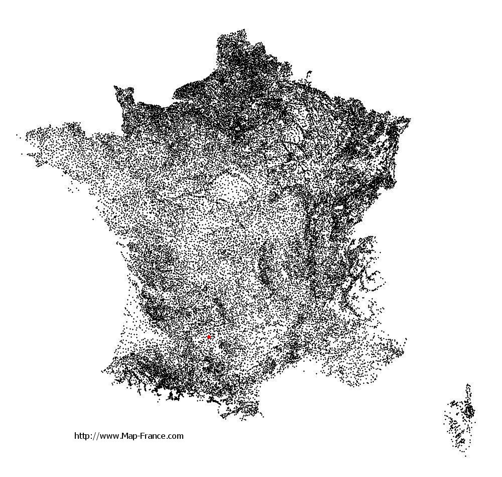
Montalzat on the relief France map in Lambert 93 coordinates
|

See the map of Montalzat in full screen (1000 x 949)
|
At left, here is the location of Montalzat on the relief France map in Lambert 93 coordinates.
Here are the altitudes of Montalzat :
- Town hall altitude of Montalzat is 300 meters
- Minimum altitude of Montalzat is 115 meters
- Maximum altitude of Montalzat is 306 meters
- Medium altitude of Montalzat is 211 meters
Here are the altitudes of Montauban, prefecture of Tarn-et-Garonne department:
- Town hall altitude of Montauban is 103 meters
- Minimum altitude of Montauban is 72 meters
- Maximum altitude of Montauban is 207 meters
- Medium altitude of Montauban is 140 meters
Here are the altitudes of the french biggest cities:
Paris : 33 meters
Marseille : 20 meters
Lyon : 237 meters
Toulouse : 146 meters
Nice : 10 meters
Nantes : 20 meters
Strasbourg : 144 meters
Montpellier : 35 meters
Bordeaux : 16 meters
Lille : 20 meters
Rennes : 35 meters
Reims : 83 meters
Click here for the terrain map of Montalzat in full screen:
Relief map of Montalzat
|
This relief map of Montalzat is reusable and modifiable by making a link to this page of the Map-France.com website or by using the given code :
|
Terrain base map of Montalzat
|

See the terrain base map of Montalzat in full screen (1000 x 949)
|
Small relief base map of Montalzat
|
This base map of Montalzat is reusable and modifiable by making a link to this page of the Map-France.com website or by using the given code :
|
Map of Montalzat with regions and prefectures
|
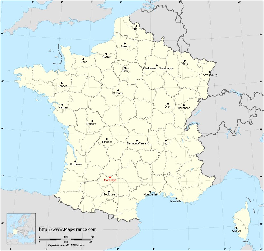
View the map of Montalzat in full screen (1000 x 949)
|
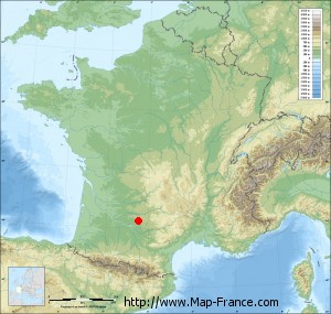
You will find the location of Montalzat on the map of France of regions in Lambert 93 coordinates. The town of Montalzat is located in the department of Tarn-et-Garonne of the french region Midi-Pyrénées.
Geographical sexagesimal coordinates / GPS (WGS84):
Latitude: 44° 12' 30'' North
Longitude: 01° 29' 60'' East
Geographical decimal coordinates :
Latitude: 44.208 degrees (44.208° North)
Longitude: 1.501 degrees (1.501° East)
Lambert 93 coordinates :
X: 5 801 hectometers
Y: 63 466 hectometers
Lambert 2 coordinates :
X: 5 331 hectometers
Y: 19 123 hectometers
Below, the geographical coordinates of Montauban, prefecture of the Tarn-et-Garonne department:
Geographical sexagesimal coordinates / GPS (WGS84):
Latitude: 44° 01' 02'' North
Longitude: 01° 21' 18'' East
Geographical decimal coordinates :
Latitude: 44.018 degrees (44.018° North)
Longitude: 1.36 degrees (1.36° East)
Lambert 93 coordinates :
X: 5 681 hectometers
Y: 63 256 hectometers
Lambert 2 coordinates :
X: 5 212 hectometers
Y: 18 911 hectometers
|
This map of Montalzat is reusable and modifiable by making a link to this page of the Map-France.com website or by using the given code :
|
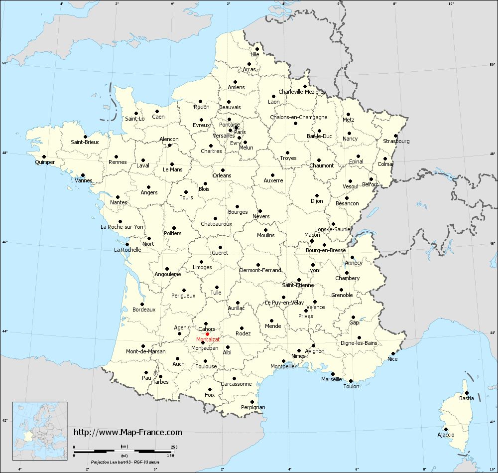
Map of Montalzat with departments and prefectures
|
Voir la carte of Montalzat en grand format (1000 x 949)
|
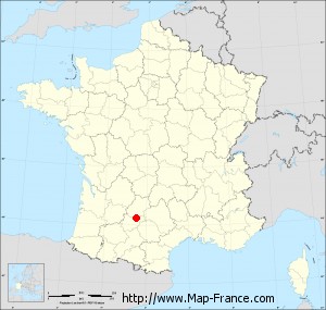
Here is the localization of Montalzat on the France map of departments in Lambert 93 coordinates. The city of Montalzat is shown on the map by a red point.
The town of Montalzat is located in the department of Tarn-et-Garonne of the french region Midi-Pyrénées.
The latitude of Montalzat is 44.208 degrees North.
The longitude of Montalzat is 1.501 degrees East.
Here the distance between Montalzat and the biggest cities of France:
Distances are calculated as the crow flies (orthodromic distance)
Distance between Montalzat and Paris : 521.02 kilometers
Distance between Montalzat and Marseille : 328.78 kilometers
Distance between Montalzat and Lyon : 313.63 kilometers
Distance between Montalzat and Toulouse : 67.61 kilometers
Distance between Montalzat and Nice : 464.06 kilometers
Distance between Montalzat and Nantes : 409.96 kilometers
Distance between Montalzat and Strasbourg : 682.37 kilometers
Distance between Montalzat and Montpellier : 201.27 kilometers
Distance between Montalzat and Bordeaux : 178.94 kilometers
Distance between Montalzat and Lille : 722.7 kilometers
Distance between Montalzat and Rennes : 497.61 kilometers
Distance between Montalzat and Reims : 593.23 kilometers
Clic here to see the map of Montalzat in full screen:
Montalzat on the map of french departments
|
This administrative map of Montalzat is reusable and modifiable by making a link to this page of the Map-France.com website or by using the given code :
|
Administrative base maps of Montalzat
|

See the administrative base map of Montalzat in full screen (1000 x 949)
|
Small administrative base map of Montalzat
|
This base map administrative of Montalzat is reusable and modifiable by making a link to this page of the Map-France.com website or by using the given code :
|
 French Version : http://www.cartesfrance.fr